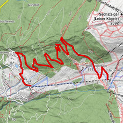
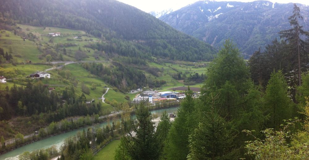
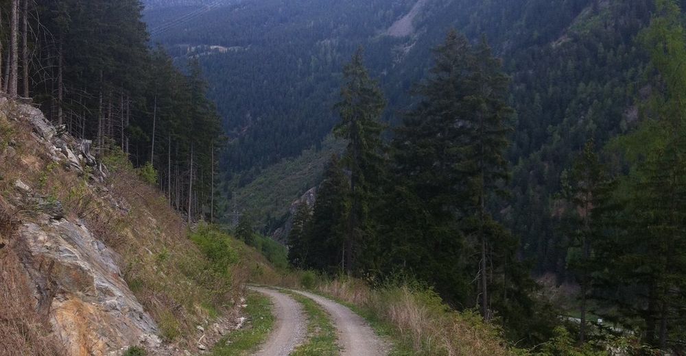
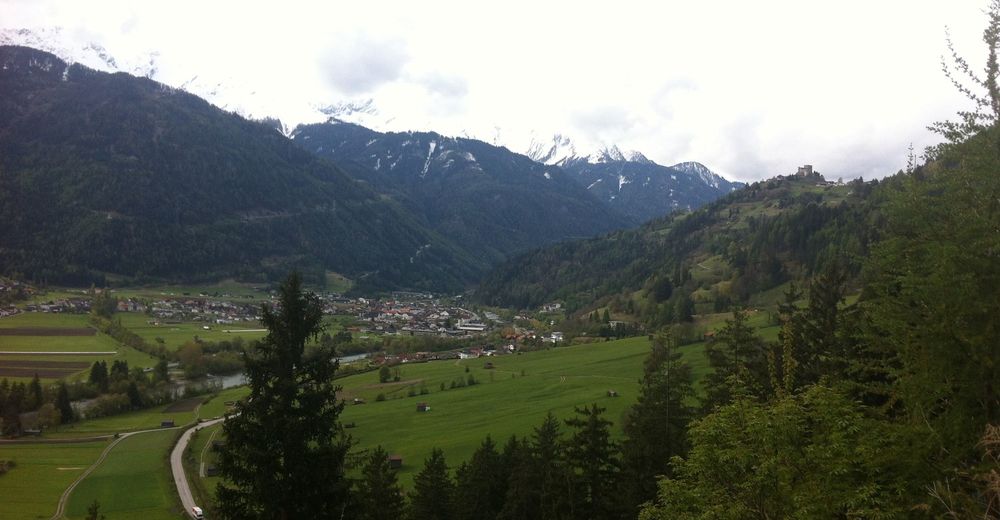
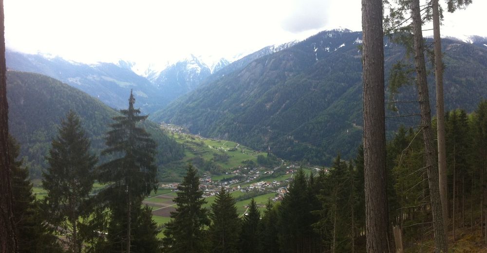
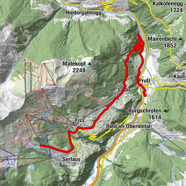
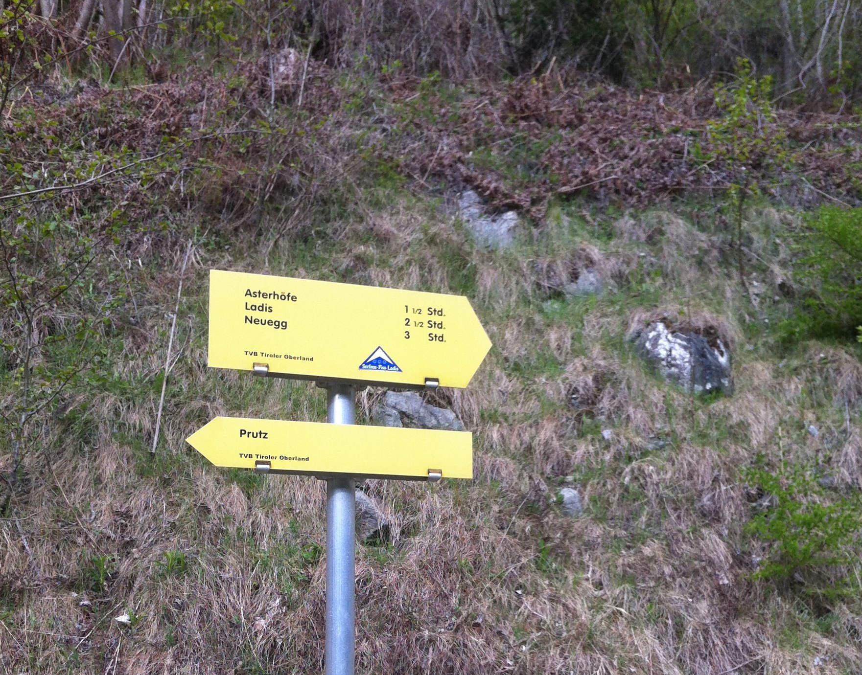
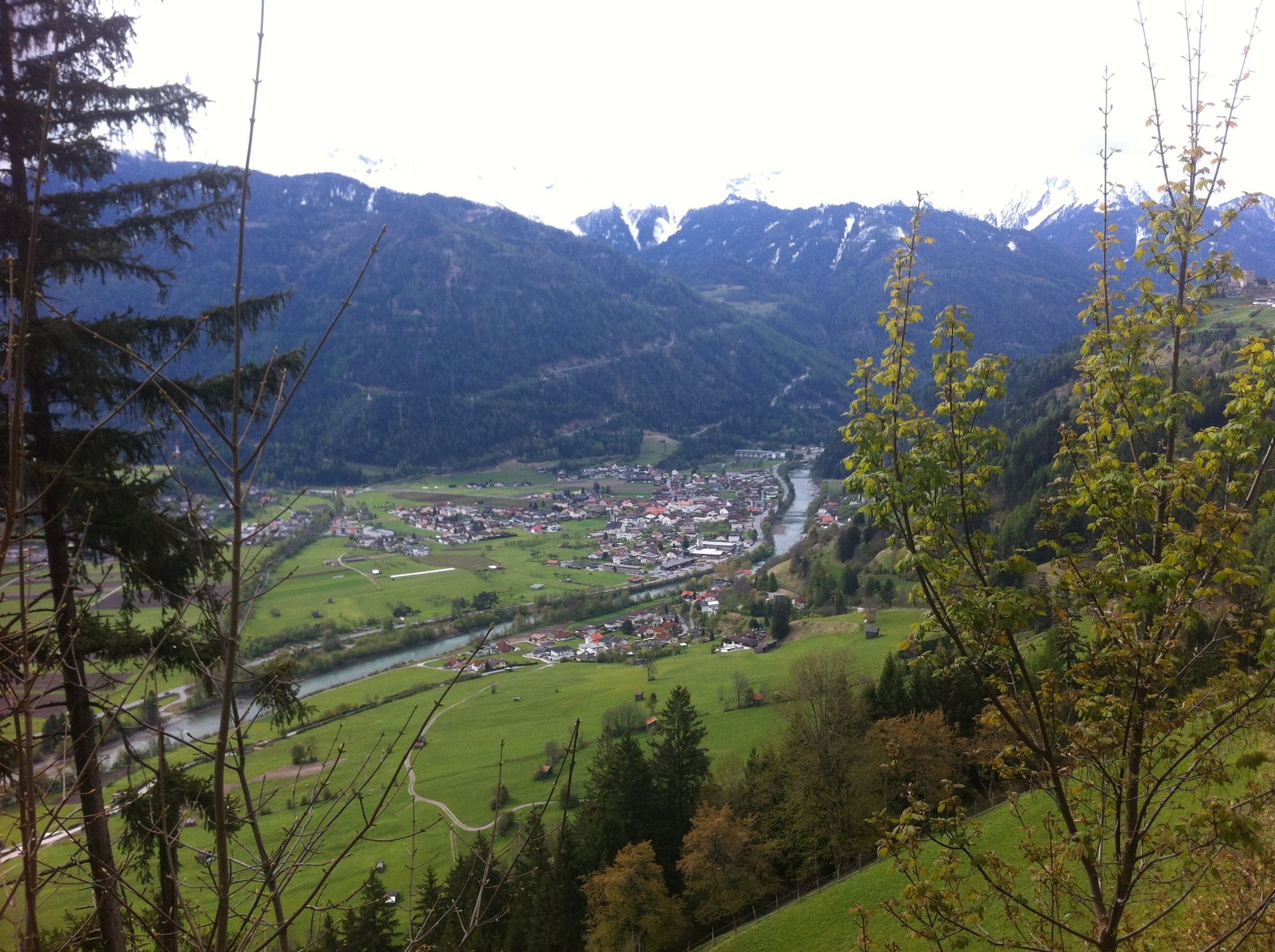
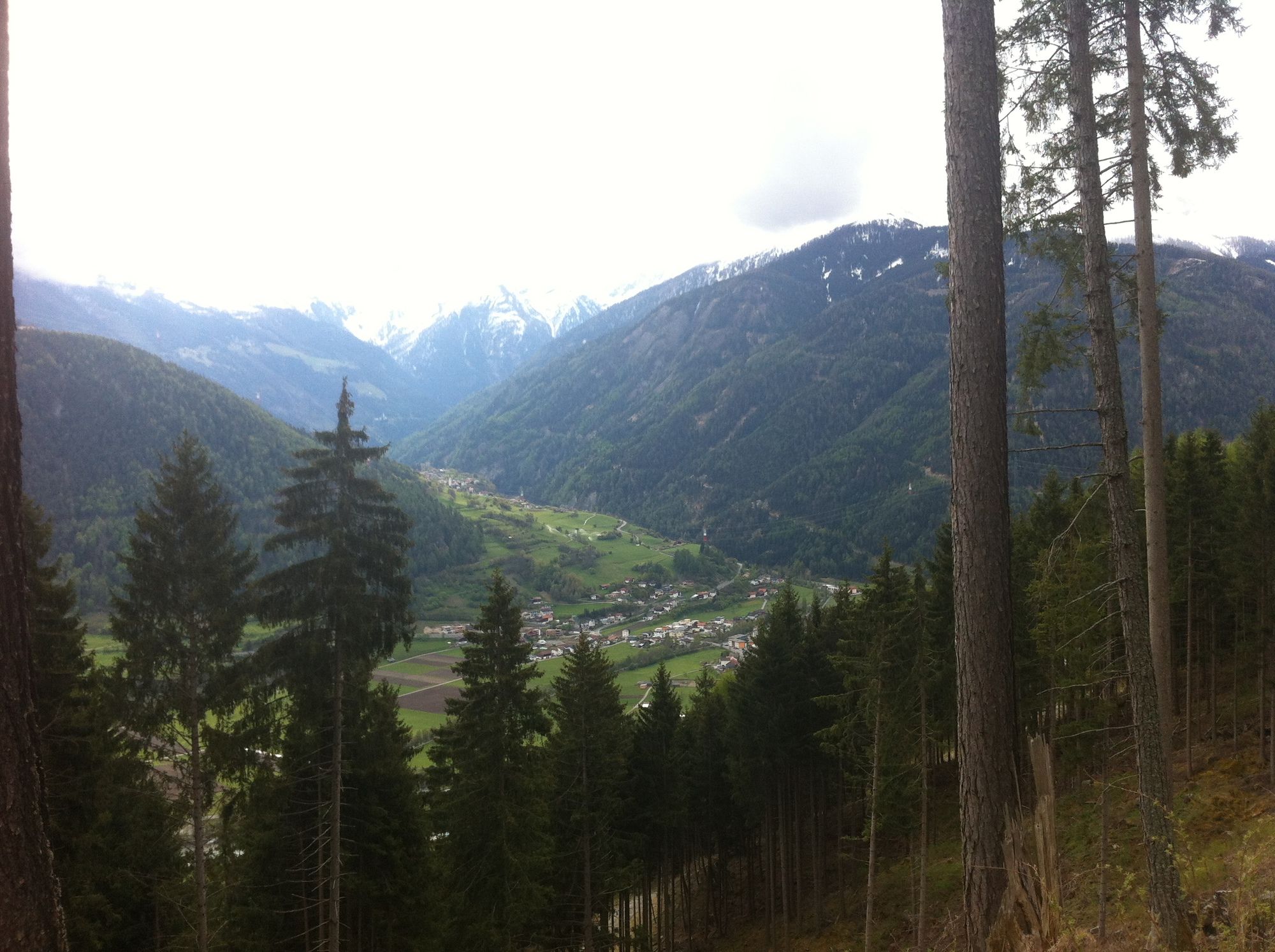
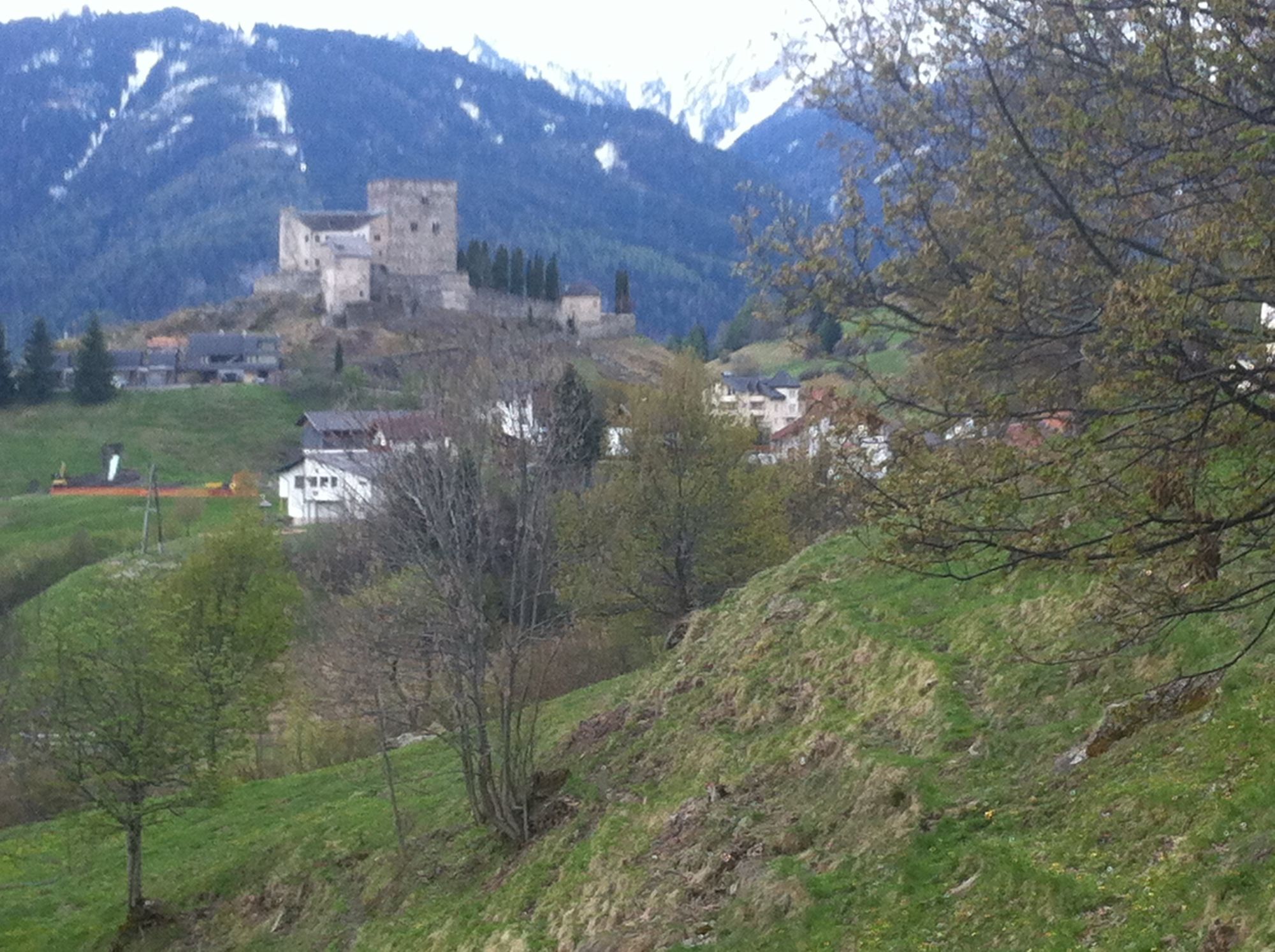
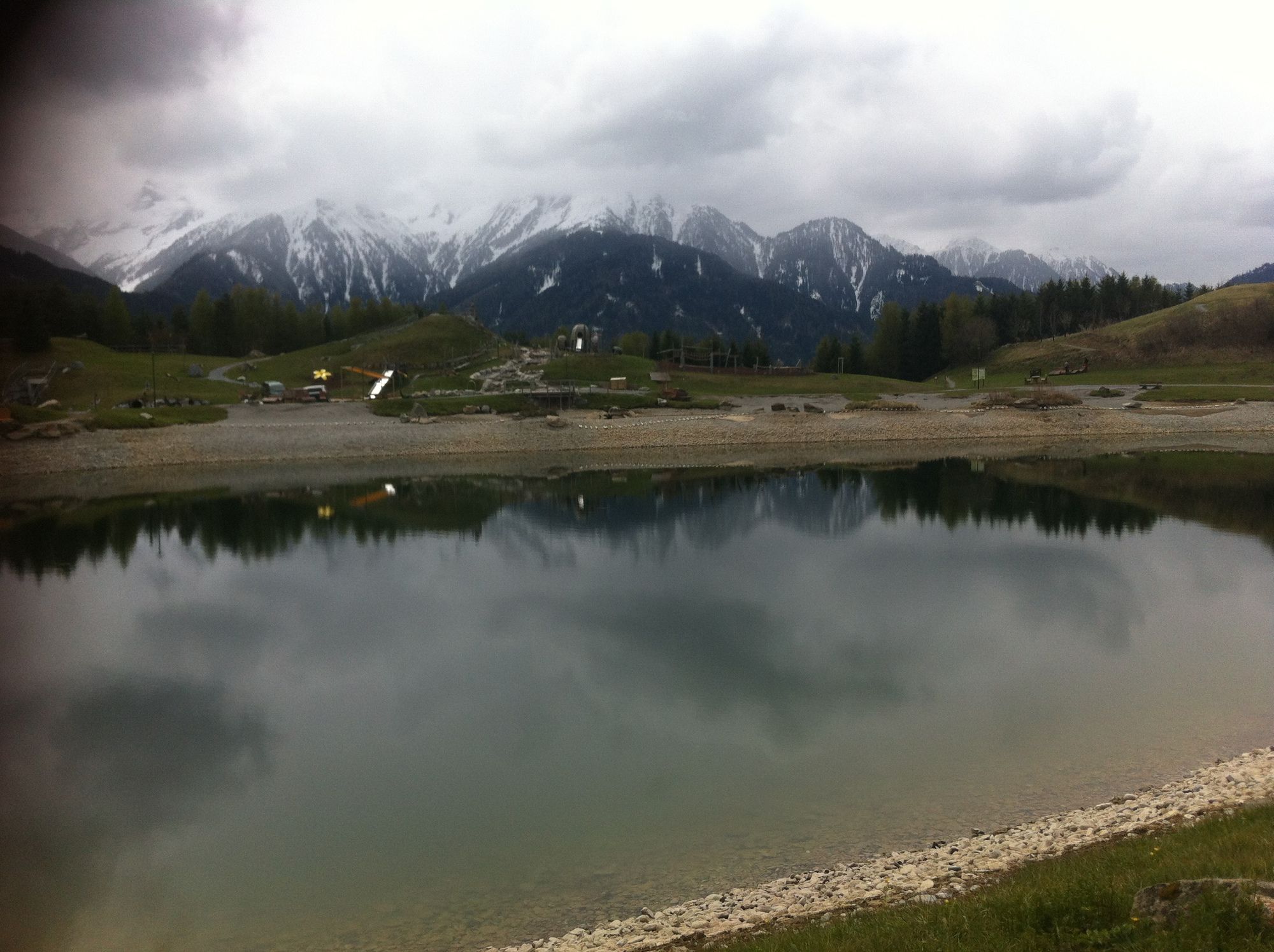
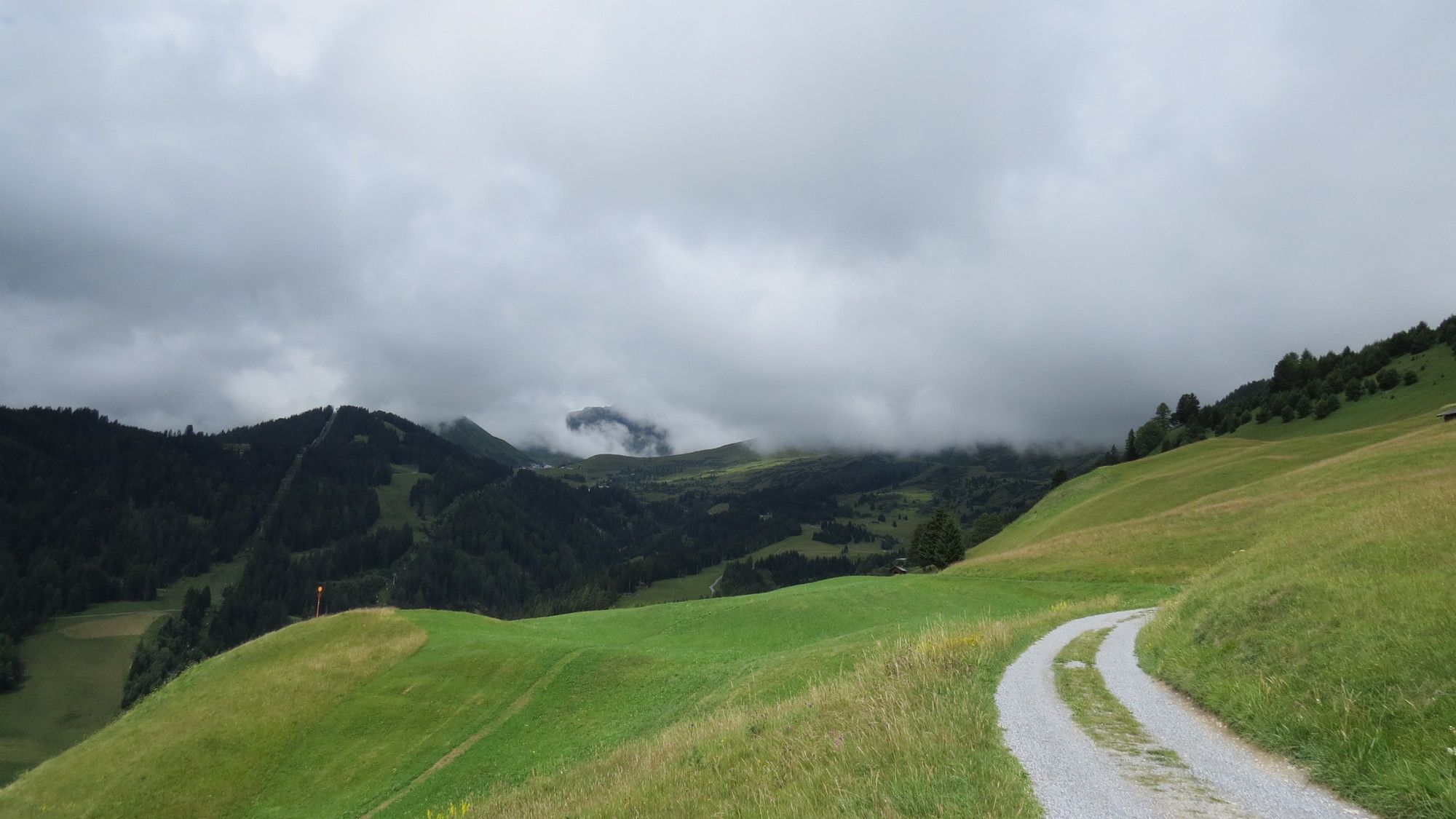
Prutz - Asterhöfe - Serfaus - Leithewirt

Mountainbike


Datos del tour
16,33km
863
- 1.657m
924hm
128hm
00:54h
- Breve descripción
-
Prutz - Asterhöfe - Serfaus - Leithewirt
- Dificultad
-
medio
- Valoración
-
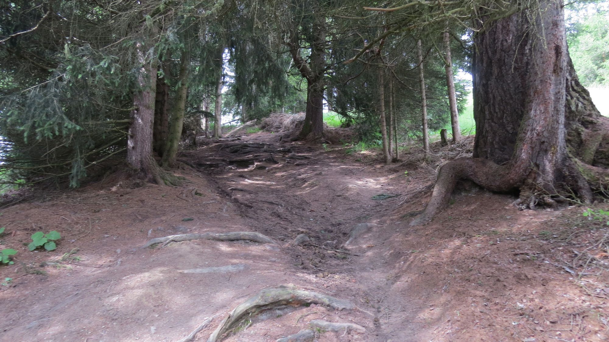
- Ruta
-
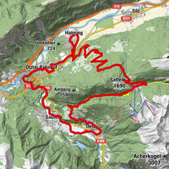
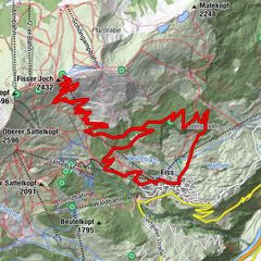
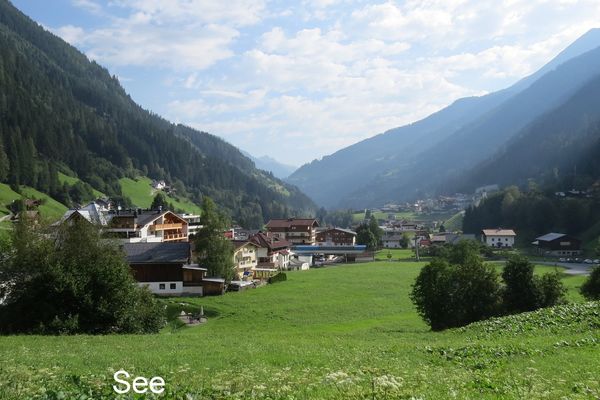
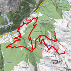
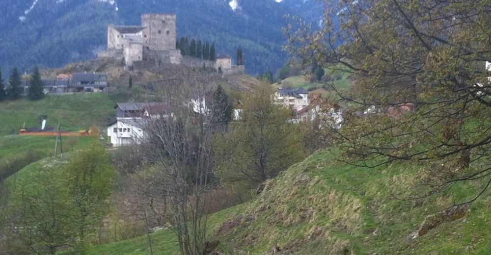
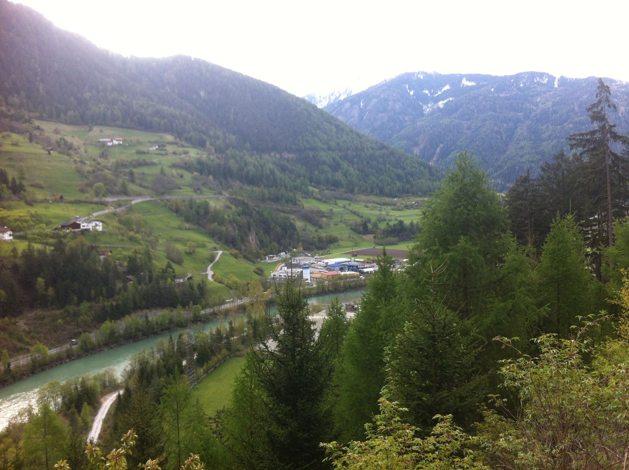
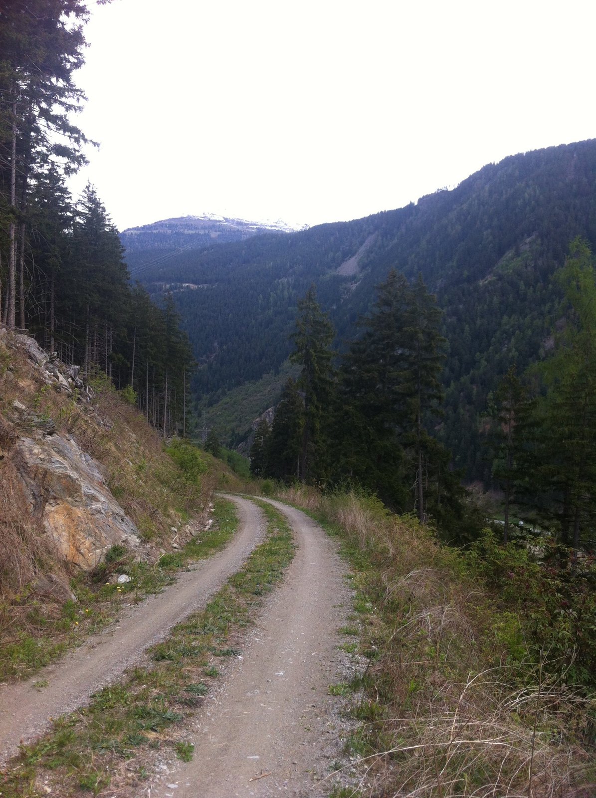
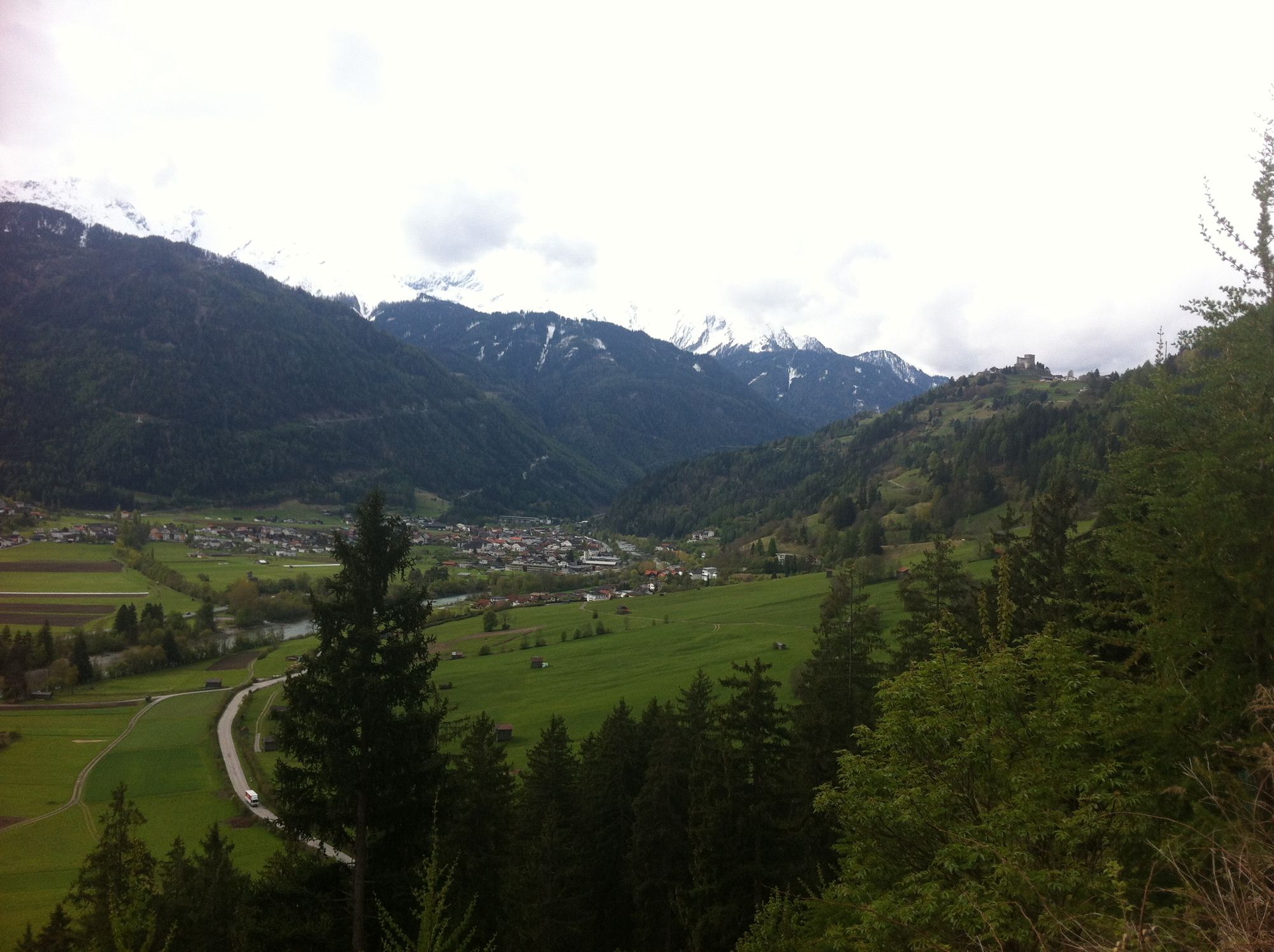
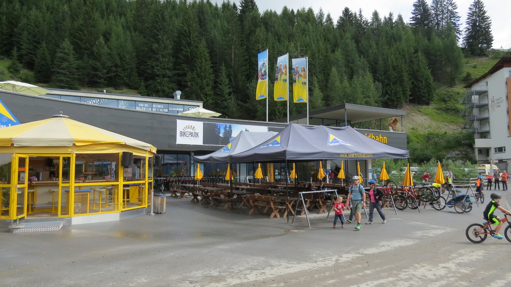
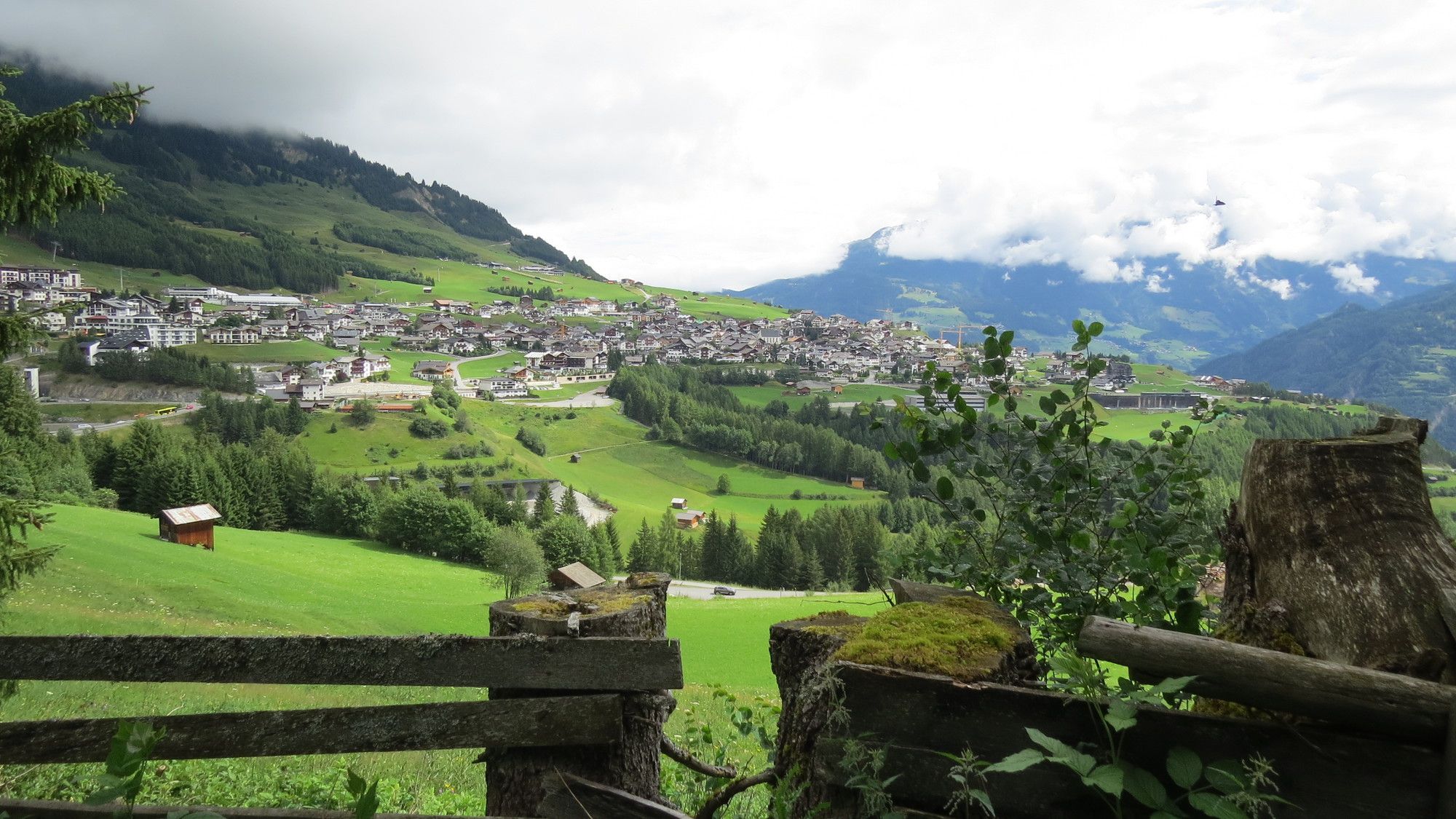
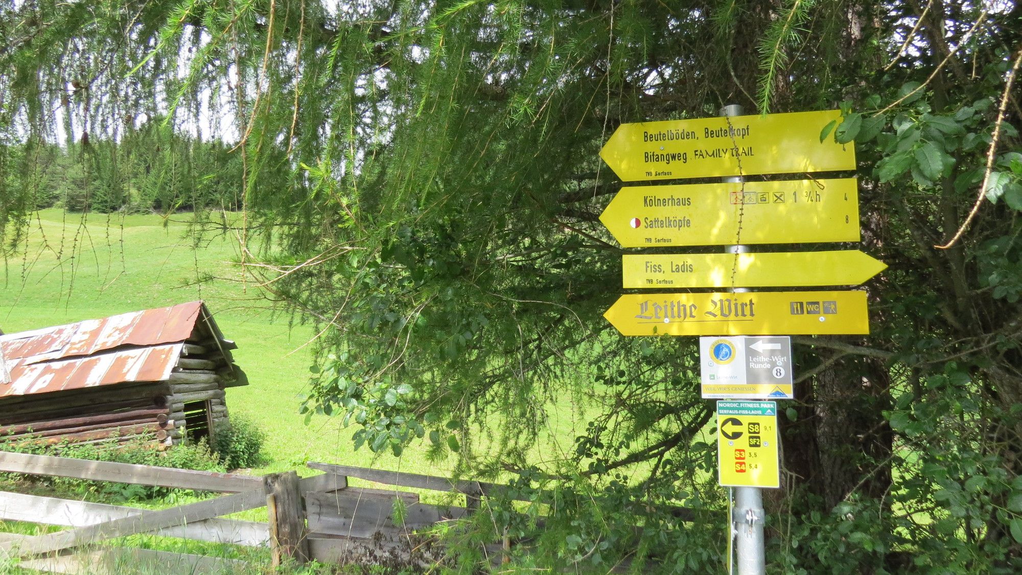
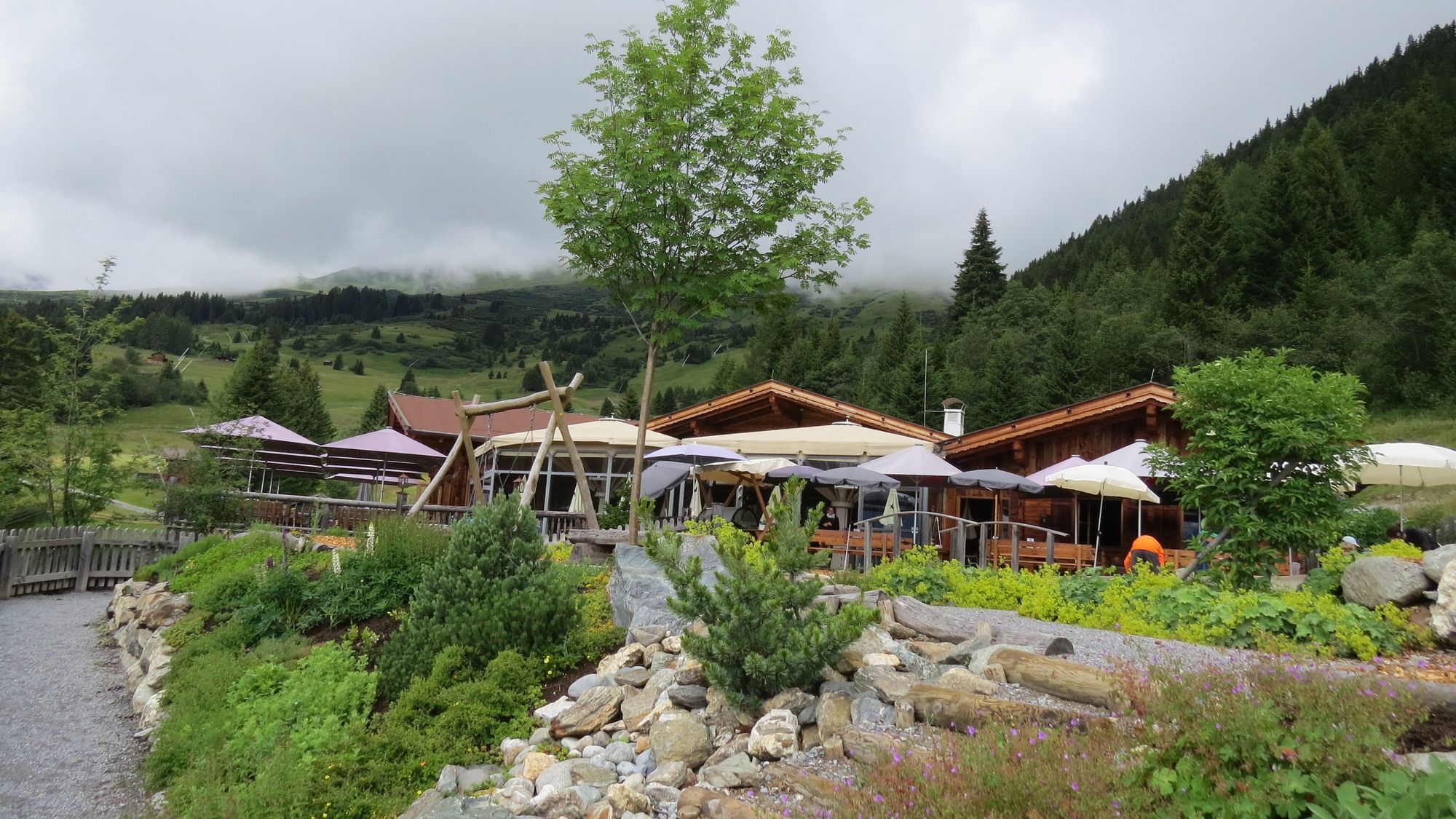
Gasthof Gemse0,4 kmHotel Post0,6 kmPrutz (864 m)0,7 kmEntbruck1,3 kmRestaurant Pizzeria Reblaus8,9 kmTotenkapelle8,9 kmLadis (1.189 m)9,1 kmJosefskapelle11,9 kmFiss (1.438 m)12,5 kmAntoniuskapelle12,6 kmLeithe Wirt16,2 km
- Punto álgido
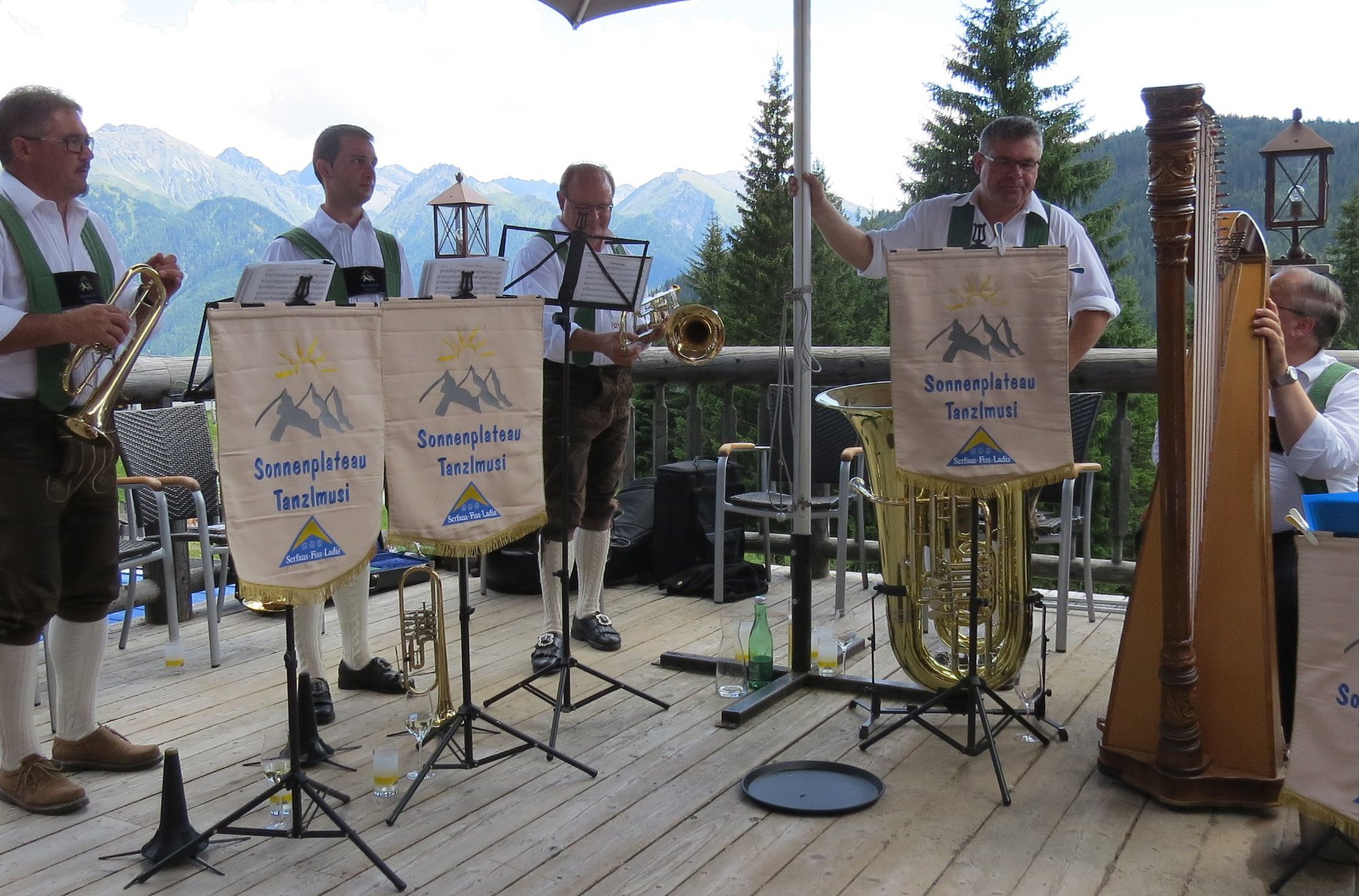
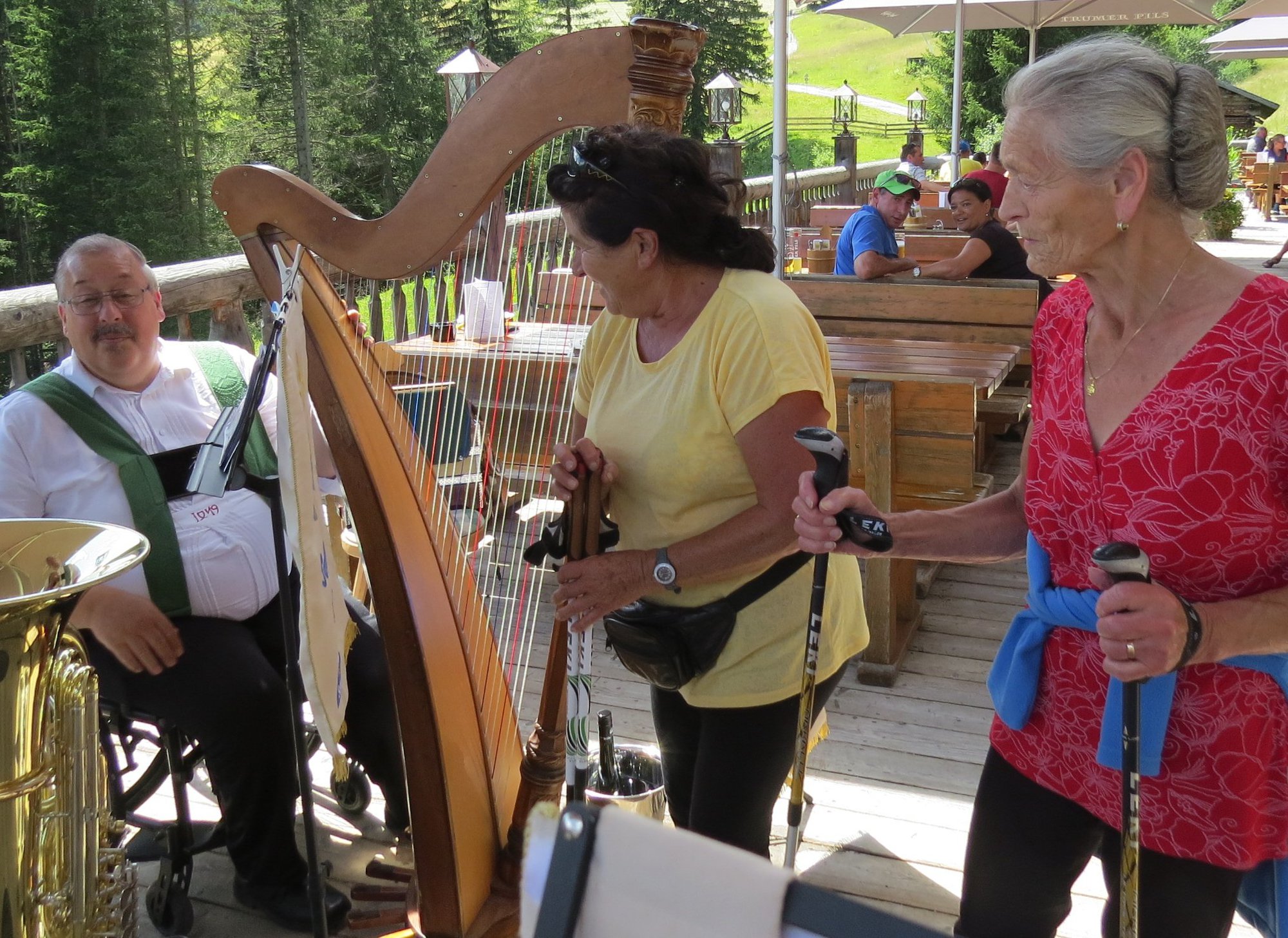
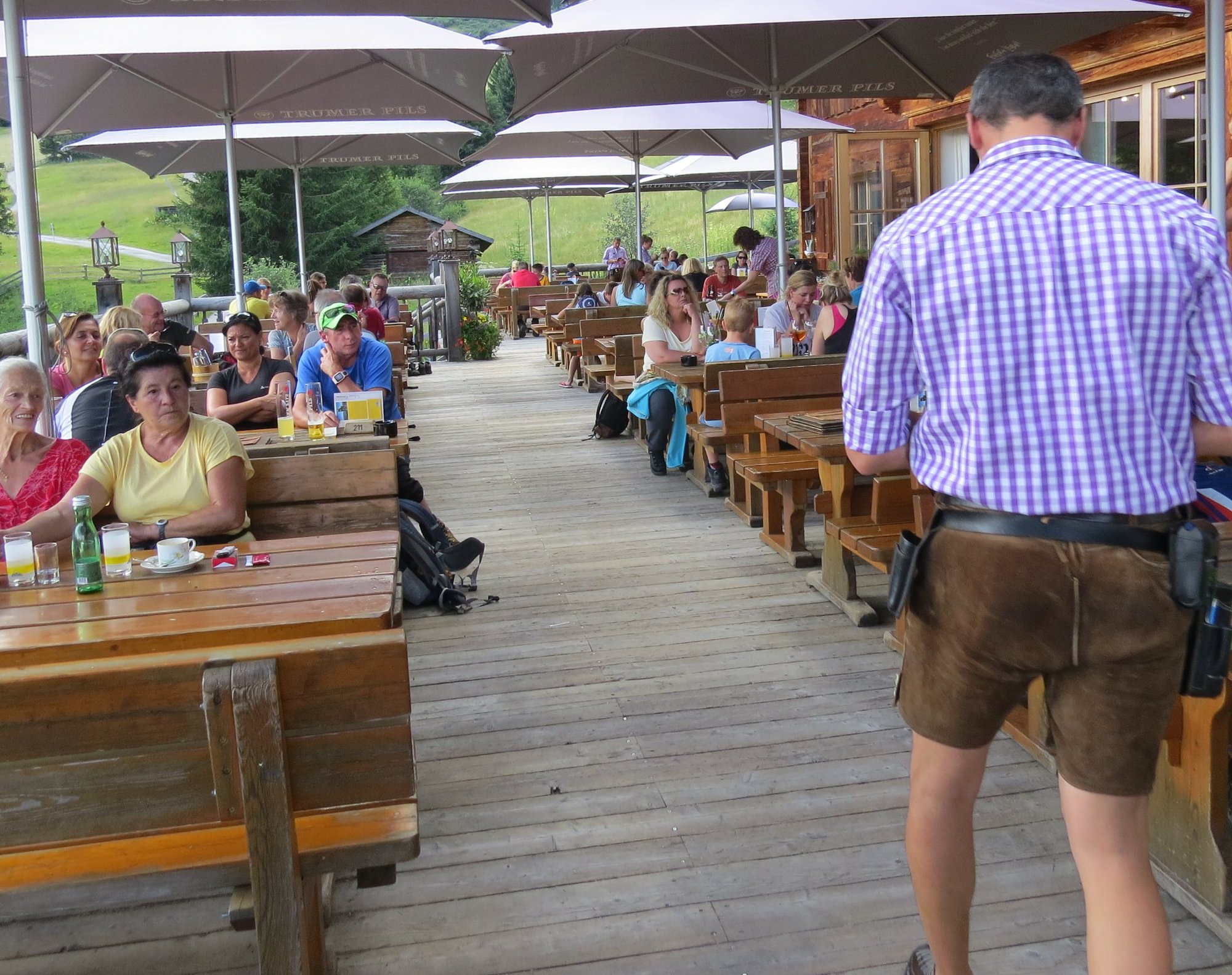
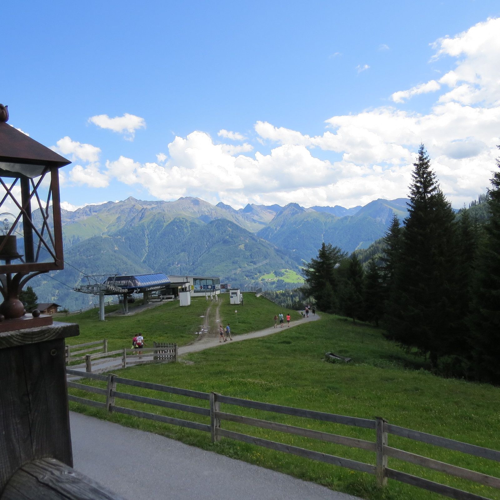
- Leithewirt (1.657 m)


- Fuente
- Ferdinand Baumgartner
GPS Downloads


Más circuitos por las regiones
-
Serfaus - Fiss - Ladis
229
-
Ladis
74