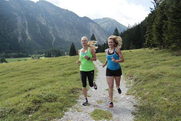
© Panoramahotel Talhof - Tanja Weirather


- Dificultad
-
fácil
- Valoración
-
- Ruta
-
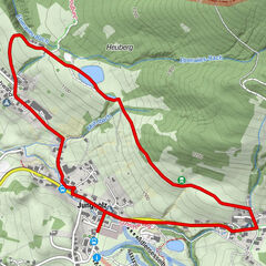
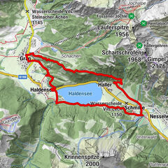
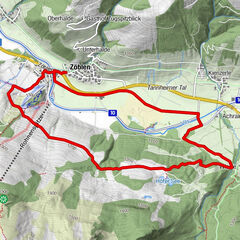
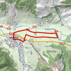
Holz0,1 kmWinkl0,3 kmPlatten1,5 kmGraben1,7 kmBuchenort2,2 kmLechaschau (846 m)3,1 kmReutte (853 m)3,3 kmLechaschauer Kirche3,4 kmKolomankapelle5,5 kmHinterbichl5,5 kmWängle (882 m)8,0 kmWinkl9,0 kmHolz9,3 km
- La mejor temporada
-
enefebmarabrmayjunjulagosepoctnovdic
- Punto álgido
- 966 m
- Punto final
-
Hotel Talhof
- Perfil alto
-


- Autor
-
La gira Lechufer Trail es utilizado por outdooractive.com proporcionado.
GPS Downloads


Información general
Punto de avituallamiento
Más circuitos por las regiones
-
Allgäu
60
-
Naturparkregion Reutte
51
-
Lechaschau
13