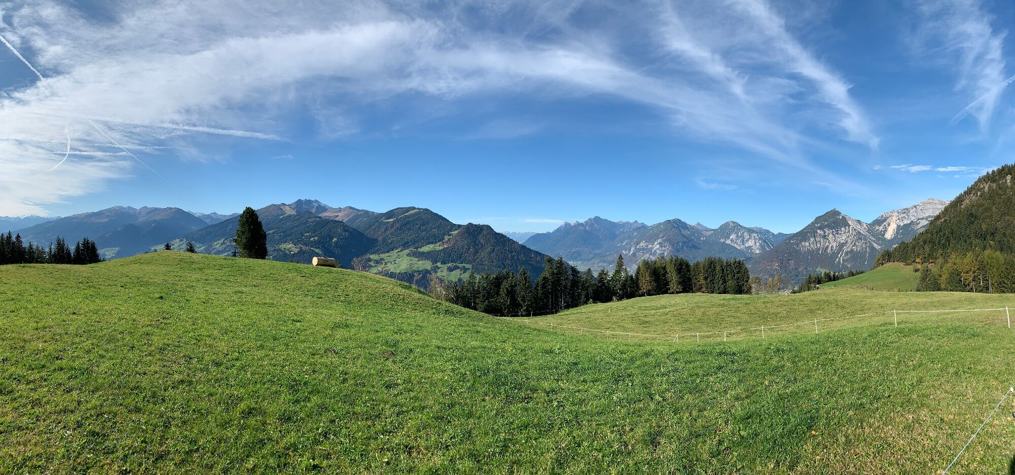
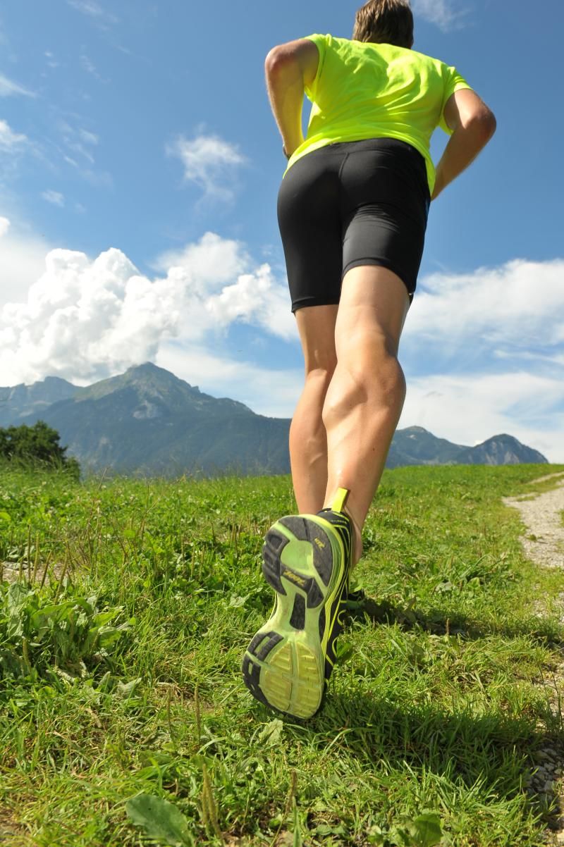
© Alpbachtal Tourismus - Manuel Hufnagel
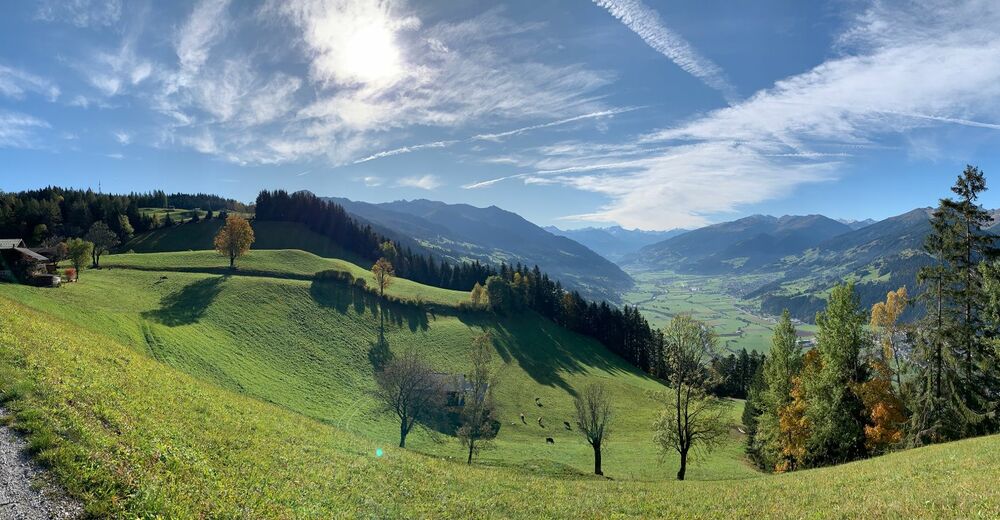
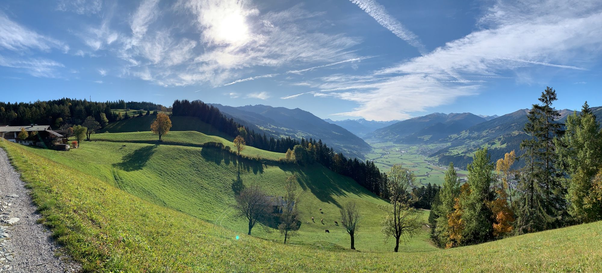
© Alpbachtal Tourismus - Manuel Hufnagel

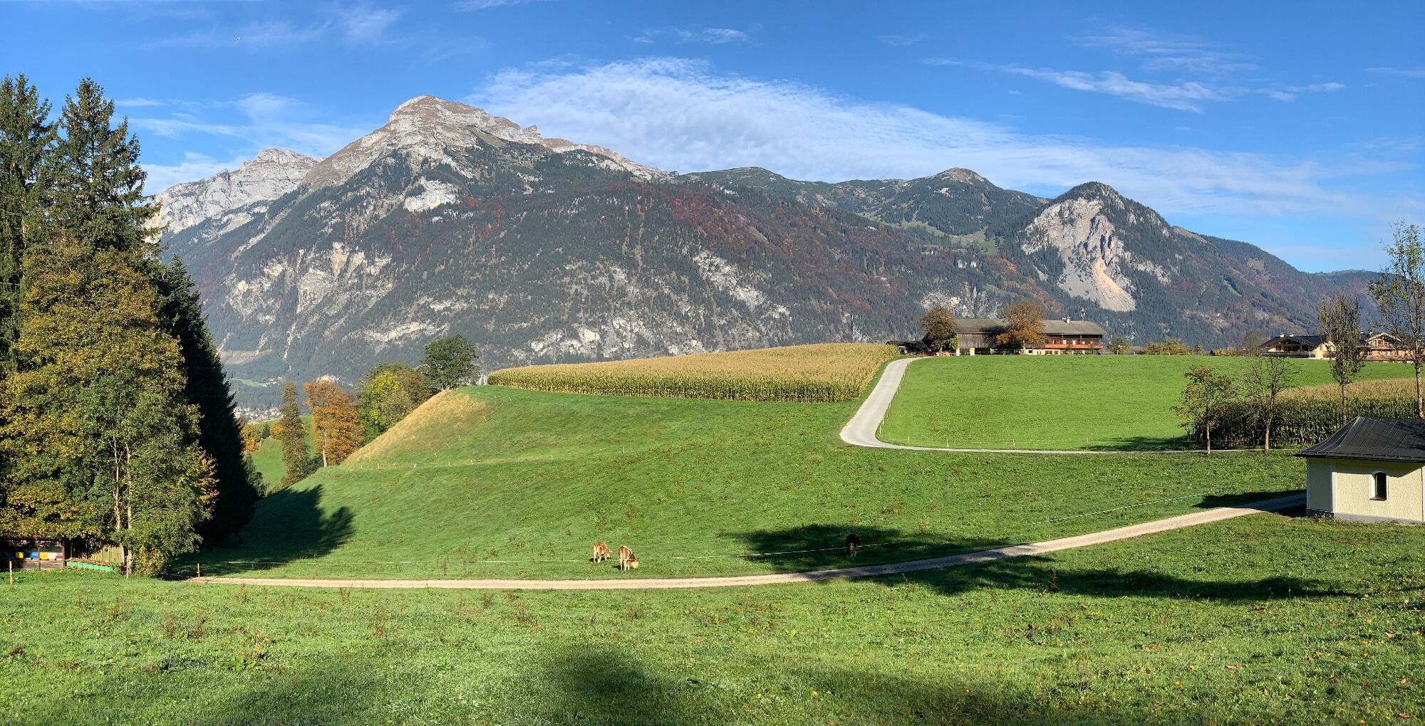
© Alpbachtal Tourismus - Manuel Hufnagel

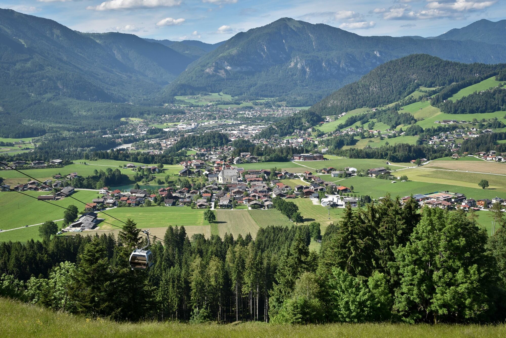
© Alpbachtal Tourismus - Gabriele Grießenböck

© Outdooractive – 3D Videos

© Alpbachtal Tourismus
© Alpbachtal Tourismus

- Breve descripción
-
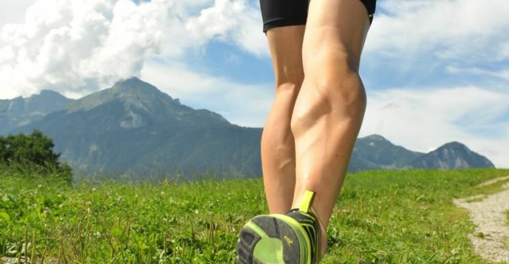
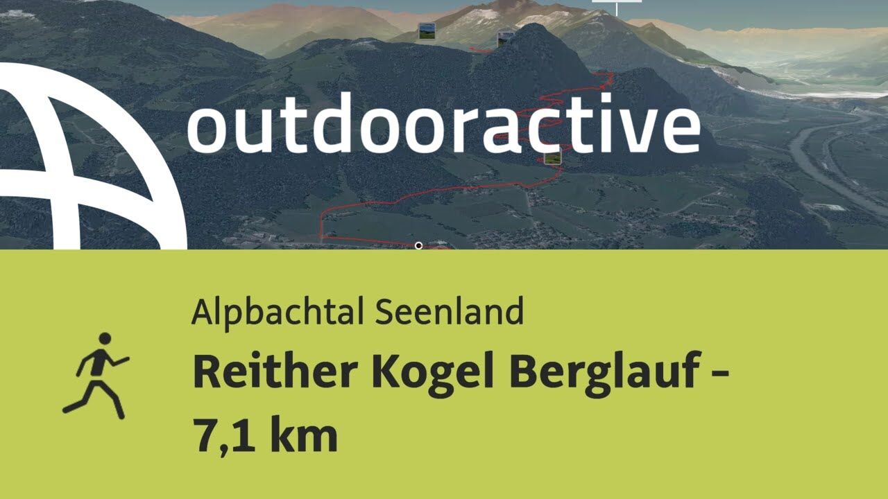
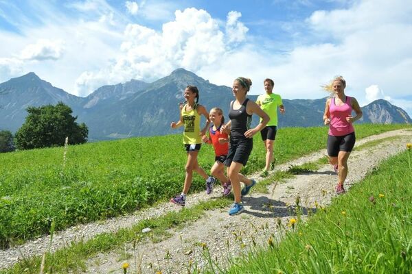
Demanding running trail in Reith.
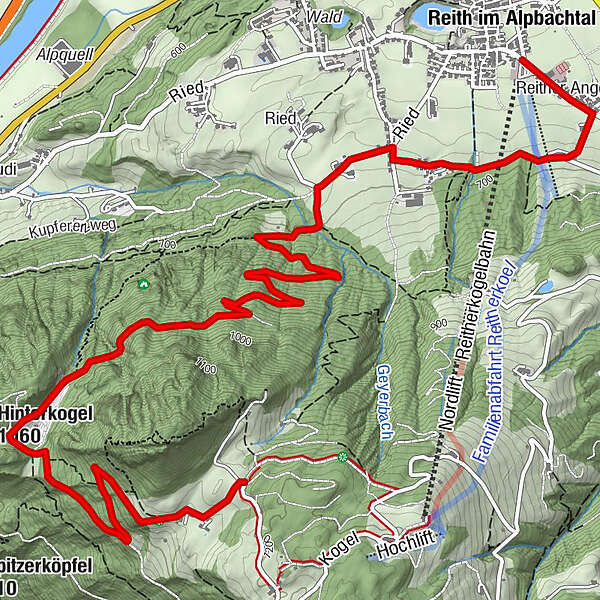
The start and finish for all 3 trails is at the Reitherkogelbahn car park. The initial section of the trail leads towards Alpbach. After approx. 300 m at the first marker turn right and follow the trail to the Hub-chapel. All three trails share the initial 1,8 km to the Hub-chapel, from this point the routes branch out in their respective direction.
- Dificultad
-
difícil
- Valoración
-
- Ruta
-
Reith im Alpbachtal (638 m)Reither Anger (659 m)0,3 kmHub Kapelle1,8 kmAussichtspunkt Hinterkogel6,7 km
- La mejor temporada
-
enefebmarabrmayjunjulagosepoctnovdic
- Punto álgido
- 1.165 m
- Punto final
-
Reitherkogelbahn car park, Reith
- Perfil alto
-


- Autor
-
La gira Reither Kogel mountain trail - 7,1 km es utilizado por outdooractive.com proporcionado.
GPS Downloads


Información general
Vistas panorámicas
Más circuitos por las regiones


Sportalpen Marketing")