© C.Jorda
Datos del tour
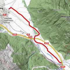
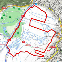
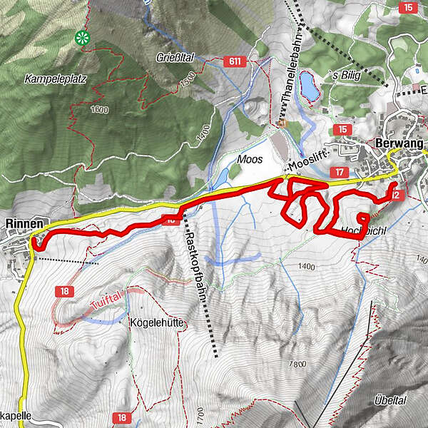
5,7km
1.320
- 1.396m
127hm
42hm
01:30h
- Breve descripción
-
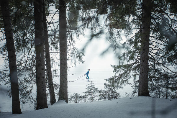
Mid-grade cross-country ski track from Berwang to Rinnen
- Dificultad
-
medio
- Valoración
-
- Punto de salida
-
Berwang - Hochbichl next to the church Berwang
or lift station Panoramabahn Rastkopf or in Rinnen - Ruta
-
Kirche BerwangBerwang (1.342 m)Hochbichl0,9 kmRastkopfbahn3,5 kmRinnen4,8 km
- La mejor temporada
-
agosepoctnovdicenefebmarabrmayjunjul
- Punto álgido
- 1.396 m
- Material cartográfico
-
maps.zugspitzarena.com
Karte "Loipen und Winterwanderwege" im Tourismusbüro Berwang erhältlich.
- Fuente
- Tiroler Zugspitz Arena - Büro Berwang
GPS Downloads

Más circuitos por las regiones