ORTOVOX Tourentipp: Watzespitze Ostgrat

Excursión de alta montaña
© Felix Oehl - Kathrin Endrös
© Felix Oehl - Kathrin Endrös
© Felix Oehl - Kathrin Endrös

- Breve descripción
-
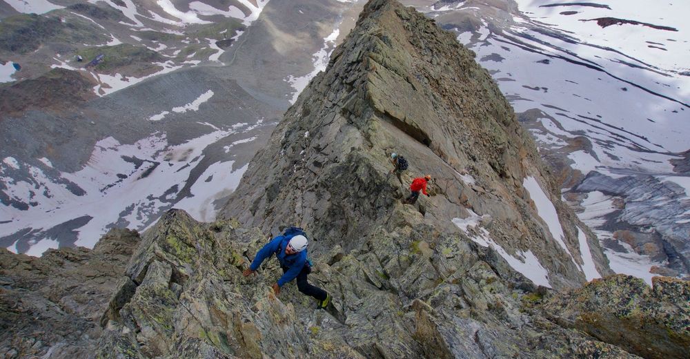
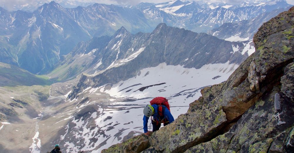
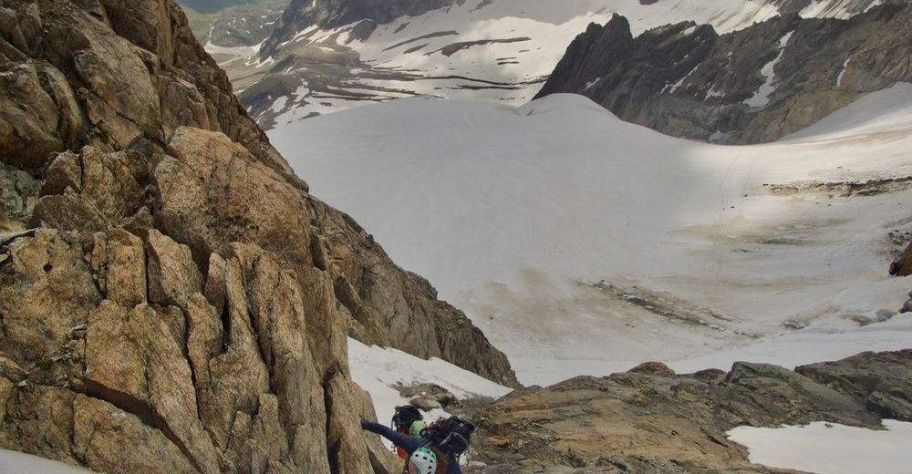
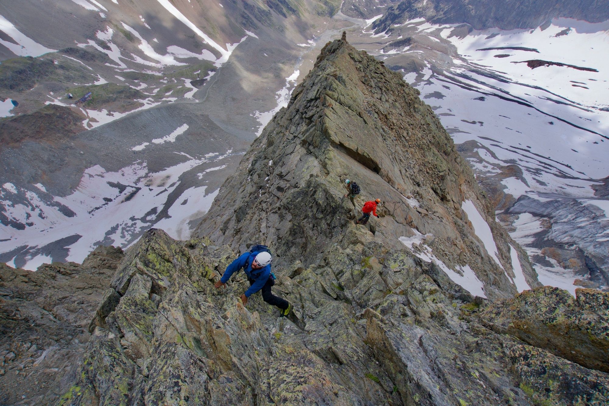
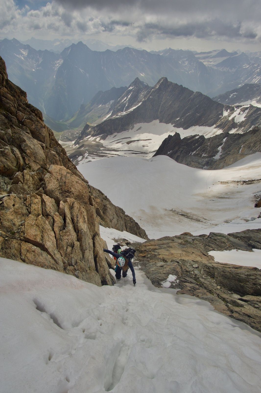
Der Ostgrat der Watzespitze bietet eine leichte, jedoch abenteuerliche Kletterei in beeindruckendem Ambiente.
- Dificultad
-
difícil
- Valoración
-
- Ruta
-
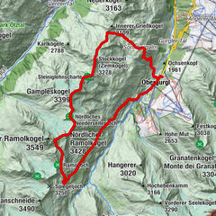
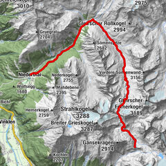
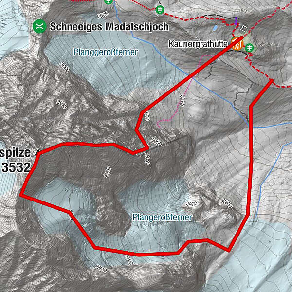
Winterraum0,0 kmKaunergrathütte0,0 kmWatzespitze (3.532 m)1,3 km
- La mejor temporada
-
enefebmarabrmayjunjulagosepoctnovdic
- Punto álgido
- 3.513 m
- Punto final
-
Kaunergrathütte
- Perfil alto
-


- Autor
-
La gira ORTOVOX Tourentipp: Watzespitze Ostgrat es utilizado por outdooractive.com proporcionado.
GPS Downloads


Información general
Vistas panorámicas
Más circuitos por las regiones
")