The Eagles´ Trail – From mountain solitude into the town (12)


© Tourismusverband Region Hall-Wattens - Hall Wattens

© DAV Sektion Schwaben - Klaus Berghold

© Michael Kirchmayer
© DAV Sektion Schwaben - Klaus Berghold

© Outdooractive Redaktion - Luigino
© Michael Kirchmayer
- Breve descripción
-
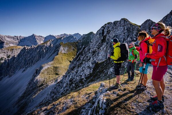
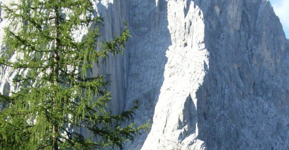
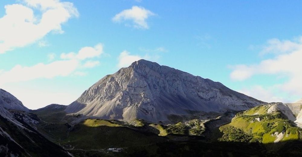
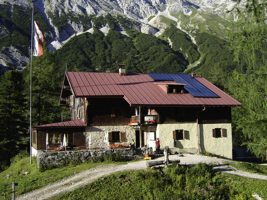
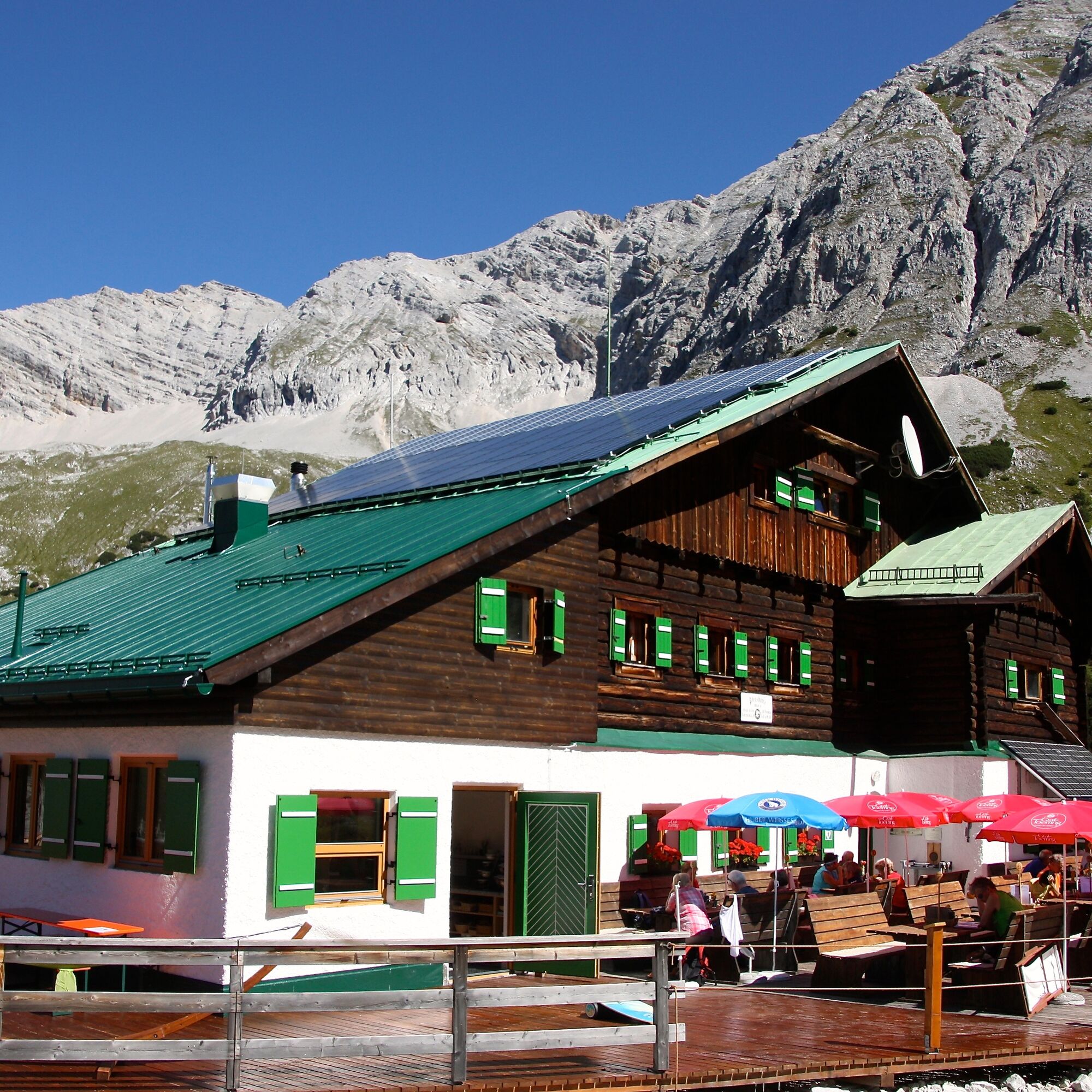
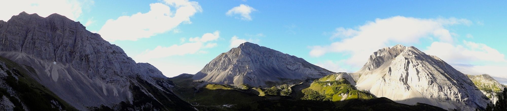
Walkers making this tour need a good head for heights and surefootedness. The route between the Hallerangerhaus and the Hafelekar is characterised by a constant up and down with moderate altitude differences.
- Dificultad
-
difícil
- Valoración
-
- Ruta
-
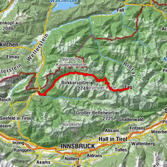
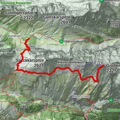
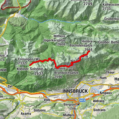
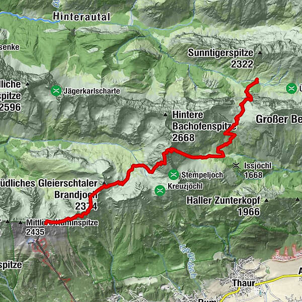
Hauskapelle0,0 kmHallerangerhaus0,3 kmDurchschlag1,1 kmKohlstatt (1.978 m)3,0 kmHalltaler Pfeis5,5 kmNotraum8,9 kmPfeishütte9,0 kmHafelekarspitze (2.334 m)13,4 kmKarstube13,7 km
- La mejor temporada
-
enefebmarabrmayjunjulagosepoctnovdic
- Punto álgido
- 2.491 m
- Punto final
-
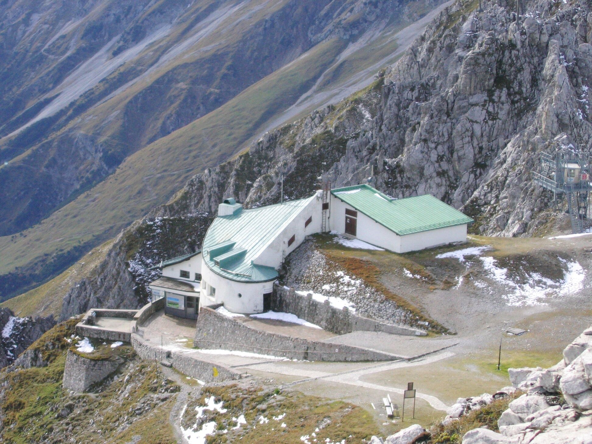
Hafelekar Innsbruck
- Perfil alto
-

-

-
AutorLa gira The Eagles´ Trail – From mountain solitude into the town (12) es utilizado por outdooractive.com proporcionado.
GPS Downloads


Información general
Punto de avituallamiento
Vistas panorámicas
Más circuitos por las regiones