The Eagles' Way (Adlerweg) – Alpine Roses, Stone Pines, Nutcrackers


© Tourismusverband Region Hall-Wattens - Hall Wattens

© Tourismusverband Region Hall-Wattens - www.hall-wattens.at

© Tourismusverband Region Hall-Wattens - Hall Wattens

© Tourismusverband Region Hall-Wattens - Hall Wattens

© Tourismusverband Region Hall-Wattens - Hall Wattens
- Breve descripción
-
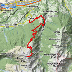
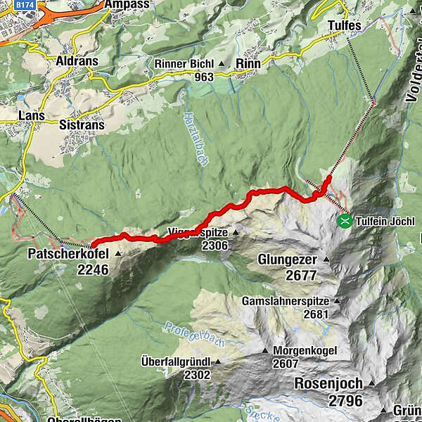
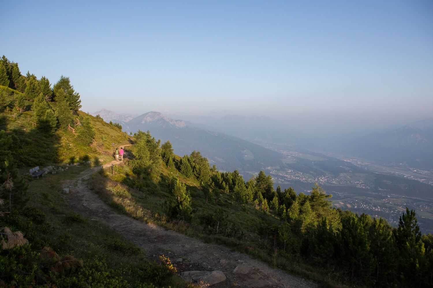
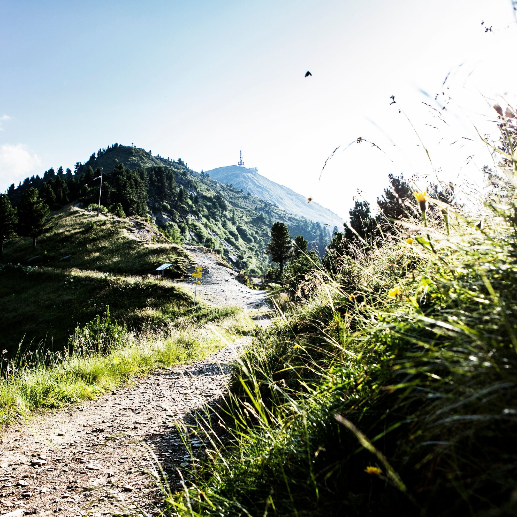
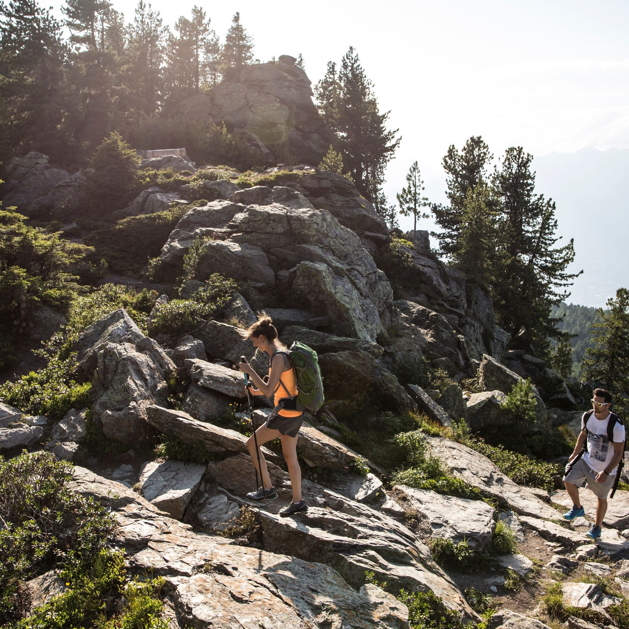
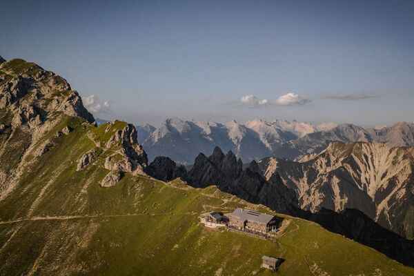
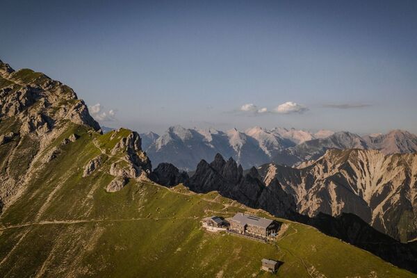
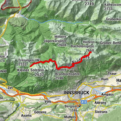
From the Patscherkofel to Tulfes via the Stone Pine Path.
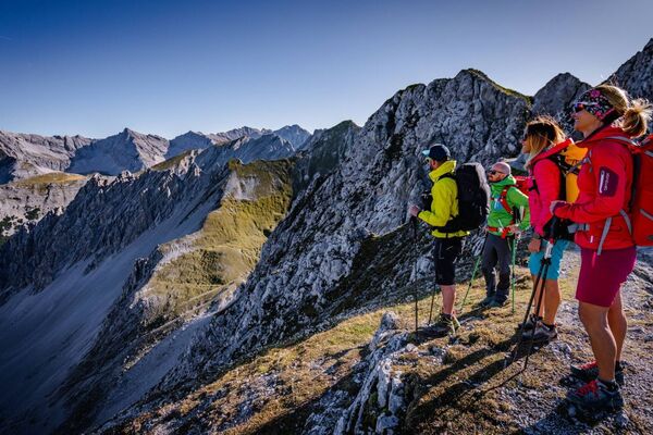
Famous, popular, much-travelled and yet every time an uplifting experience! The Stone Pine Path above Innsbruck runs from the Patscherkofel mountain station as for as the Tulfeinalm (near Tulfes).
- Dificultad
-
medio
- Valoración
-
- Ruta
-
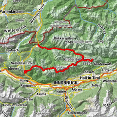
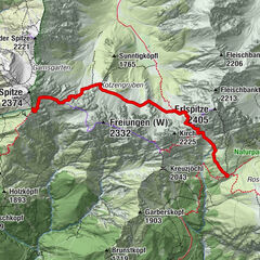
Patscherkofel Schutzhaus0,0 kmBoscheben2,2 kmKapelle zum guten Hirten7,0 kmTulfein Alm7,4 km
- La mejor temporada
-
enefebmarabrmayjunjulagosepoctnovdic
- Punto álgido
- 2.055 m
- Punto final
-
Tulfeinalm
- Perfil alto
-

-

-
AutorLa gira The Eagles' Way (Adlerweg) – Alpine Roses, Stone Pines, Nutcrackers es utilizado por outdooractive.com proporcionado.
GPS Downloads


Información general
Punto de avituallamiento
Flora
Fauna
Vistas panorámicas
Más circuitos por las regiones
, Schlafhütte „TuXer“ (re) und „Base-Camp“")