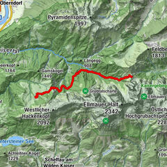
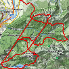
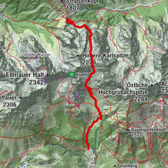
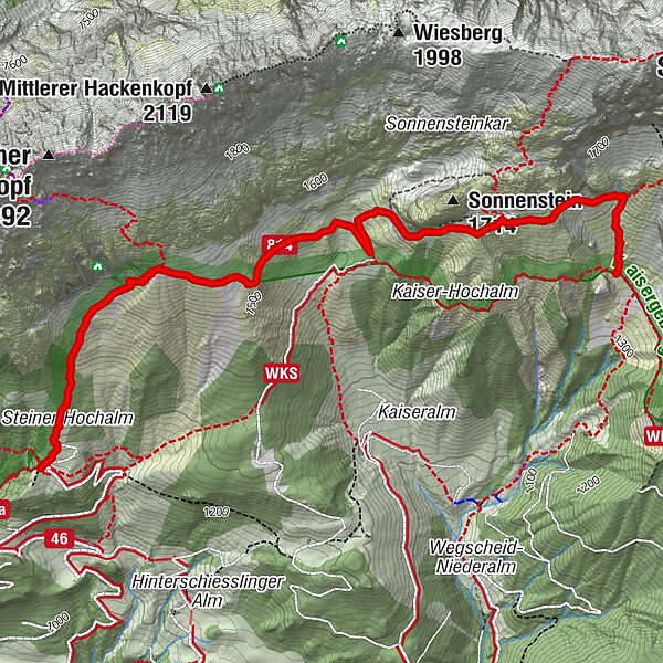
Kaiserkrone - alternative route at the foot of the Sonnenstein


© TVB Wilder Kaiser - TVB Wilder Kaiser/GMedia

© TVB Wilder Kaiser

© TVB Wilder Kaiser - TVB Wilder Kaiser/Thomas Hennerbichler

© TVB Wilder Kaiser

- Breve descripción
-
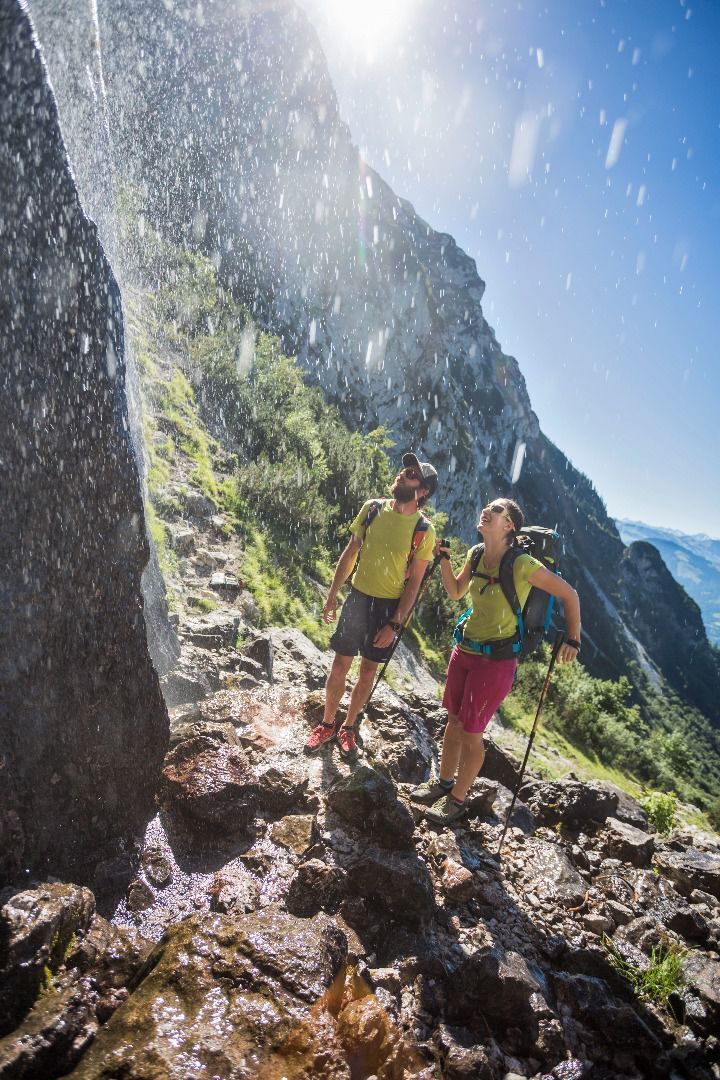
Fork 823/826 – via waterfall – Veitskirche – Steiner-Hochalm
- Dificultad
-
medio
- Valoración
-
- Ruta
-
Steiner Hochalm3,8 km
- La mejor temporada
-
enefebmarabrmayjunjulagosepoctnovdic
- Punto álgido
- 1.590 m
- Punto final
-
Steiner-Hochalm, Scheffau (1,257 m)
- Perfil alto
-


- Autor
-
La gira Kaiserkrone - alternative route at the foot of the Sonnenstein es utilizado por outdooractive.com proporcionado.
GPS Downloads


Información general
Flora
Fauna
Vistas panorámicas
Más circuitos por las regiones
-
Wilder Kaiser
1945
-
Scheffau am Wilden Kaiser
614