Hike: Nigerpass – Hagner Alm – Schiller Hof

Senderismo

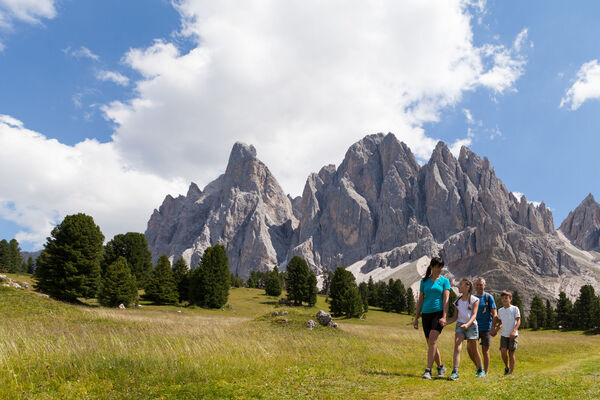
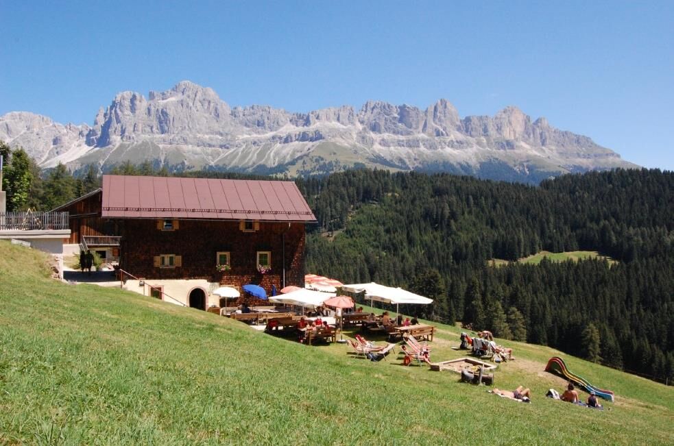
© Eggental - Deutschnofen - Obereggen - Hagner Alm

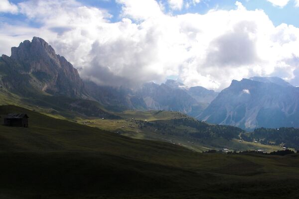
© Eggental - Deutschnofen - Obereggen - Eggental Tourismus
Datos del tour
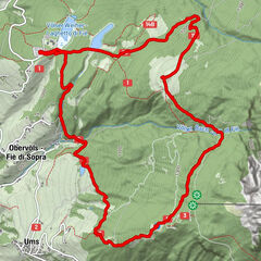
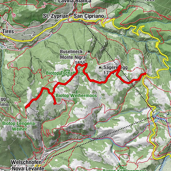
14,17km
1.557
- 1.690m
178hm
184hm
03:53h
- Dificultad
-
fácil
- Valoración
-
- Ruta
-
Niger Joch0,0 kmHagner Alm5,4 kmSchillerhof7,3 kmNiger Joch14,1 km
- La mejor temporada
-
enefebmarabrmayjunjulagosepoctnovdic
- Punto álgido
- 1.690 m
- Perfil alto
-
 © outdooractive.com

- Autor
-
Eggental - Deutschnofen - ObereggenLa gira Hike: Nigerpass – Hagner Alm – Schiller Hof es utilizado por outdooractive.com proporcionado.
GPS Downloads


Más circuitos por las regiones
-
Bozen und Umgebung - Südtirols Süden
1947
-
Eggental
1065
-
Welschnofen Karersee
410