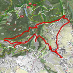
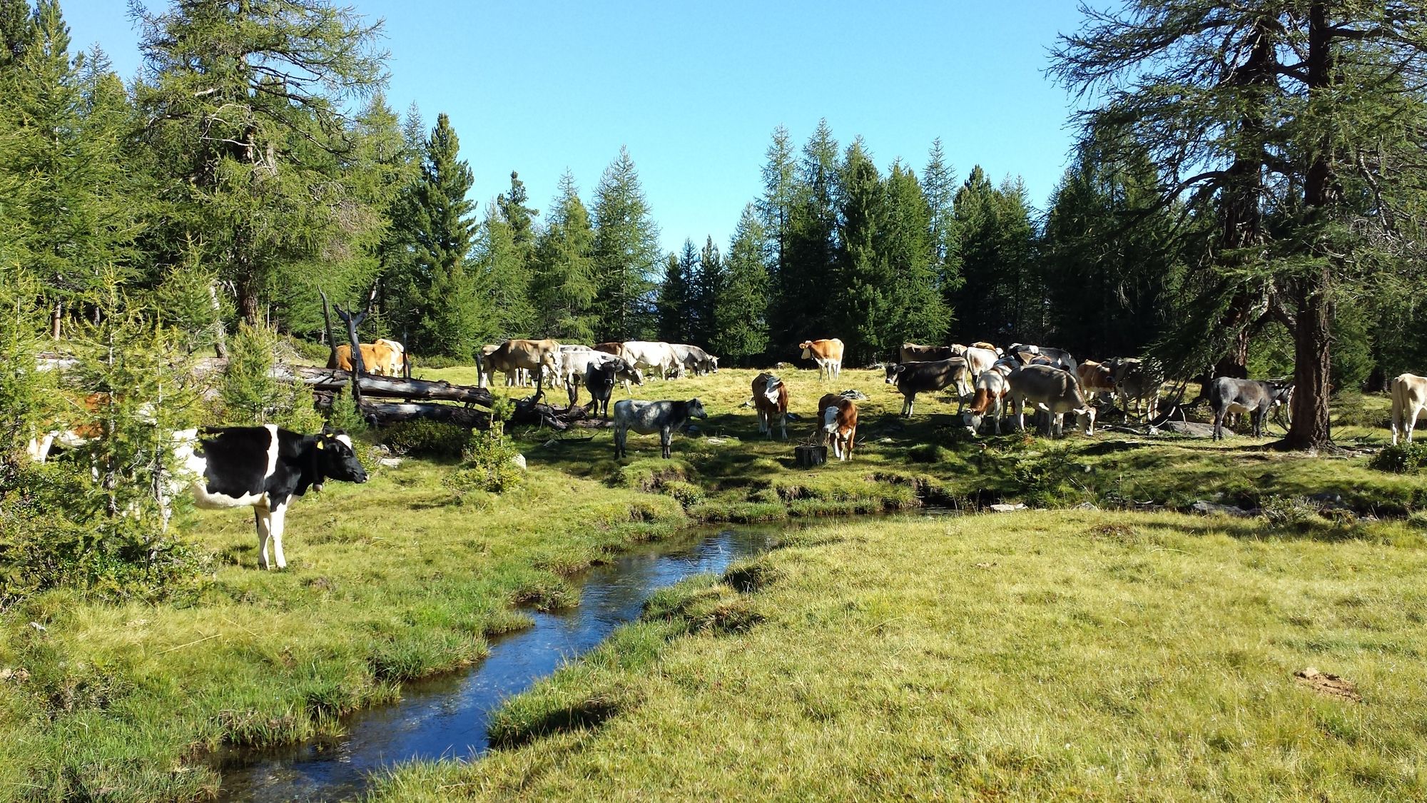
Three-mountain hut hike at Monte Tramontana

Senderismo

Datos del tour
10,37km
1.411
- 2.153m
750hm
749hm
02:35h
- Dificultad
-
medio
- Valoración
-
- Ruta
-
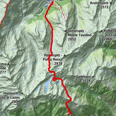
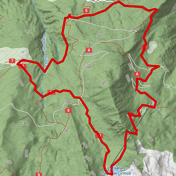
Schartegg0,1 kmTomberger Alm2,1 kmZirmtalalm4,1 kmMarzoner Alm7,2 kmSchartegg10,2 km
- La mejor temporada
-
enefebmarabrmayjunjulagosepoctnovdic
- Punto álgido
- 2.153 m
GPS Downloads


Más circuitos por las regiones
-
Vinschgau
1291
-
Kastelbell - Tschars
583
-
Kastelbell
88