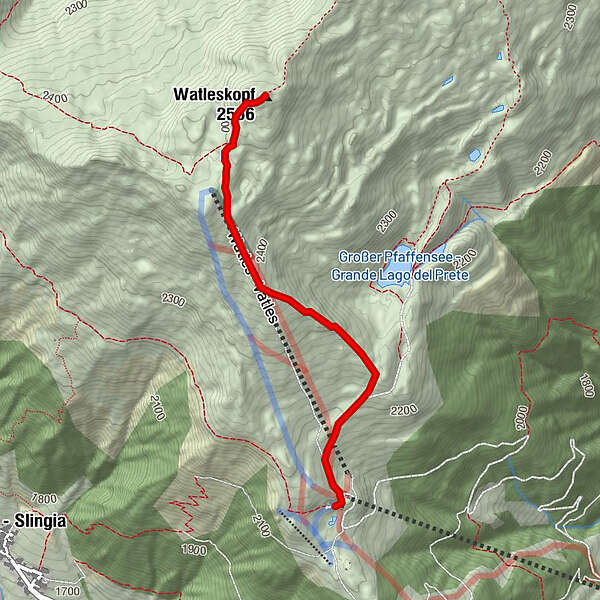
Easy hiking rout to the top of the Watles Moutain (2.550 m)

Senderismo


Datos del tour
2,35km
2.142
- 2.534m
382hm
382hm
02:00h
- Breve descripción
-
Hiking tour from the mountain station of the Watles to the top of the mountain
- Dificultad
-
medio
- Valoración
-
- Punto de salida
-
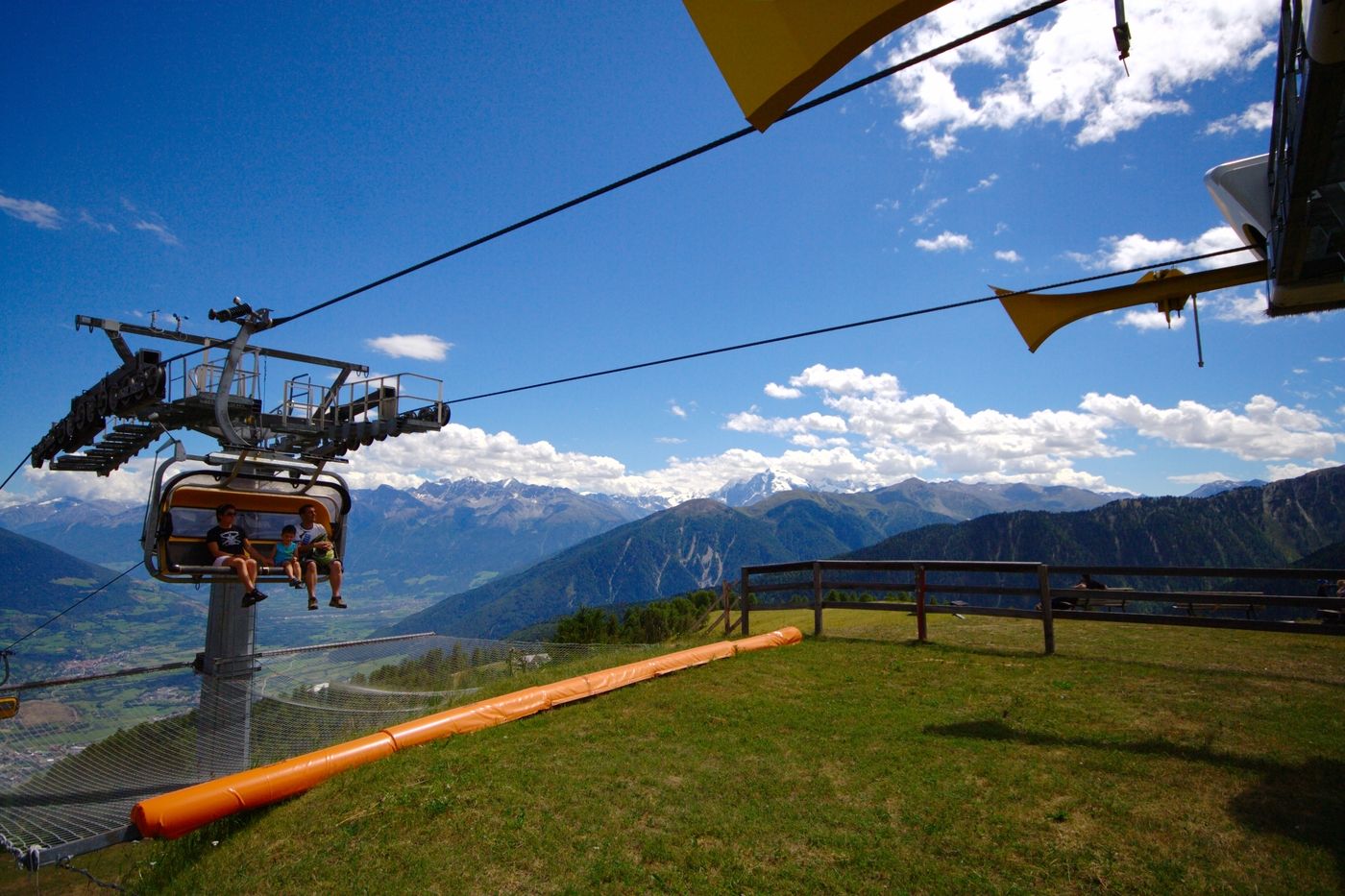
To the mountain station of Watles
- Ruta
-
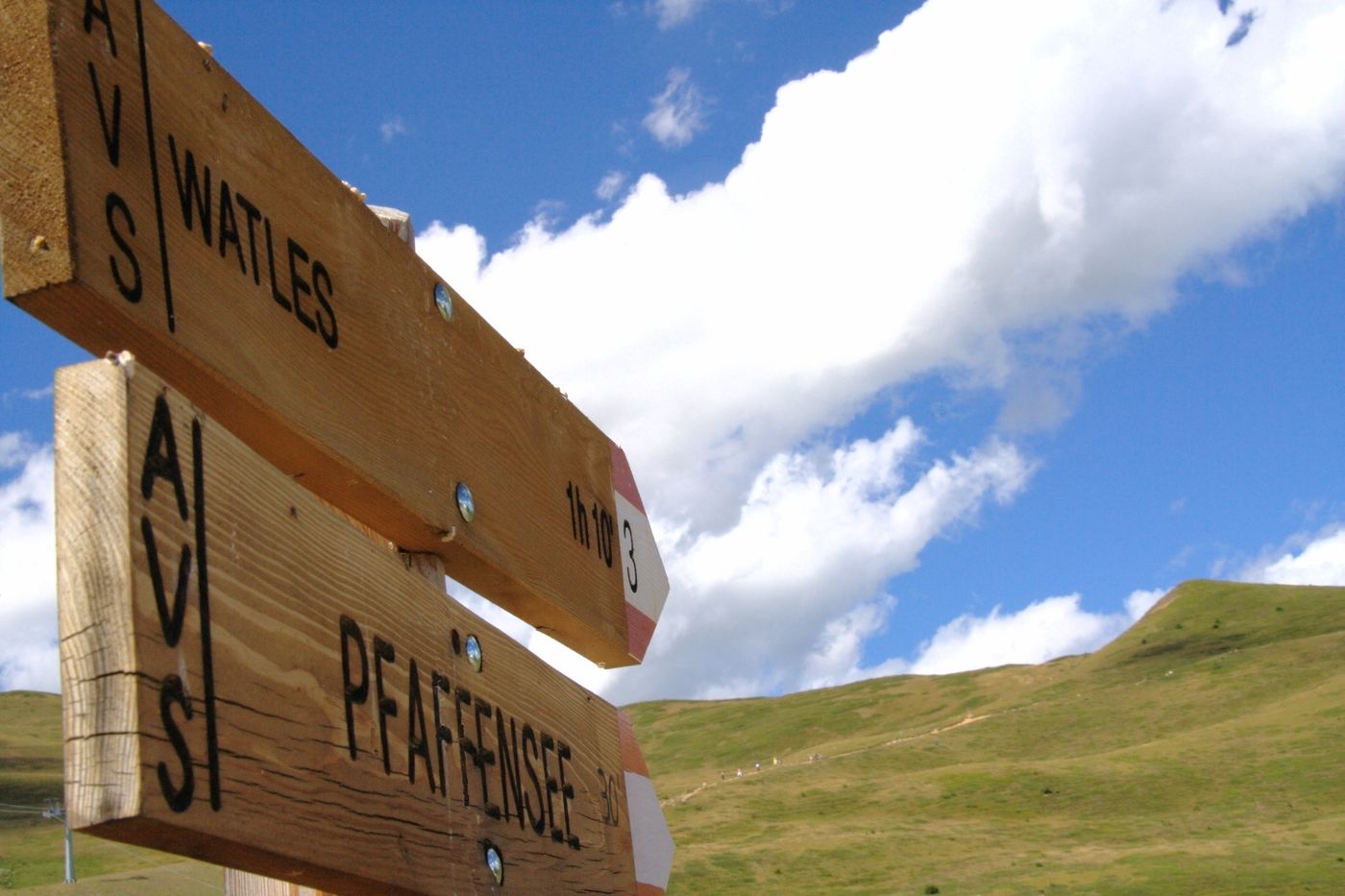
Bergrestaurant Plantapatsch HütteWatles (2.555 m)2,3 km
- La mejor temporada
-
enefebmarabrmayjunjulagosepoctnovdic
- Punto álgido
- 2.534 m
- Punto final
-
To the top of the mountain Watles
- Descanso/Avituallamiento
-
Plantapatschhütte

- Link
- http://watles.net/
GPS Downloads


Superficie de carretera
Asfalto
Gravilla
Pradera
Bosque
Roca
Expuesto
Más circuitos por las regiones
-
Vinschgau
1285
-
Obervinschgau
452
-
Watles
118