Datos del tour
12,47km
1.410
- 2.475m
890hm
1.110hm
04:30h

- Dificultad
-
medio
- Valoración
-
- Punto de salida
-
Bergstation Gitschberg
- Ruta
-
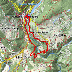
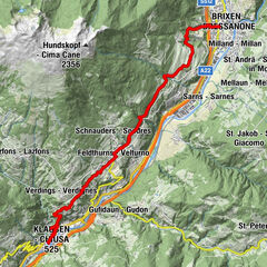
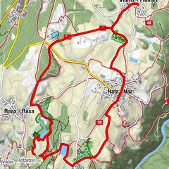
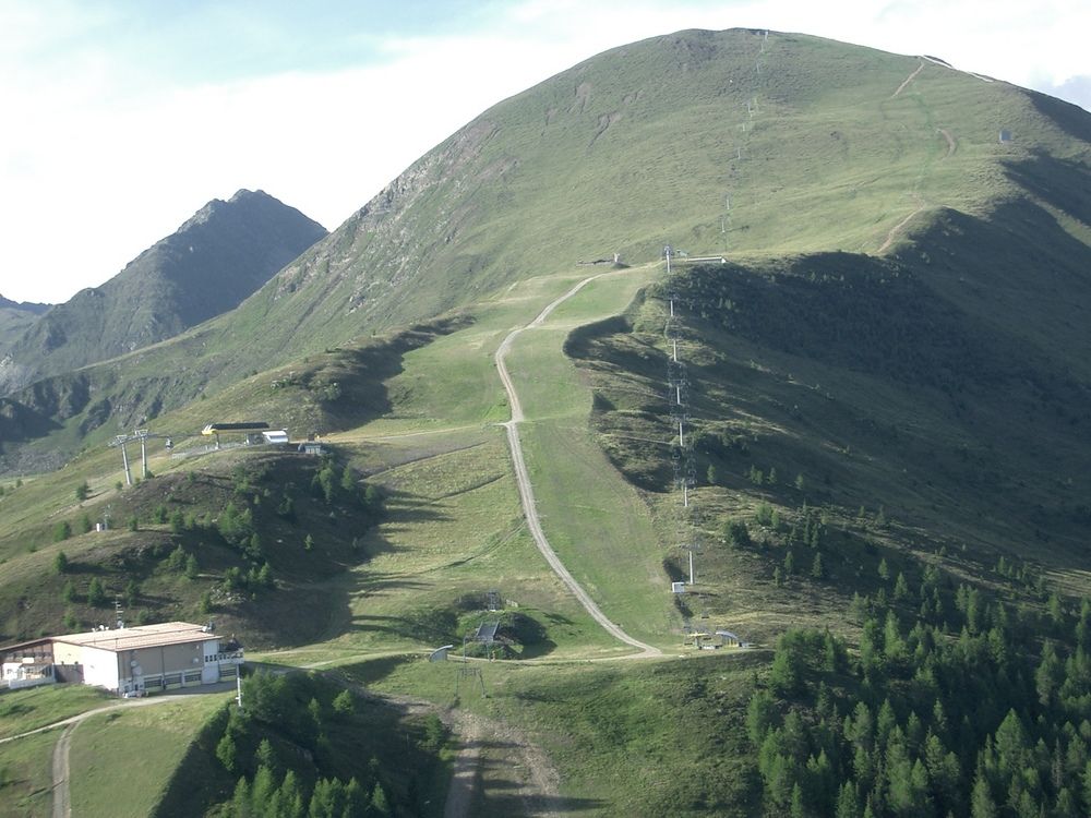
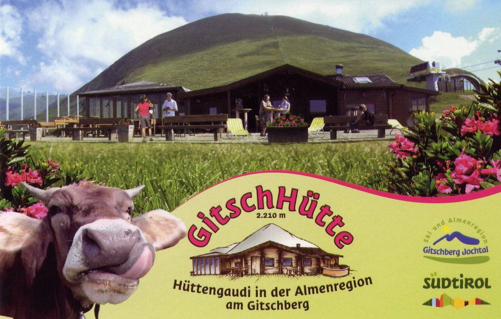
Bergbahn-Nesselbahn0,0 kmPichlerhütte1,2 kmNesselbahn1,7 kmGitsch (2.510 m)3,5 kmBreiteben4,6 kmGitschhütte4,7 kmGitschberg4,8 kmOchsenboden6,0 kmZasslerhütte7,2 kmPichlerhütte (1.918 m)7,9 kmPichlerhütte8,0 kmEndereggen (1.395 m)11,1 kmS'Pfandl12,4 kmMittereggen12,4 km
- La mejor temporada
-
enefebmarabrmayjunjulagosepoctnovdic
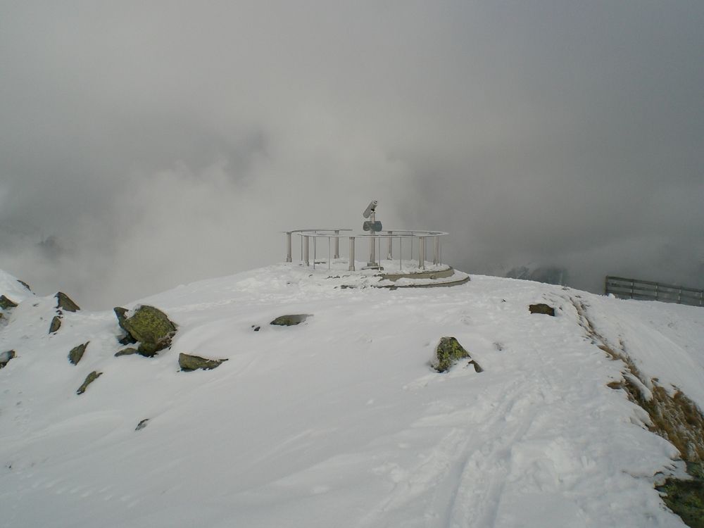
- Punto álgido
- 2.475 m
- Descanso/Avituallamiento
-
Gitschhütte Tel. 0472 520347
GPS Downloads


Más circuitos por las regiones
-
Brixen und Umgebung
1976
-
Gitschberg - Jochtal
672
-
Meransen
156