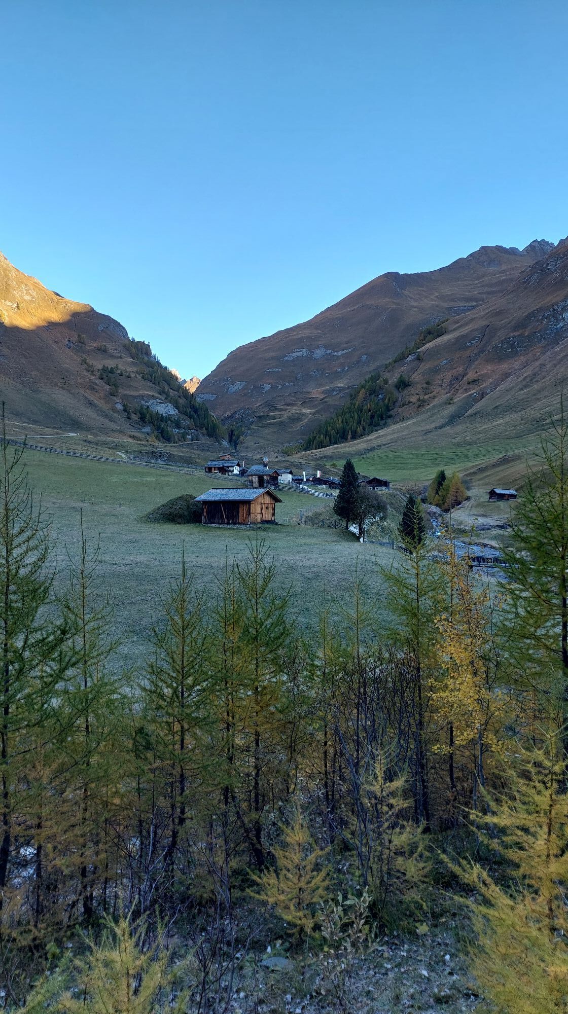
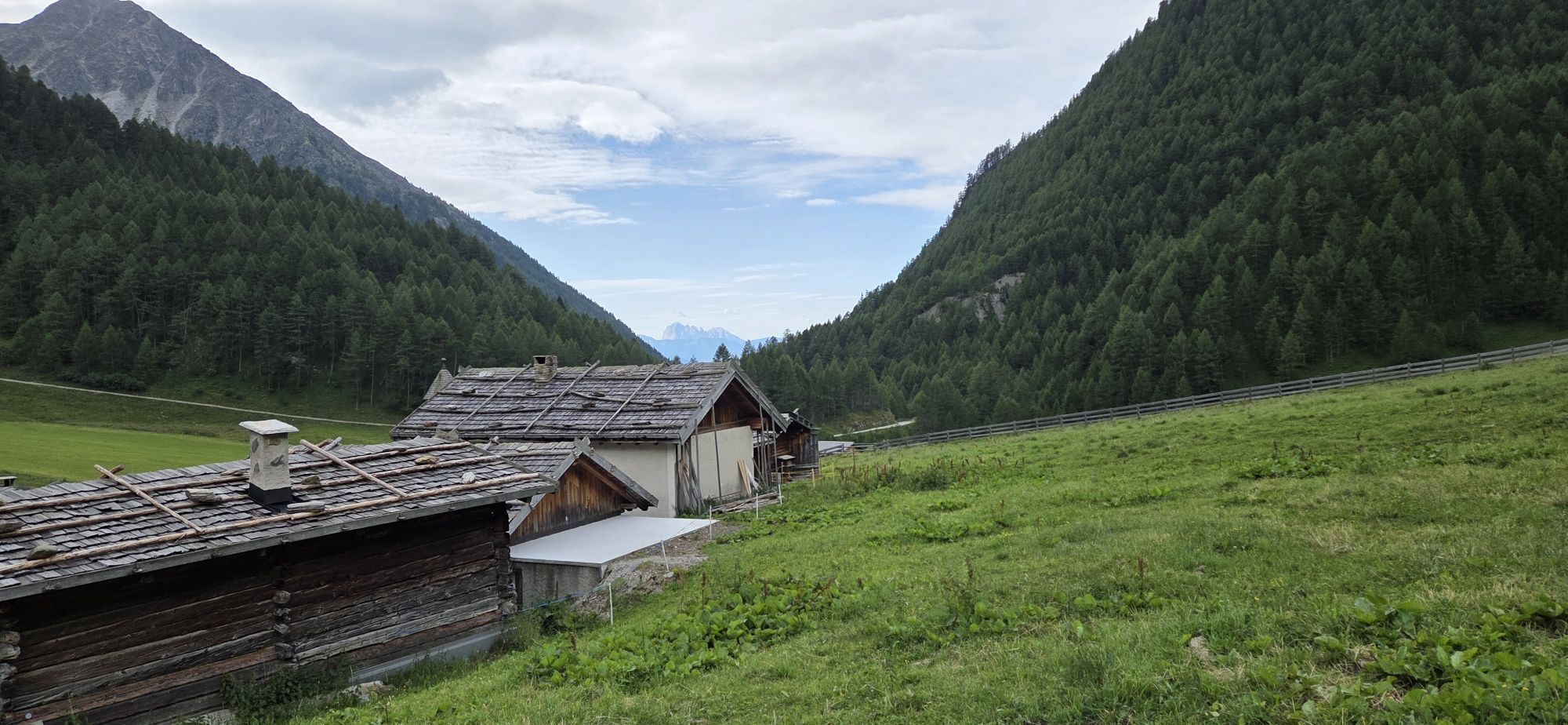
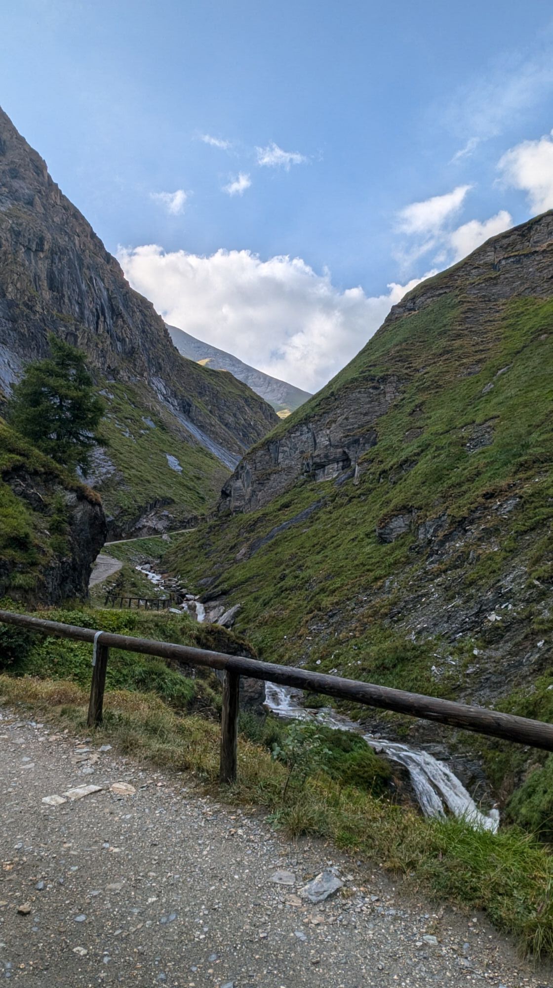
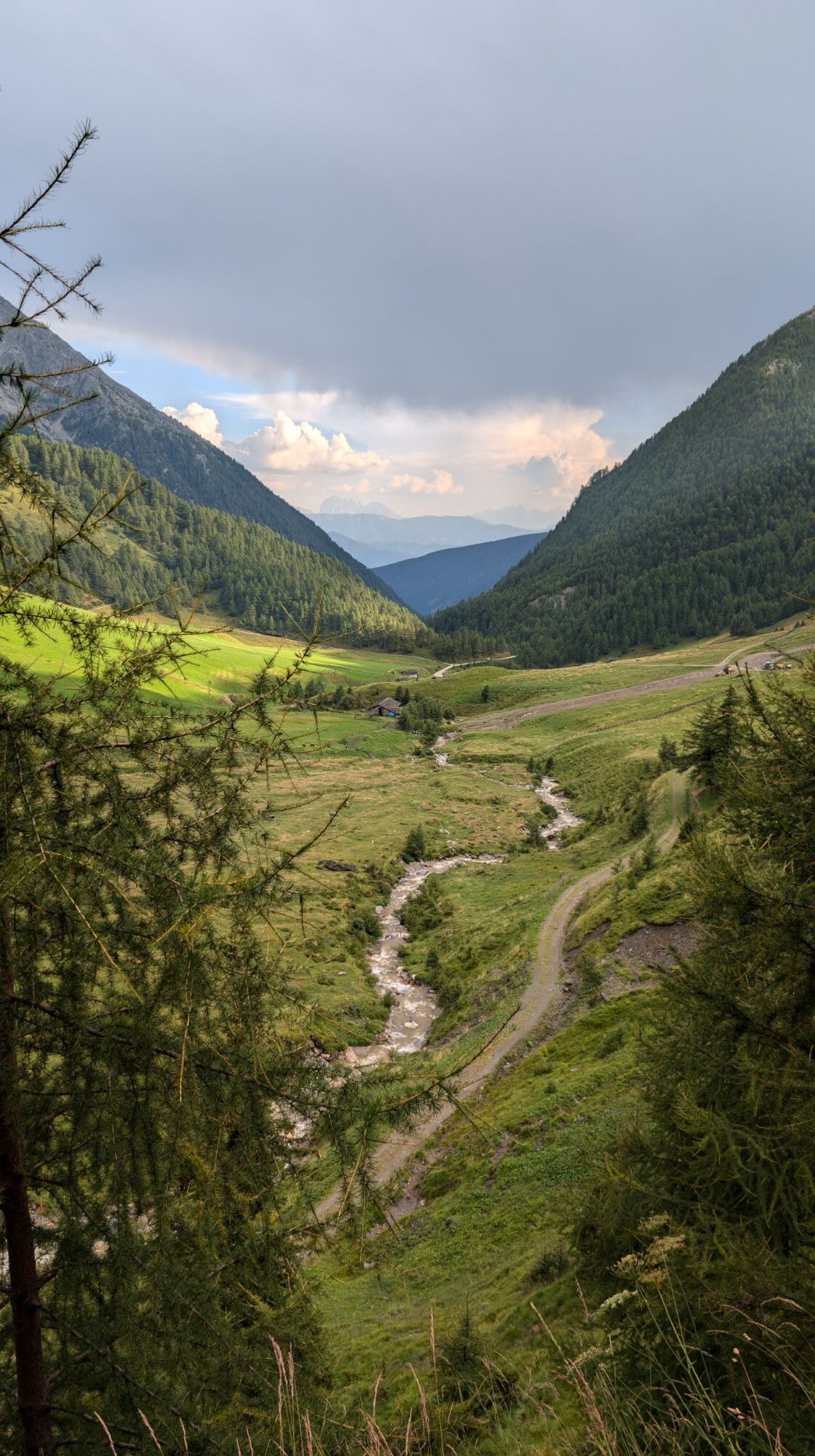
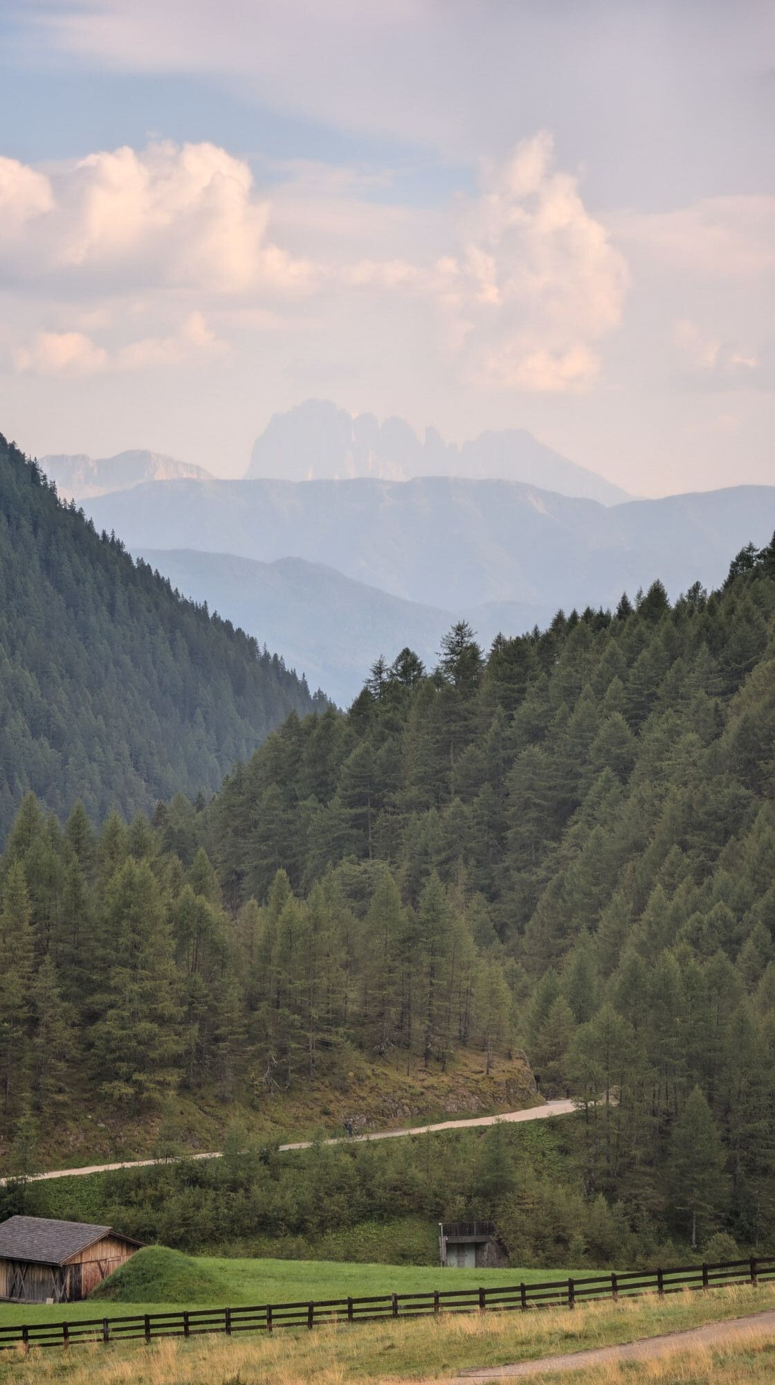
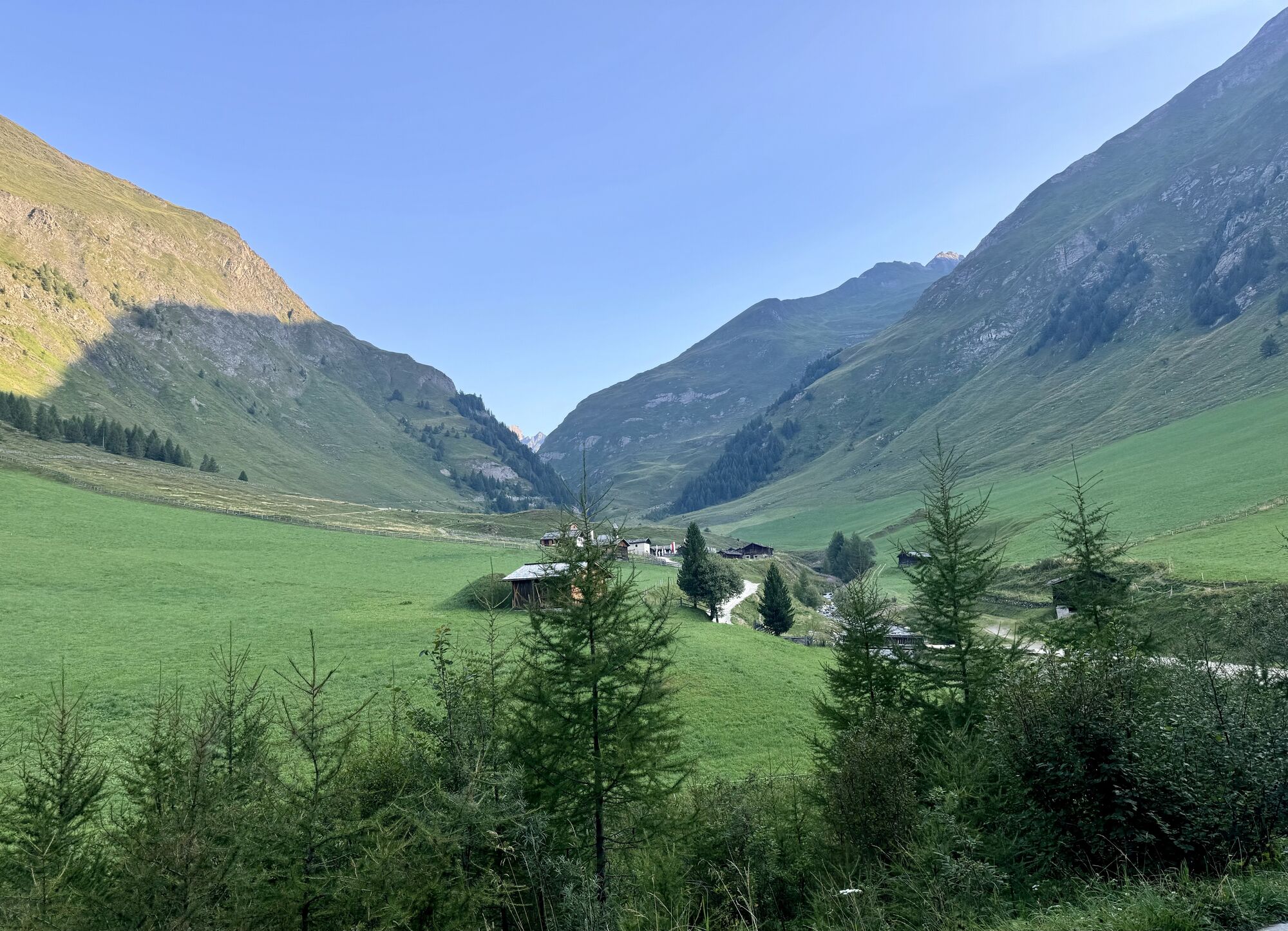
Vals - Valles - Kurzkofelhütte - Jausenstation Zingerlehütte - Fanekapelle
pesado
Consigue este tour en tu móvil
Vals - Valles - Kurzkofelhütte - Jausenstation Zingerlehütte - Fanekapelle
pesado
Ciclismo
14,97
km
Escanee el código QR e inicie la navegación en la aplicación bergfex

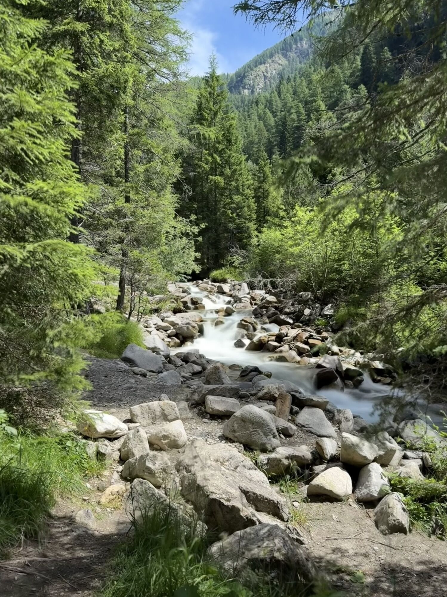
Senderismo y rastreo


Vals - Valles - Kurzkofelhütte - Jausenstation Zingerlehütte - Fanekapelle
pesado
Distancia
14,97
km
Duración
02:40
h
Ascenso
699
m
Nivel del mar
1.371 -
1.943
m
Descarga de pistas
Vals - Valles - Kurzkofelhütte - Jausenstation Zingerlehütte - Fanekapelle
pesado
Ciclismo
14,97
km
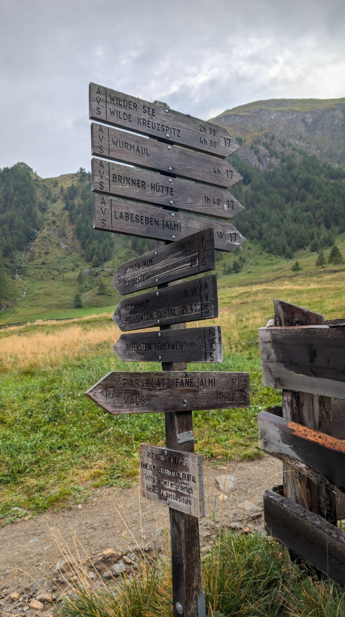
Ruta
Vals - Valles
(1.353 m)
Pueblo
0,1 km
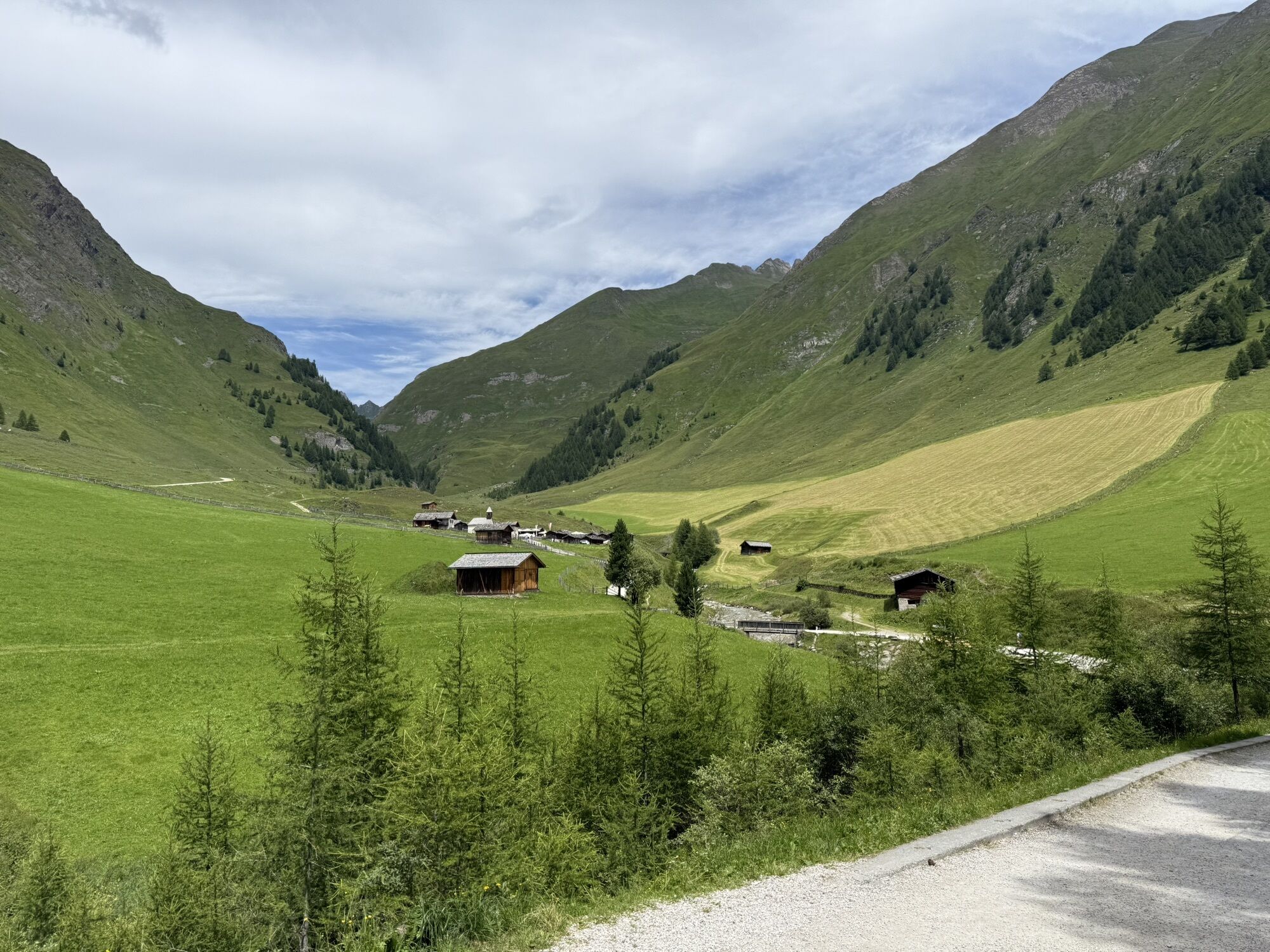
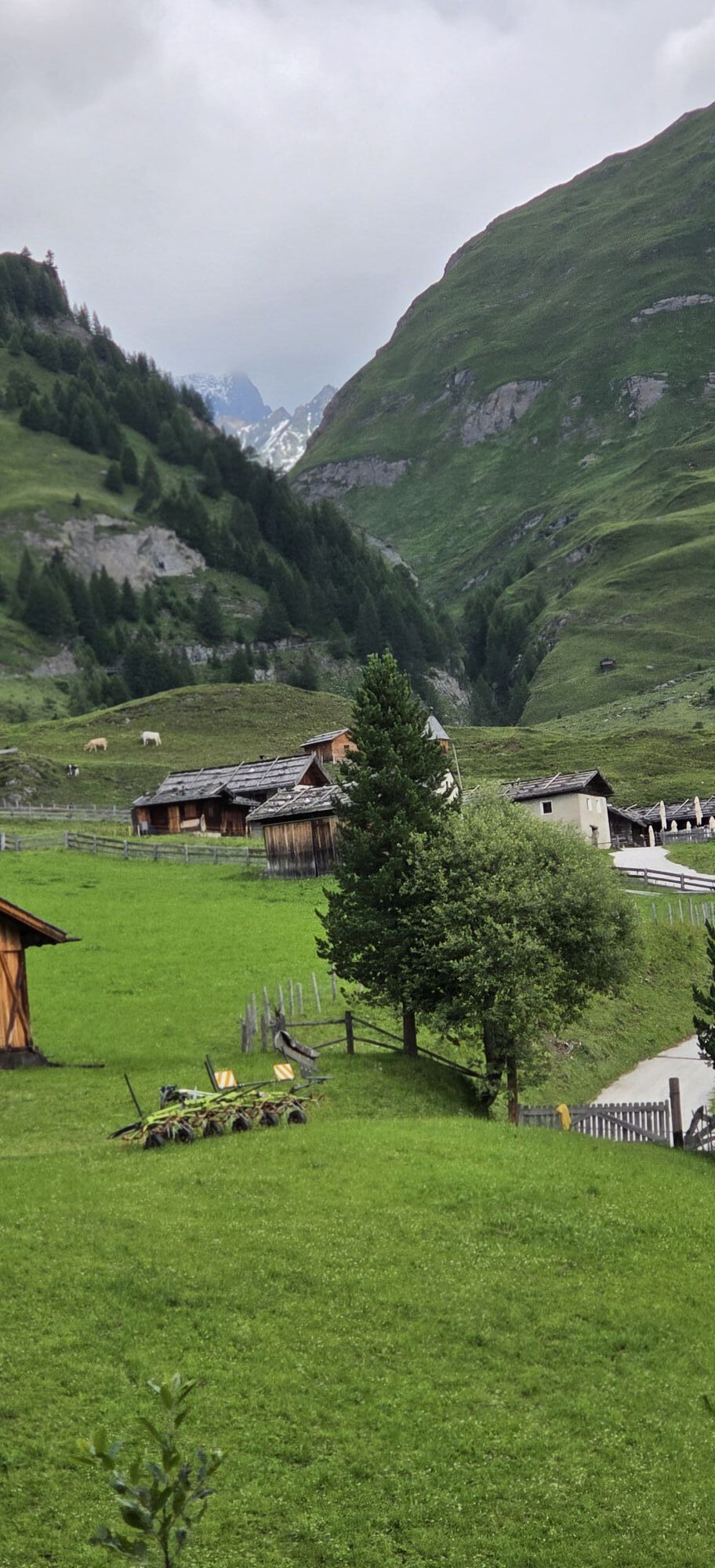
Fanekapelle
(1.740 m)
Lugar de culto
5,7 km
Fane Alm - Malga Fane
(1.739 m)
Corredor/terreno
5,8 km
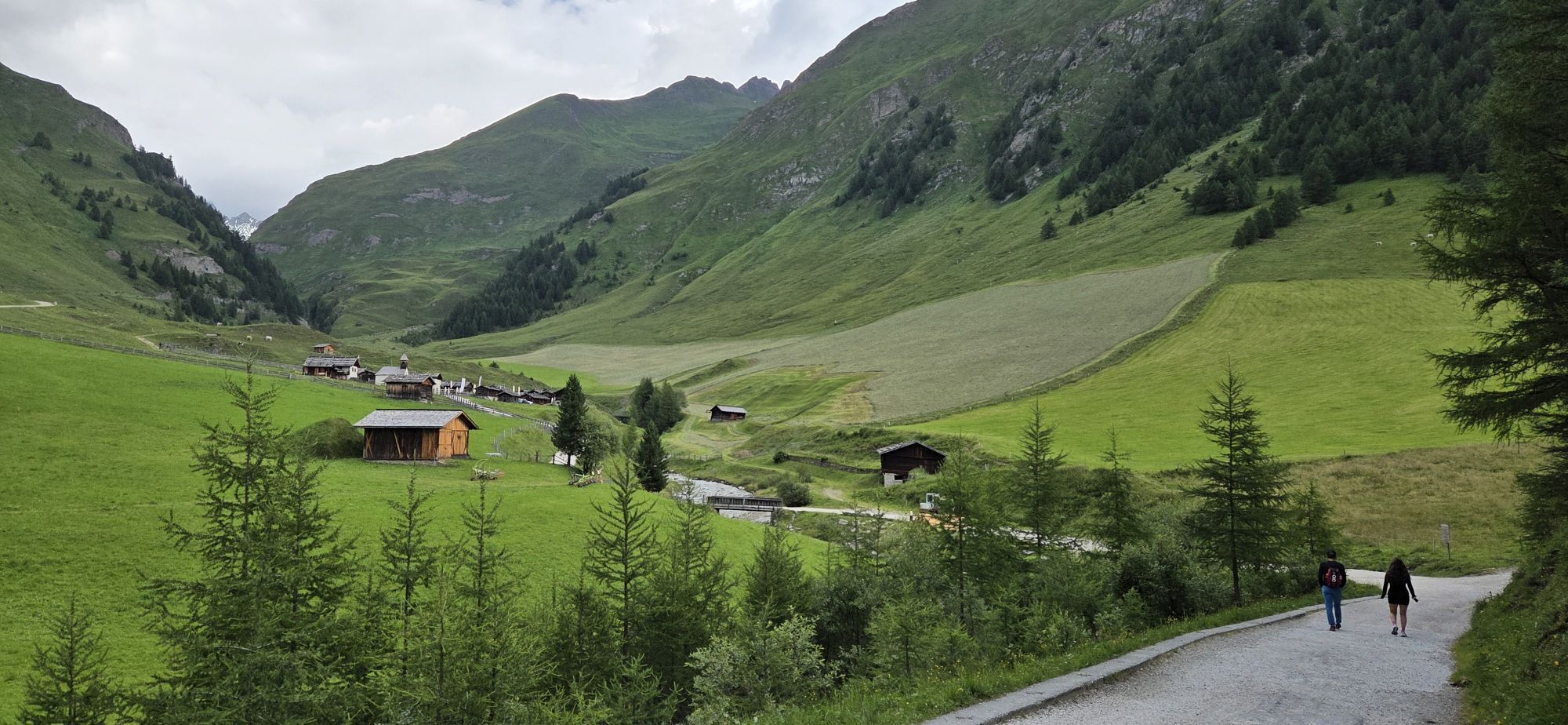
Jausenstation Zingerlehütte
(1.742 m)
Restaurante
5,8 km
Kuttnhütte
(1.747 m)
Restaurante
5,8 km
Fanekapelle
(1.740 m)
Lugar de culto
9,1 km
Vals - Valles
(1.353 m)
Pueblo
14,8 km
Ruta
Vals - Valles - Kurzkofelhütte - Jausenstation Zingerlehütte - Fanekapelle
pesado
Ciclismo
14,97
km
Vals - Valles
(1.353 m)
Pueblo
0,1 km
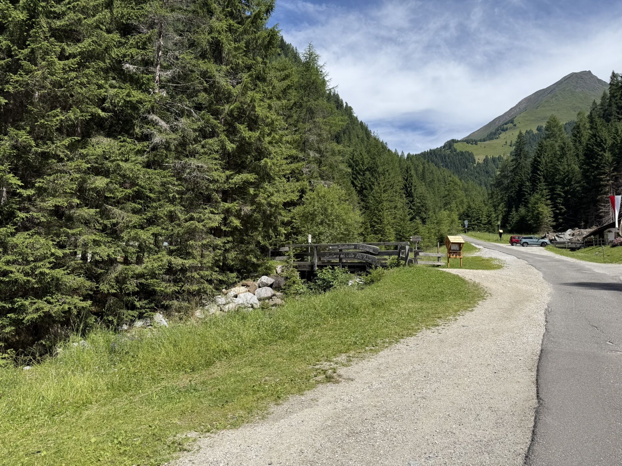
Talstation Schilling - Stazione a valle Schilling
(1.371 m)
Estación de góndola
1,2 km
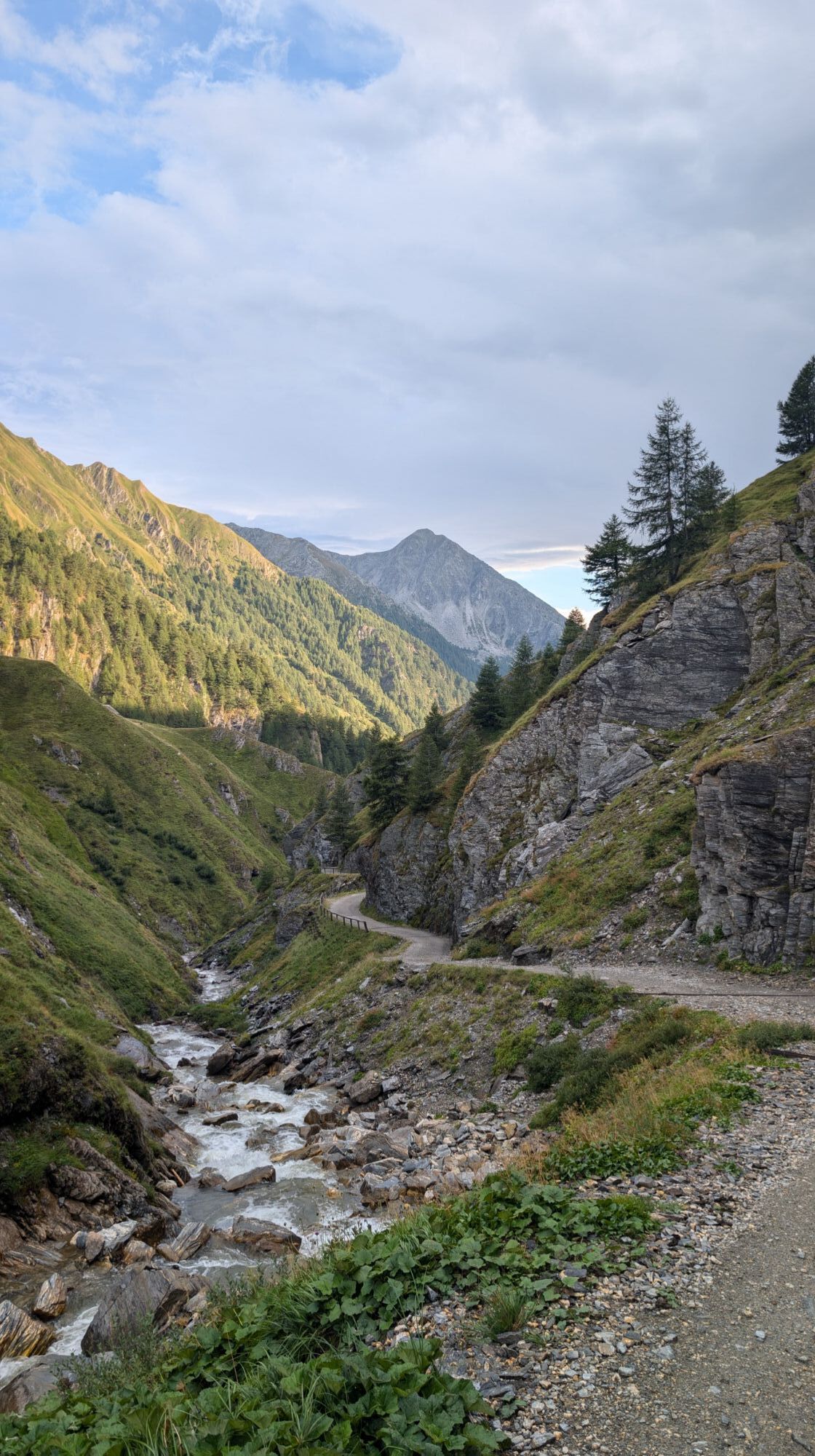
Kurzkofelhütte
(1.425 m)
Restaurante
3,1 km
Fanekapelle
(1.740 m)
Lugar de culto
5,7 km
Gattererhütte
(1.739 m)
Restaurante
5,7 km
Fane Alm - Malga Fane
(1.739 m)
Corredor/terreno
5,8 km
Jausenstation Zingerlehütte
(1.742 m)
Restaurante
5,8 km
Kuttnhütte
(1.747 m)
Restaurante
5,8 km
Kuttnhütte
(1.747 m)
Restaurante
9,0 km
Jausenstation Zingerlehütte
(1.742 m)
Restaurante
9,0 km
Fane Alm - Malga Fane
(1.739 m)
Corredor/terreno
9,1 km
Gattererhütte
(1.739 m)
Restaurante
9,1 km
Fanekapelle
(1.740 m)
Lugar de culto
9,1 km
Kurzkofelhütte
(1.425 m)
Restaurante
11,8 km
Alte Mühle
(1.375 m)
Restaurante
13,5 km
Vals - Valles
(1.353 m)
Pueblo
14,8 km
Autor
Proporcionado por Bergfex Tour Generator
Compartir gira
Vals - Valles - Kurzkofelhütte - Jausenstation Zingerlehütte - Fanekapelle
pesado
Ciclismo
14,97
km
Error
Se ha producido un error. Por favor, inténtelo de nuevo.
Aún no hay opiniones
Webcams del recorrido
-
Talstation Bergbahn / Mittereggen
-
Meransen/Mühlbach - Hotel Kristall
-
Hinterberg
-
Gitschberg - Hütte Weit
-
Vals - Familienhotel Huber
-
Meransen Pfeiferhof
-
Meransen - Parkhotel Holzerhof
-
Meransen - Parkhotel Holzerhof
-
Meransen - Oberlechner
-
Tasa Berg / Vals
-
Skiexpress Tal
-
Weitental / Vallarga
-
Gitschberg Skiexpress Tal
-
Meransen
-
Hotel Purvita
-
Steinermandl
-
Nesselbahn
-
Mittelstation Schilling
-
Weitental / Vallarga


Rutas populares en los alrededores
-
4,9
Hochfeiler
medioSenderismo 17,1 km -
4,8
Südtirol
pesadoSenderismo 17,8 km -
4,5
Terenten, Tiefrastensee
luzSenderismo 12,4 km -
4,9
6.Etappe Alpenüberquerung Gmund/Sterzing
pesadoSenderismo de montaña 18,4 km -
4,5
Vals-Fanes Alm- Labesebenalm Wilder See MTB u Hike
medioMountainbike 21,7 km -
4,4
Seefeld See Altfasstal
medioSenderismo 14,3 km -
4,2
Neustift-Brixen Törggele Circuit Trail
luzSenderismo 6,10 km -
3,4
Across the biotopes of the Natz-Schabs apple plateau
luzSenderismo 9,40 km -
5,0
St. Jakob bzw. Kematen im Pfitschtal – Sterzing / Die Alpenüberquerung - Etappe 7
luzSendero de largo recorrido 20,1 km -
3,0
Von der Pertinger Alm zum Terner Joch
medioSenderismo 4,20 km
Senderismo y rastreo

Más de 550.000 sugerencias de excursiones, mapas detallados y un intuitivo planificador de rutas hacen de esta aplicación una herramienta imprescindible para todos los amantes de la naturaleza.

No se pierda las ofertas y la inspiración para sus próximas vacaciones
Suscribirse al boletín de noticias
Error
Se ha producido un error. Por favor, inténtelo de nuevo.
Gracias por inscribirse
Su dirección de correo electrónico se ha añadido a la lista de correo.
Viajes por Europa
Austria
Suiza
Alemania
Italia
Eslovenia
Francia
Países Bajos
Belgium
Polonia
Liechtenstein
República Checa
Slovakia
España
Croacia
Bosnia y Herzegovina
Luxemburgo
Andorra
Portugal
Iceland
United Kingdom
Ireland
Greece
Albania
North Macedonia
Malta
Norway
Montenegro
Moldova
Kosovo
Hungary
San Marino
Romania
Estonia
Latvia
Belarus
Cyprus
Lithuania
Serbia
Bulgaria
Monaco
Denmark
Sweden
Finland