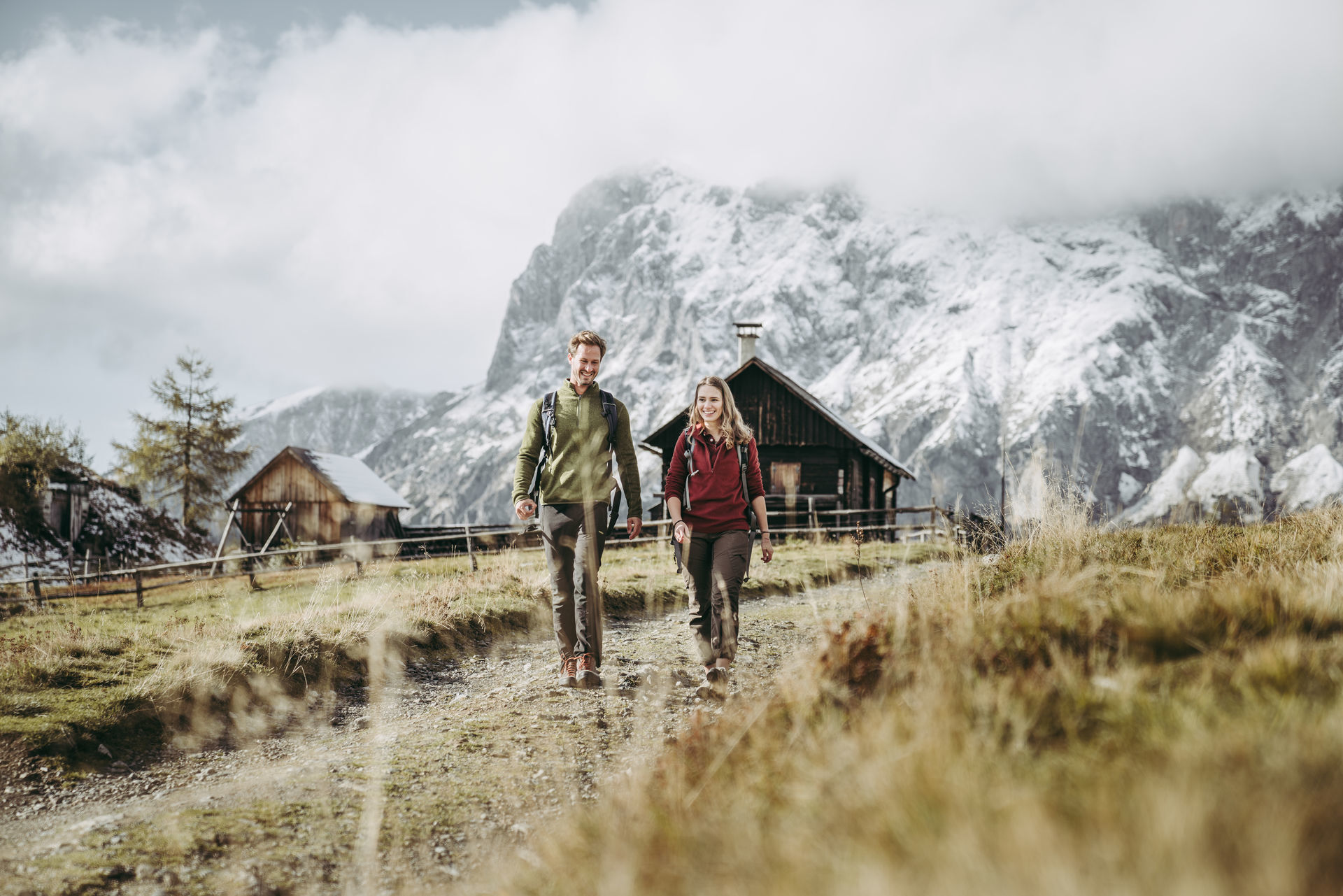
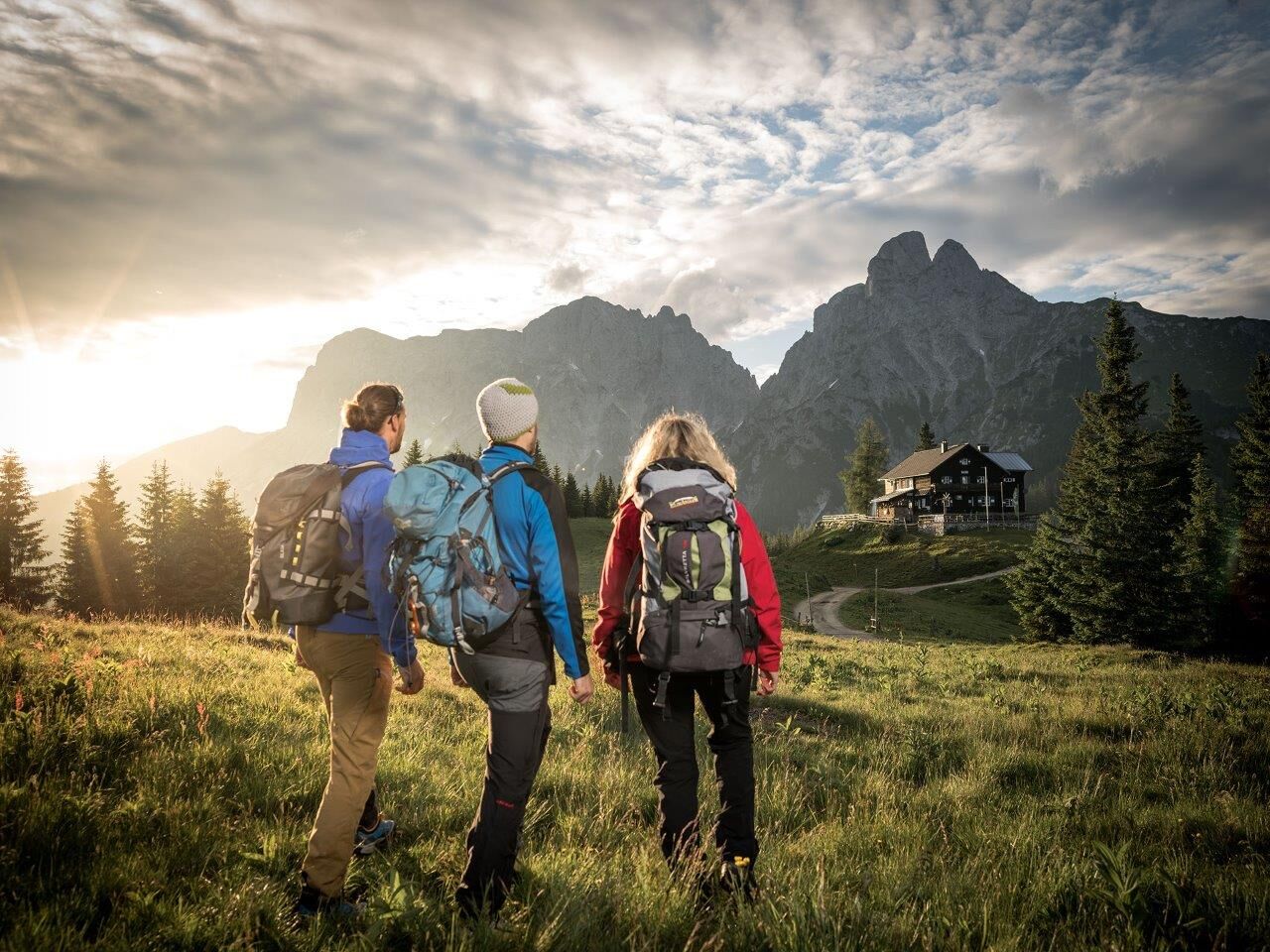
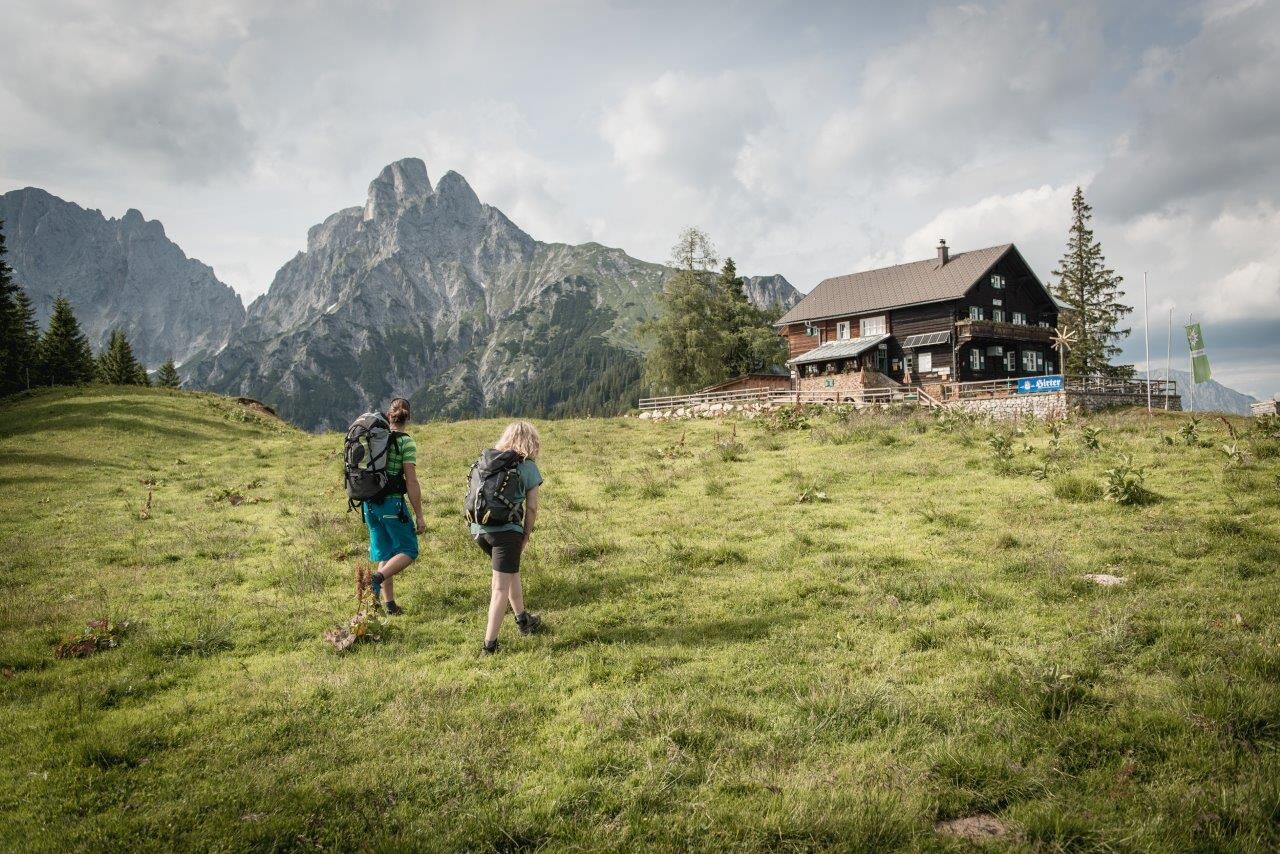
© TV Gesäuse - Stefan Leitner

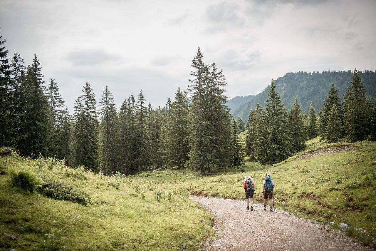
© TV Gesäuse - Max Mauthner

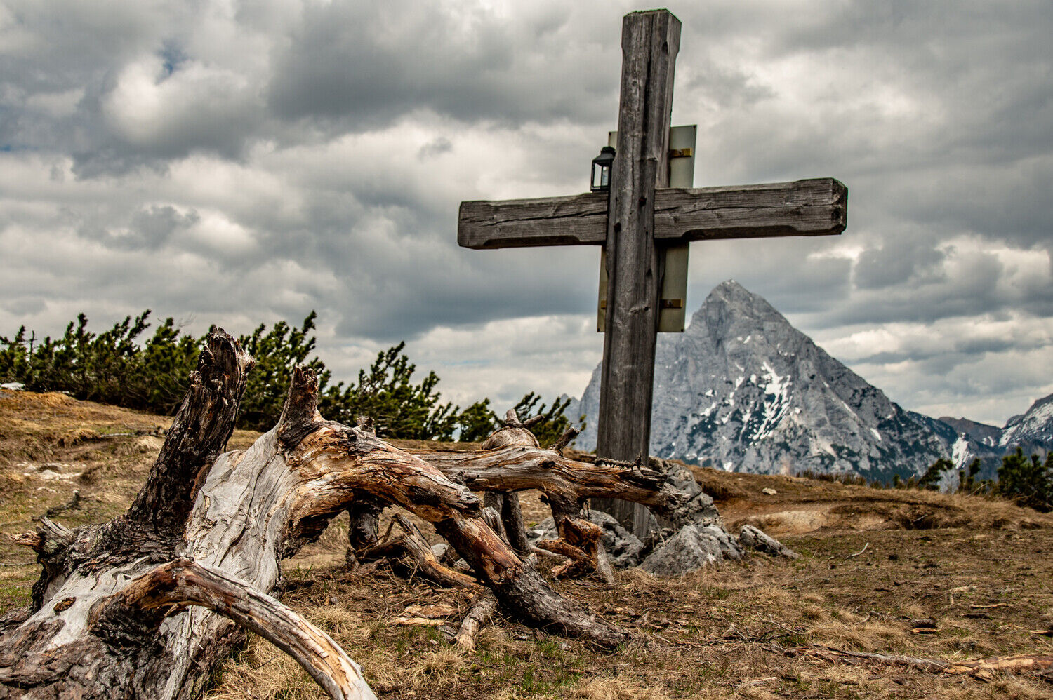
© TV Gesäuse - Tourismusverband Gesäuse

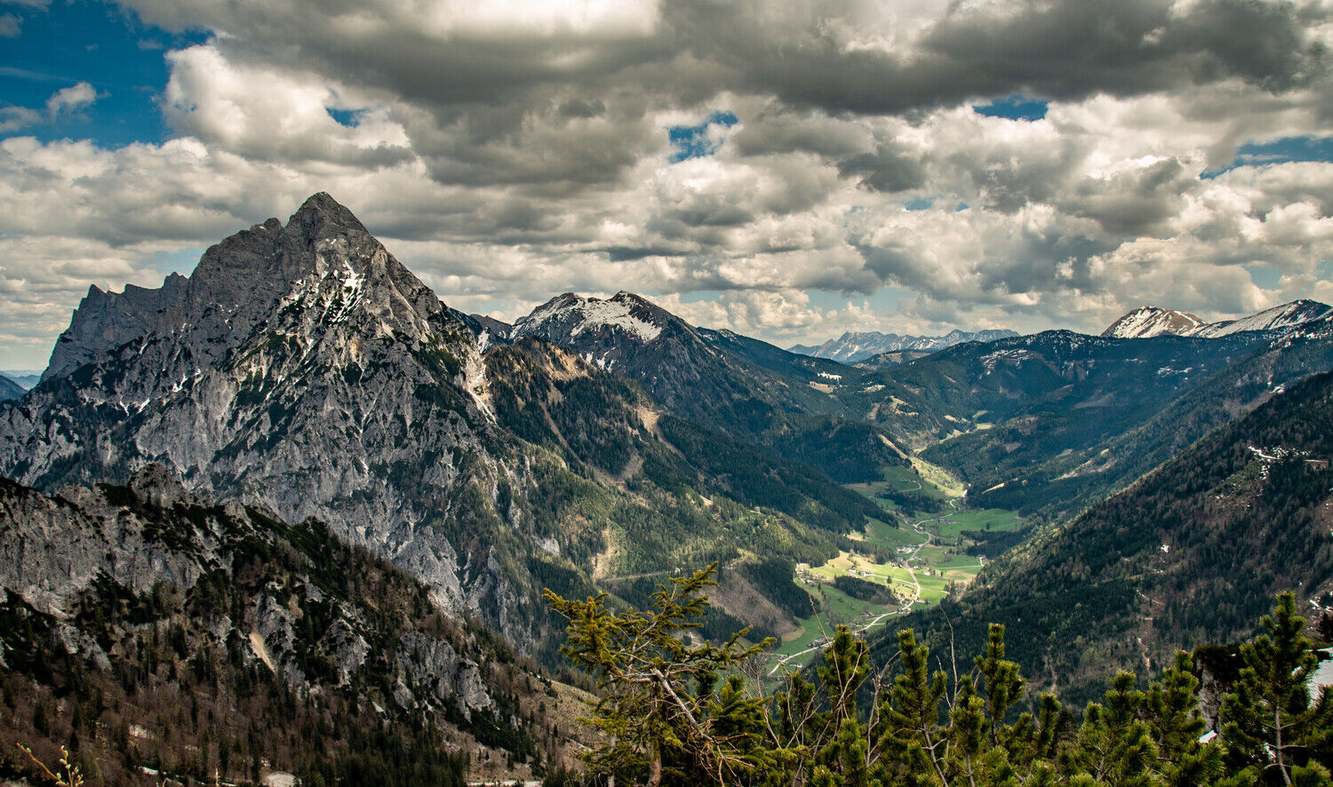
© TV Gesäuse - Stefan Leitner

© TV Gesäuse - Christian Scheucher

© TV Gesäuse - Christian Scheucher

© TV Gesäuse - Max Mauthner

© TV Gesäuse - Max Mauthner

© Tourismusverband Gesäuse

- Breve descripción
-
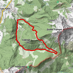
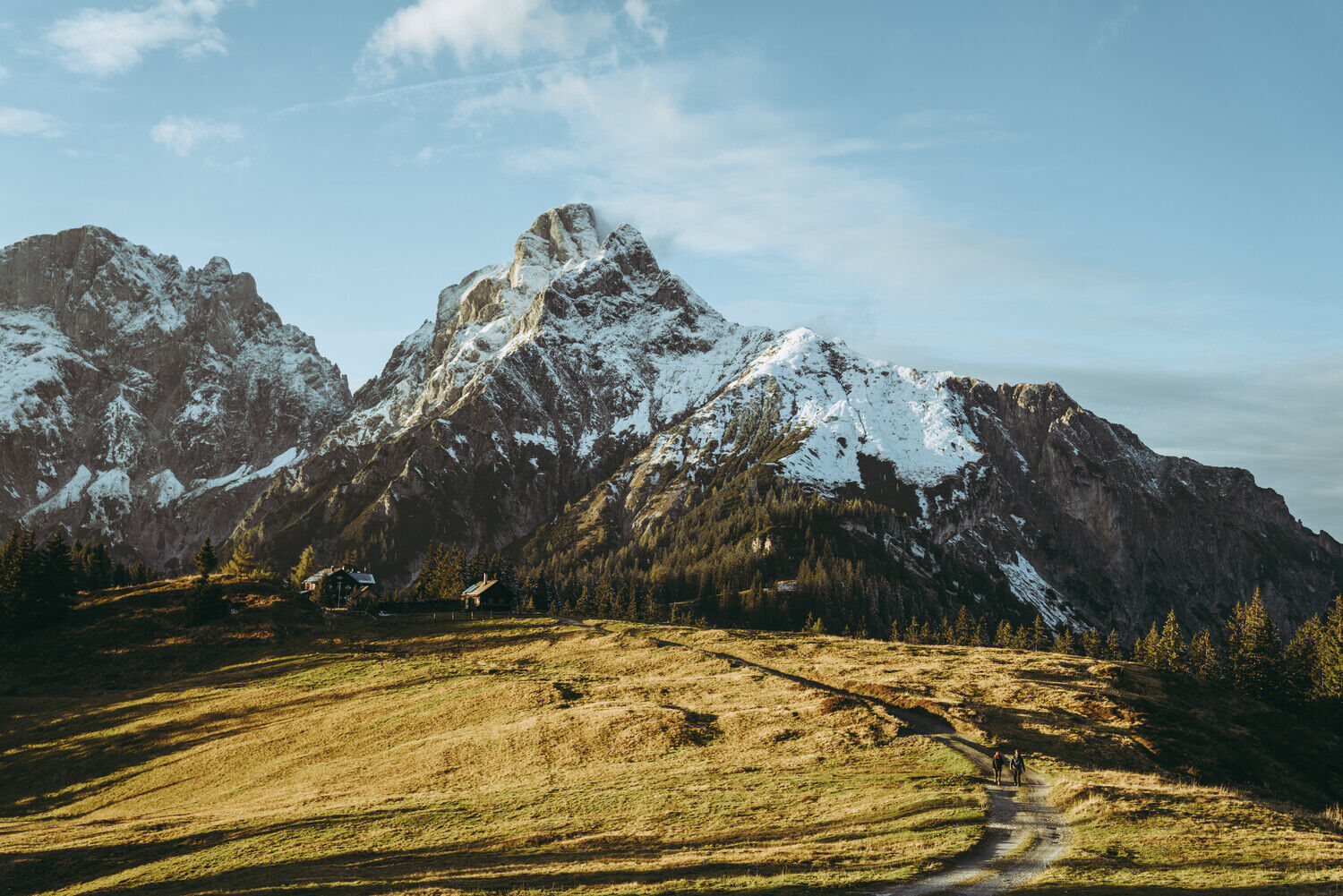
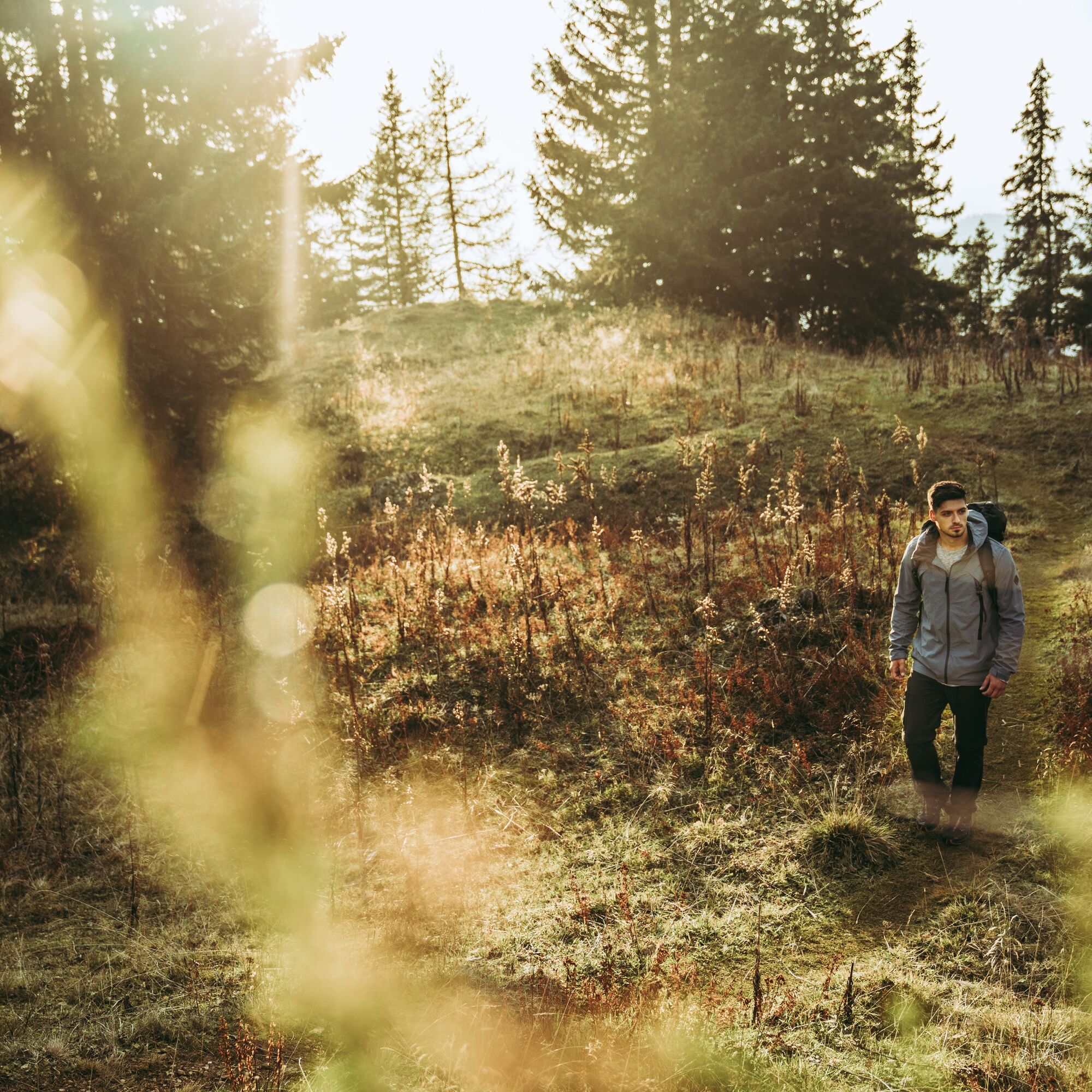
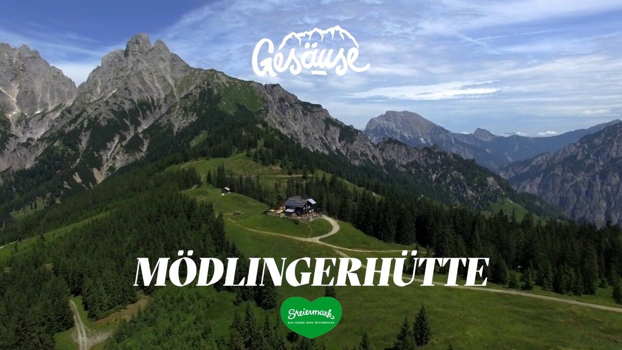
Johnsbach - Mödlingerhütte 2 h, via Anhartskogel to Niederberg 2 h, descent to Johnsbach 2,5 h
- Dificultad
-
medio
- Valoración
-
- Ruta
-
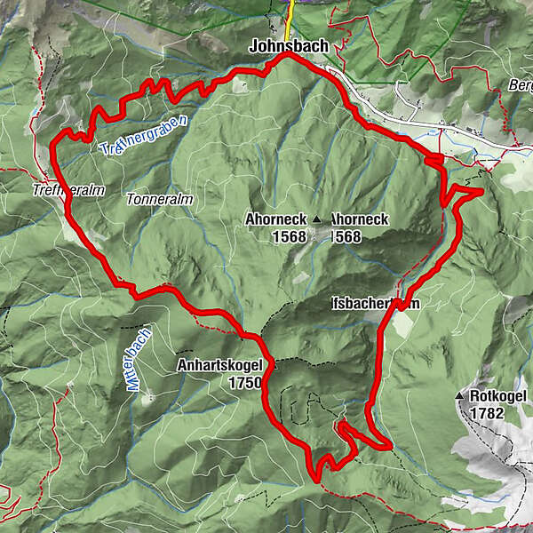
Gasthof DonnerJohnsbach (853 m)Spielkogel (1.731 m)5,8 kmBrunntörl6,9 kmAnhartskogel (1.750 m)7,3 kmJohnsbach (853 m)16,8 kmGasthof Donner16,9 km
- La mejor temporada
-
enefebmarabrmayjunjulagosepoctnovdic
- Punto álgido
- 1.740 m
- Punto final
-
Johnsbach - Gasthof Donner
- Perfil alto
-

-

-
AutorLa gira Johnsbach mountain trail es utilizado por outdooractive.com proporcionado.
GPS Downloads


Información general
Punto de avituallamiento
Flora
Vistas panorámicas
Más circuitos por las regiones
-
Gesäuse
2224
-
Gaishorn am See
306