Datos del tour
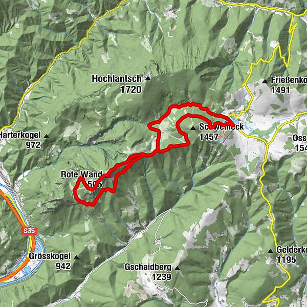
17,22km
1.008
- 1.466m
762hm
759hm
05:00h
- Breve descripción
-
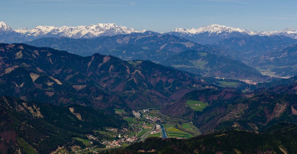
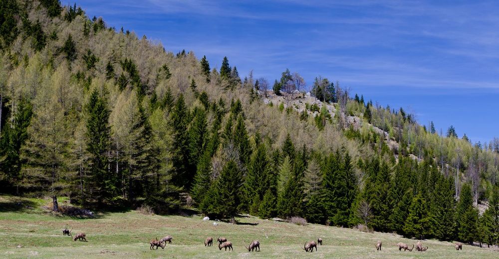
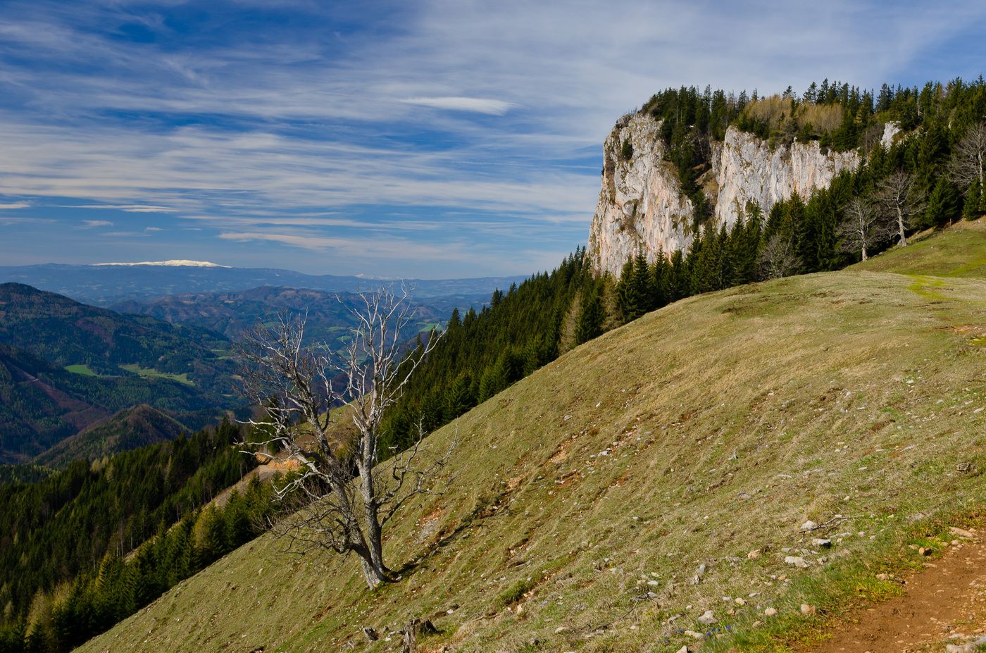
Sehr abwechslungsreiche Wanderung im Almenland.
- Dificultad
-
difícil
- Valoración
-
- Punto de salida
-
Teichalm Parkplatz
- Ruta
-
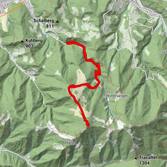
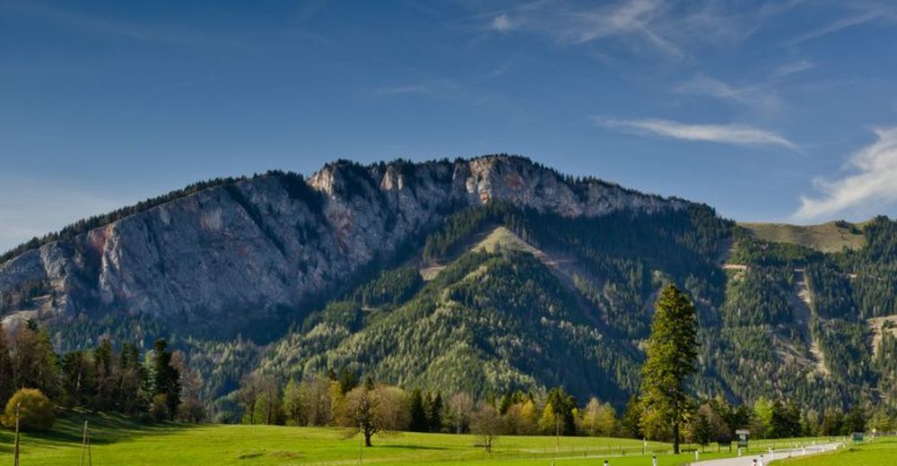
Tyrnauer Almhütte4,2 kmRote Wand (1.505 m)6,3 kmBucheben (1.081 m)8,3 kmTyrnauer Almhütte12,5 kmTyrnauer Alm12,7 kmOchsenbodenloch14,6 kmGaston-Lippitt-Hütte (1.200 m)16,4 km
- La mejor temporada
-
enefebmarabrmayjunjulagosepoctnovdic
- Punto álgido
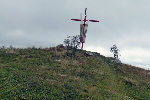
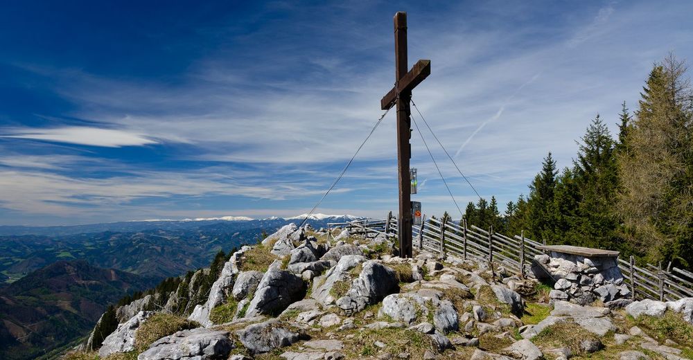
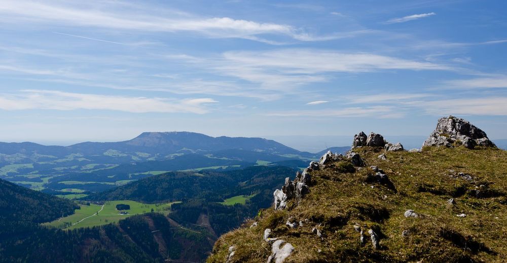
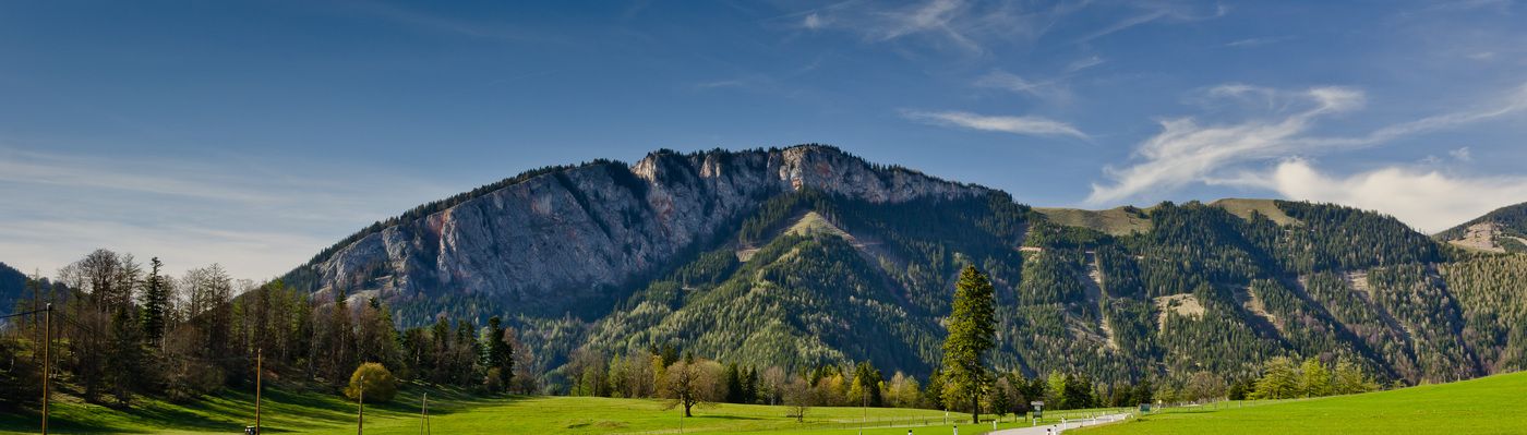
- Rote Wand (1.466 m)
- Descanso/Avituallamiento
-
Beim Alm Erich auf der Tyrnauer Alm, Teichwirt auf der Teichalm


GPS Downloads


Superficie de carretera
Asfalto
Gravilla
Pradera
Bosque
Roca
Expuesto
Más circuitos por las regiones
-
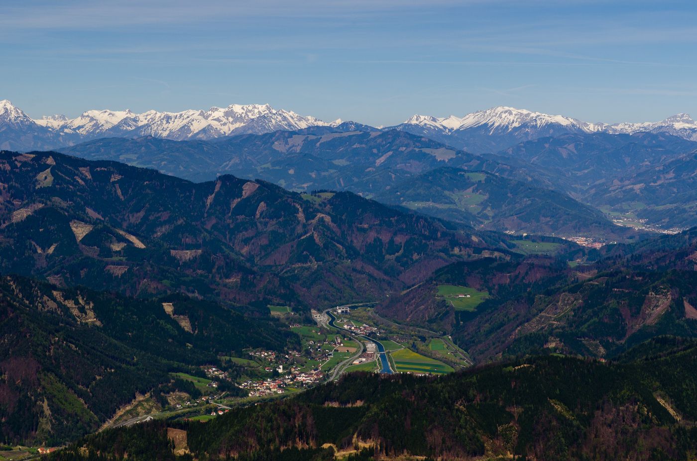
Hochsteiermark
4082
-
Naturpark Almenland
1767
-
Breitenau am Hochlantsch
439