Oswalder Rundweg– Tour 52 lt. WK „Von der Alm zum Wein“

Senderismo

© Südsteiermark - WEGES

© Südsteiermark - Brigitte Kügerl

© Tourismusbüro Lipizzanerheimat - Mediasoft/Kurz

© Südsteiermark - Brigitte Kügerl

© Südsteiermark - Brigitte Kügerl

© Südsteiermark - Brigitte Kügerl

© Südsteiermark - Brigitte Kügerl

© Südsteiermark - WEGES

© Südsteiermark - WEGES
- Breve descripción
-
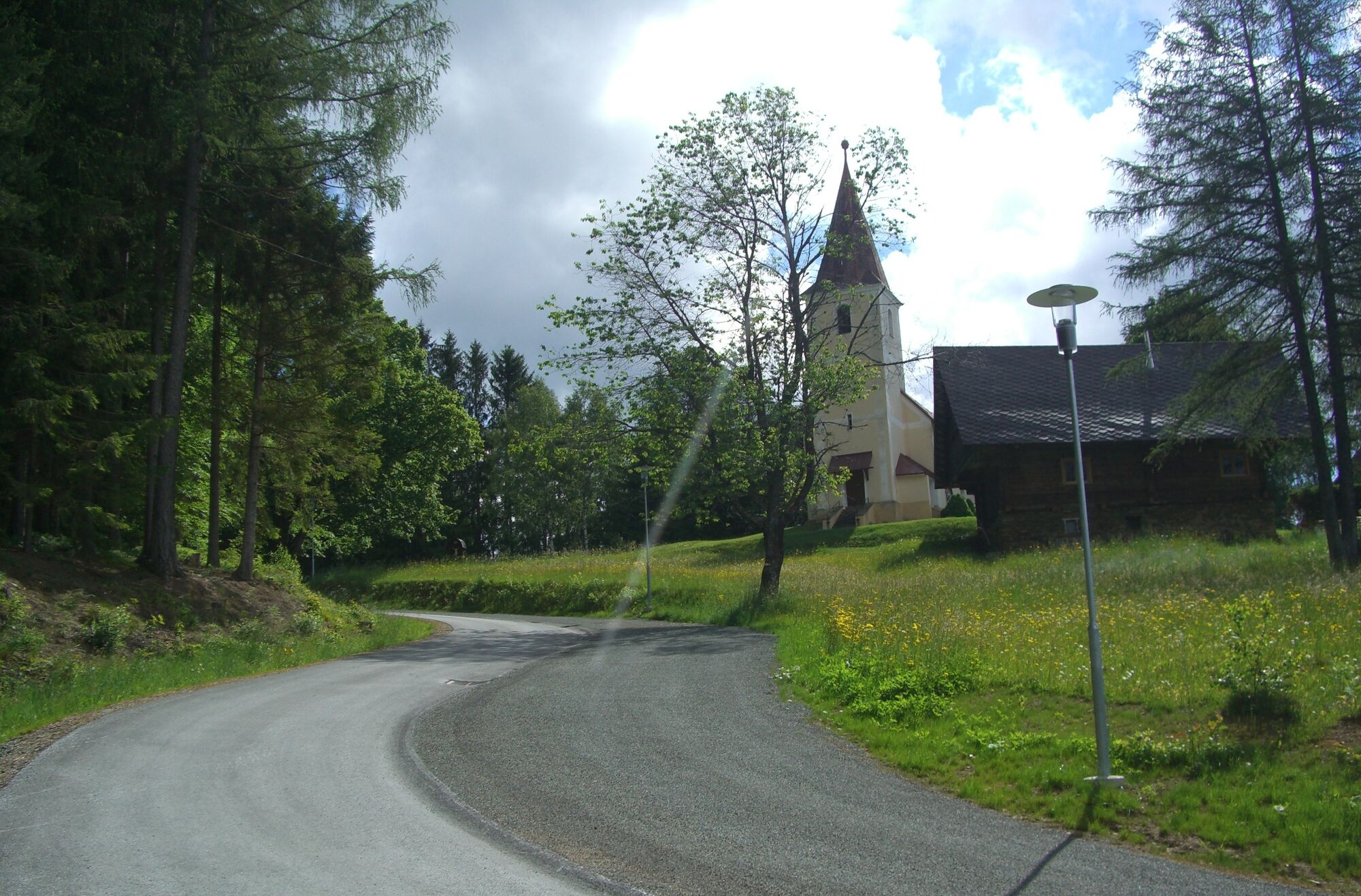
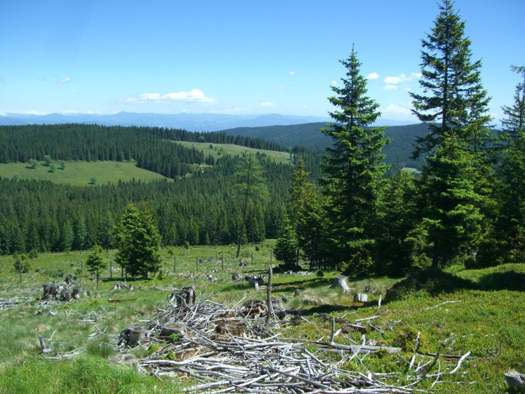
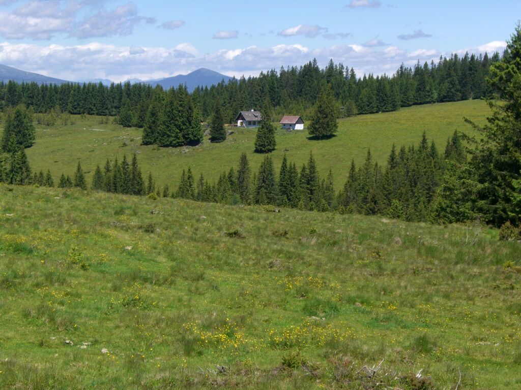
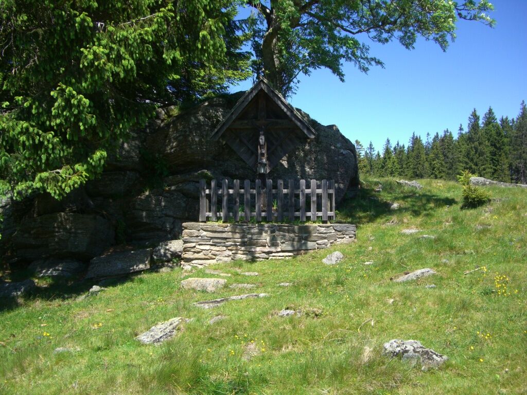
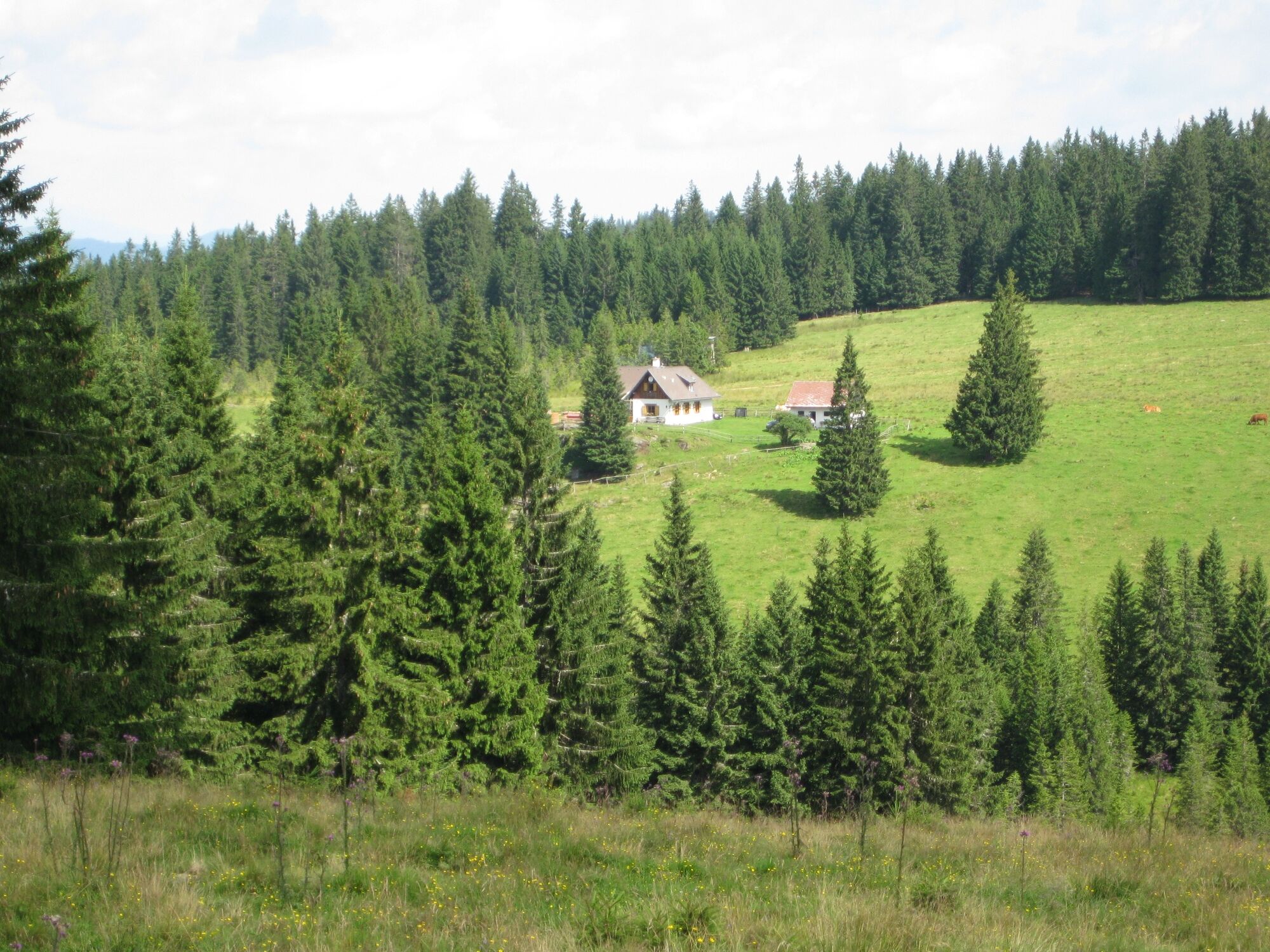
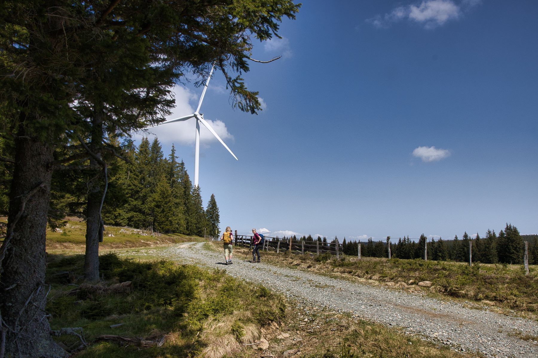
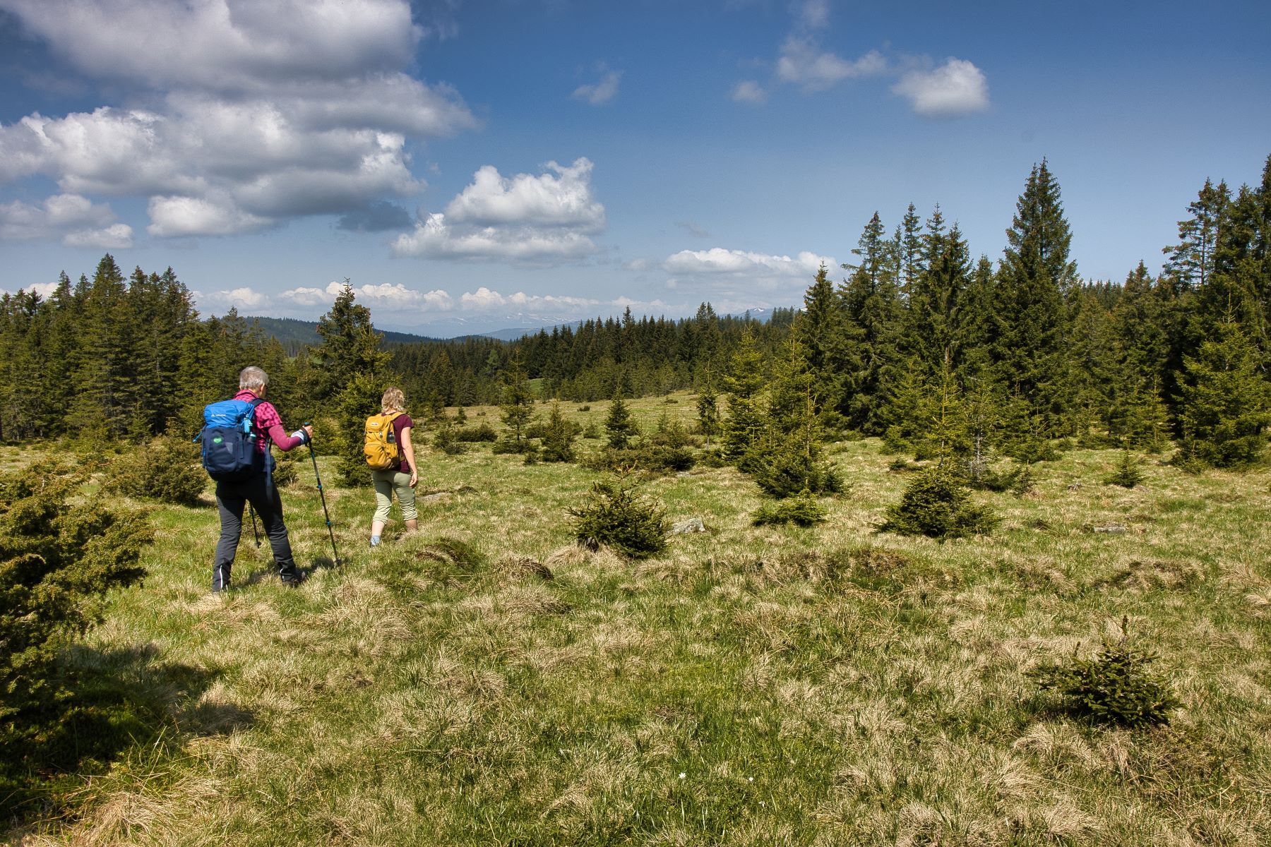
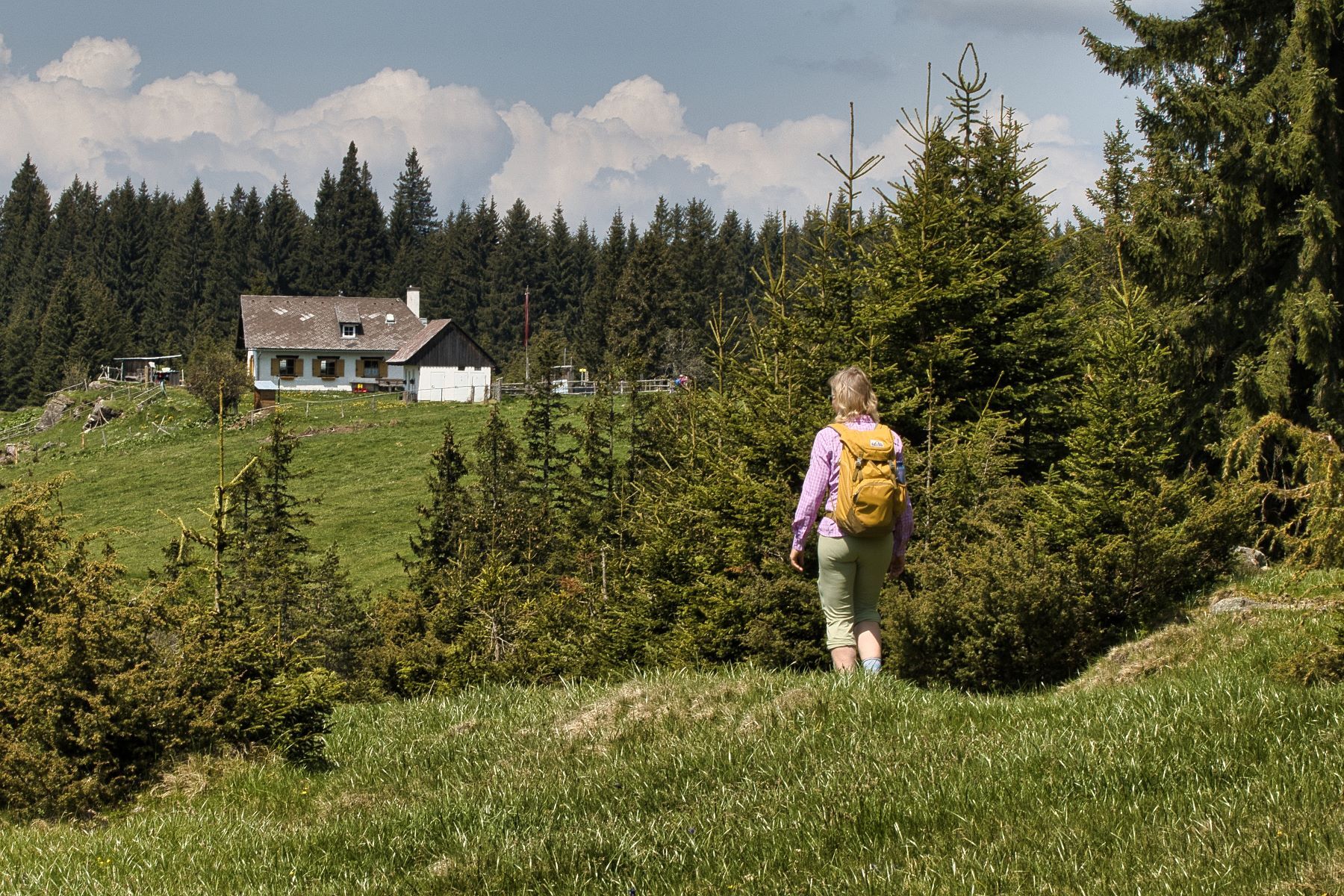
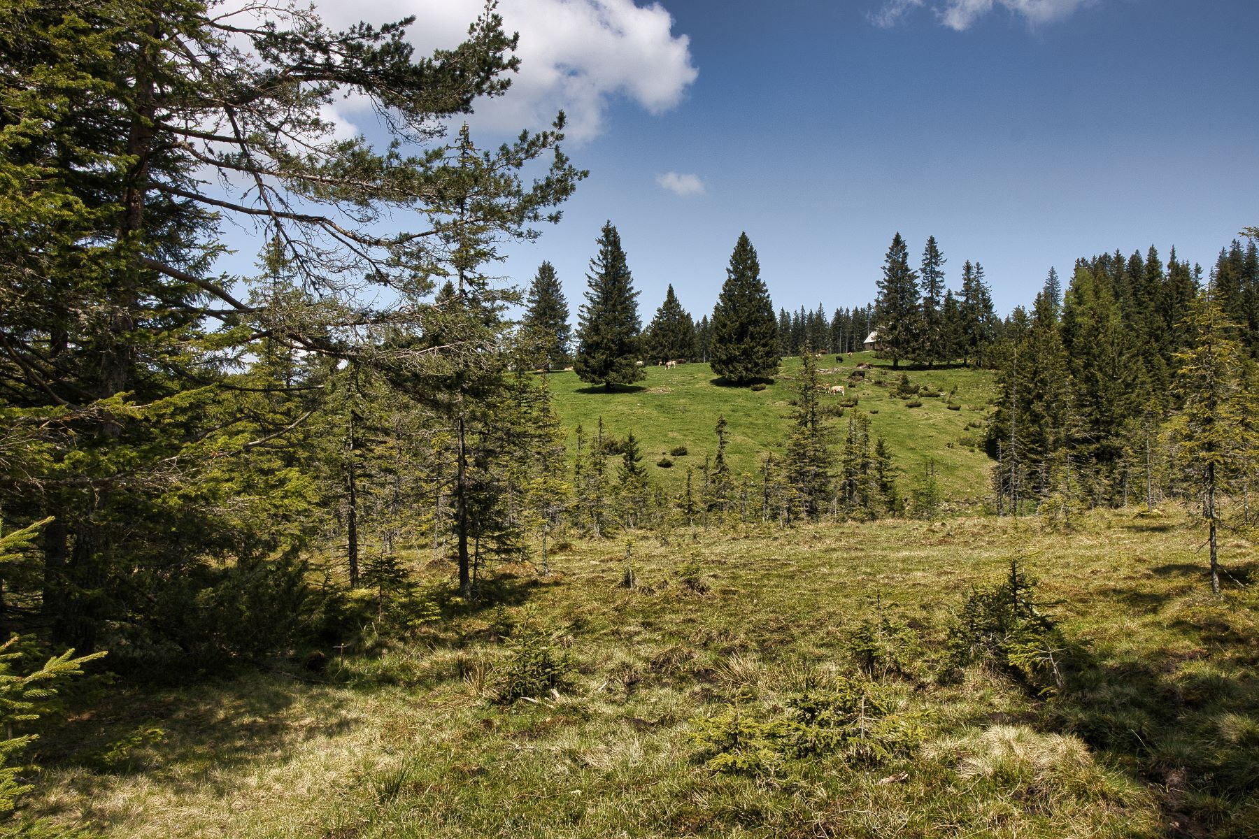
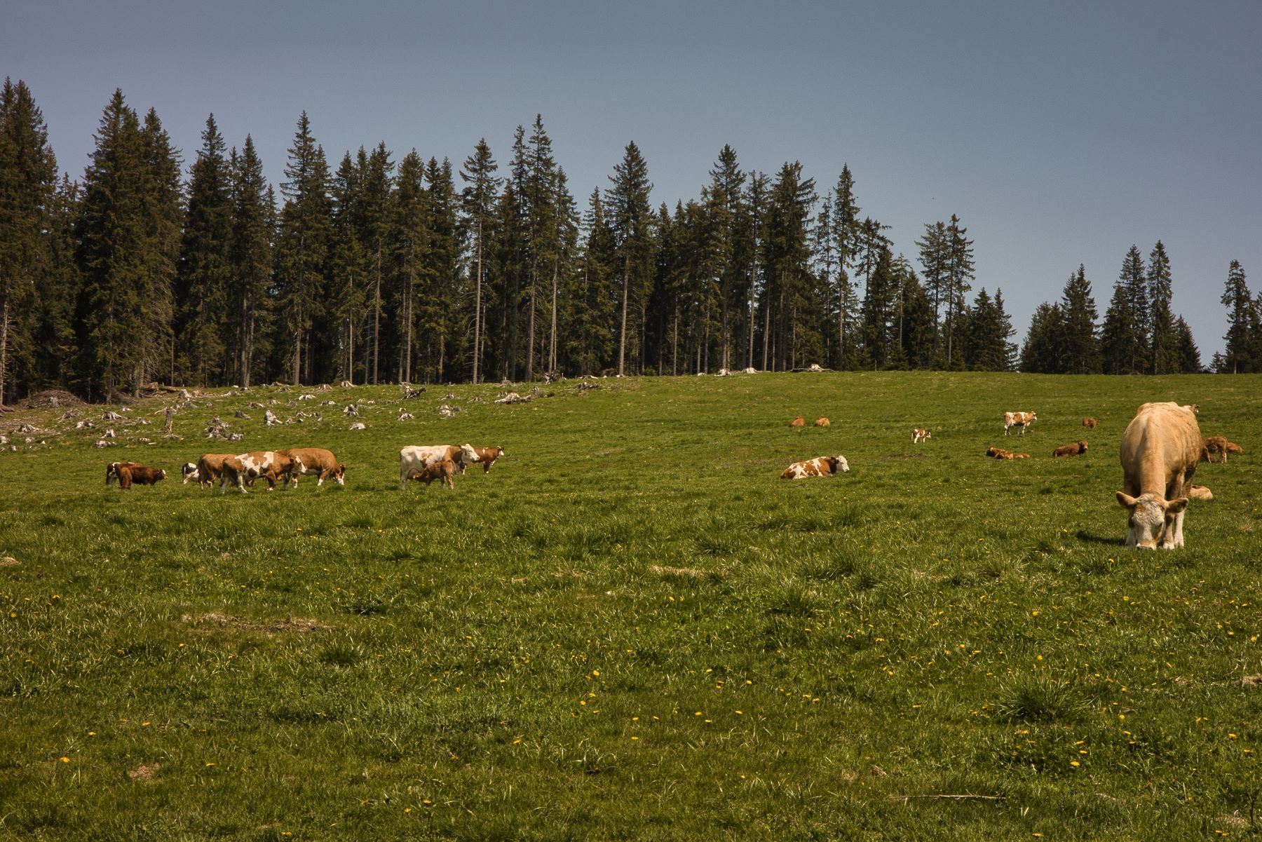
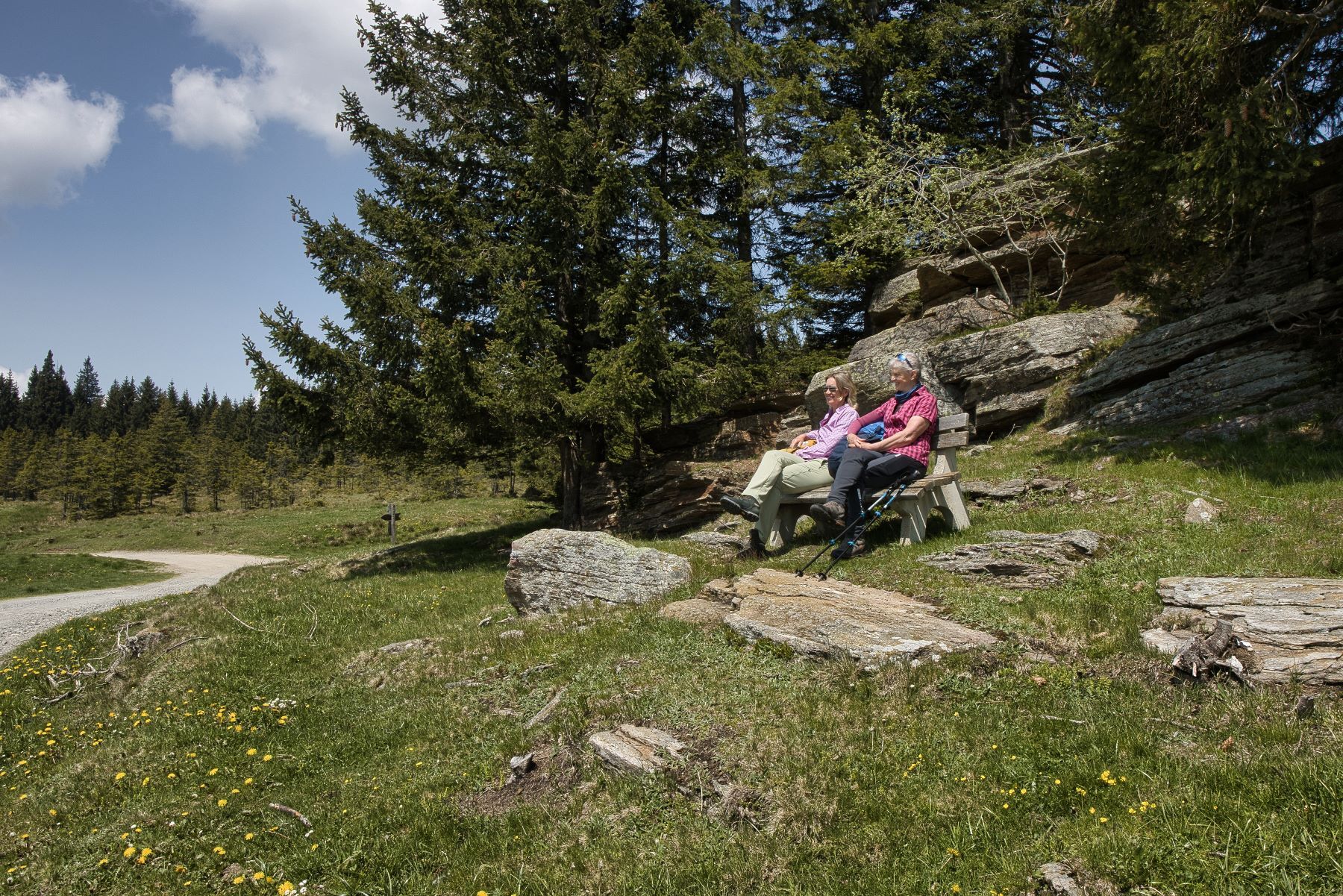
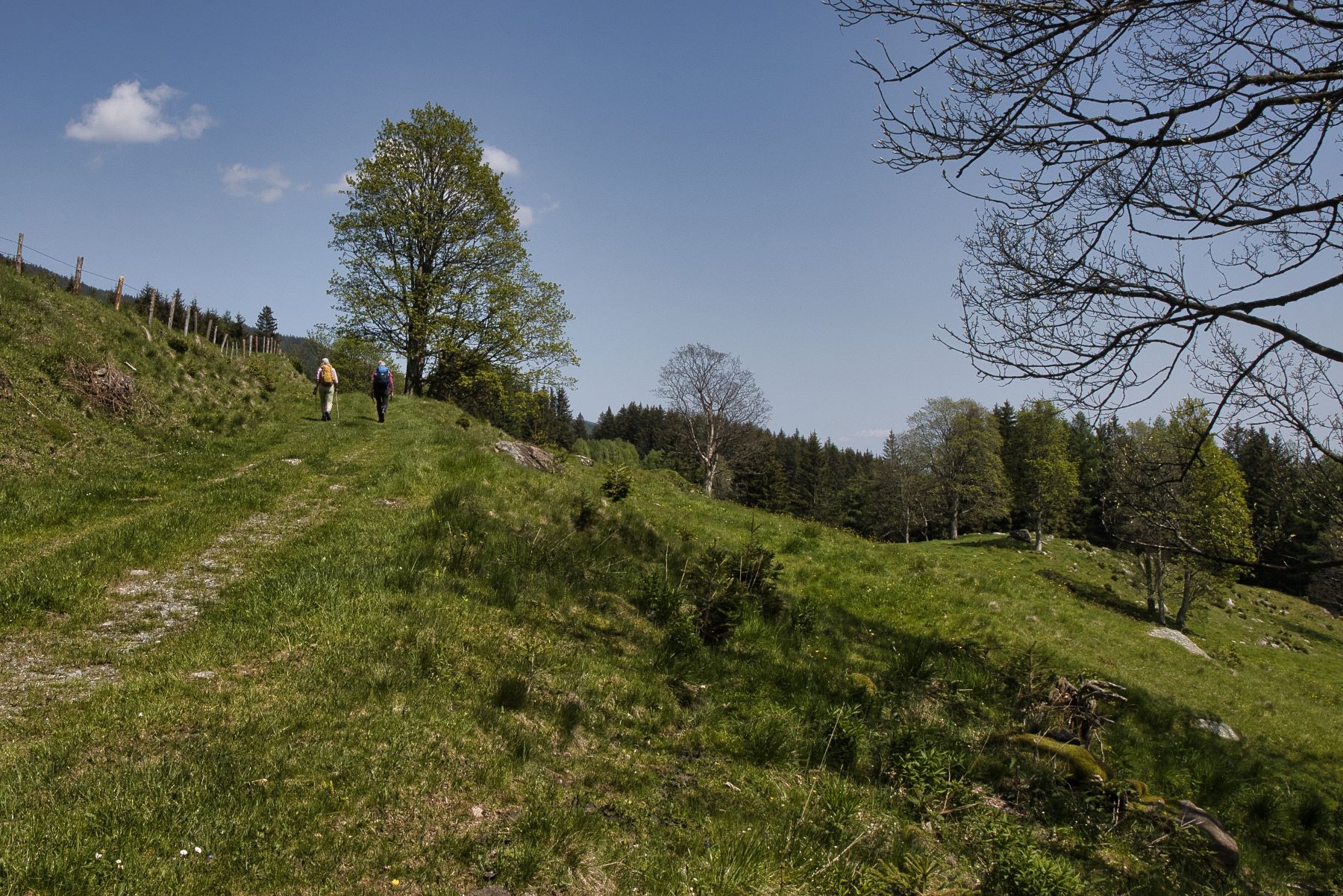
Eine Wanderung auf ca. 1000m Seehöhe mit Aussichtspunkten am Rundweg mit ca. 17,7 km Länge. Auch kürzere Varianten möglich.
- Dificultad
-
medio
- Valoración
-
- Ruta
-
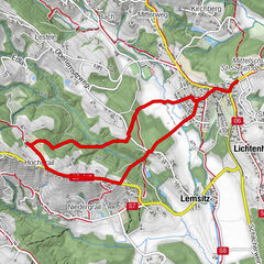
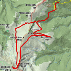
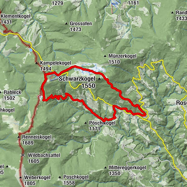
Freiländeralmhütte5,2 kmRehbockhütte6,5 kmRettenbach16,8 kmSt. Oswald im Freiland17,5 kmHl. Oswald17,9 km
- La mejor temporada
-
enefebmarabrmayjunjulagosepoctnovdic
- Punto álgido
- 1.493 m
- Punto final
-
St. Oswald in Freiland (1050 m)
- Perfil alto
-


-

-
AutorLa gira Oswalder Rundweg– Tour 52 lt. WK „Von der Alm zum Wein“ es utilizado por outdooractive.com proporcionado.
GPS Downloads


Más circuitos por las regiones
-
Erlebnisregion Graz
2775
-
Schilcherland Steiermark
1098
-
Reinischkogel
314