Bike & Hike Wandertipp Mörsbachalm - Gstemmerscharte

Senderismo
© Tourismusverband Grimming-Donnersbachtal - Schladming Dachstein - TVB Grimming-Donnersbachtal

© Erich Reith - Schladming Dachstein - TVB Grimming-Donnersbachtal

© Erich Reith - Schladming Dachstein - TVB Grimming-Donnersbachtal
- Breve descripción
-
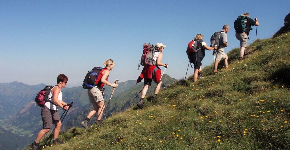
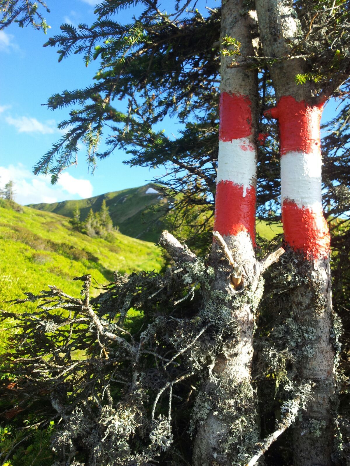
Erst biken, dann hiken!
Die erste Bike & Hike Wanderung in der Region Schladming-Dachstein.
- Dificultad
-
medio
- Valoración
-
- Ruta
-
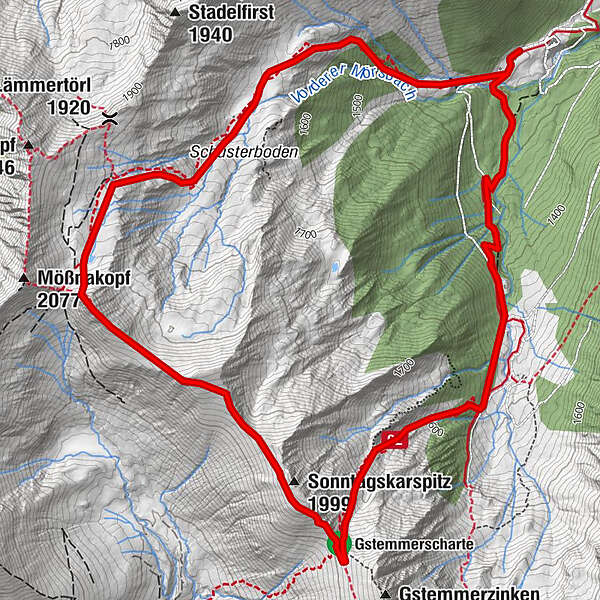
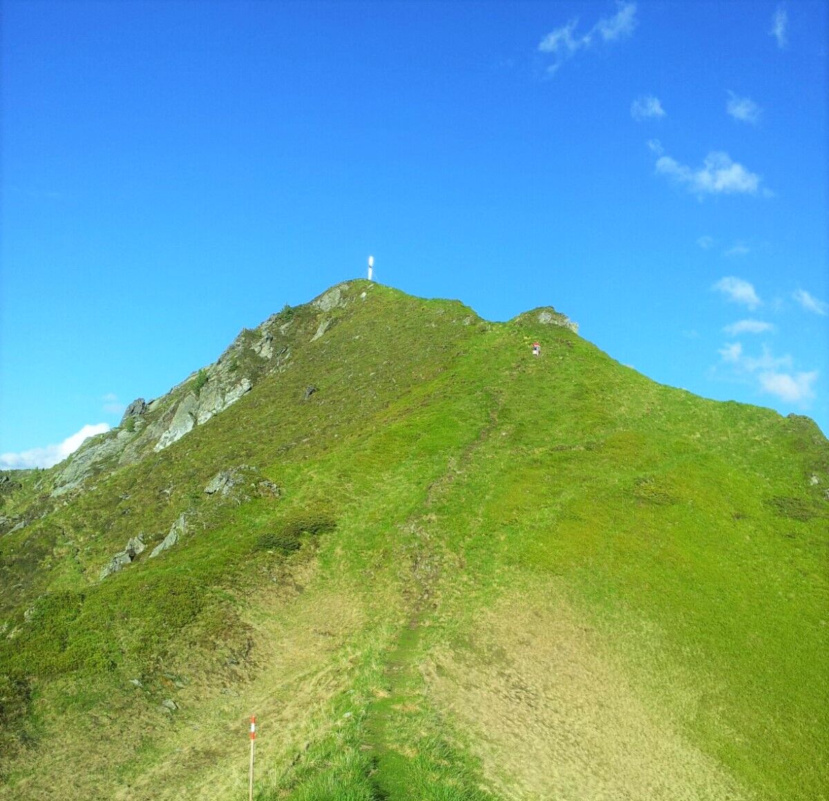
Mörsbachalm0,1 kmMößnascharte (1.950 m)2,4 kmSonntagskarspitz (1.999 m)3,9 kmGstemmerscharte (1.886 m)4,4 kmMörsbachalm7,4 km
- La mejor temporada
-
enefebmarabrmayjunjulagosepoctnovdic
- Punto álgido
- 1.998 m
- Punto final
-
Vordere Mörsbachalm
- Perfil alto
-


-

-
AutorLa gira Bike & Hike Wandertipp Mörsbachalm - Gstemmerscharte es utilizado por outdooractive.com proporcionado.
GPS Downloads


Más circuitos por las regiones