Datos del tour
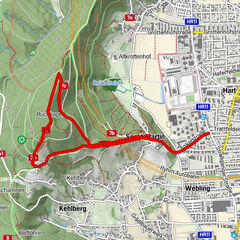
12,8km
370
- 690m
361hm
310hm
04:25h
- Breve descripción
-
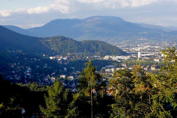
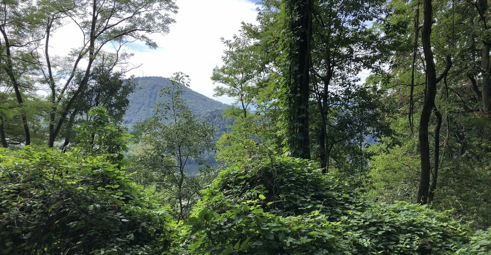
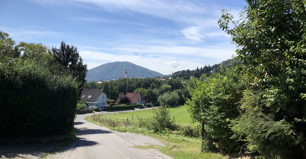
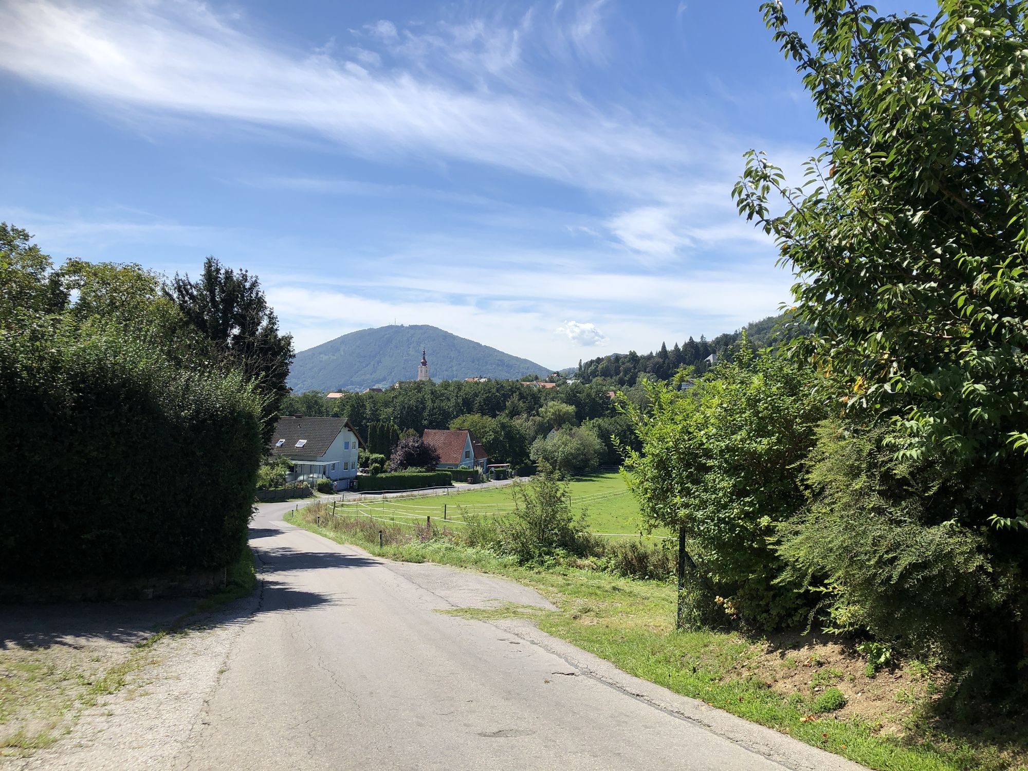
Admonter Kogel, Island Pferdehof, Sankt Veit
- Dificultad
-
fácil
- Valoración
-
- Ruta
-
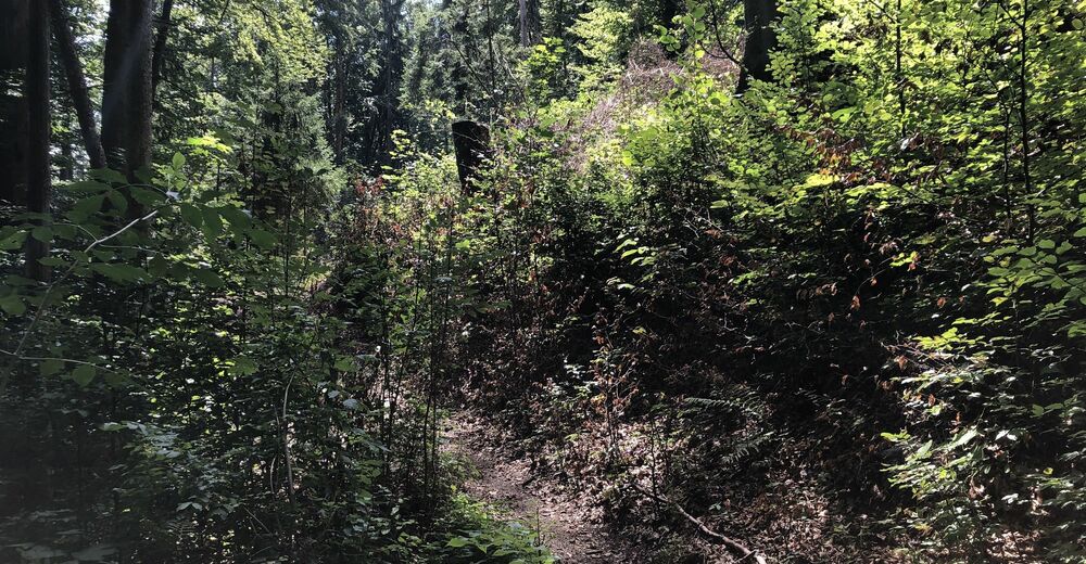
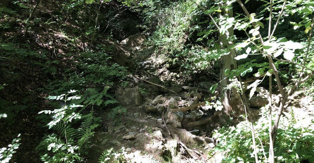
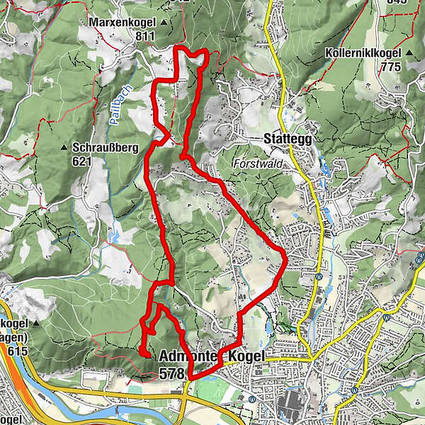
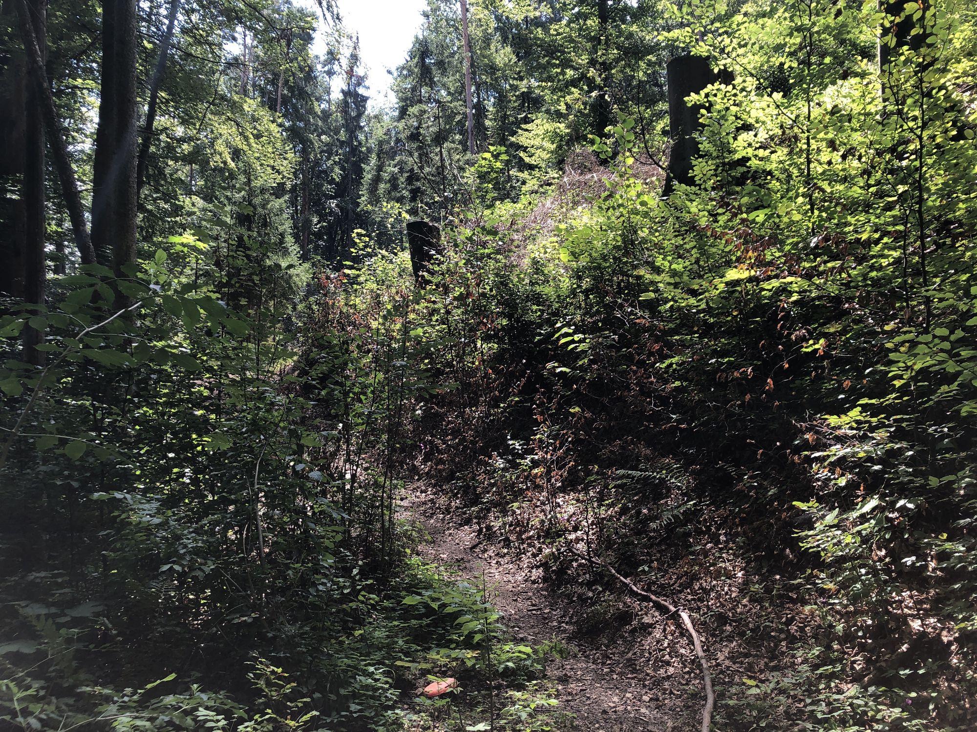
Sankt Veit0,2 kmSankt Gotthard0,5 kmAdmonter Kogel (578 m)2,8 kmBei den drei Linden5,5 kmKrail9,7 kmMirador9,9 kmRohrerberg11,3 kmPfarrkirche St. Veit12,5 km
- La mejor temporada
-
enefebmarabrmayjunjulagosepoctnovdic
- Punto álgido
- 690 m


GPS Downloads


Más circuitos por las regiones
-
Erlebnisregion Graz
2783
-
Graz und Region Graz
1524
-
Stattegg
757