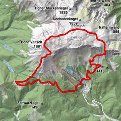

Datos del tour
13,5km
703
- 1.467m
733hm
756hm
05:00h
- Breve descripción
-
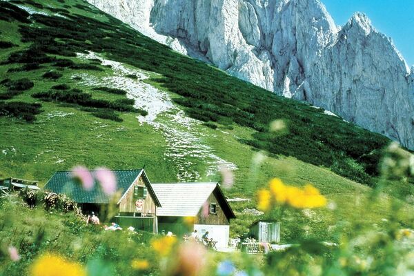
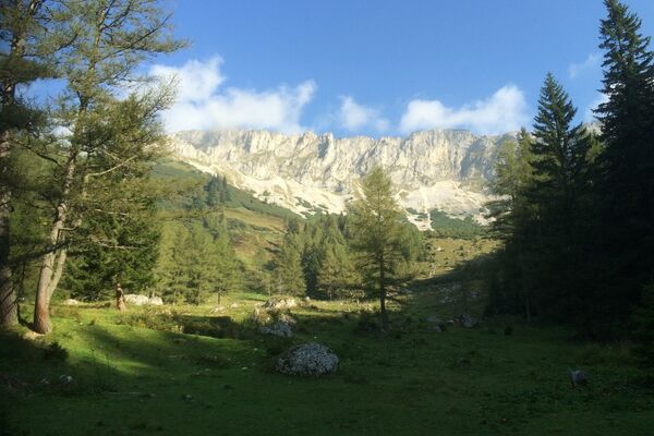
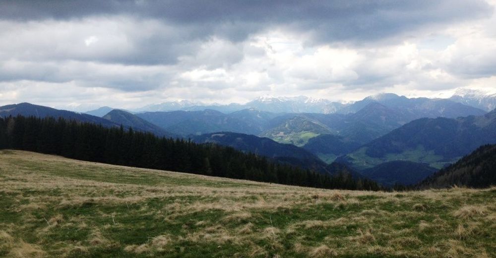
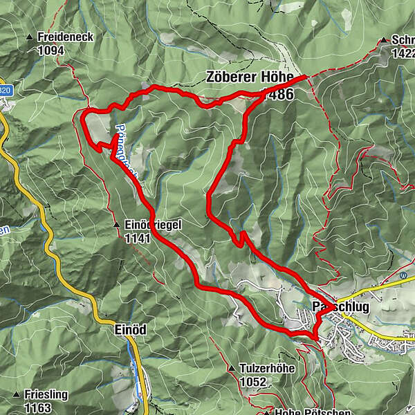
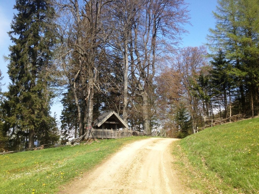
Kaisereck-Zöberer Höhe-GH Görgl-Parschlug
- Dificultad
-
medio
- Valoración
-
- Punto de salida
-
eh. GH Birkenhof, nunmehr Parkplatz GH Wurmerl
- Ruta
-
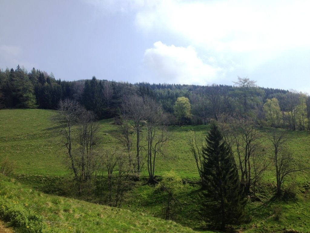
Parschlug0,0 kmPönegg1,4 kmZöberer Höhe (1.486 m)8,1 kmParschlug12,8 km
- La mejor temporada
-
enefebmarabrmayjunjulagosepoctnovdic
- Punto álgido
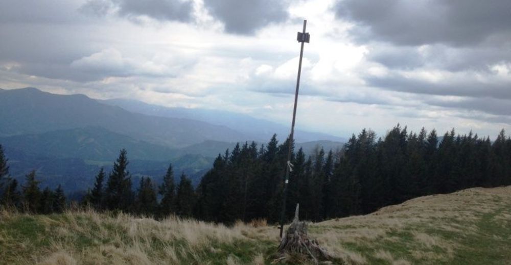
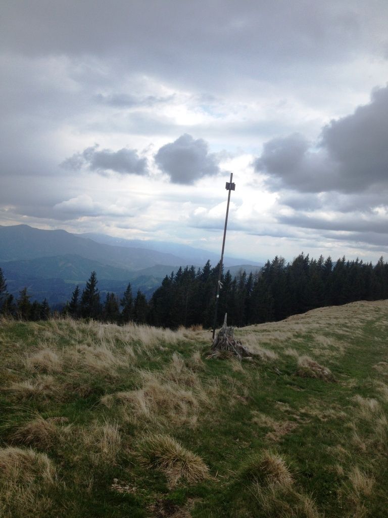
- Zöberer Höhe (1.467 m)
- Punto final
-
eh. GH Birkenhof


- Fuente
- Alois
GPS Downloads


Superficie de carretera
Asfalto
Gravilla
(20)
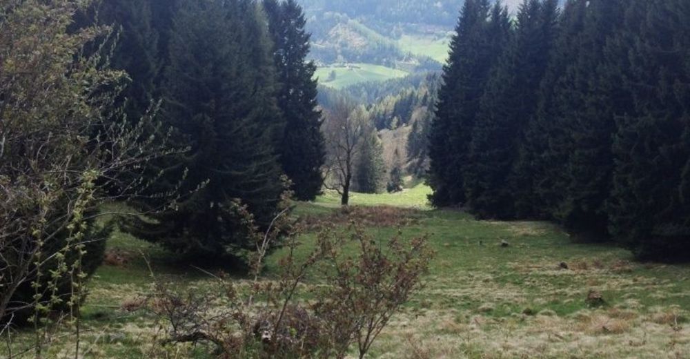
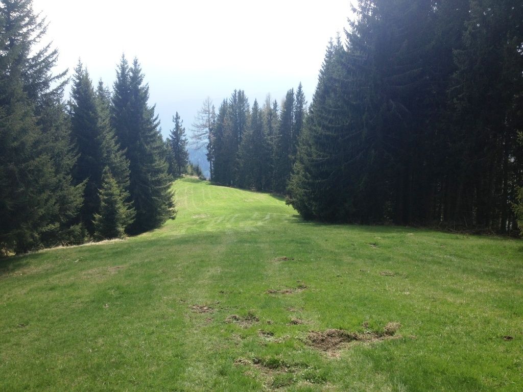
Pradera
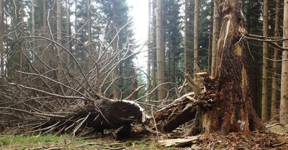
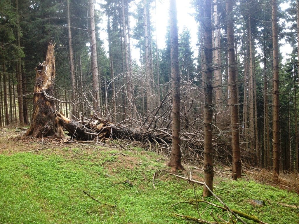
Bosque
(80)
Roca
Expuesto
Más circuitos por las regiones
-
Hochsteiermark
4084
-
Bruckmur-Kapfenberg
1500
-
Thörl
384