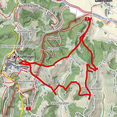
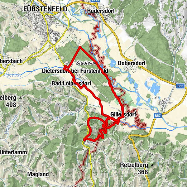
Floodplain & shore trail - Long variant / Trail 8

Senderismo

© Erlebnisregion Thermen- & Vulkanland - Johann Gollowitsch

© Erlebnisregion Thermen- & Vulkanland - Jörg Liemandt

© Erlebnisregion Thermen- & Vulkanland - Jörg Liemandt

© Erlebnisregion Thermen- & Vulkanland - Jörg Liemandt

© Erlebnisregion Thermen- & Vulkanland - Jörg Liemandt

© Erlebnisregion Thermen- & Vulkanland - Jörg Liemandt

© Erlebnisregion Thermen- & Vulkanland - Jörg Liemandt

© Erlebnisregion Thermen- & Vulkanland - Jörg Liemandt

© Erlebnisregion Thermen- & Vulkanland - Jörg Liemandt

© Erlebnisregion Thermen- & Vulkanland - Jörg Liemandt
- Breve descripción
-
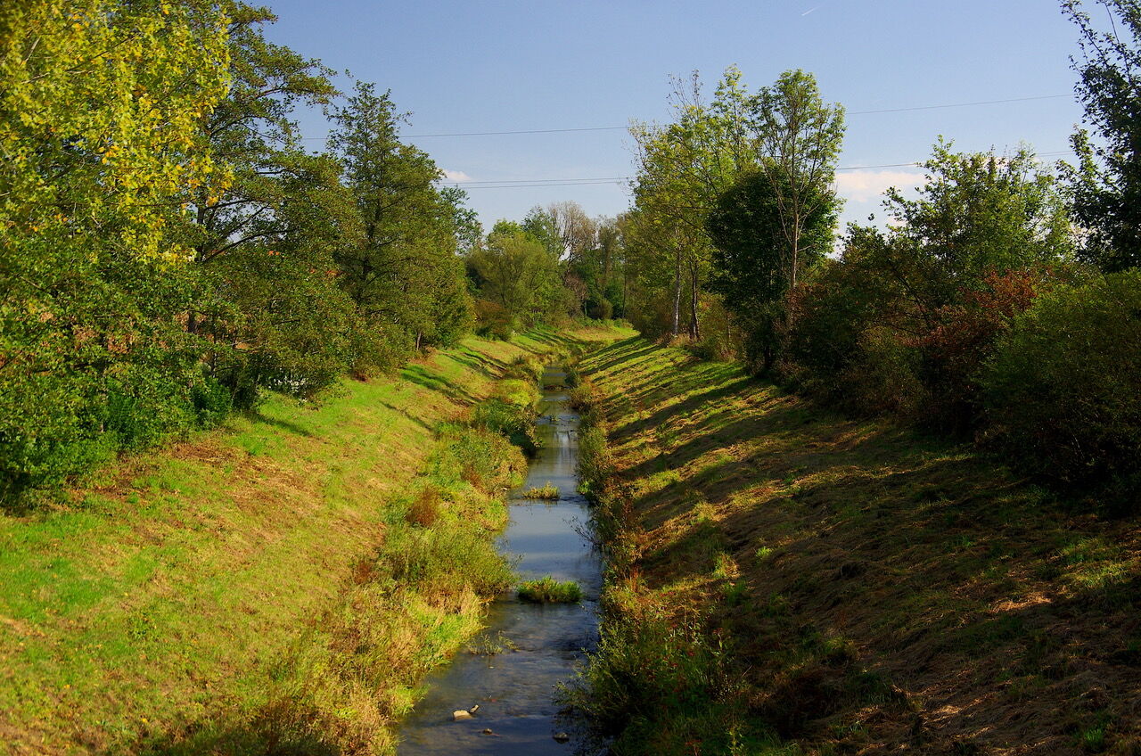
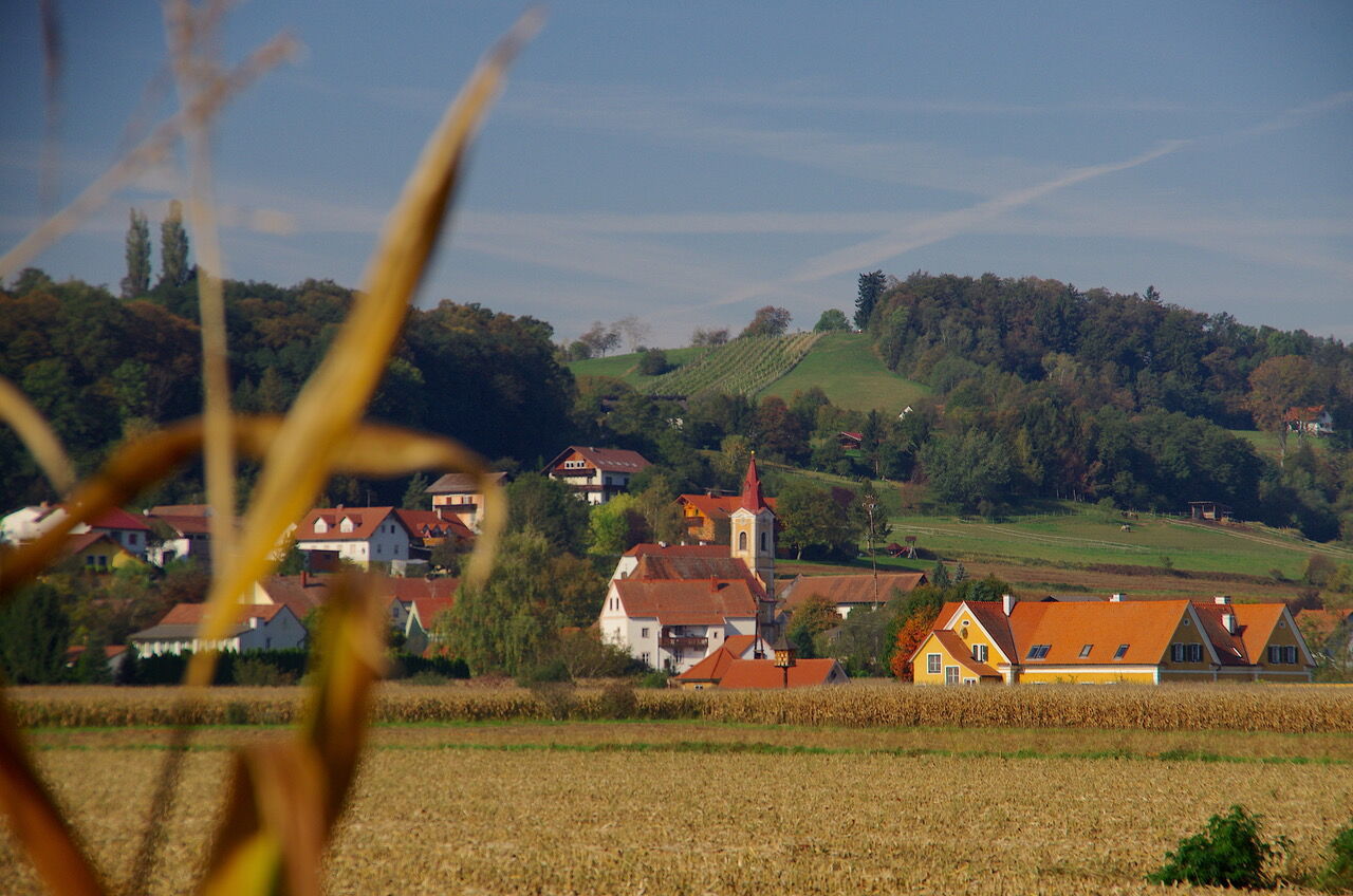
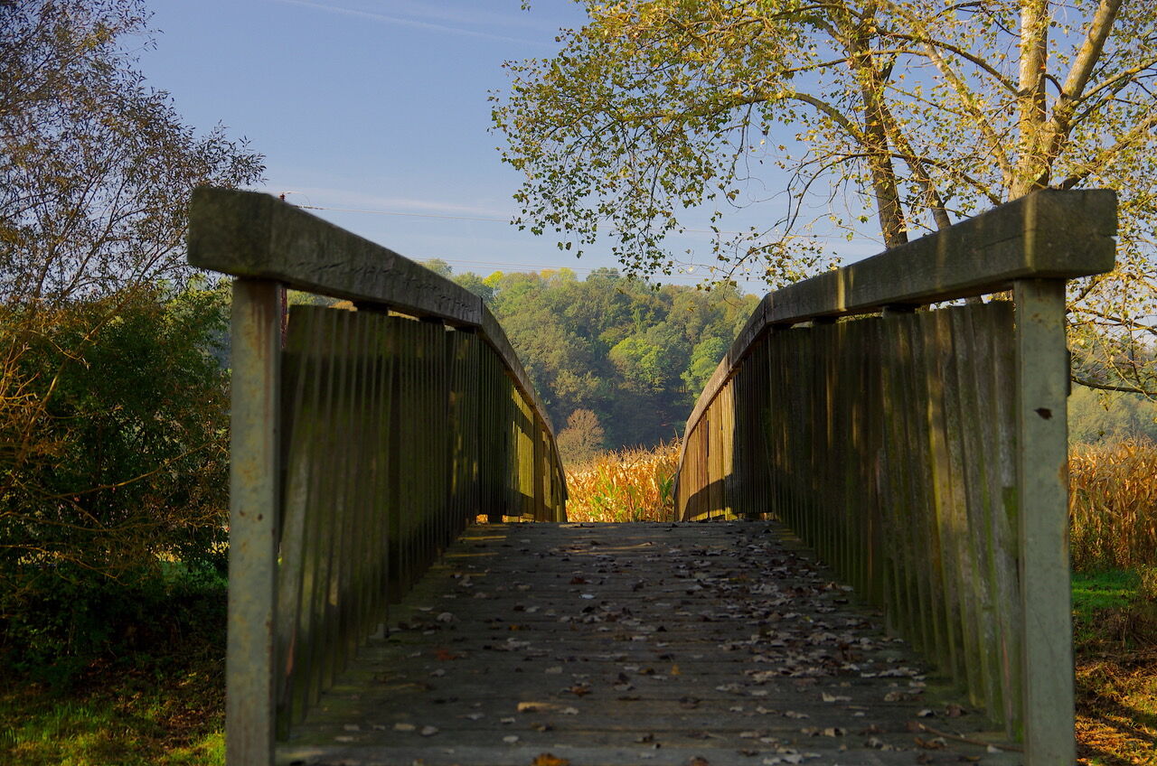
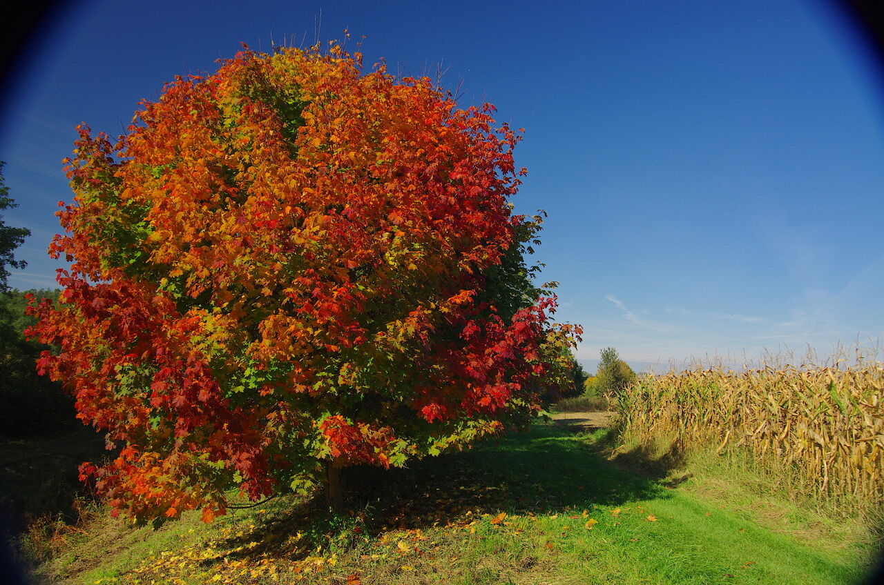
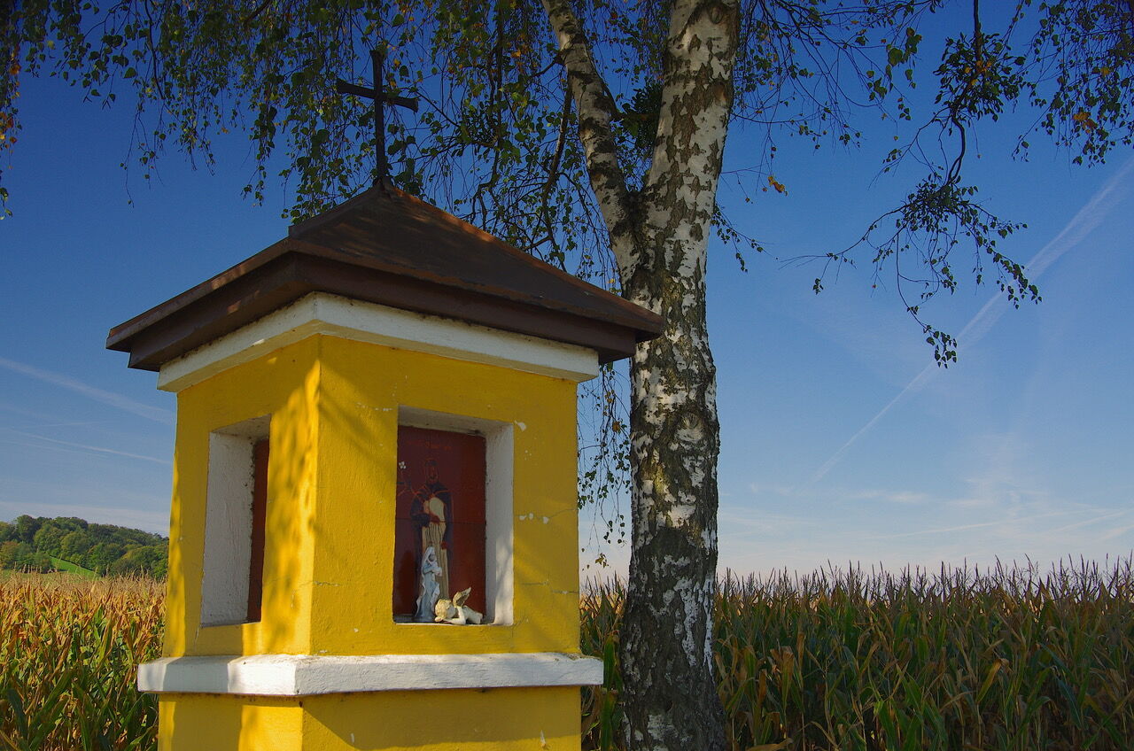
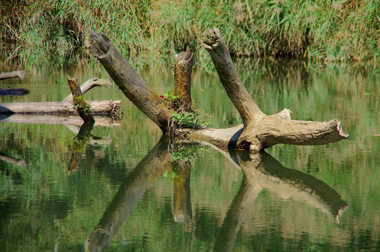
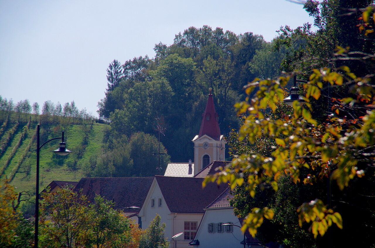
Somewhat longer but all the more beautiful hiking trail. Through forests and along Feistritz and Rittschein and past the golf course. Scenically charming, largely flat.
- Dificultad
-
medio
- Valoración
-
- Ruta
-
Gillersdorf4,0 kmGasthof Weber10,2 kmDietersdorf bei Fürstenfeld10,8 kmBad Loipersdorf11,6 kmGillersdorf15,3 kmHartbergen18,9 kmLauten19,3 km
- La mejor temporada
-
enefebmarabrmayjunjulagosepoctnovdic
- Punto álgido
- 352 m
- Punto final
-
Thermal spa Loipersdorf
- Perfil alto
-


-

-
AutorLa gira Floodplain & shore trail - Long variant / Trail 8 es utilizado por outdooractive.com proporcionado.
GPS Downloads


Información general
Punto de avituallamiento
Más circuitos por las regiones
-
Thermen- & Vulkanland
1324
-
Loipersdorf bei Fürstenfeld
463
-
Loipersdorf
113