Stage 06 From Glacier to Wine North Route Hochmölbinghütte - Wörschach

Senderismo

© Steiermark Tourismus/Manfred Polansky - Manfred Polansky

© Steiermark - Das Grüne Herz Österreichs

© Tourismusverband Grimming-Donnersbachtal - Schladming Dachstein

© Alpenverein Linz - Karl Linecker

© (c) Steiermark Tourismus/Manfred Polansky - Manfred Polansky

© Steiermark Tourismus/Manfred Polansky - Manfred Polansky

© Steiermark Tourismus/Manfred Polansky - Manfred Polansky

© (c) Steiermark Tourismus/Manfred Polansky - Manfred Polansky

- Breve descripción
-
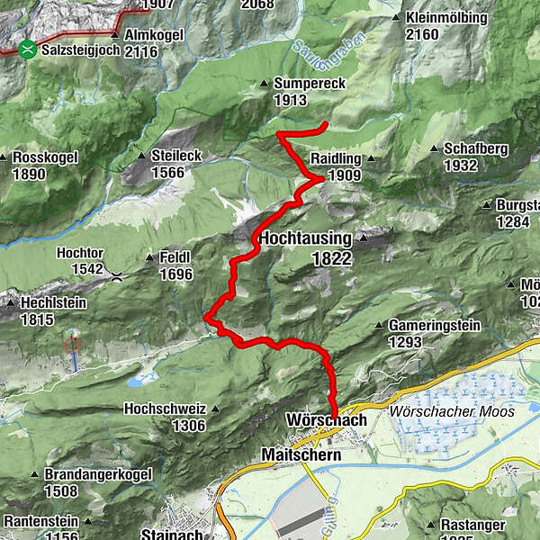
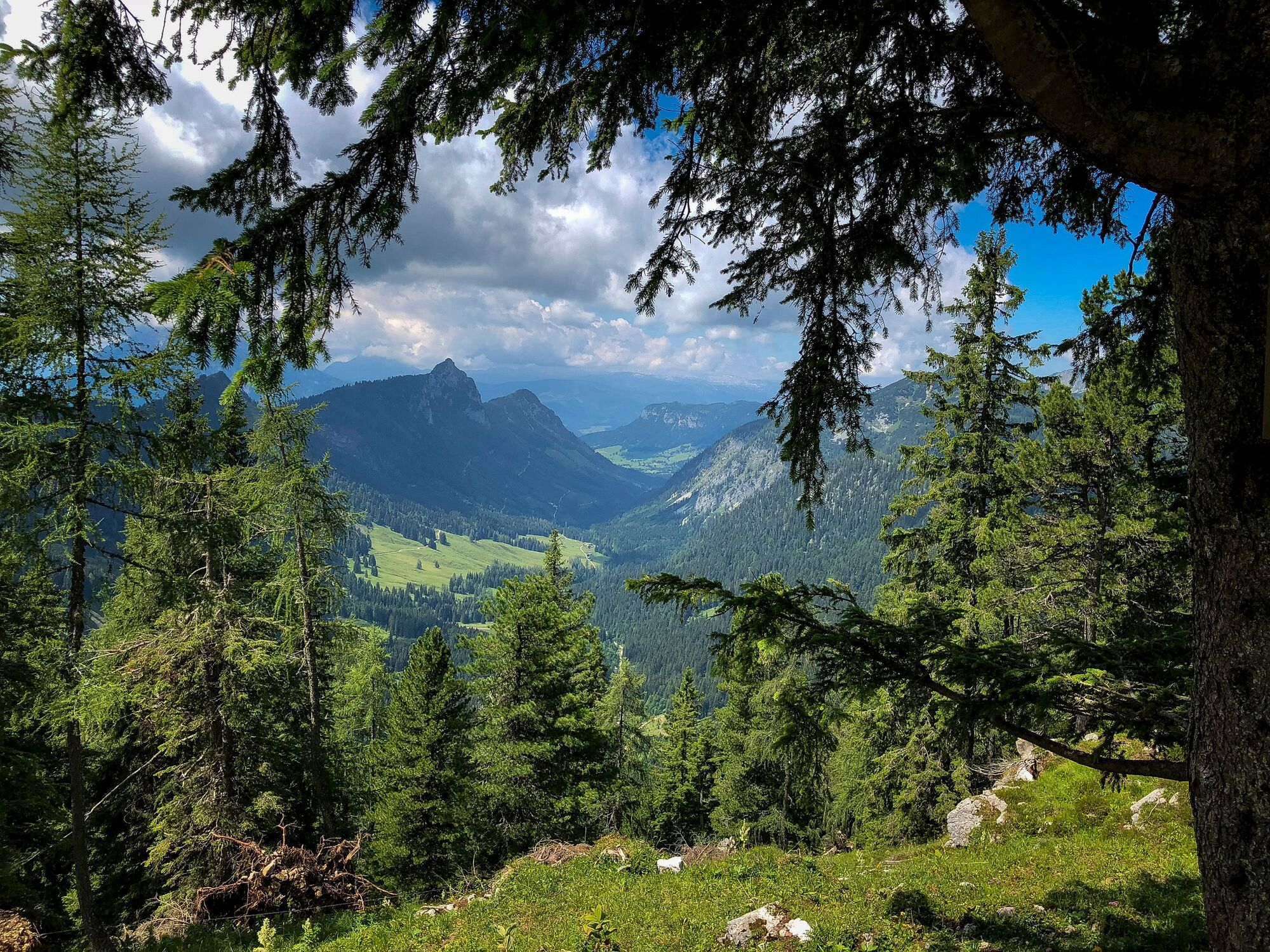
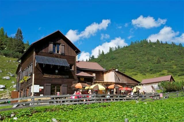
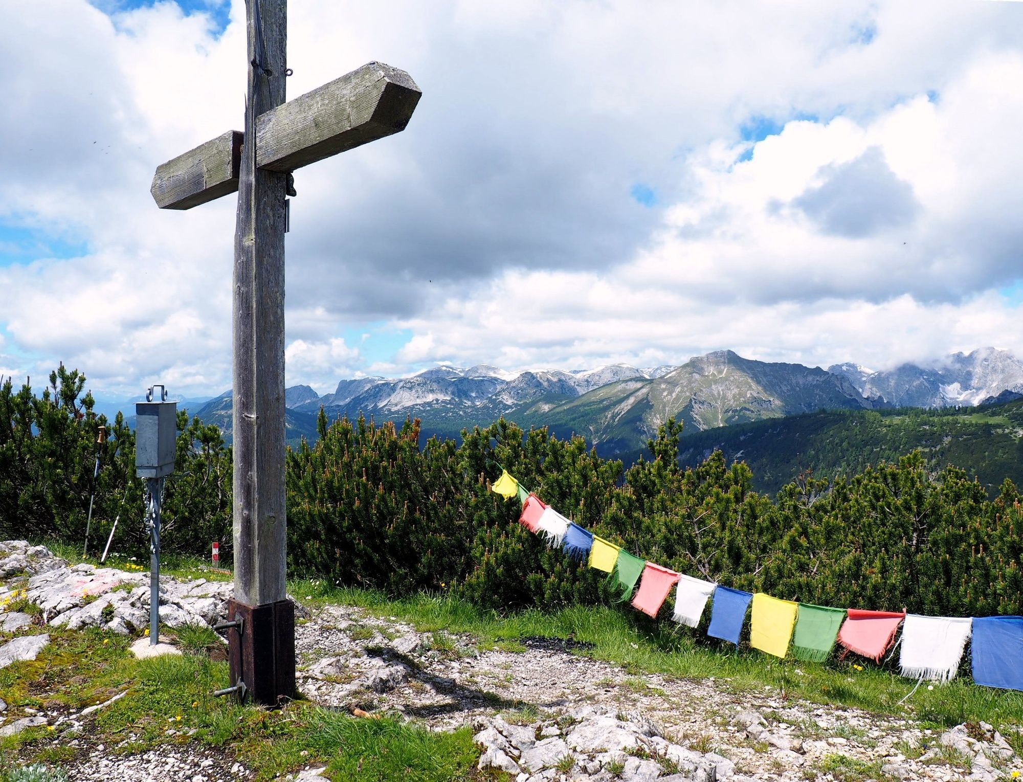
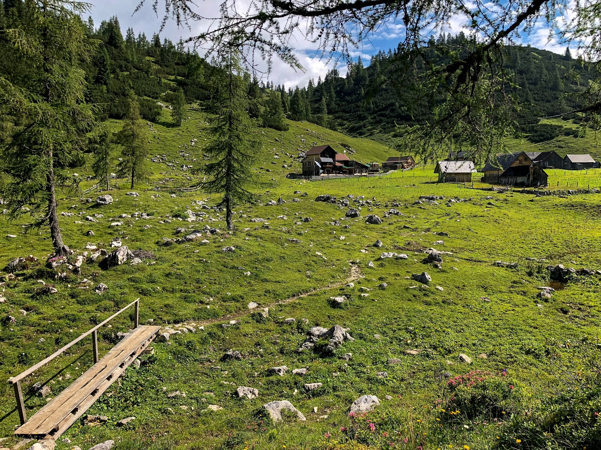
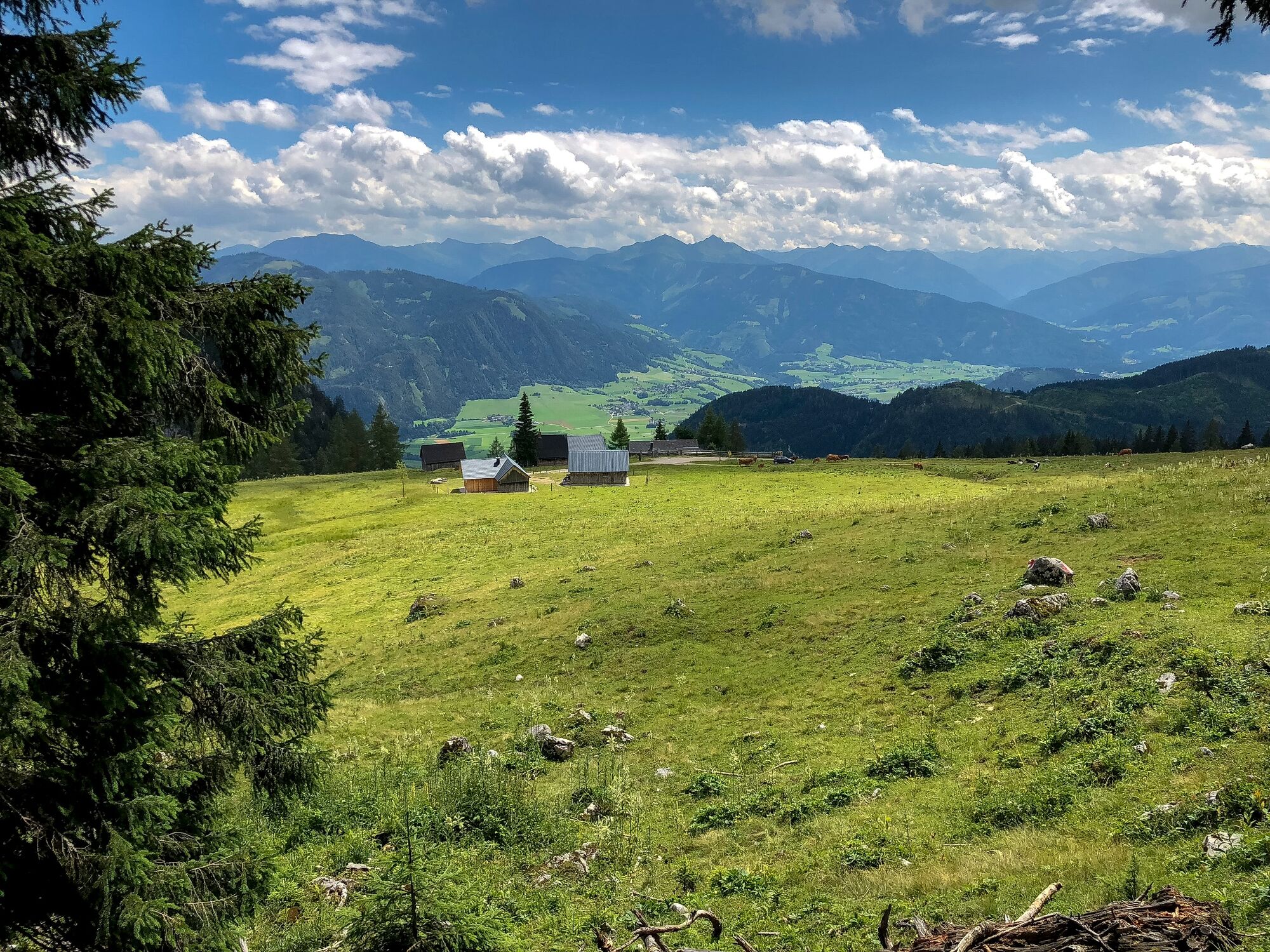
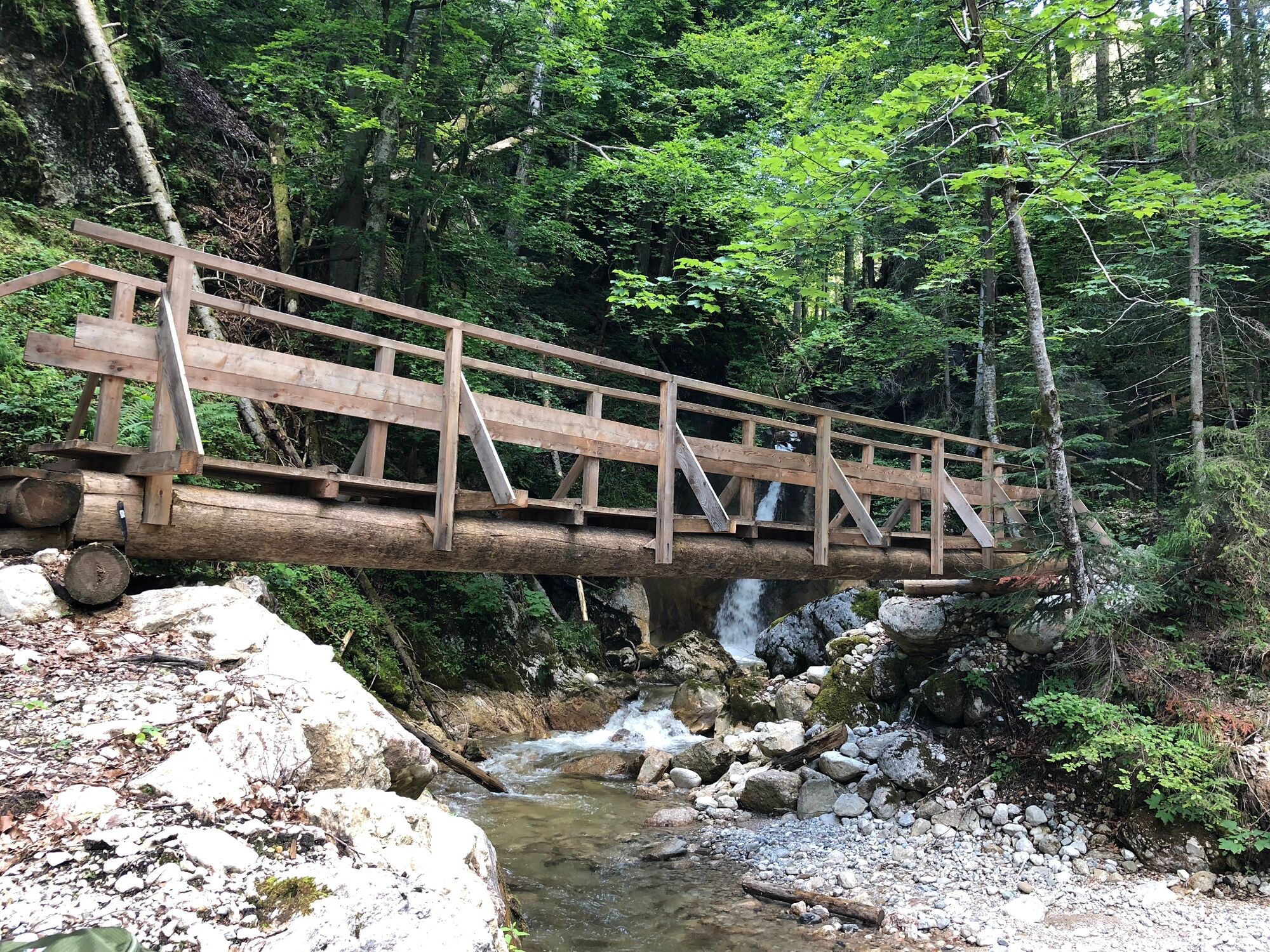
On a section of the long-distance hiking trail 09, the Salzsteig, the route leads from the Hochmölbinghütte, which is beautifully situated above the Enns Valley, all the way downhill to the tranquil village of Wörschach. The highlight of the tour is certainly the crossing of the Wörschachklamm gorge, where for millions of years the Wörschachbach stream has carved its way into the valley through the rock. At the entrance from the north we can still see old rock caves washed out by the water.
- Dificultad
-
medio
- Valoración
-
- Ruta
-
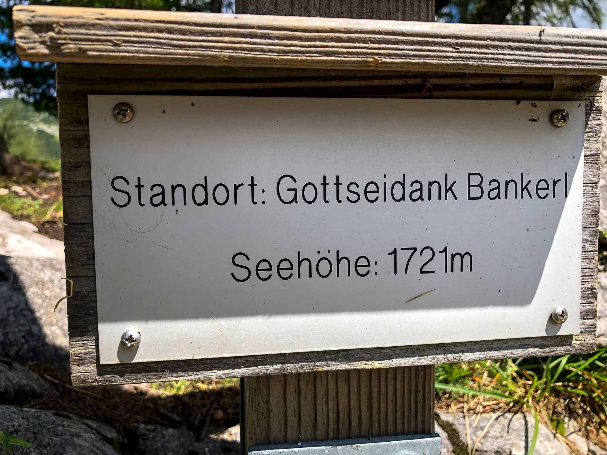
Langpoltner-Klamml (1.570 m)2,3 kmKlammstüberl10,5 kmWörschach11,2 km
- La mejor temporada
-
enefebmarabrmayjunjulagosepoctnovdic
- Punto álgido
- 1.711 m
- Punto final
-
Wörschach
- Perfil alto
-


-

-
AutorLa gira Stage 06 From Glacier to Wine North Route Hochmölbinghütte - Wörschach es utilizado por outdooractive.com proporcionado.
GPS Downloads


Información general
Punto de avituallamiento
Vistas panorámicas
Más circuitos por las regiones


