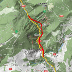
Datos del tour
28,11km
356
- 1.431m
1.426hm
506hm
06:46h

- Breve descripción
-
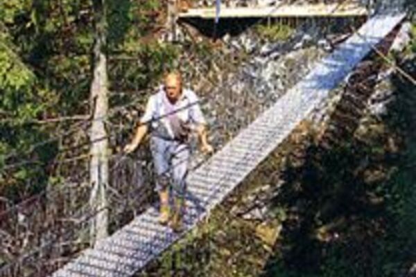
Legendäre Route für legendäre Typen
- Dificultad
-
medio
- Valoración
-
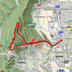
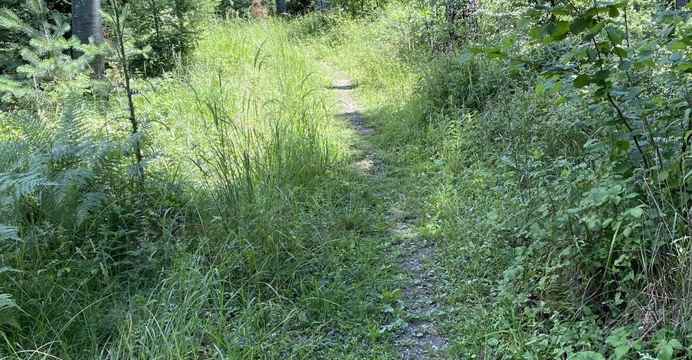
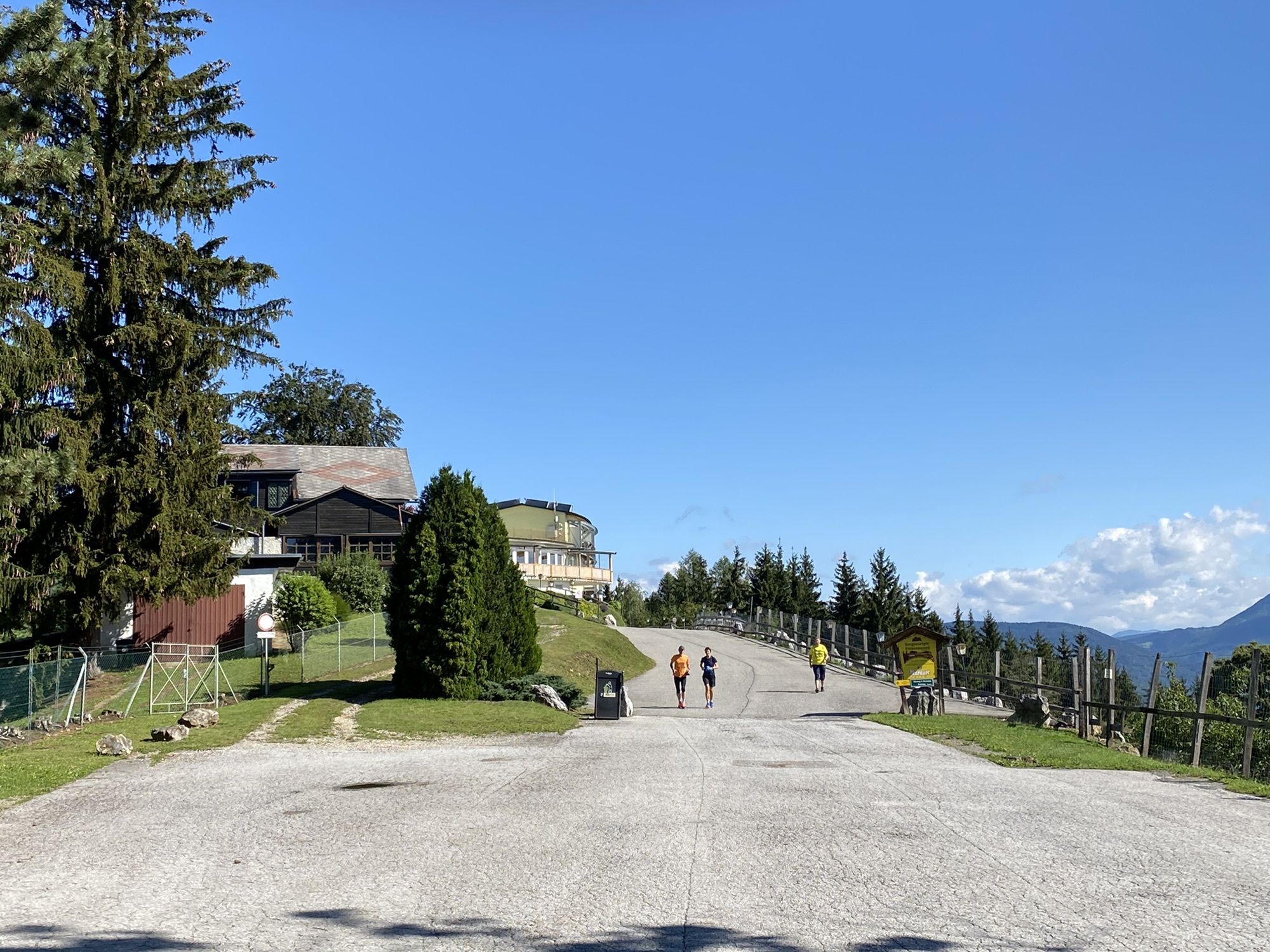
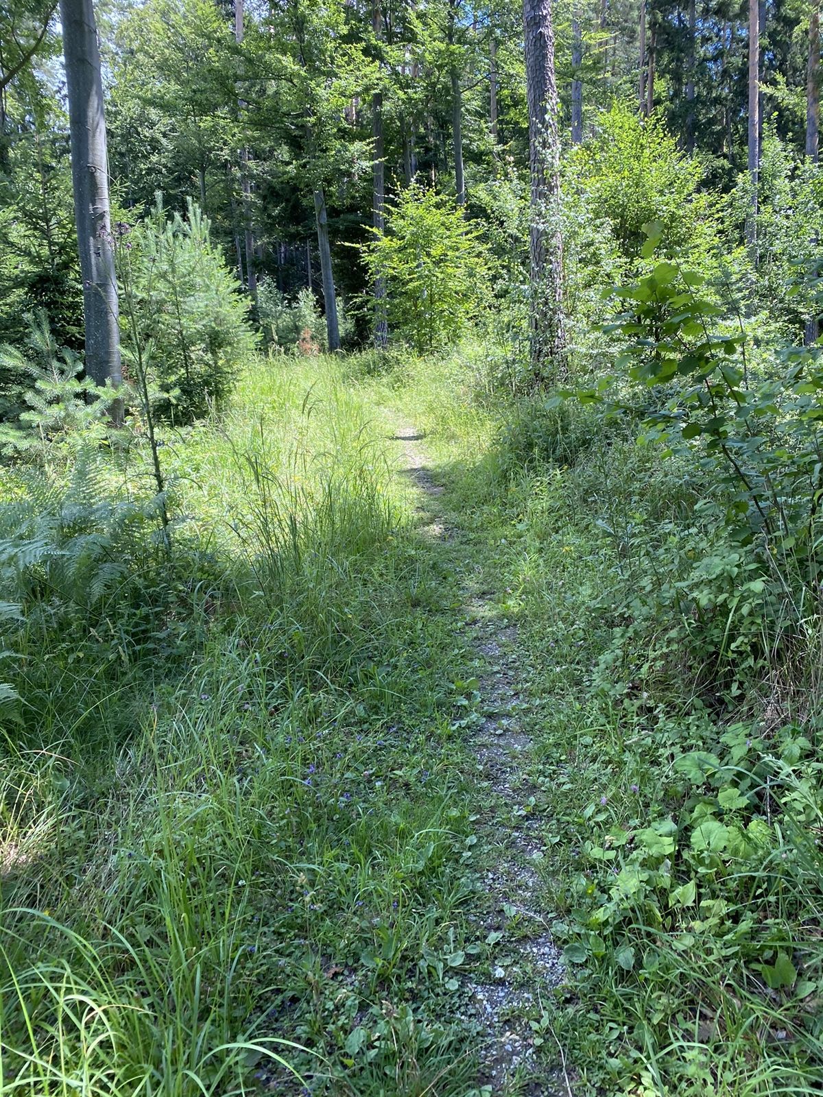
- Ruta
-
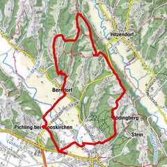
Schlosskirche Sankt Martin0,8 kmSankt Martin0,8 kmBuchkogelsattel (555 m)2,5 kmBuchkogelsattel (539 m)2,9 kmGasthaus Dorrer4,2 kmGaisbergsattel (527 m)6,0 kmMühlberg (720 m)8,8 kmFürstenstand (758 m)10,1 kmLöseranlage12,3 kmSankt Gotthard14,3 kmWinterkapelle14,8 kmPfarrkirche St. Veit15,0 kmSchirmleiten15,9 kmUrsprung17,8 kmKapelle Stattegg18,1 kmStattegg18,2 kmHuberwirt19,1 kmHub19,2 kmFuß der Leber20,3 kmJohann-Waller-Hütte26,6 kmGipfelkreuz Schöckl28,0 km
- Punto álgido
- 1.431 m


- Fuente
- Marco
GPS Downloads


Más circuitos por las regiones
-
Erlebnisregion Graz
2781
-
Graz und Region Graz
1524
-
Stattegg
757