Loserrunde über Augstsee, Loserfenster, Losergipfel und Loserhütte

Senderismo


Datos del tour
4,69km
1.497
- 1.839m
467hm
467hm
02:11h
- Breve descripción
-
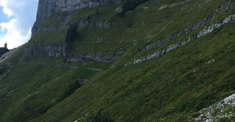
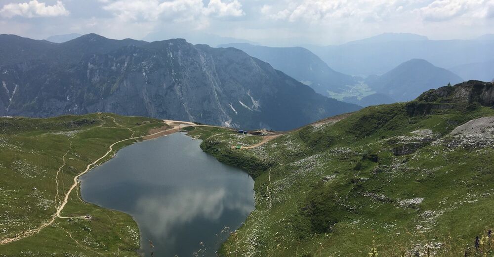
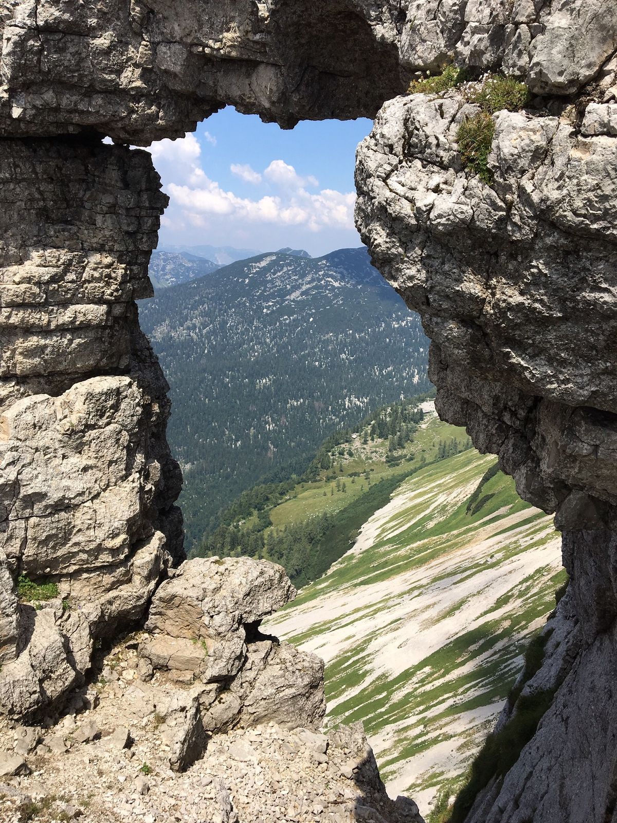
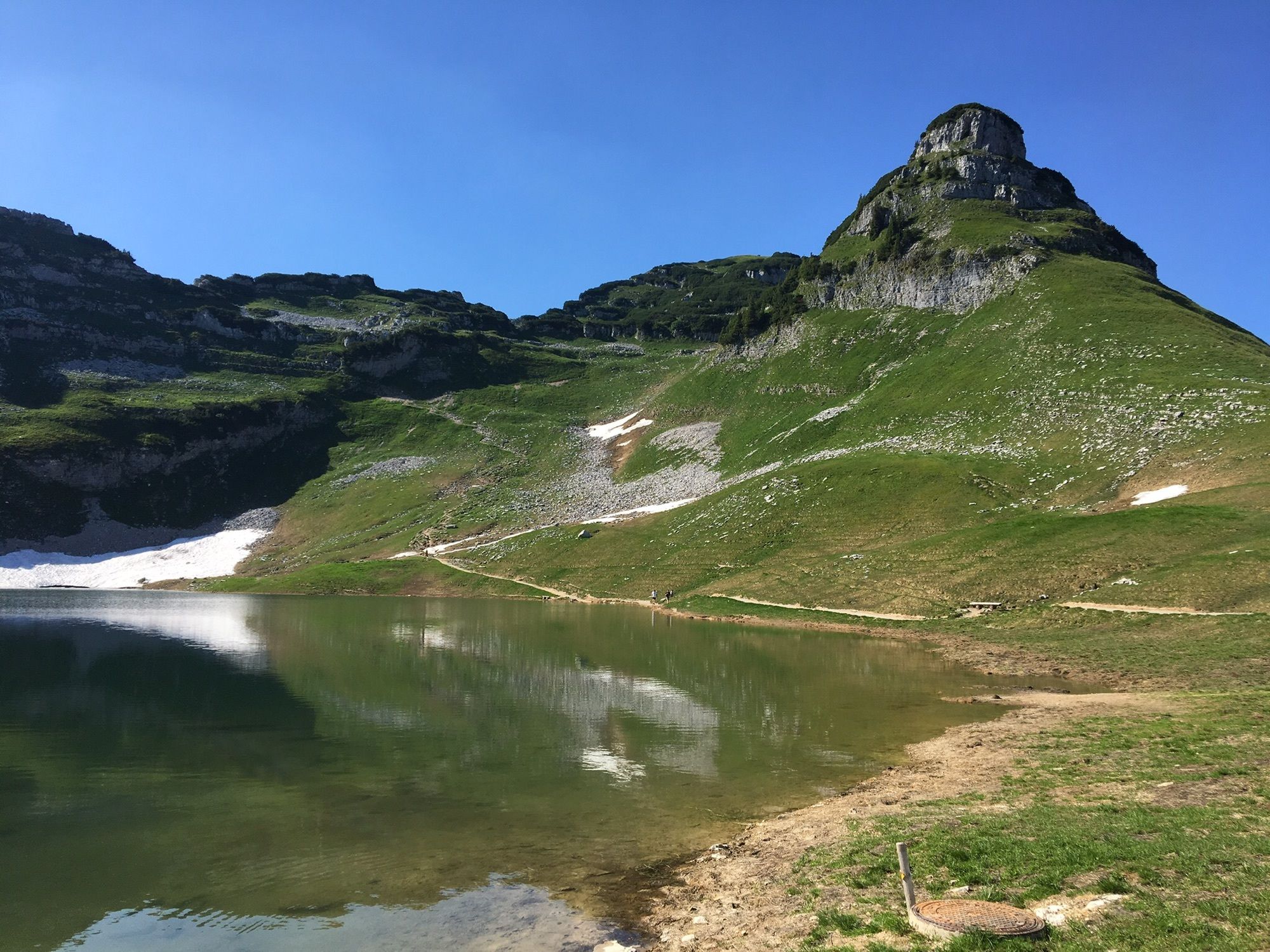
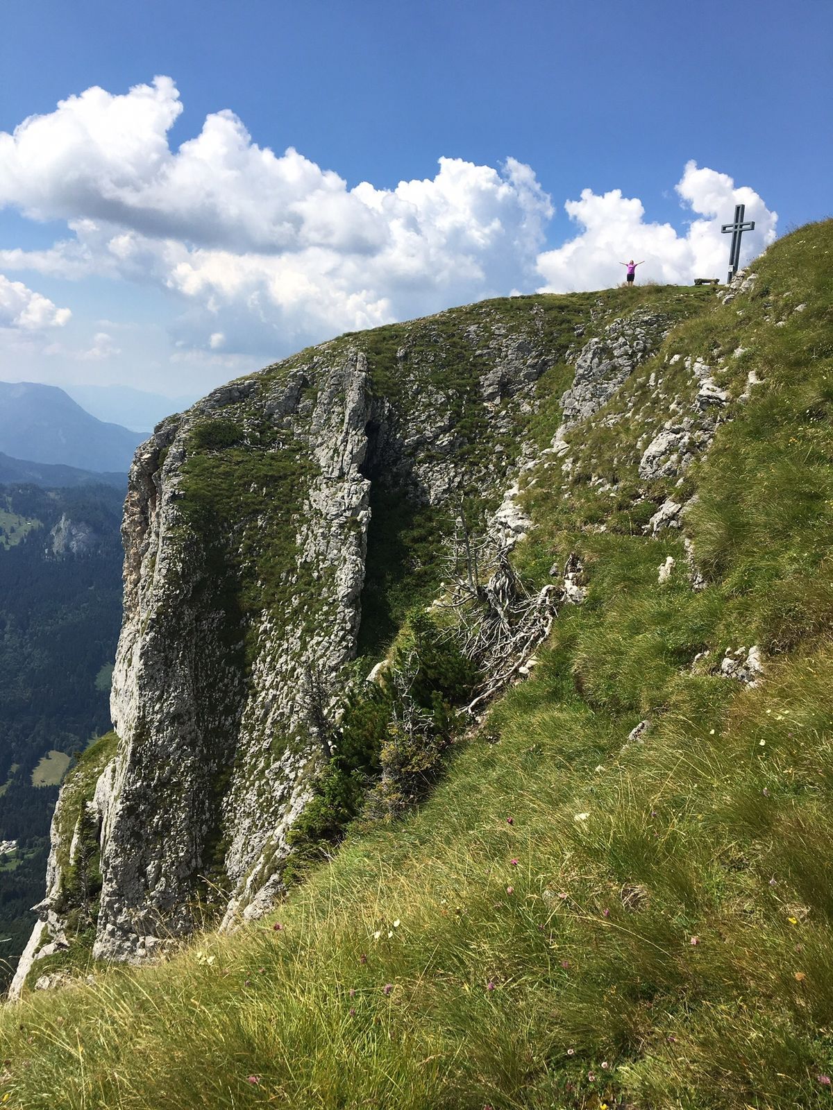
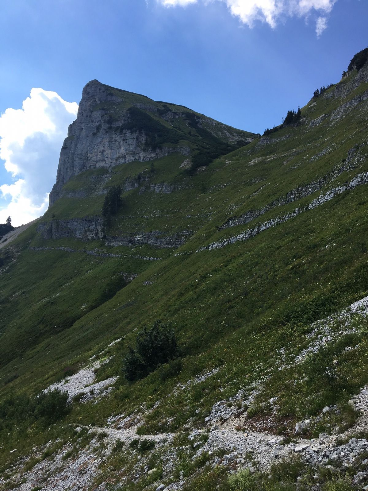
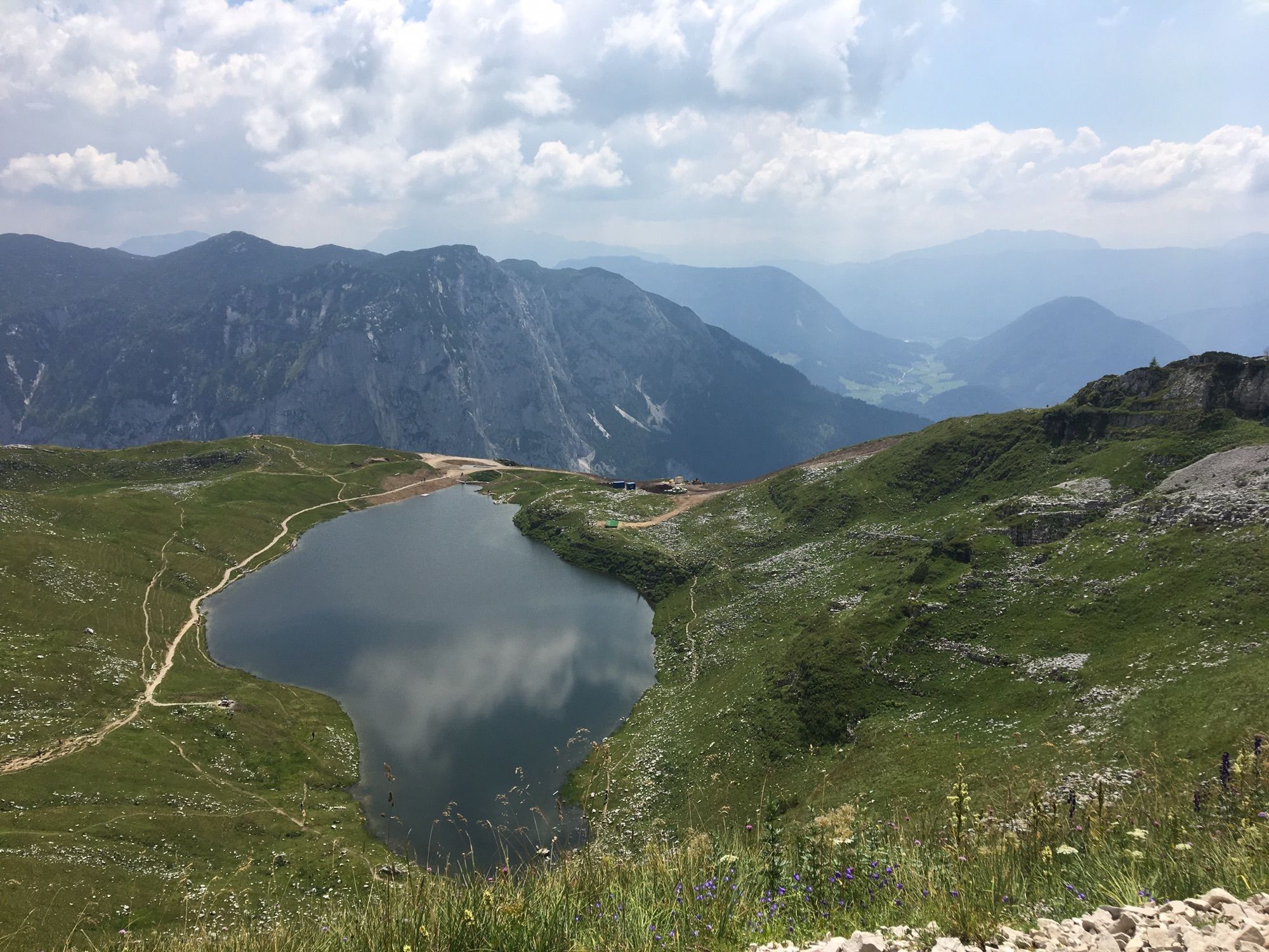
Durchaus anspruchsvolle Wanderung über Augstsee, Loserfenster, Hochanger, Losergipfel und Loserhütte. Gutes Schuhwerk dringend erforderlich!
- Dificultad
-
medio
- Valoración
-
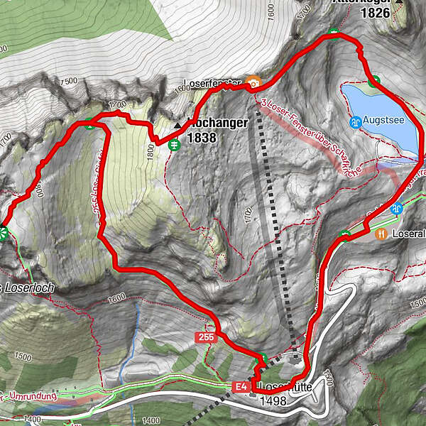
- Ruta
-
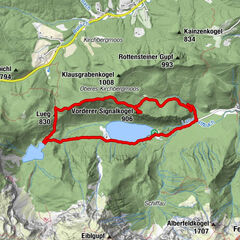
Loseralm0,0 kmLoserfenster1,1 kmHochanger1,2 kmHochanger (1.837 m)1,5 kmLoser (1.837 m)2,3 kmSechserfleck3,5 kmLoserhütte (1.498 m)4,0 kmDimmelwand4,5 kmLoseralm4,7 km
- La mejor temporada
-
enefebmarabrmayjunjulagosepoctnovdic
- Punto álgido
- 1.839 m
GPS Downloads


Más circuitos por las regiones
-
Ausseerland - Salzkammergut
3382
-
Bad Ischl
1646
-
Altaussee - Loser
293