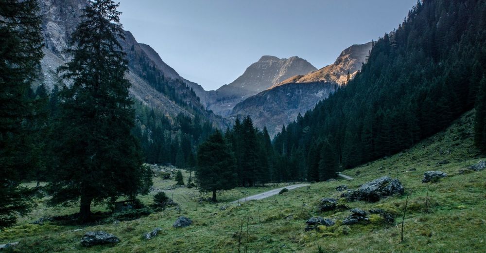
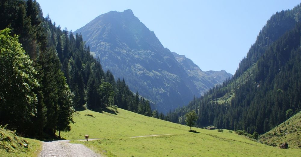
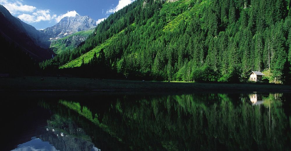
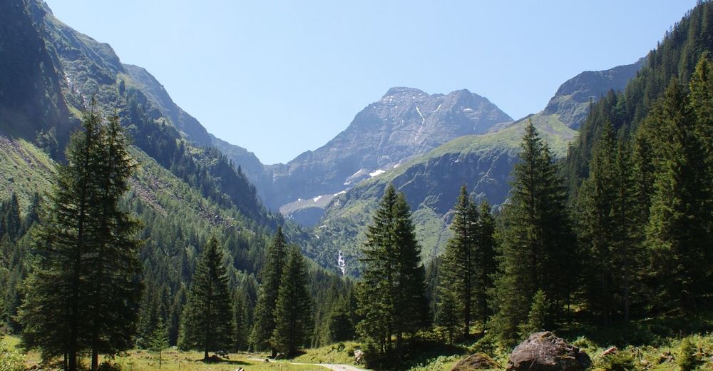
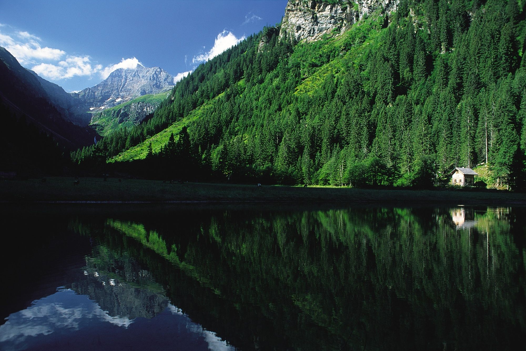
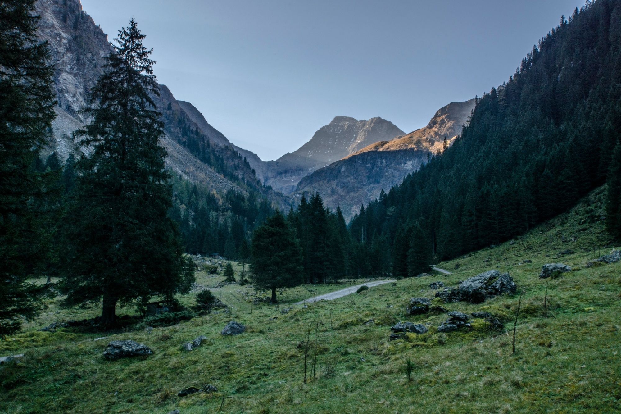
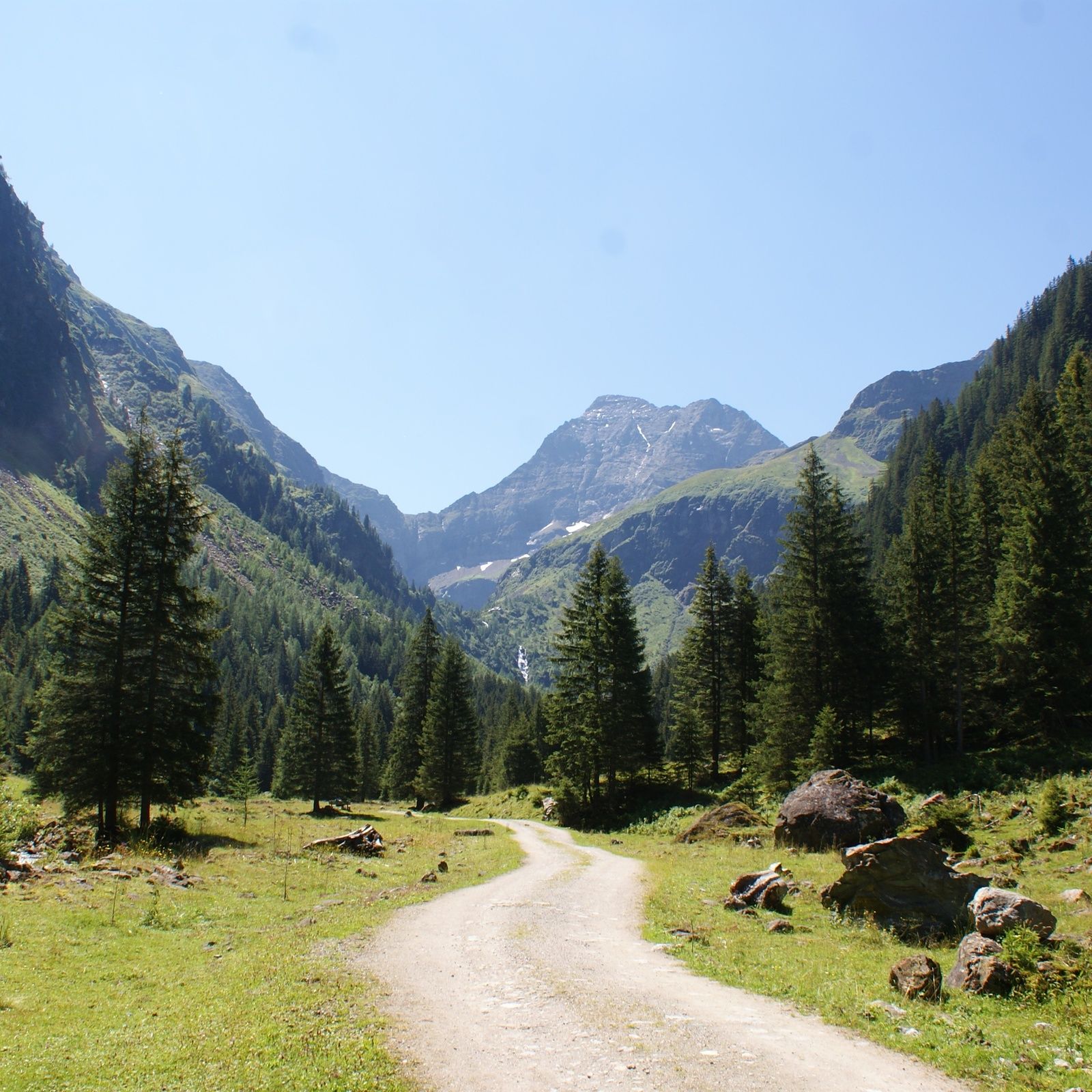
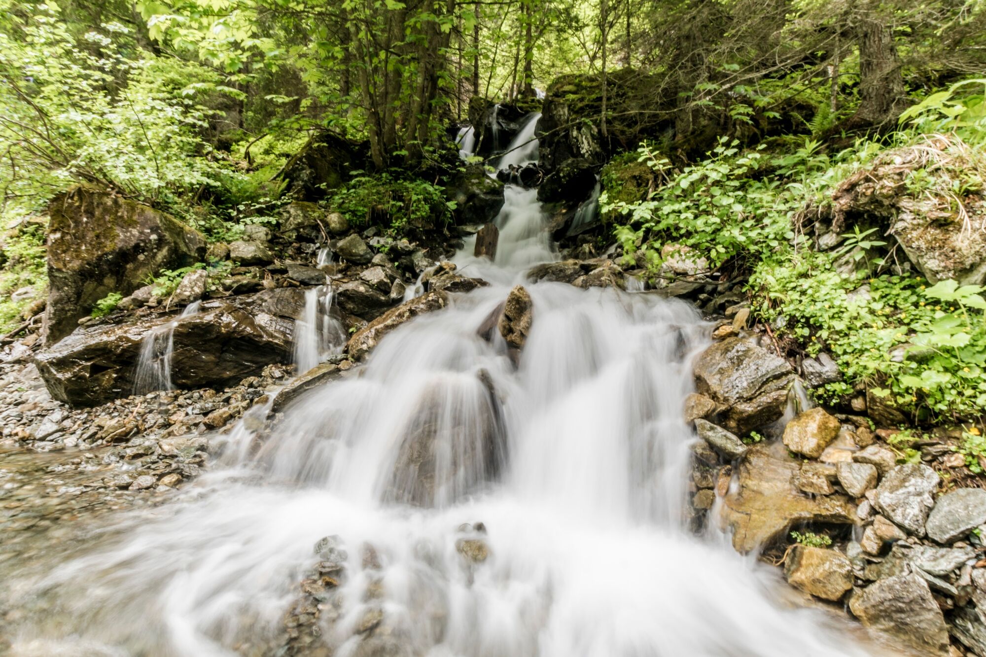
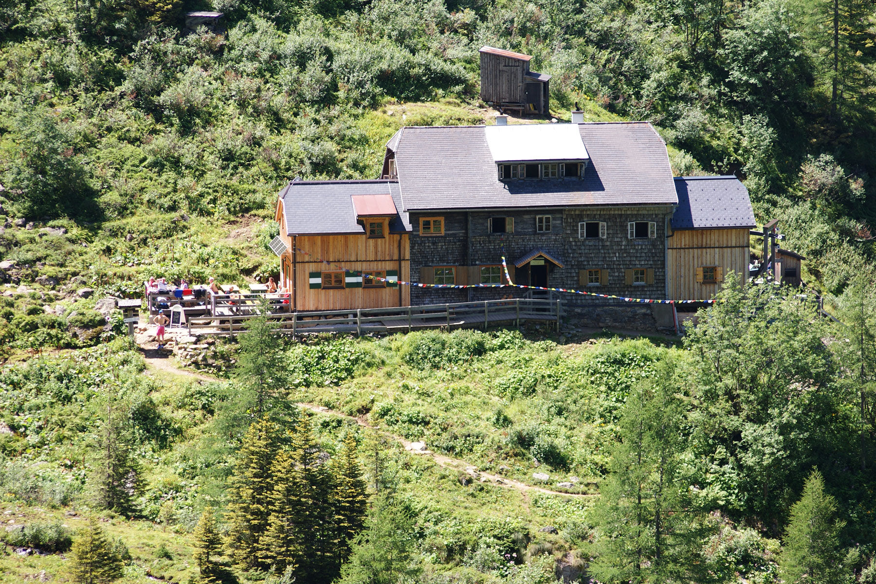
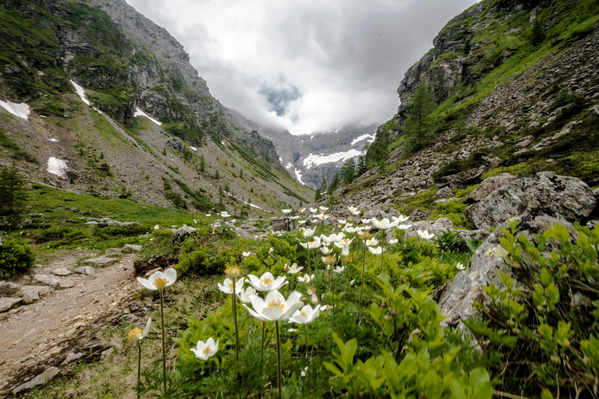
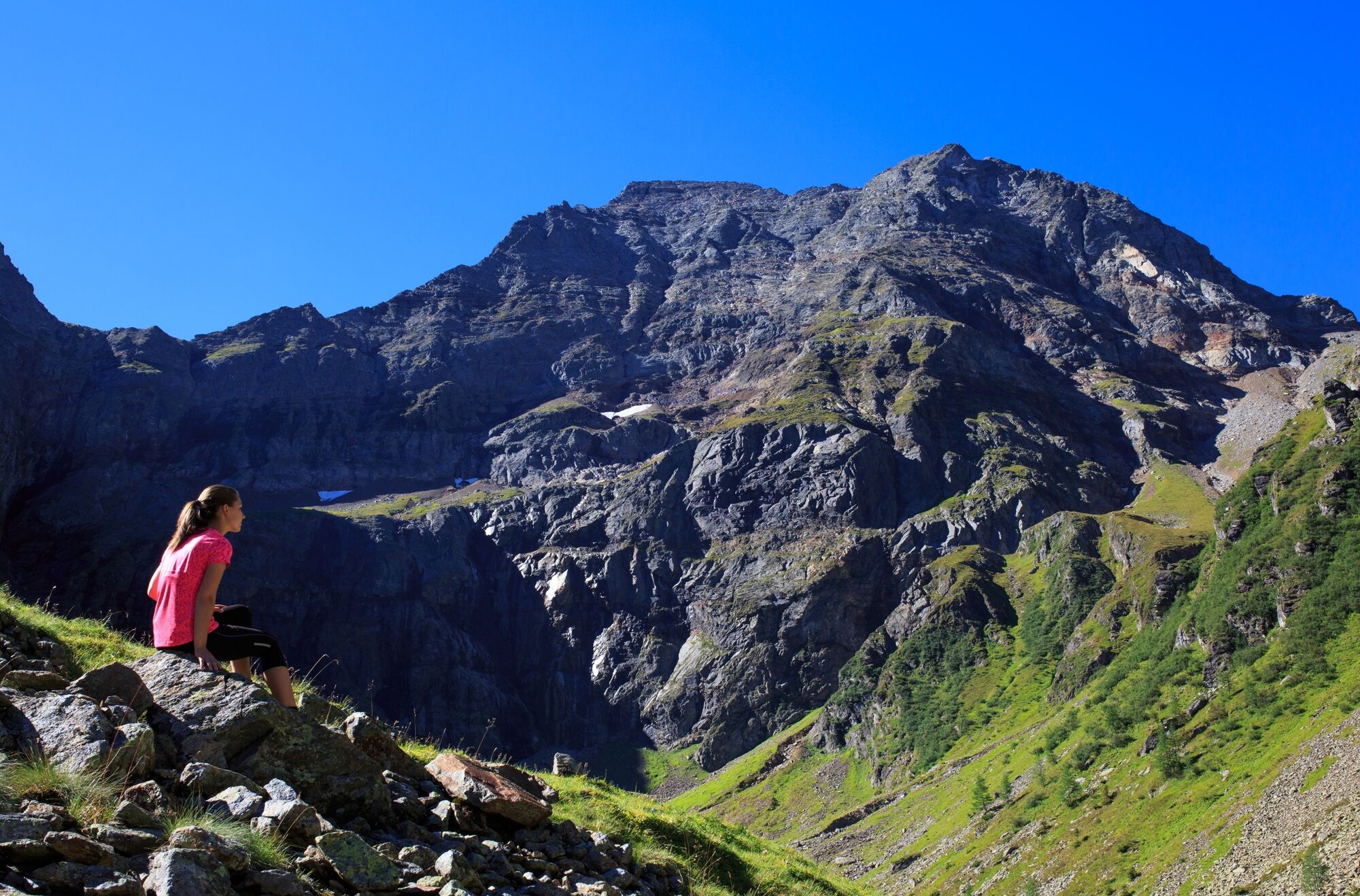
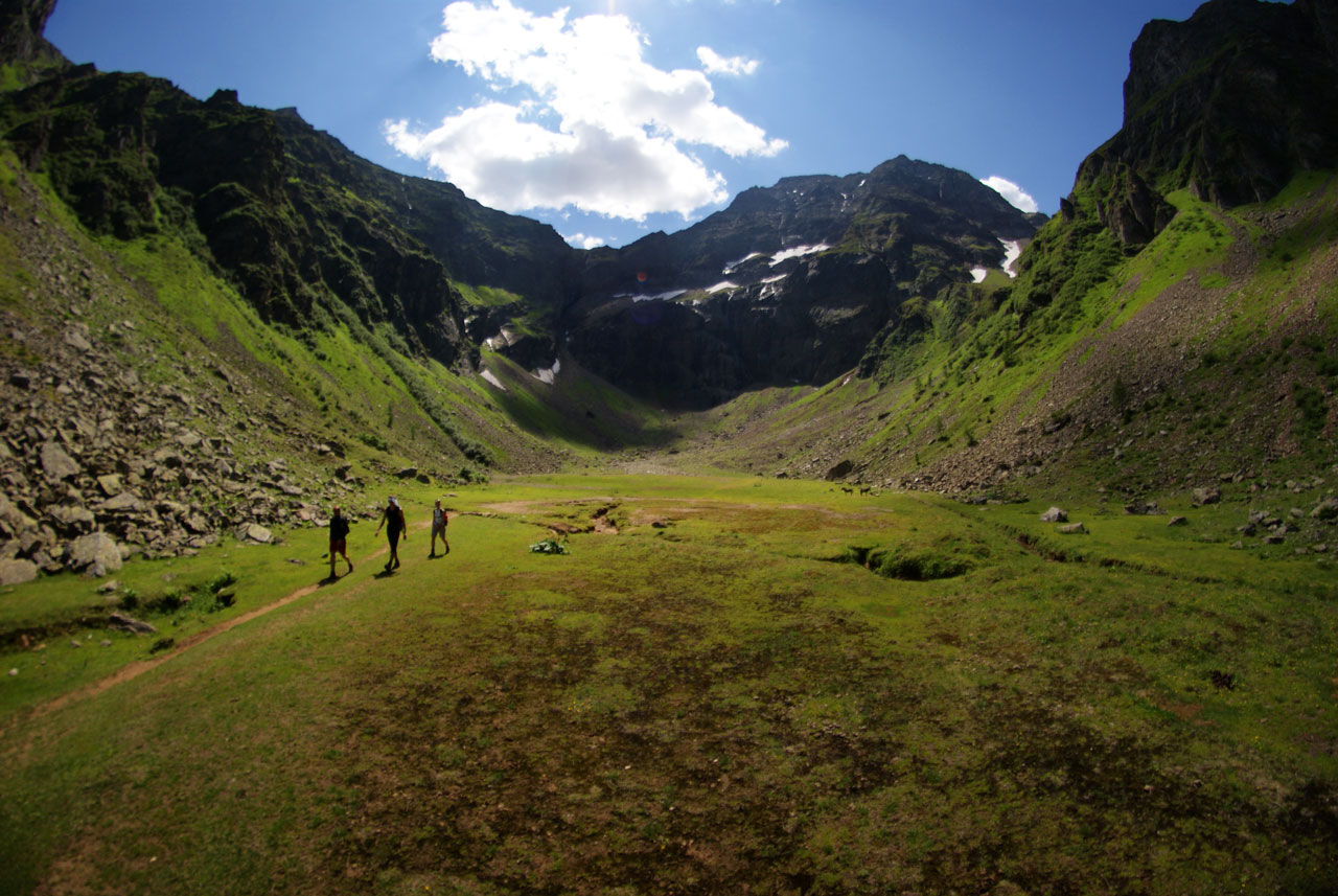
Gollinghütte chalet and Gollingwinkel in Steinriesental valley

Senderismo
© Gerhard Pilz
© Gerhard Pilz
© Herbert Raffalt - Gerhard Pilz
© Gerhard Pilz

© Gerhard Pilz - www.gpic.at - Gerhard Pilz

© Tourismusverband Schladming - Gerhard Pilz - Gerhard Pilz

© Gerhard Pilz - www.gpic.at - Gerhard Pilz

© Gerhard Pilz - www.gpic.at - Gerhard Pilz

© Gerhard Pilz - www.gpic.at - Gerhard Pilz

© Gerhard Pilz - www.gpic.at - Gerhard Pilz

- Breve descripción
-
This family-friendly hike takes you through the Steinriesental valley to Gollinghütte chalet and the "place of the gods" - Gollingwinkel.
- Dificultad
-
medio
- Valoración
-
- Ruta
-
Gasthof Zum Riesachfall0,1 kmKleiner Riesachfall0,2 kmehem. Untere Stegeralm4,5 kmGollinghütte (1.642 m)5,4 kmGollingwinkel6,6 kmObere Steinwenderalm6,6 kmehem. Untere Stegeralm8,4 kmUntere Steinwenderalm (1.218 m)10,8 kmGroßer Riesachfall12,7 kmKleiner Riesachfall12,9 kmGasthof Zum Riesachfall13,2 km
- La mejor temporada
-
enefebmarabrmayjunjulagosepoctnovdic
- Punto álgido
- 1.716 m
- Punto final
-
Gollingwinkel
- Perfil alto
-


-

-
AutorLa gira Gollinghütte chalet and Gollingwinkel in Steinriesental valley es utilizado por outdooractive.com proporcionado.
GPS Downloads


Información general
Punto de avituallamiento
Vistas panorámicas
Más circuitos por las regiones
-
Schladming - Dachstein
3015
-
Schladming - Rohrmoos
1493
-
Haus im Ennstal
374


