Datos del tour
12,6km
628 - 1.771m
Distancia
1.167hm
1.161hm
Ascenso
09:30h
 
Duración
Breve descripción

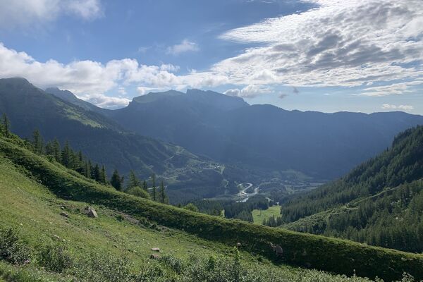
Vom Leopoldsteiner See auf den Hochblaser, über Kaltmauer und Eisenerzer Höhe in die Seeau und zurück zum See.

Dificultad
difícil
Valoración
Técnica
Nivel
Paisaje
Experiencias
Punto álgido
Hochblaser (1.771 m)

1,0
Valoración global

5

0

%

4

0

%

3

0

%

2

0

%

1

100

%

GPS Downloads
  • GPX GPS Exchange Format (XML)
  • KML Google Earth, Google Maps
Códigos de descarga QR para teléfonos móviles
Más circuitos por las regiones

Excursiones opcionales por los alrededores

Johnsbacher Almenrunde

fácil Senderismo
10,23km | 442hm | 03:45h

Leobner Mauer

Senderismo
11,98km | 791hm | 05:00h

Eisenerzer Reichenstein

medio Senderismo
8,94km | 919hm | 03:26h

Hochtor

difícil Senderismo
13,2km | 1550hm | 07:30h