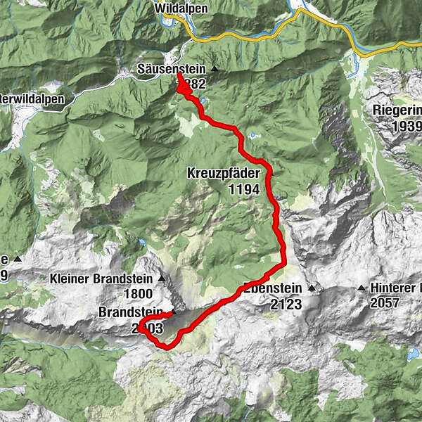
WILDALPEN Schafhalssattel Brandstein retour 20191018

Senderismo
© hel
© hel
© hel
© hel
© hel
© hel
© hel
© hel
© hel
© hel
Datos del tour
25,4km
688
- 2.003m
1.455hm
1.455hm
10:00h
- Breve descripción
-
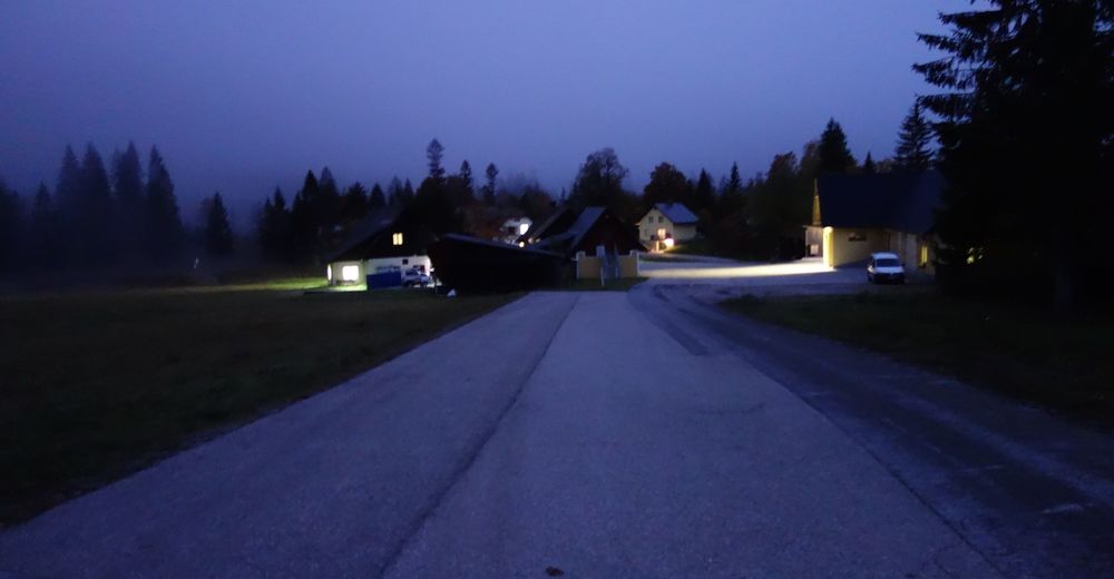
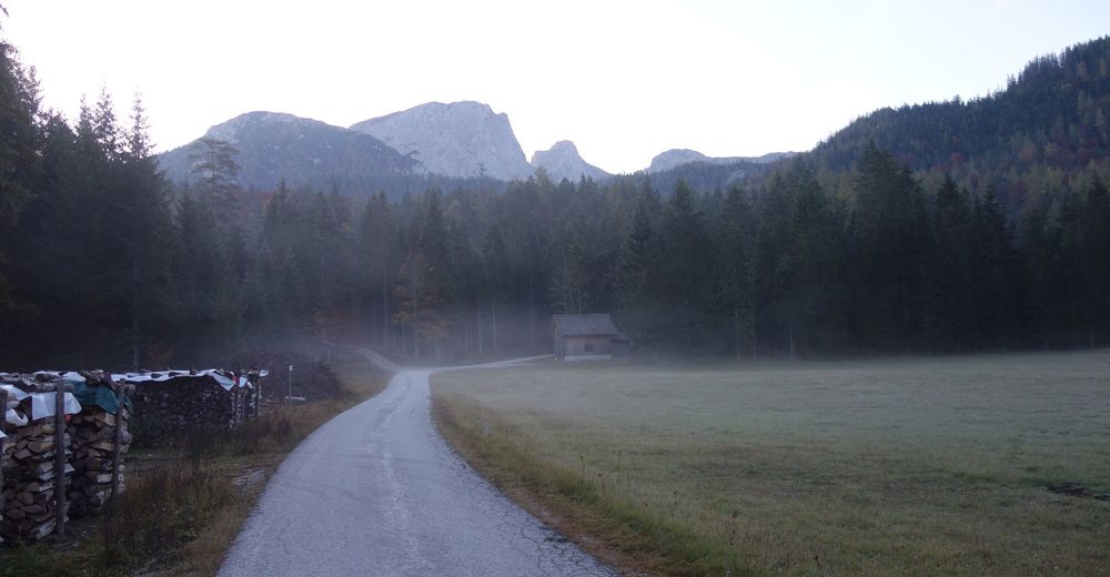
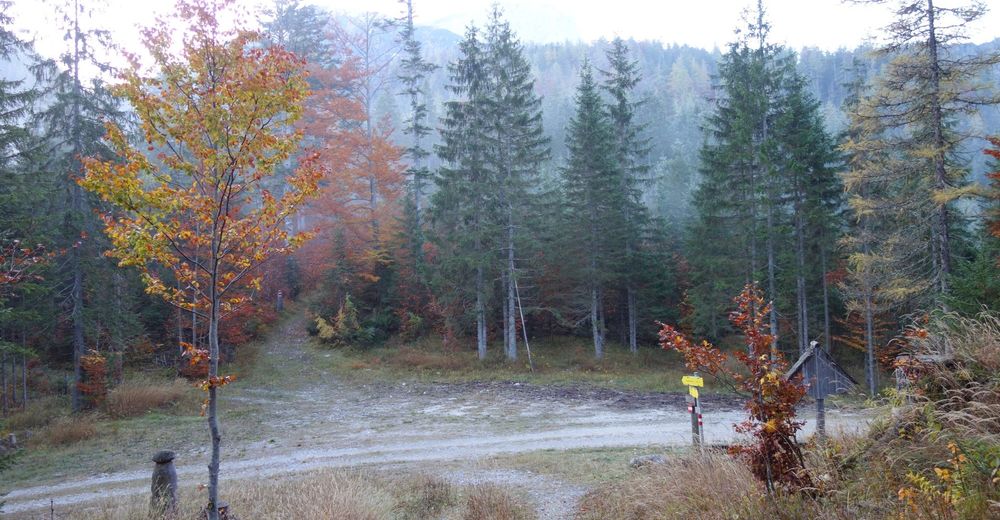
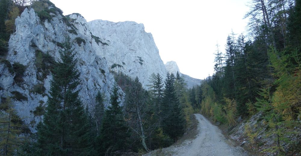
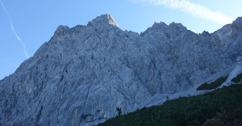
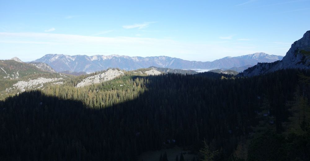
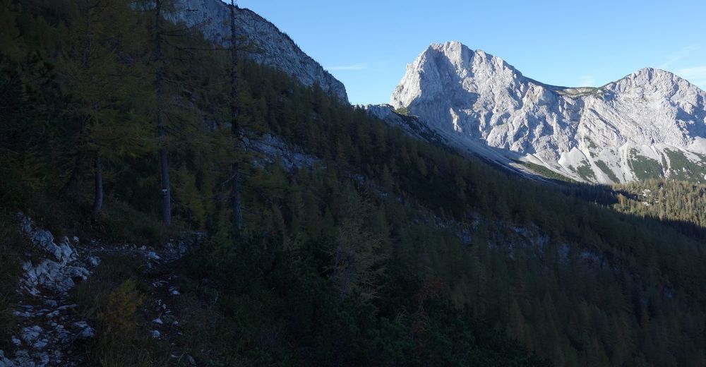
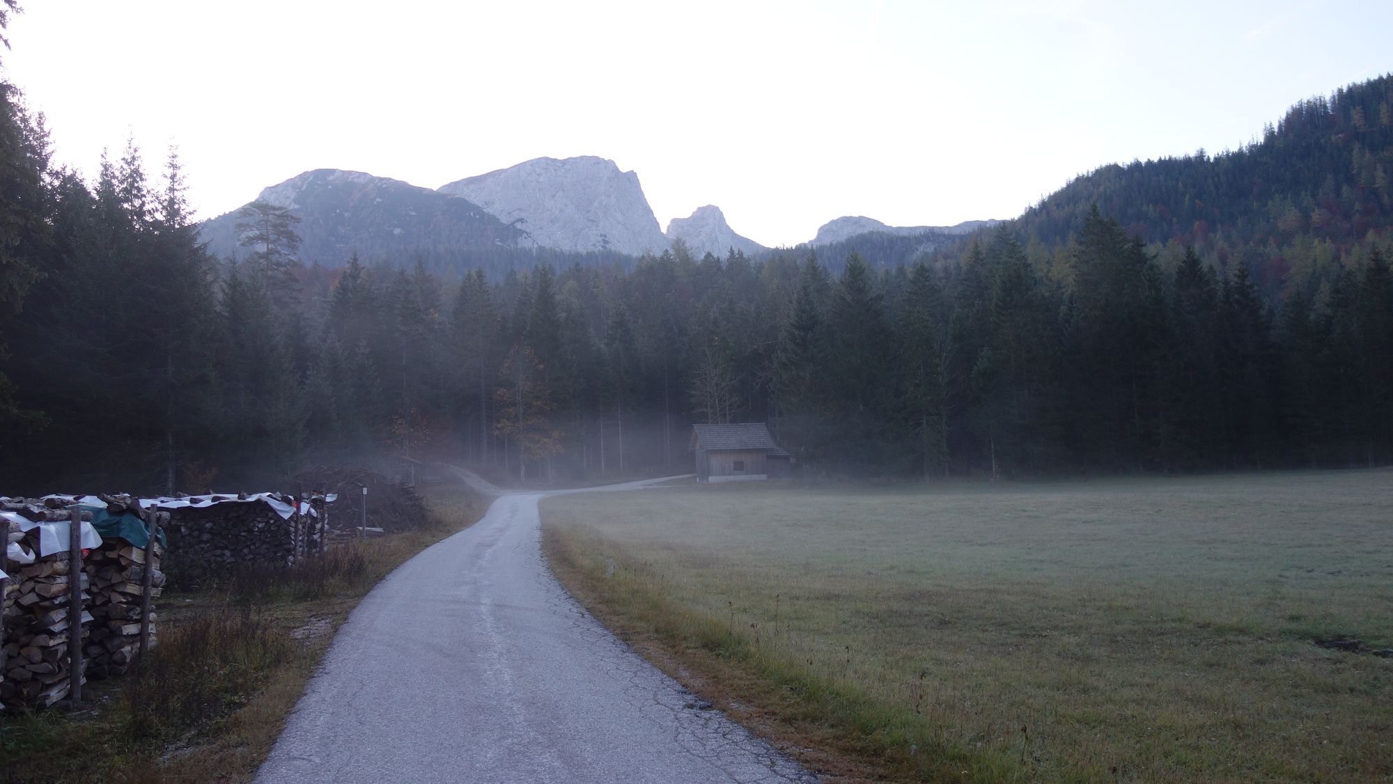
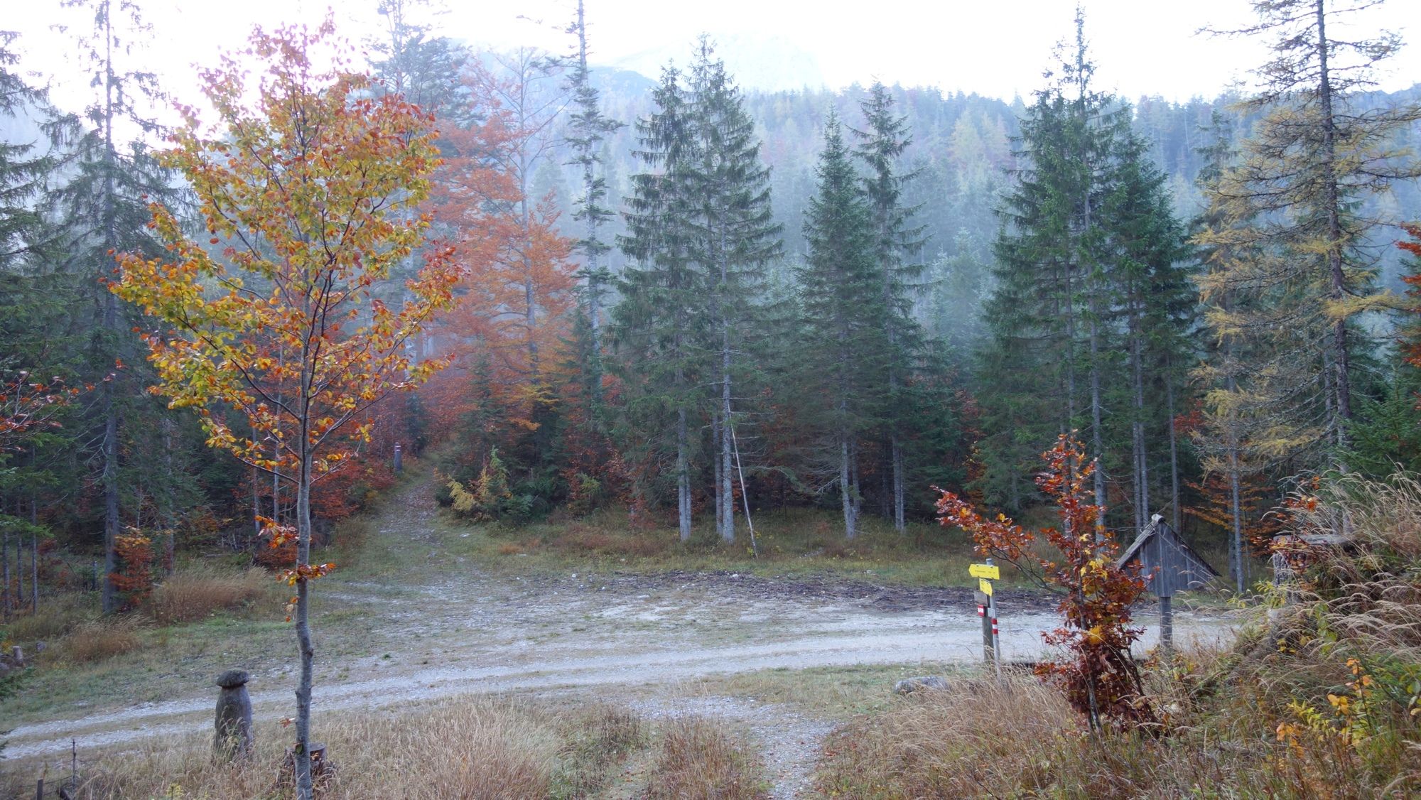
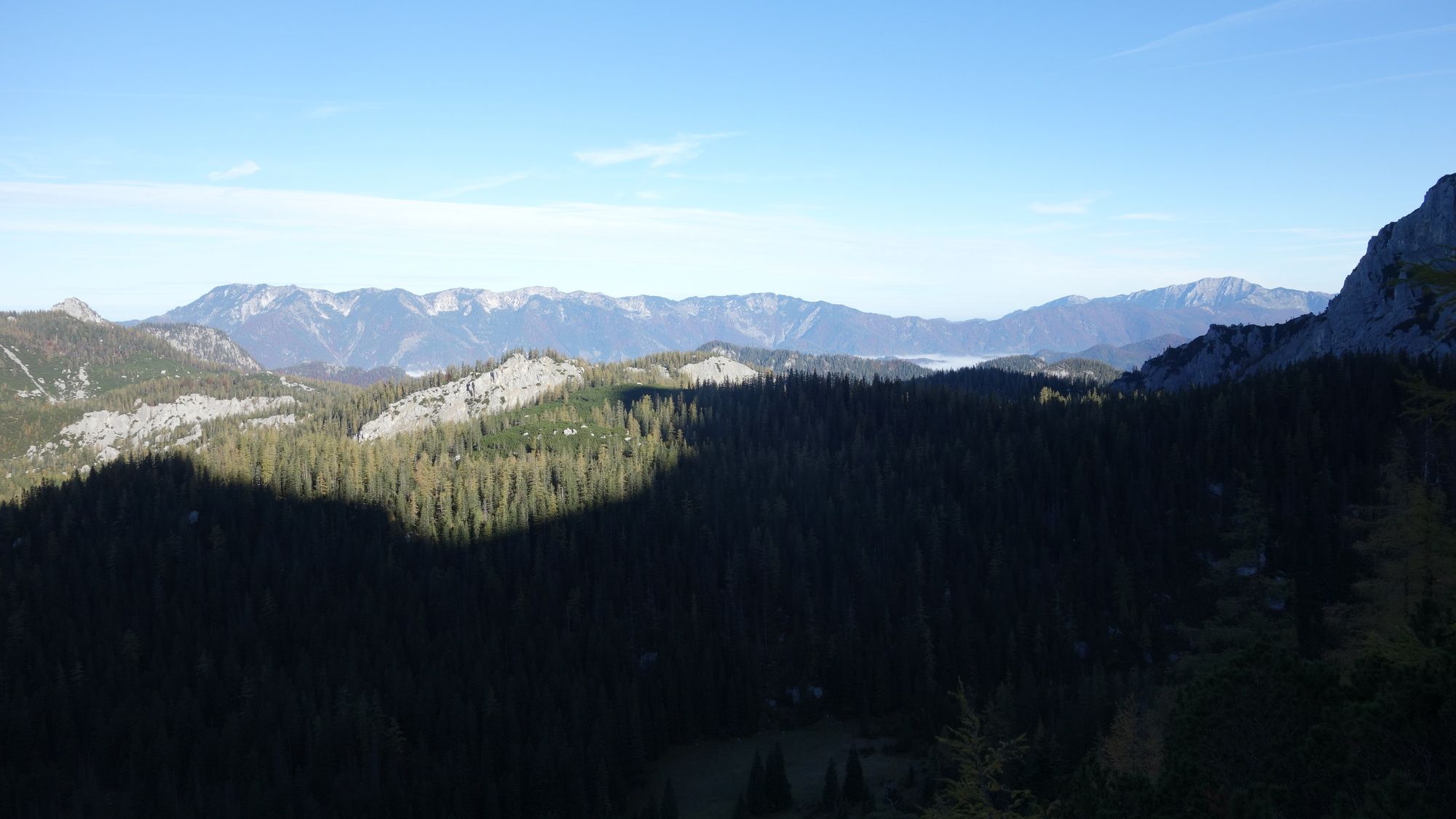
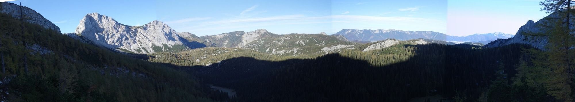
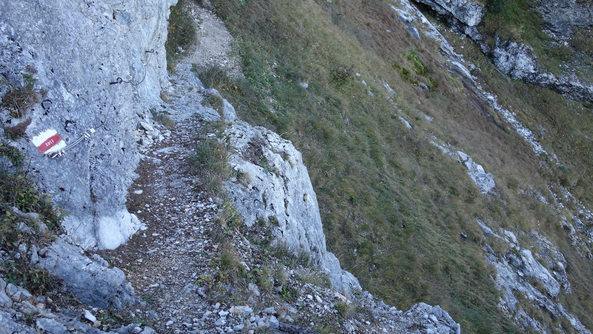
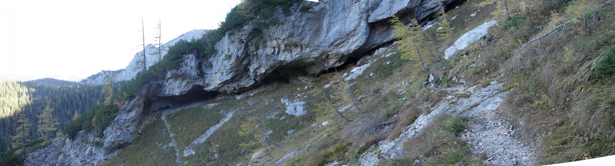
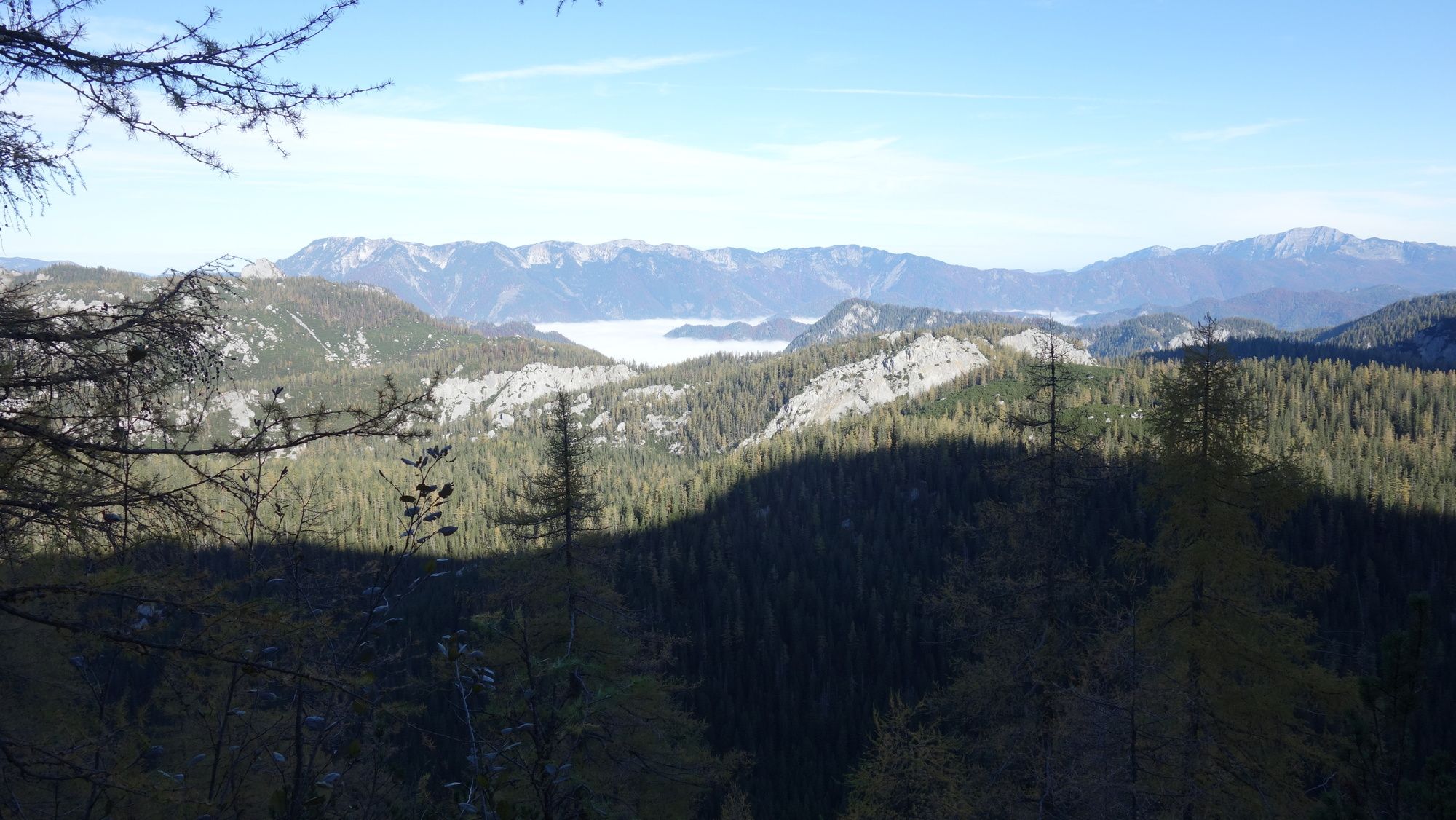
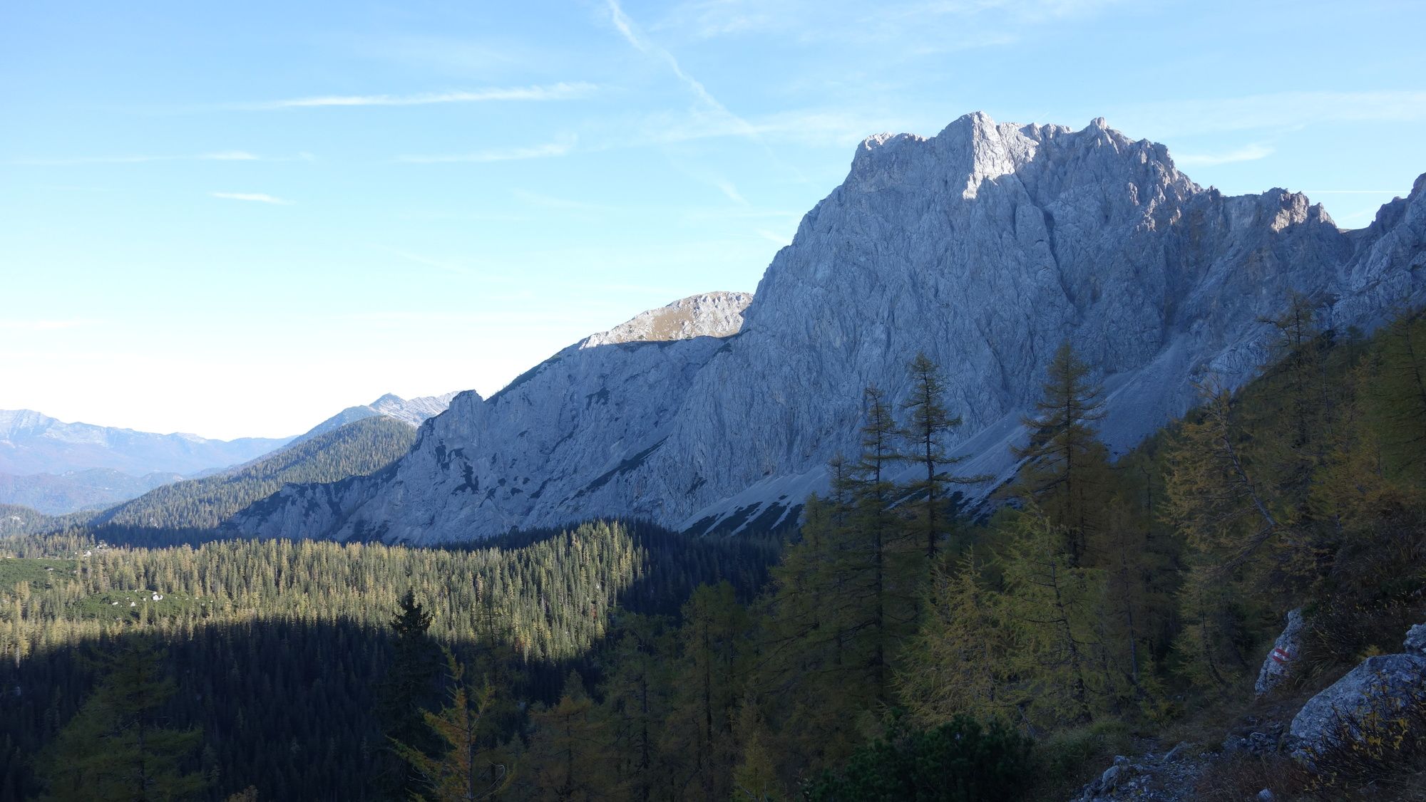
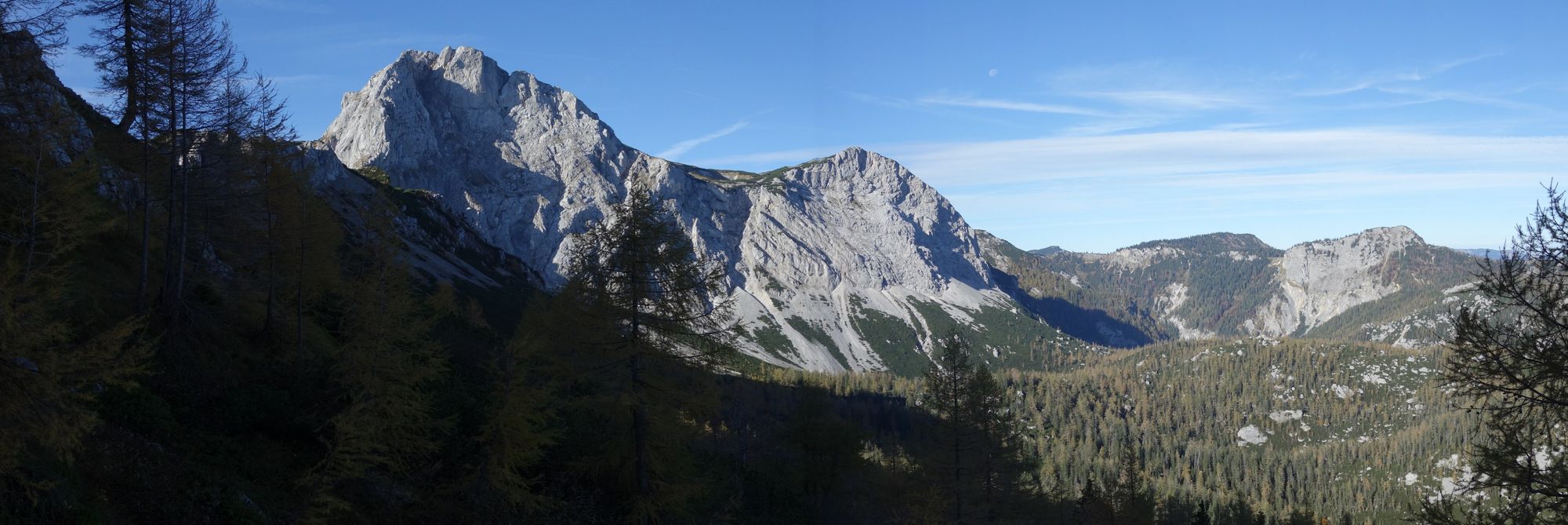
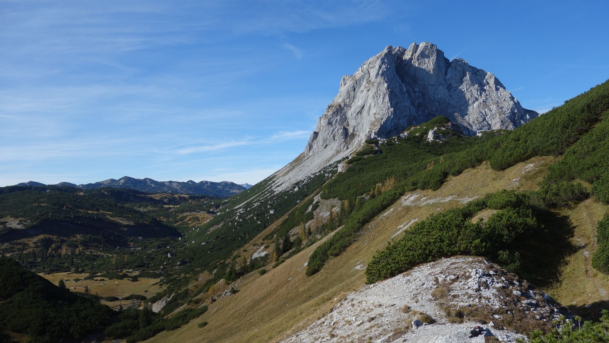
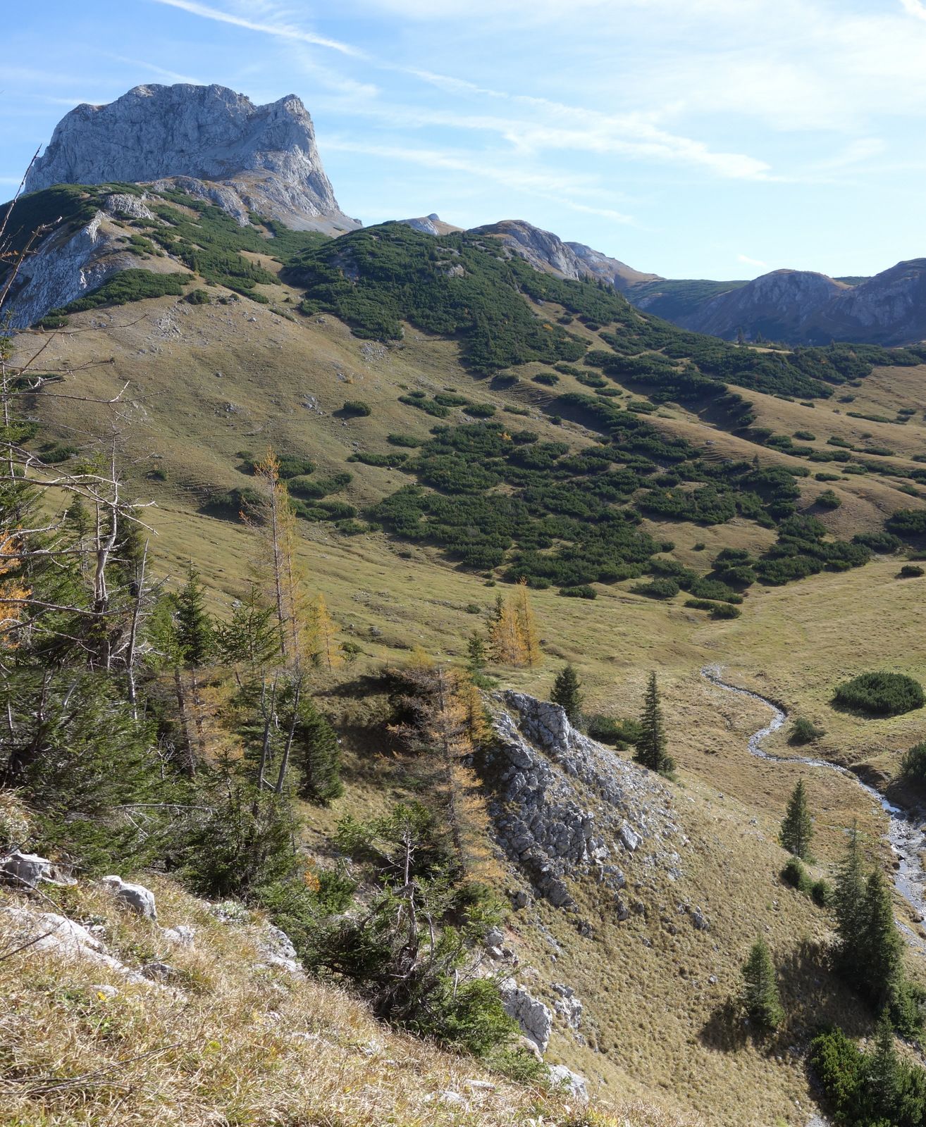
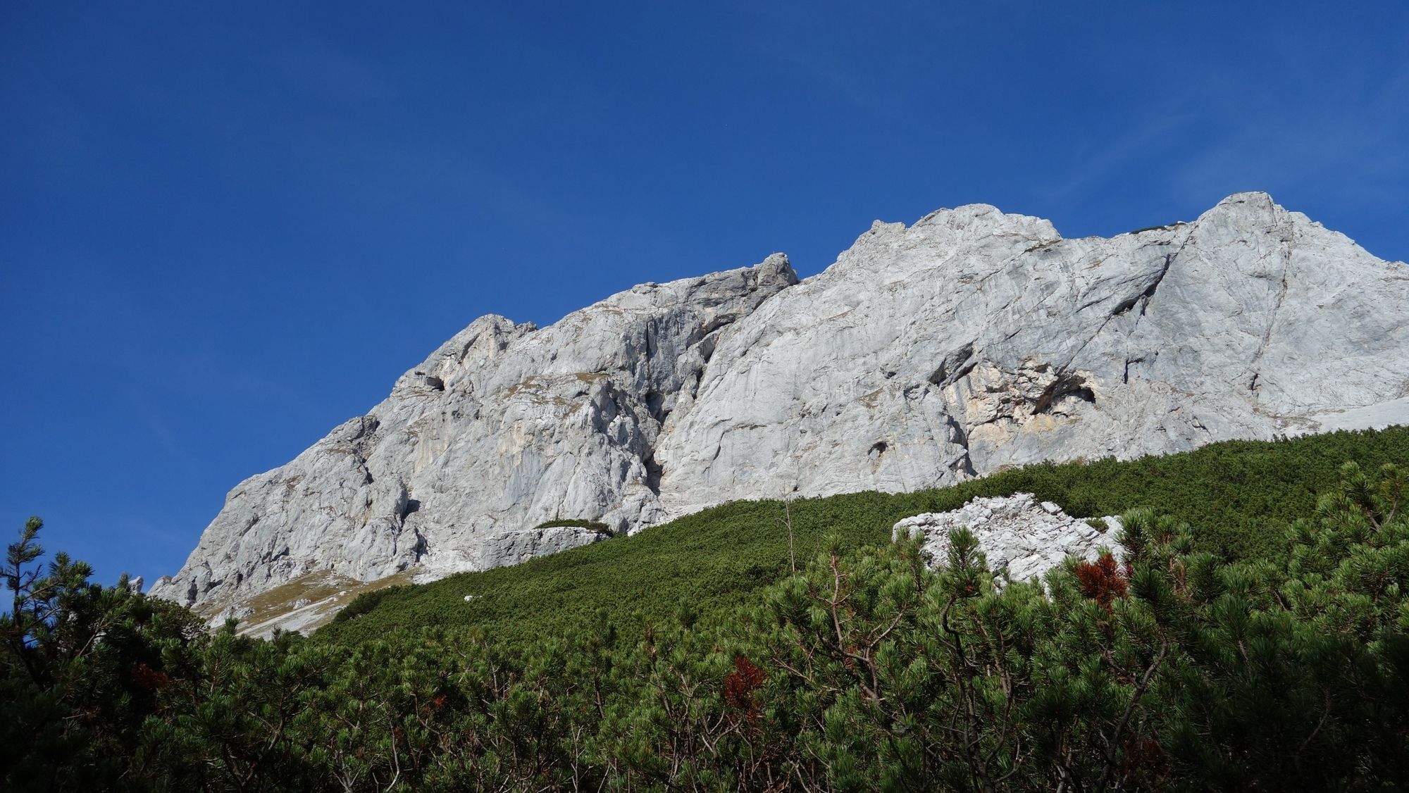
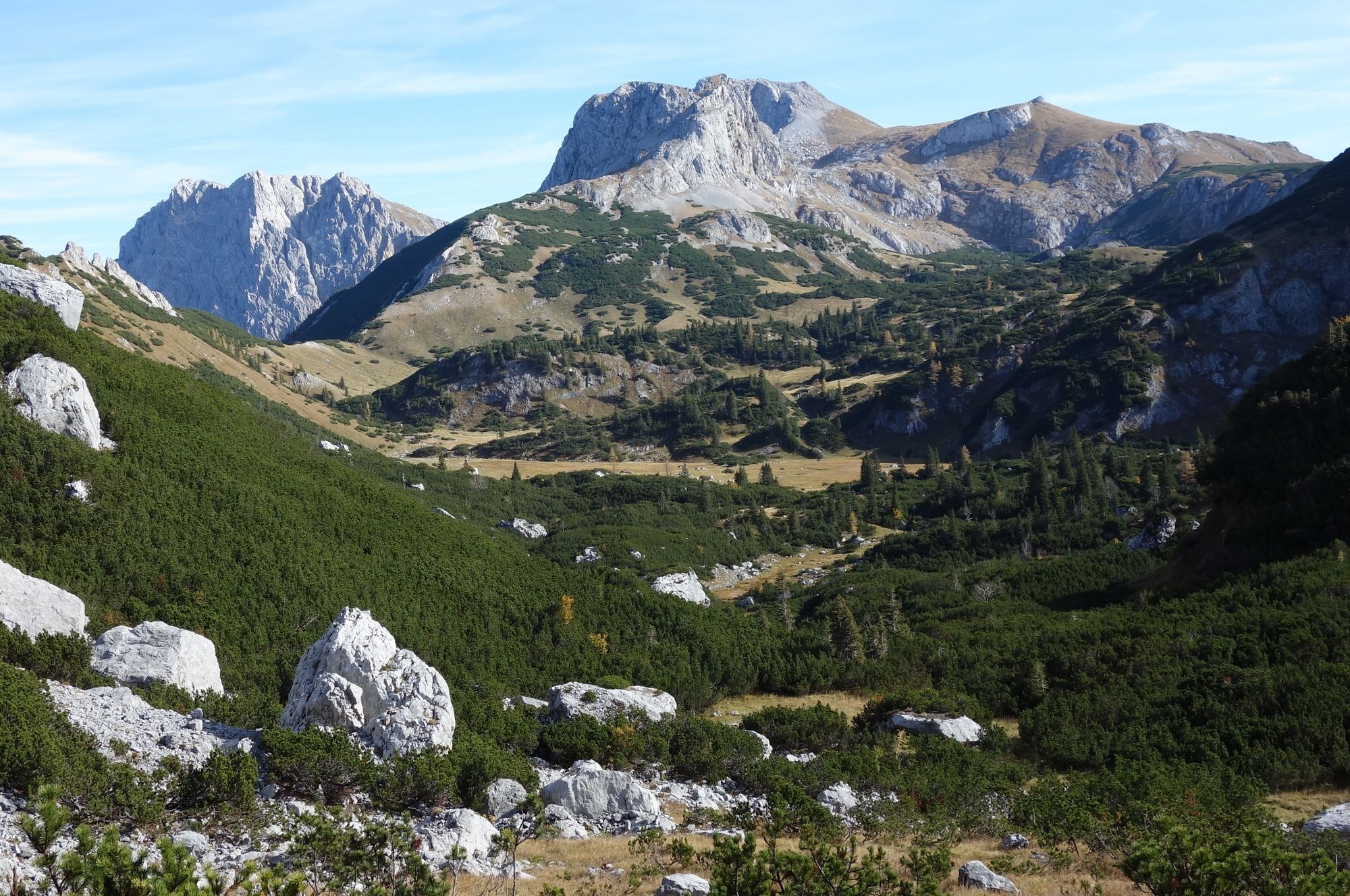
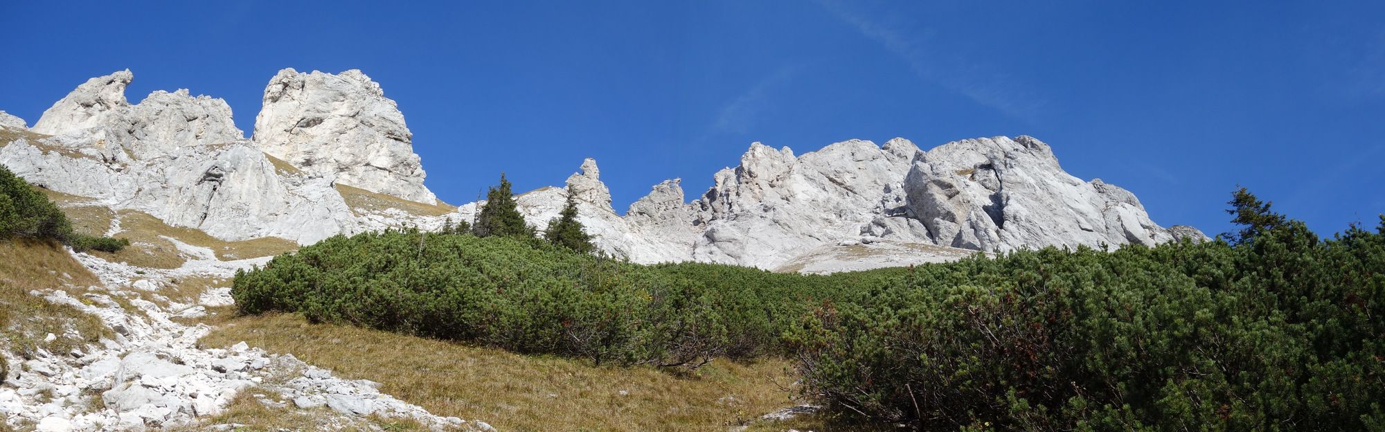
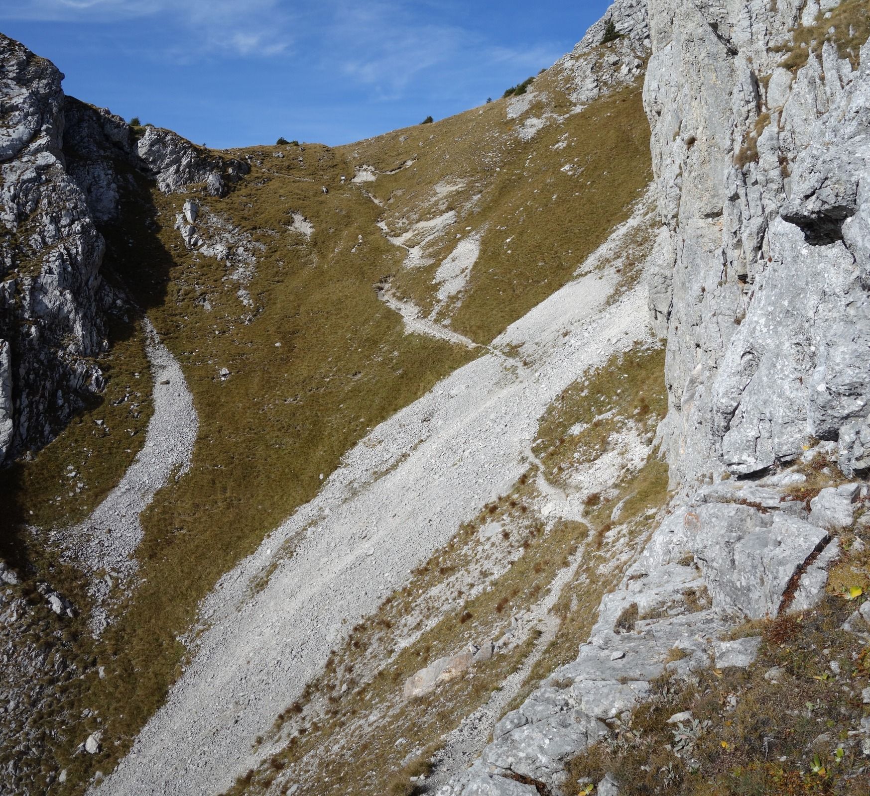
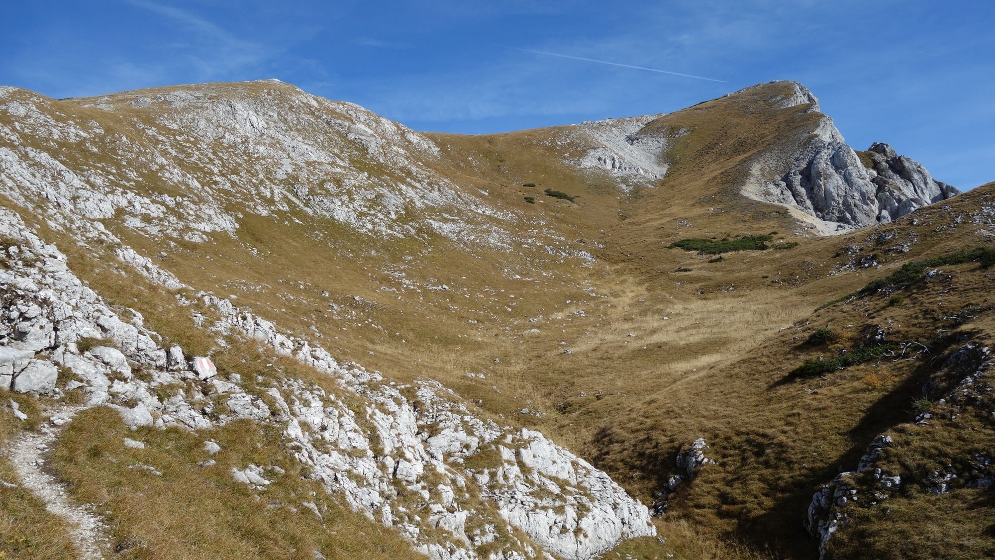
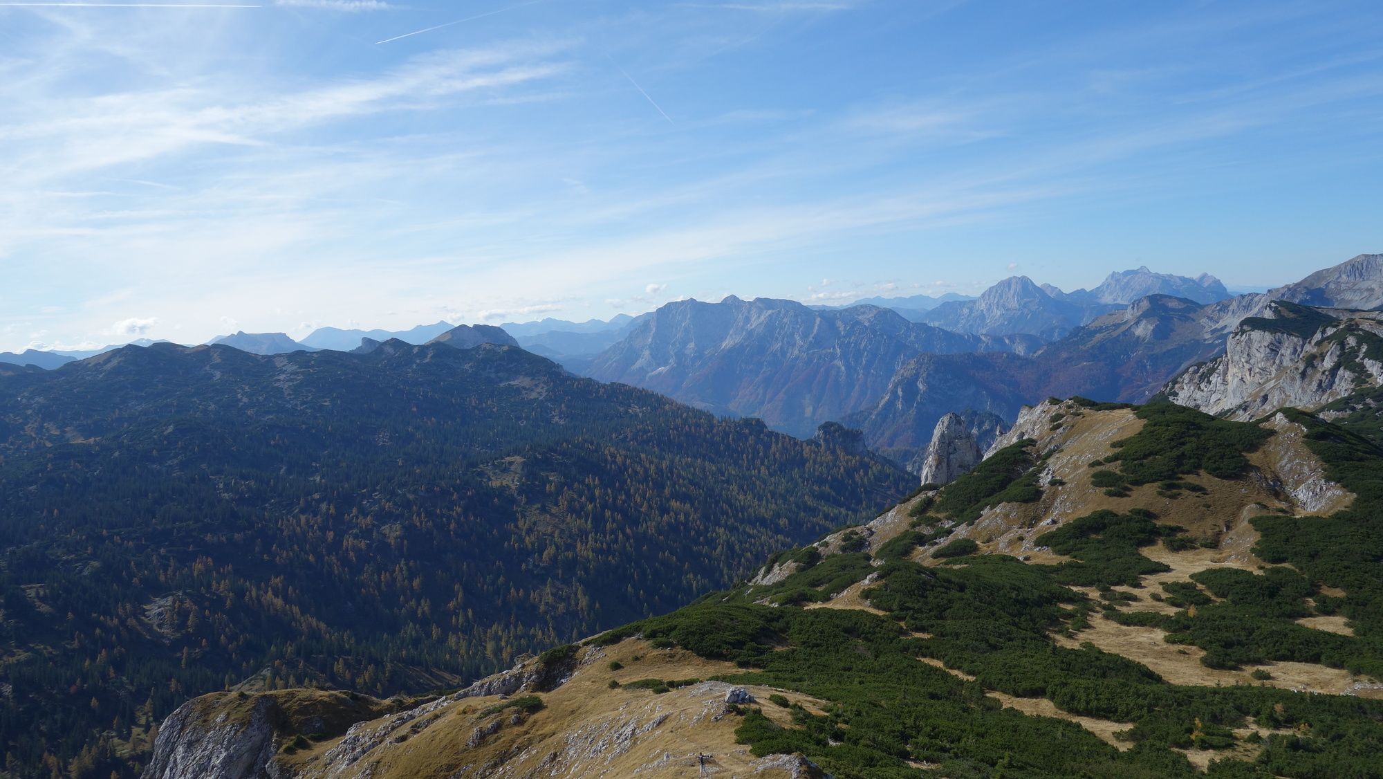
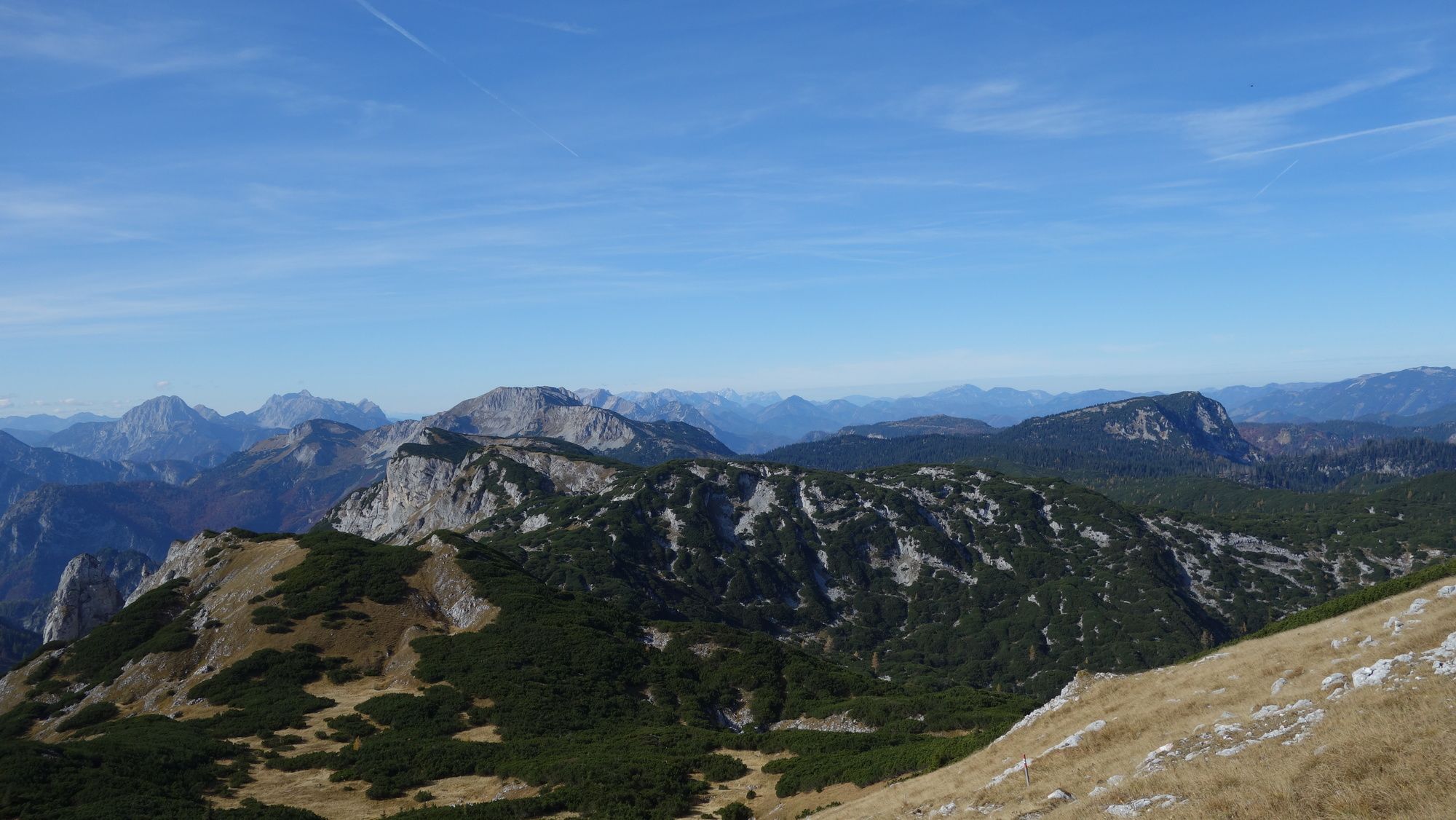
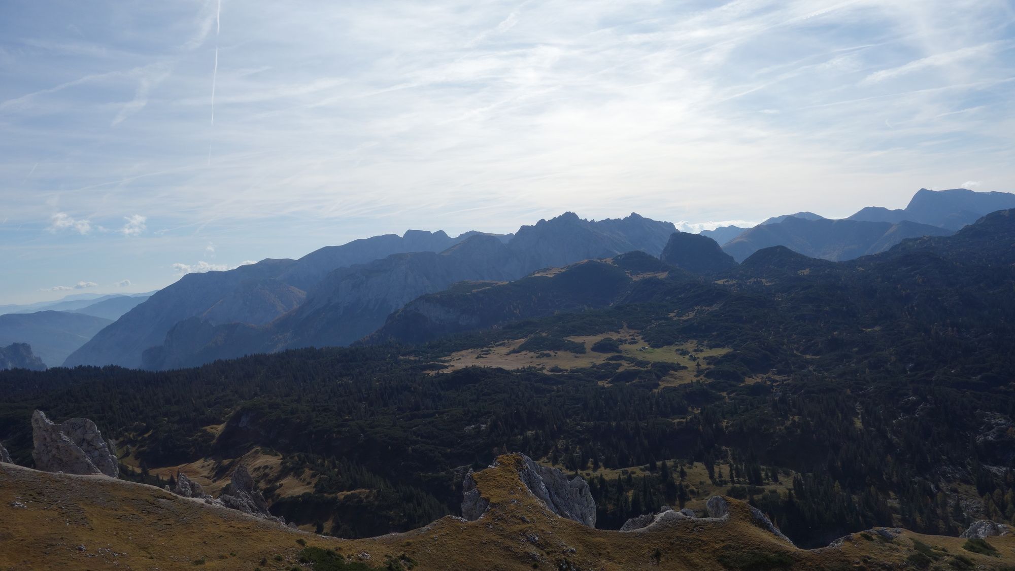
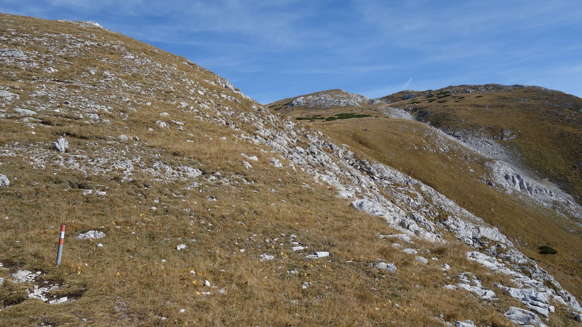
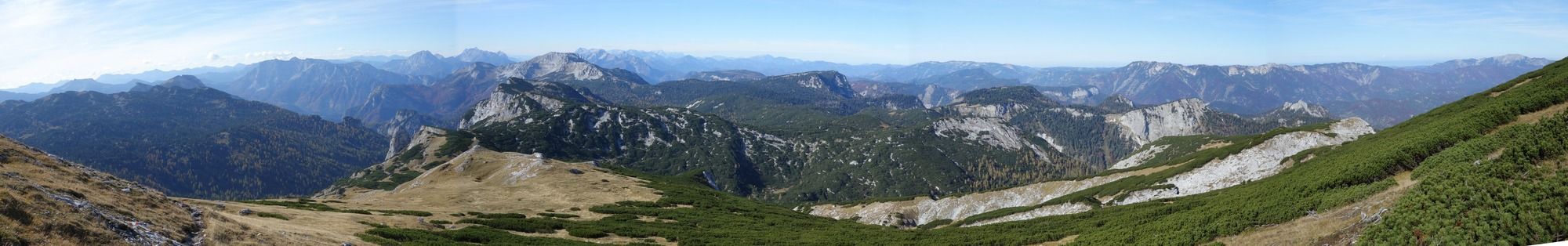
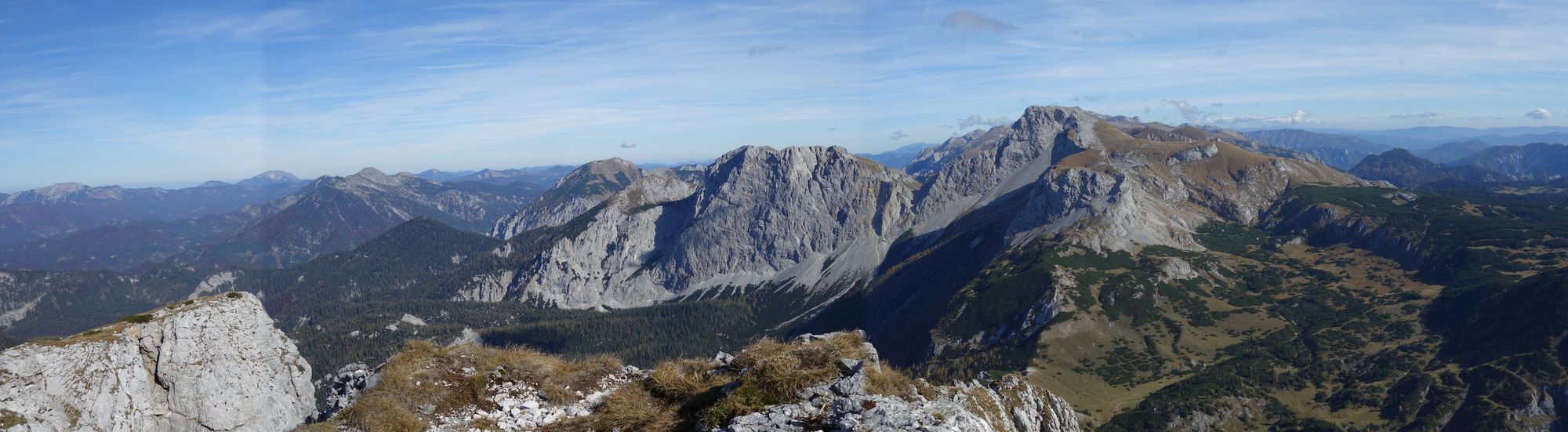
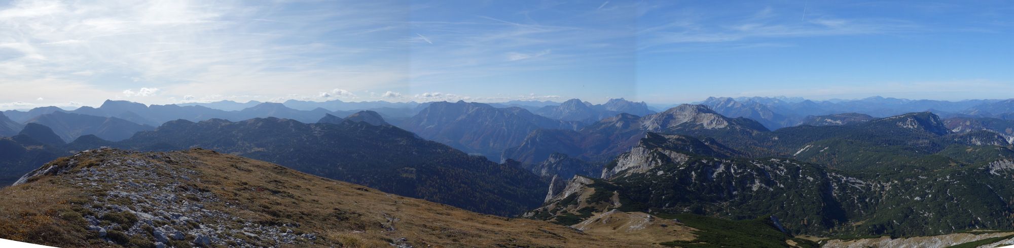
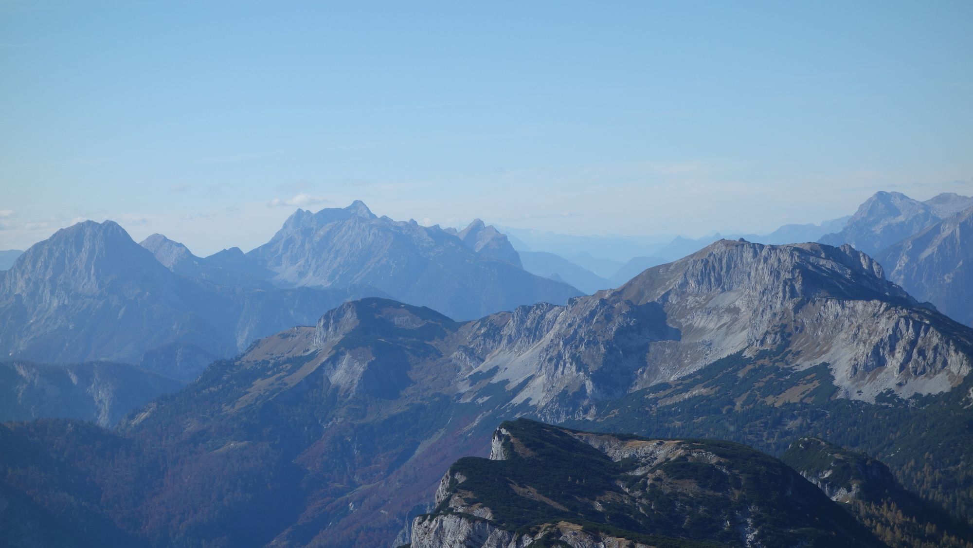
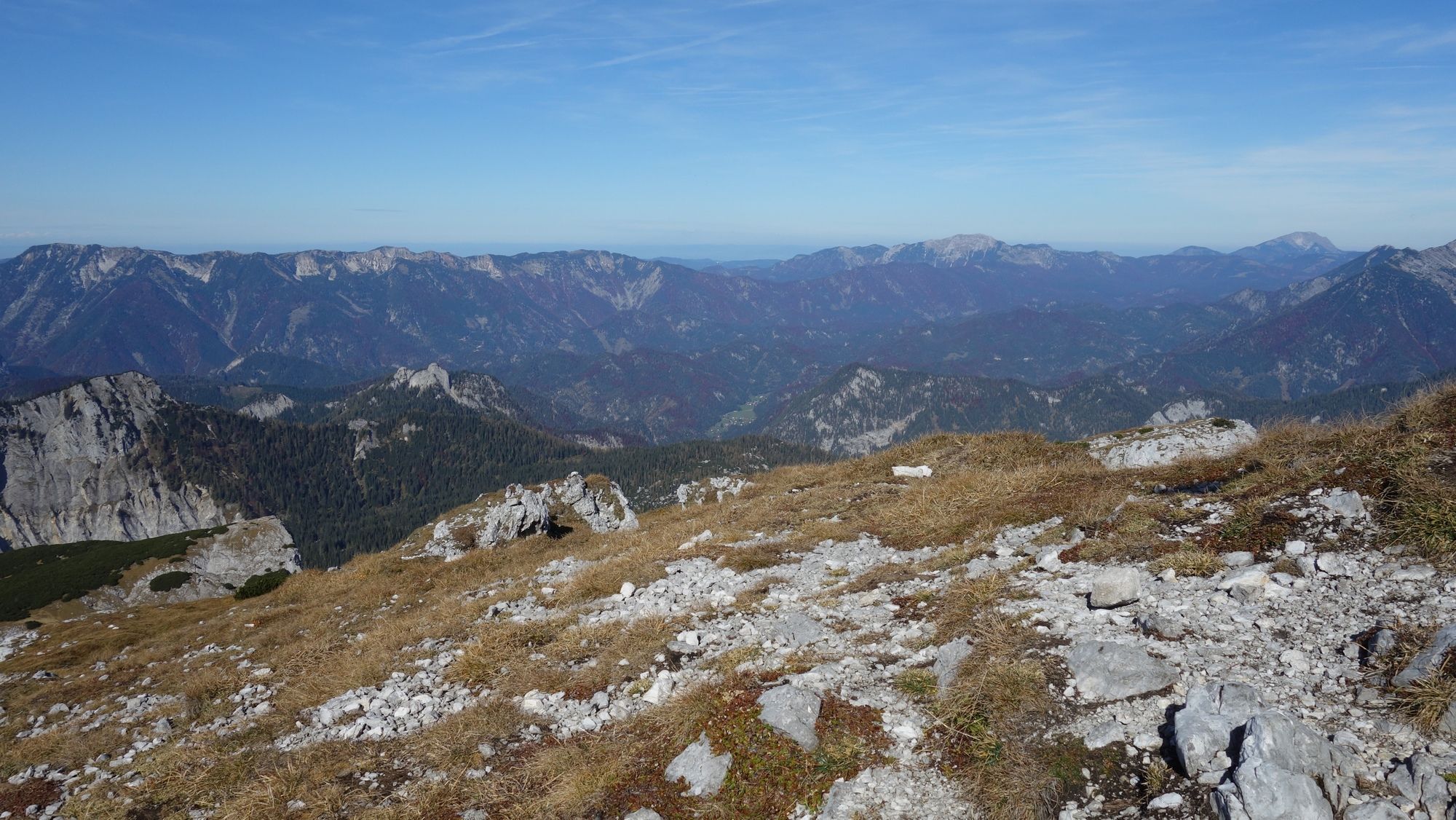
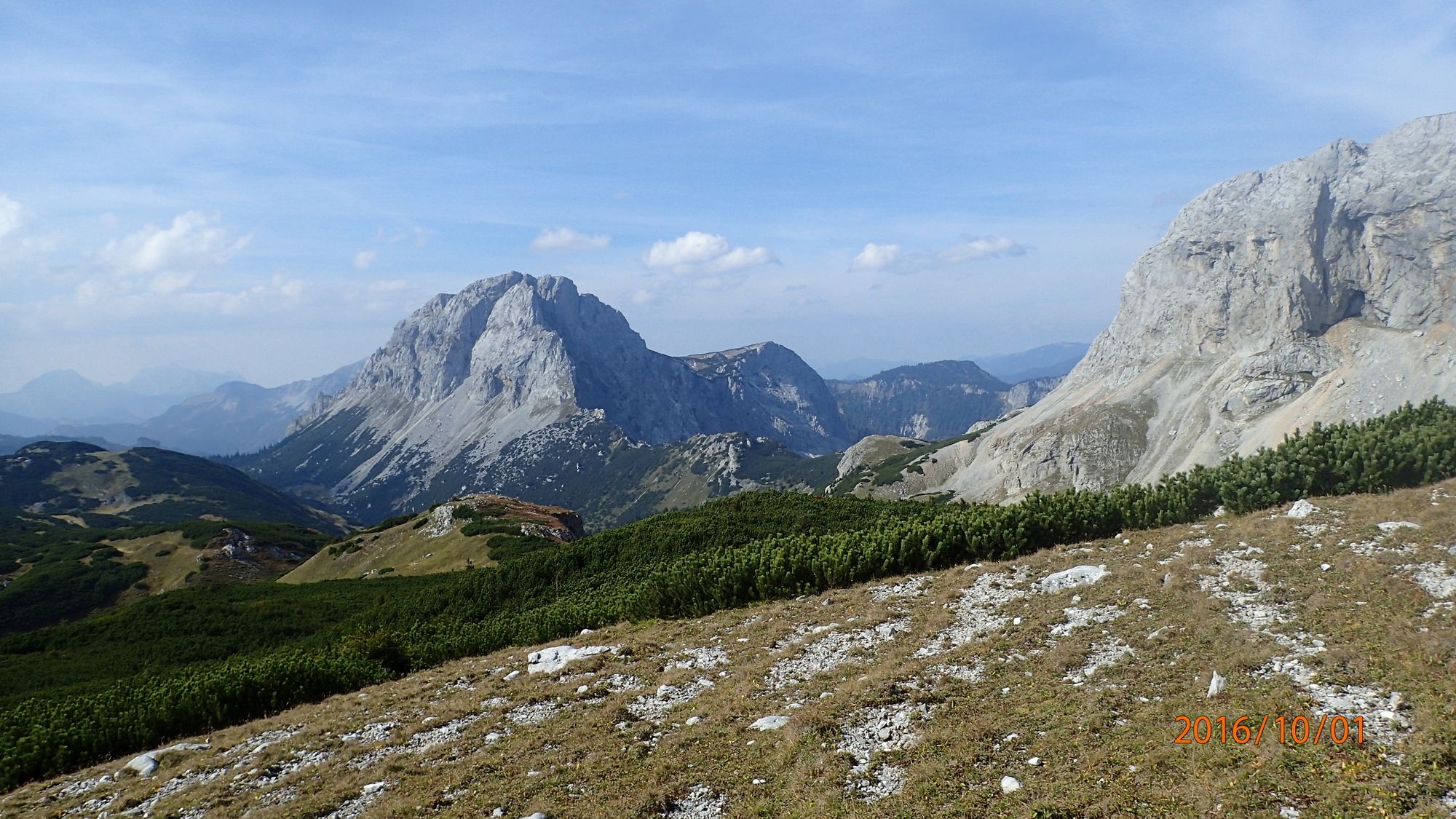
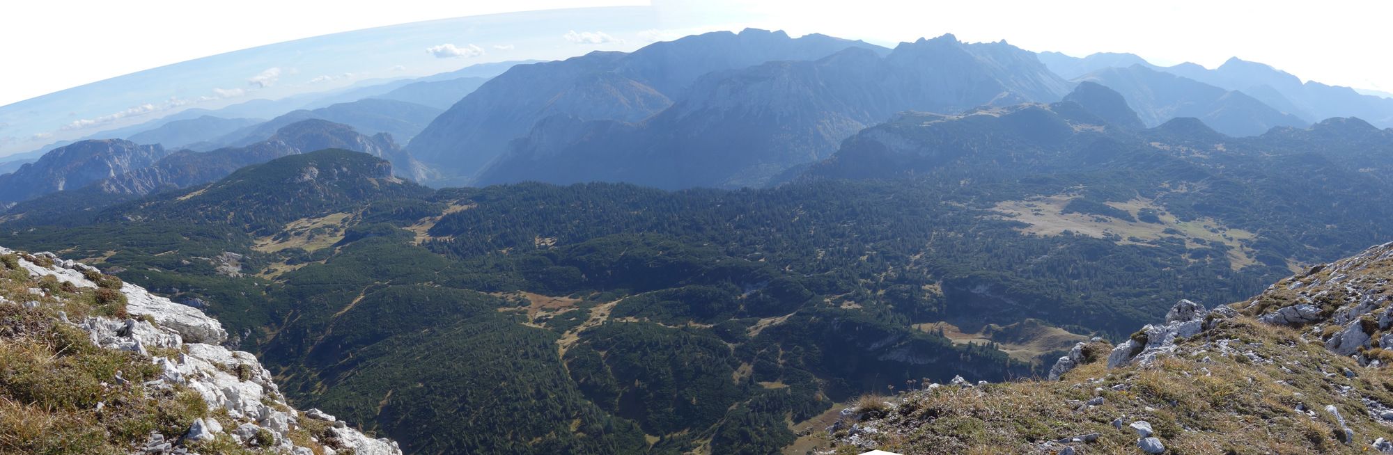
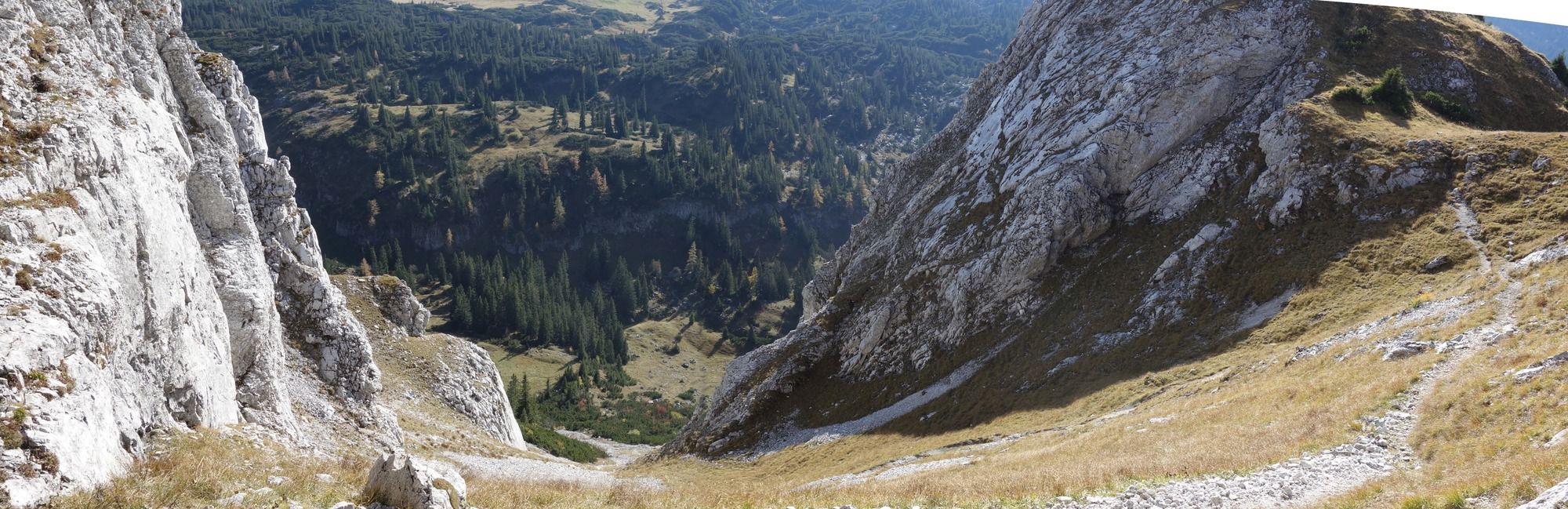
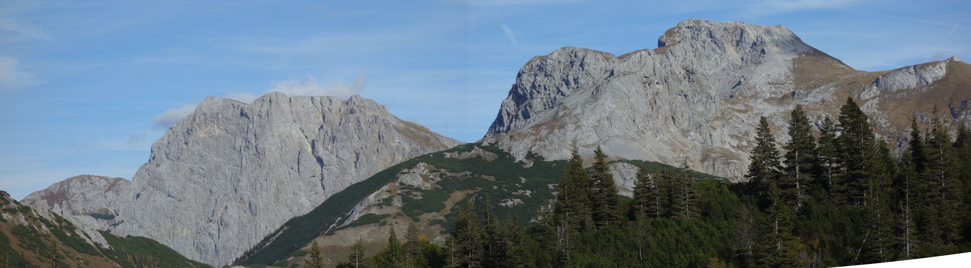
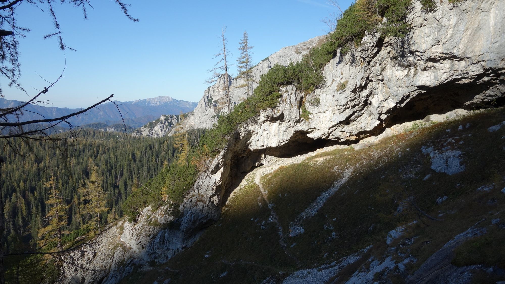
Wanderung auf dem Brandstein von Wildalpen Winterhöh bei der Liftanlage aus.
- Dificultad
-
difícil
- Valoración
-
- Punto de salida
-
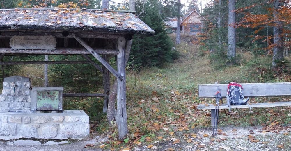
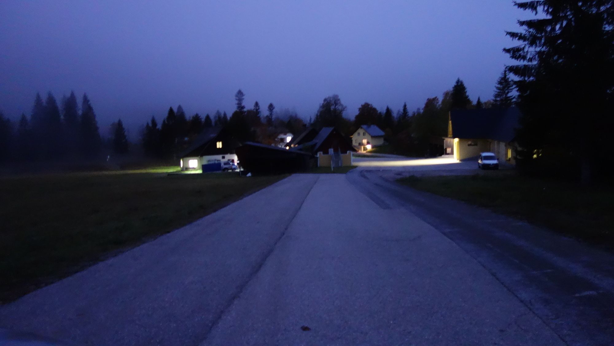
Liftparkplatz
- Ruta
-
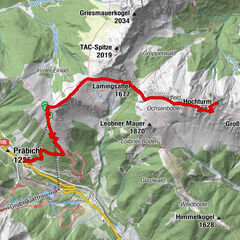
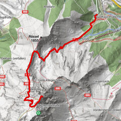
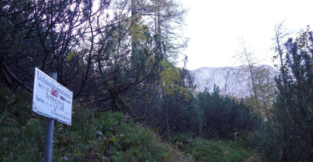
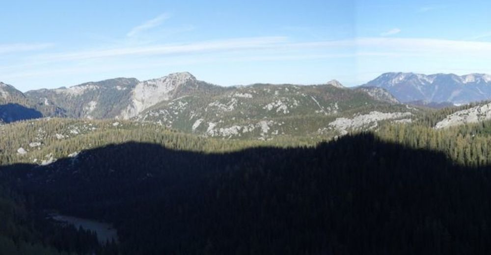
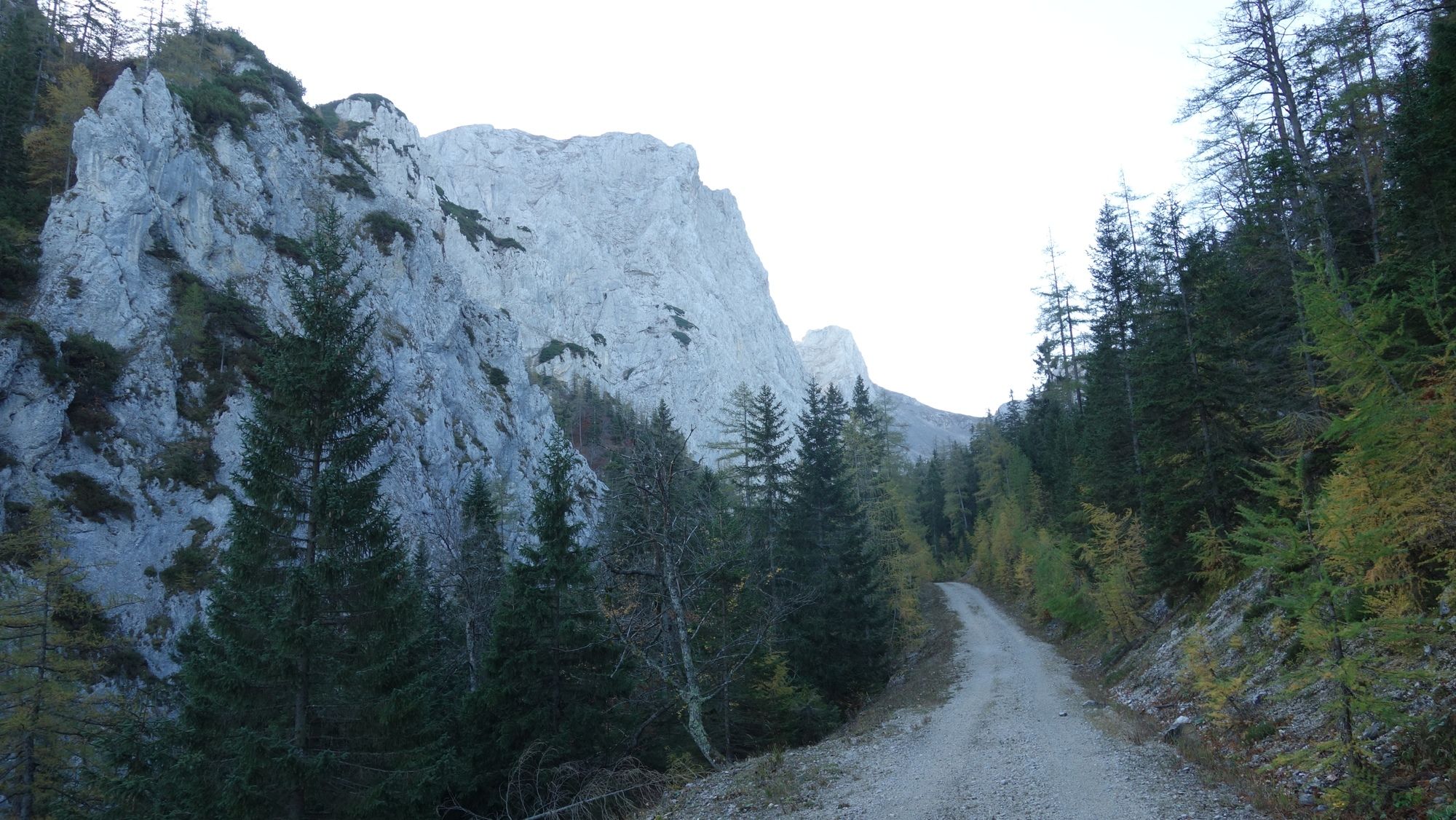
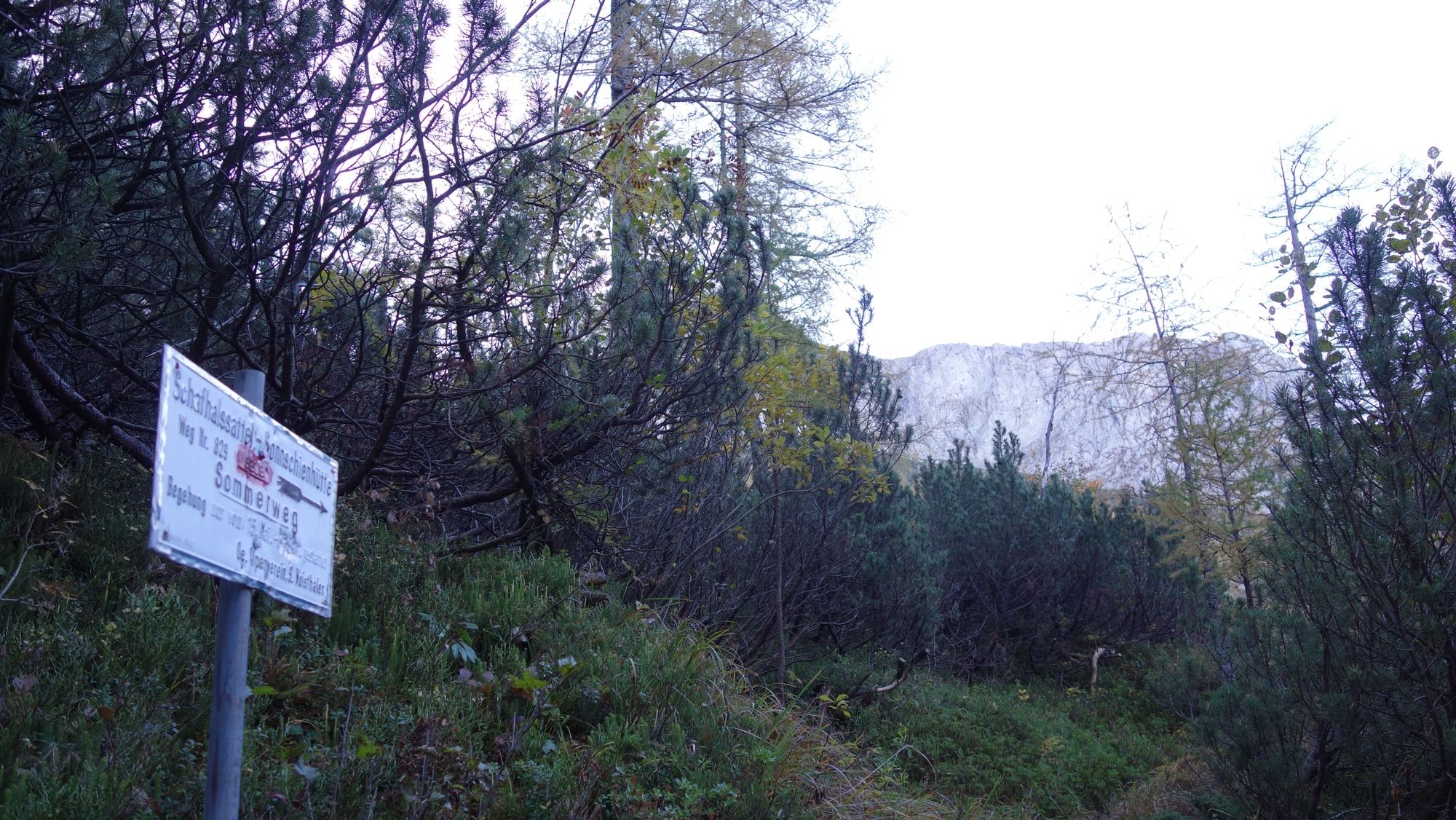
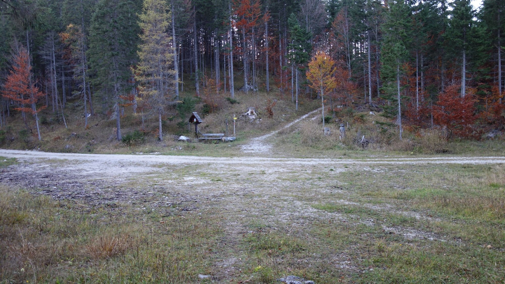
WinterhöhAntonikreuz2,9 kmKreuzpfäder (1.194 m)4,5 kmZumach5,8 kmSchafhalssattel (1.557 m)8,7 kmBrandstein (2.003 m)13,0 kmSchafhalssattel (1.557 m)17,3 kmZumach20,1 kmKreuzpfäder (1.194 m)21,5 kmAntonikreuz23,0 kmWinterhöh25,4 km
- La mejor temporada
-
enefebmarabrmayjunjulagosepoctnovdic
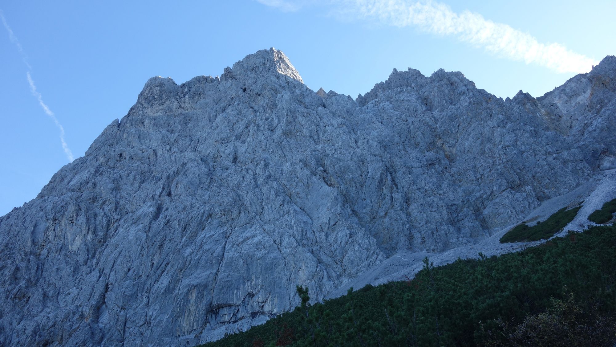
- Punto álgido
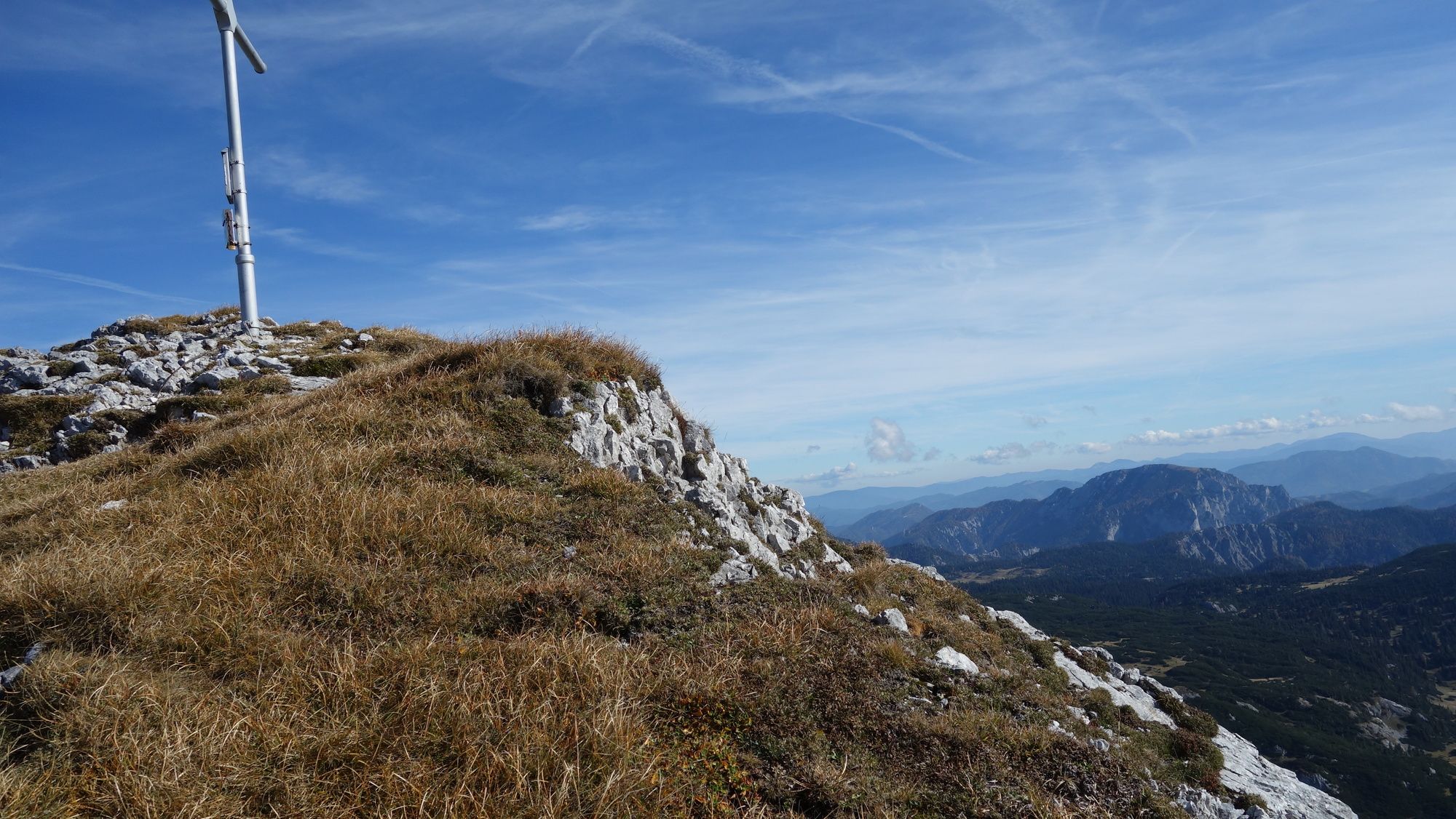
- Brandstein (2.003 m)
- Punto final
-
Schafhalssattel, Brandstein, Schafhalssattel, Liftparkplatz
- Descanso/Avituallamiento
-
Nach der Wanderung in Hinterwildalpen oder Wildalpen
- Material cartográfico
-
bergfex, amap, kompass, opentopomap


- Fuente
- Erich Helferstorfer
GPS Downloads


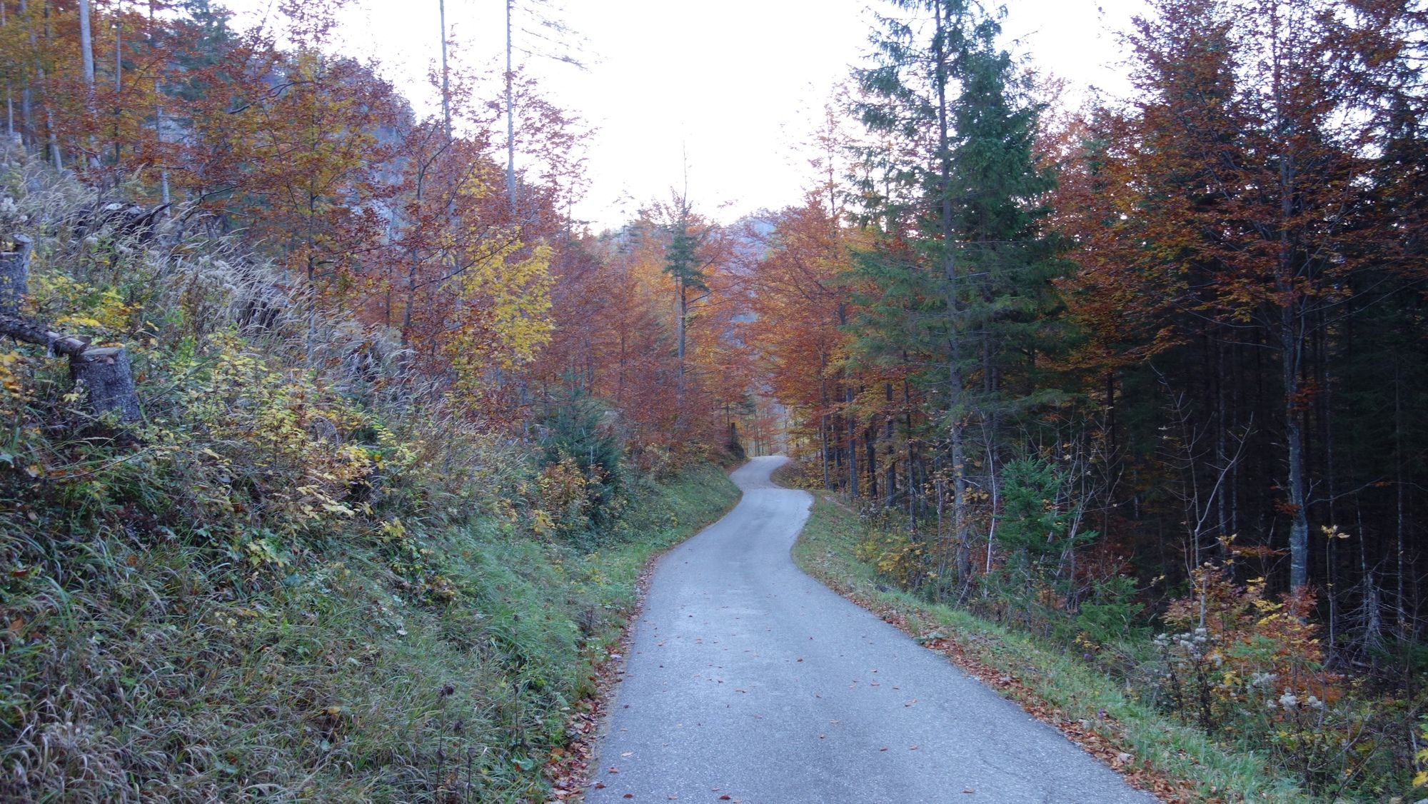
Superficie de carretera
Asfalto
(5%)
Gravilla
(70%)
Pradera
(25%)
Bosque
(35%)
Roca
Expuesto
Más circuitos por las regiones
-
Erzberg Leoben
2530
-
Hochschwab
1272
-
Wildalpen
254