

© Gerhard Pilz - www.gpic.at - Gerhard Pilz
© Gerhard Pilz
© Herbert Raffalt - Gerhard Pilz
© Gerhard Pilz
© Gerhard Pilz

© Tourismusverband Schladming - Gerhard Pilz - Gerhard Pilz

© Gerhard Pilz - www.gpic.at - Gerhard Pilz

© Gerhard Pilz - www.gpic.at - Gerhard Pilz

© Tourismusverband Schladming - Gerhard Pilz - Gerhard Pilz

© Gerhard Pilz - www.gpic.at - Gerhard Pilz
- Breve descripción
-
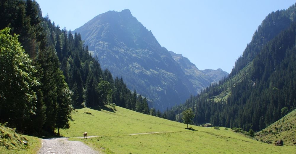
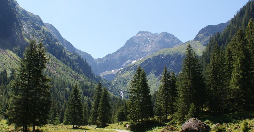
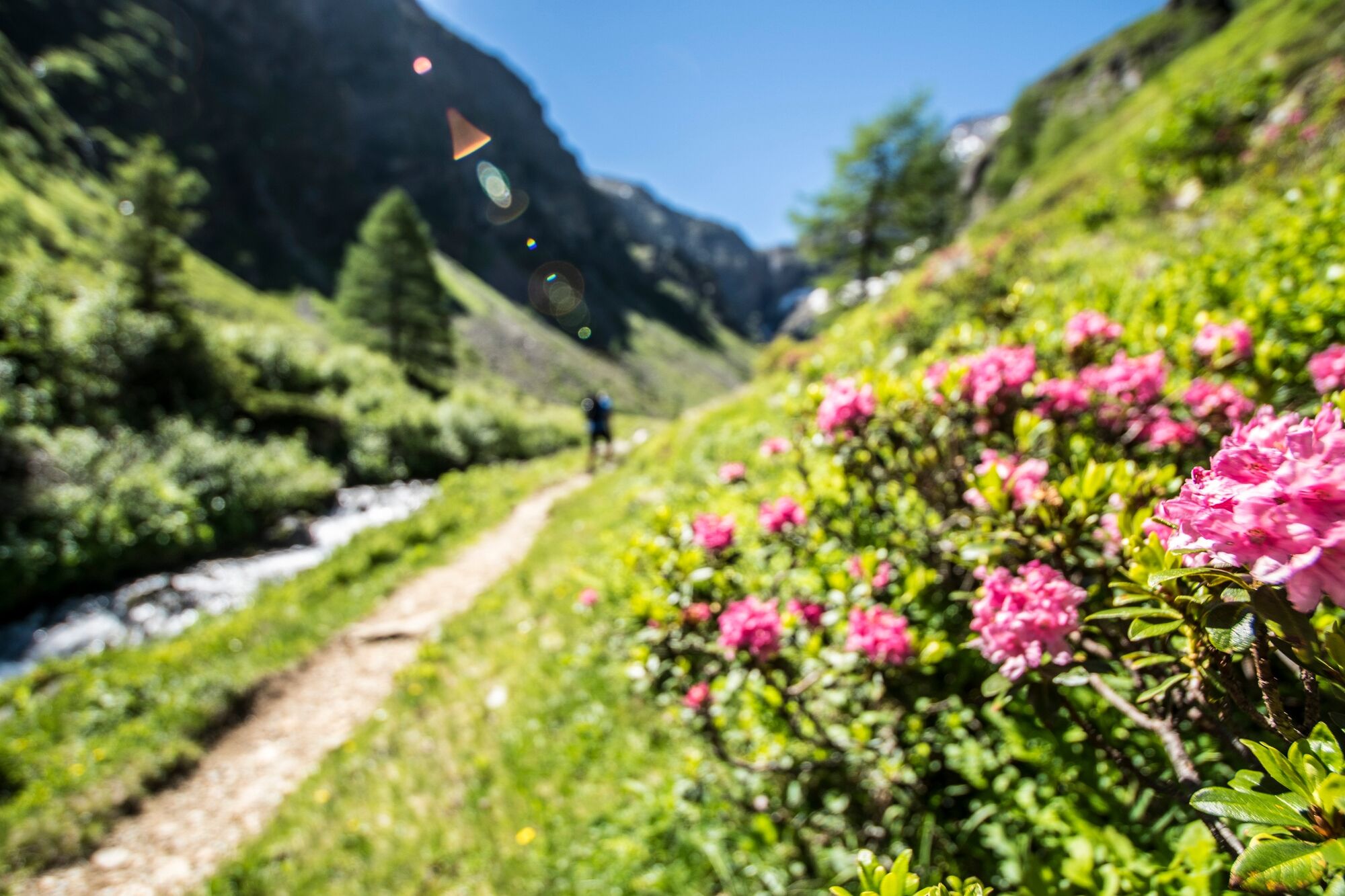
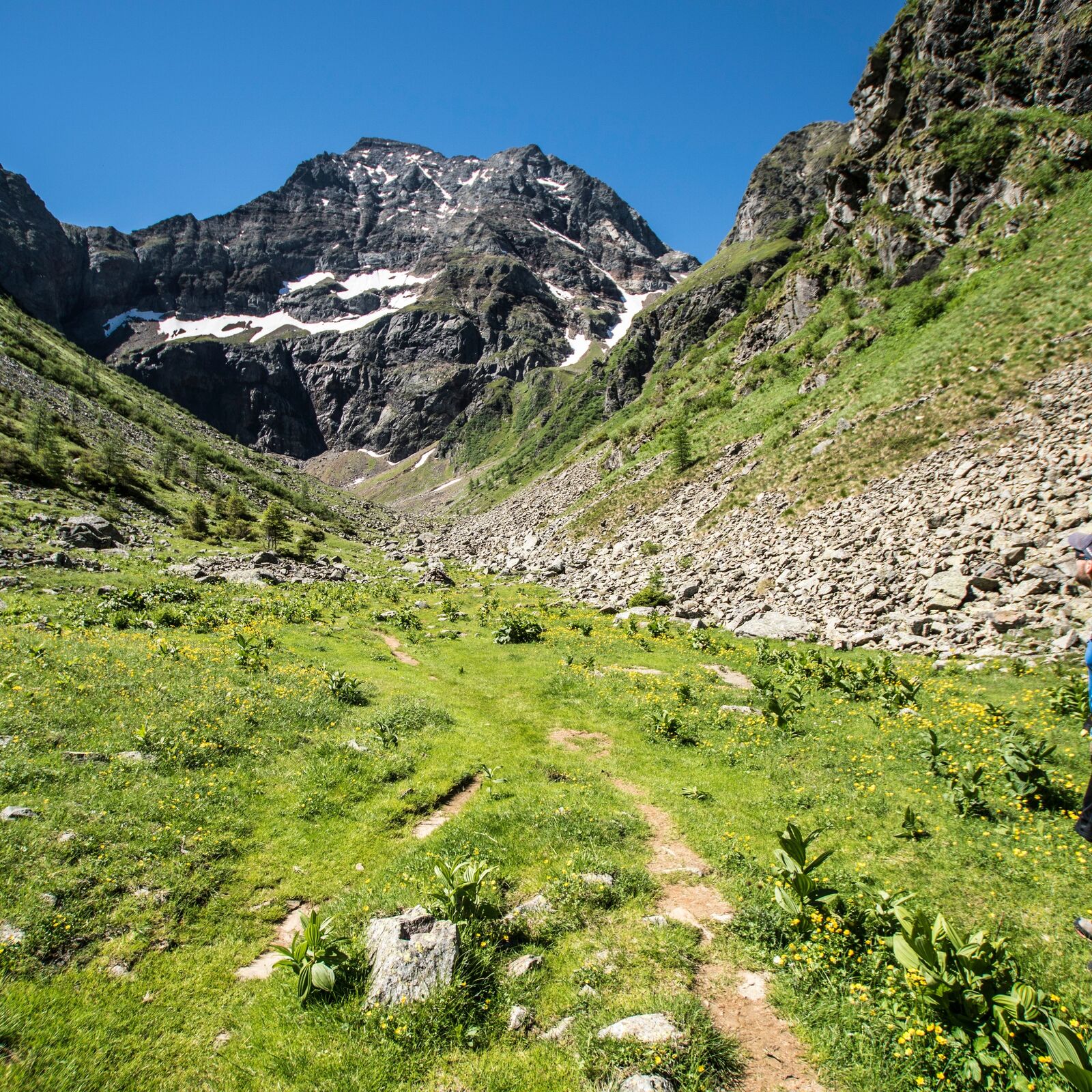
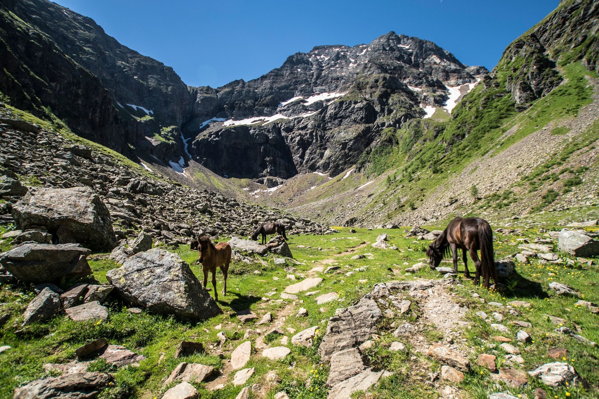
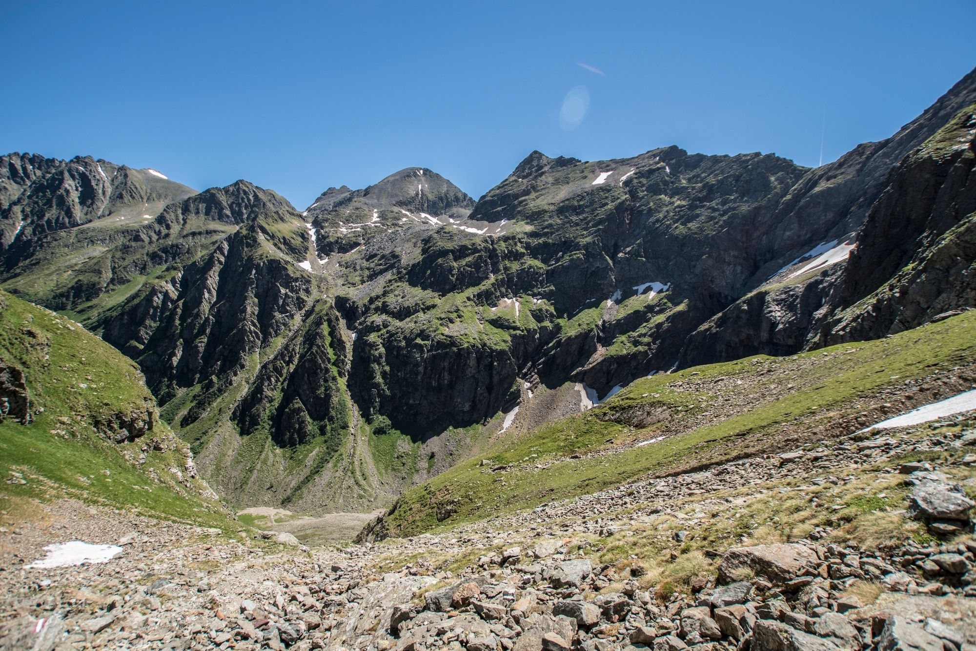
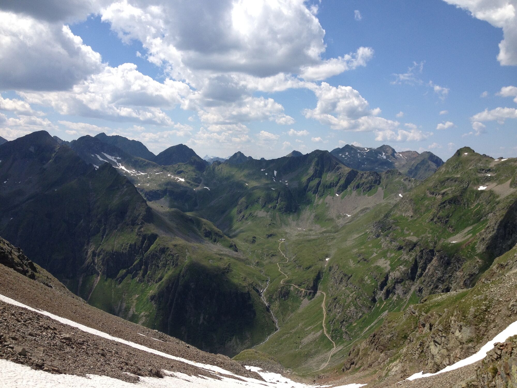
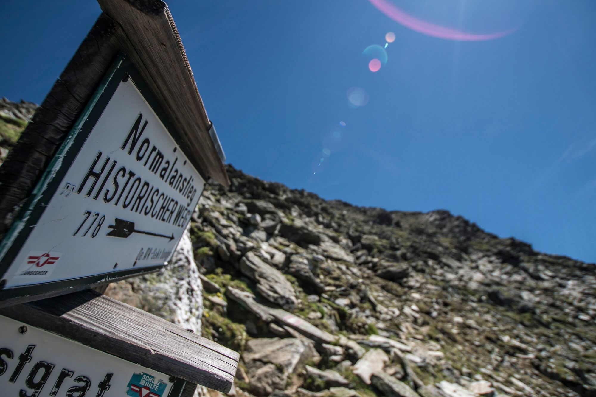
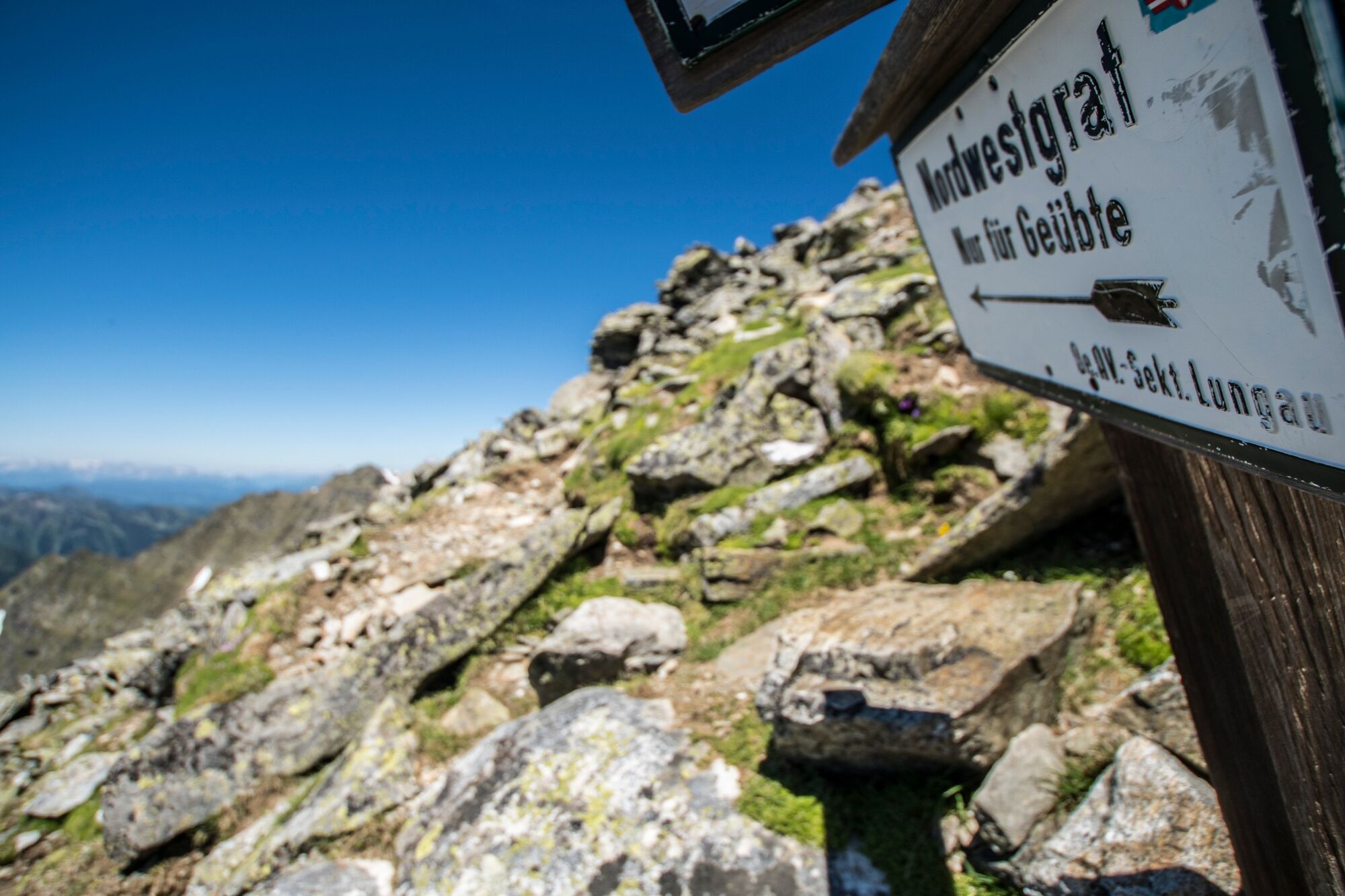
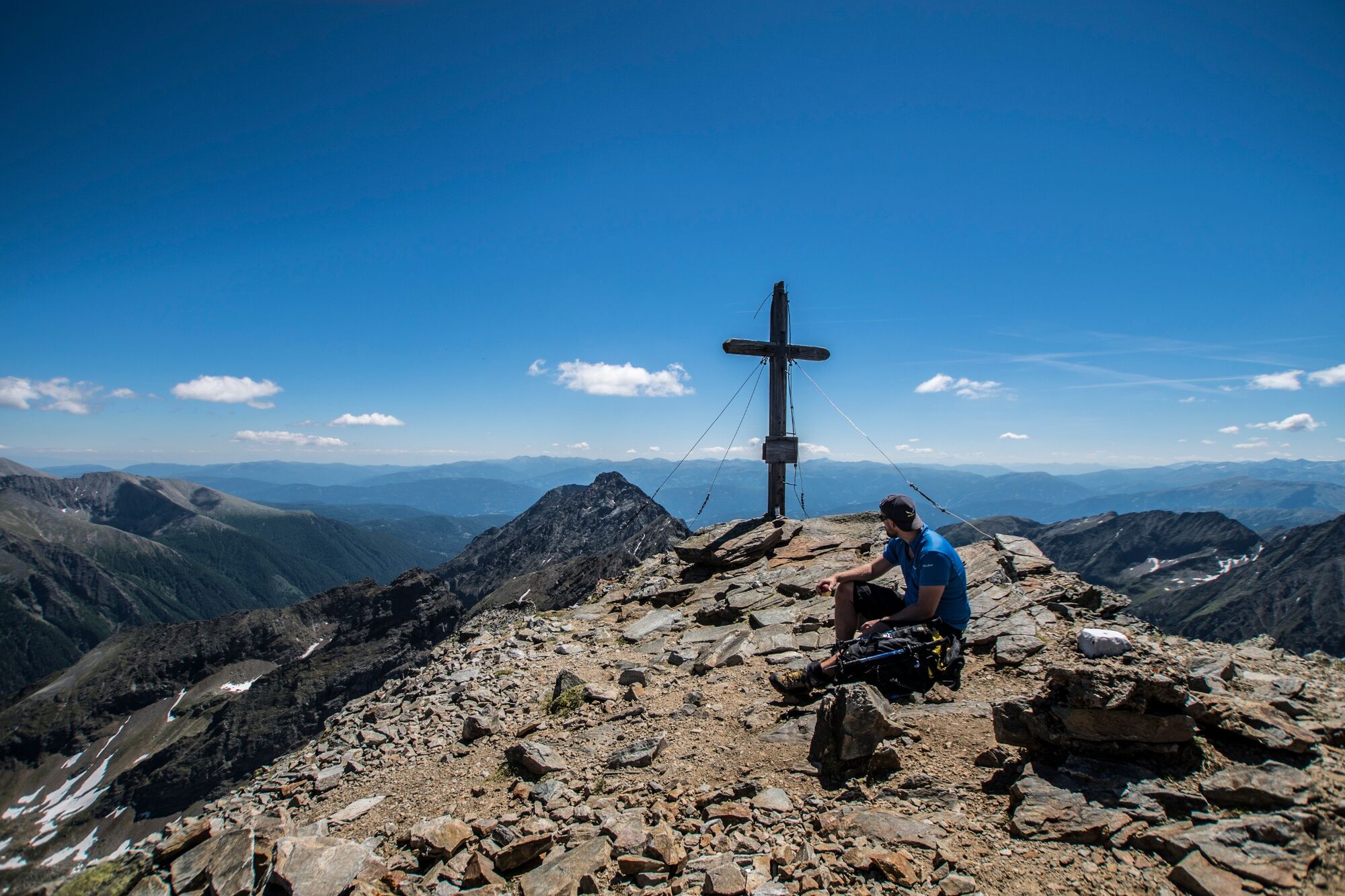
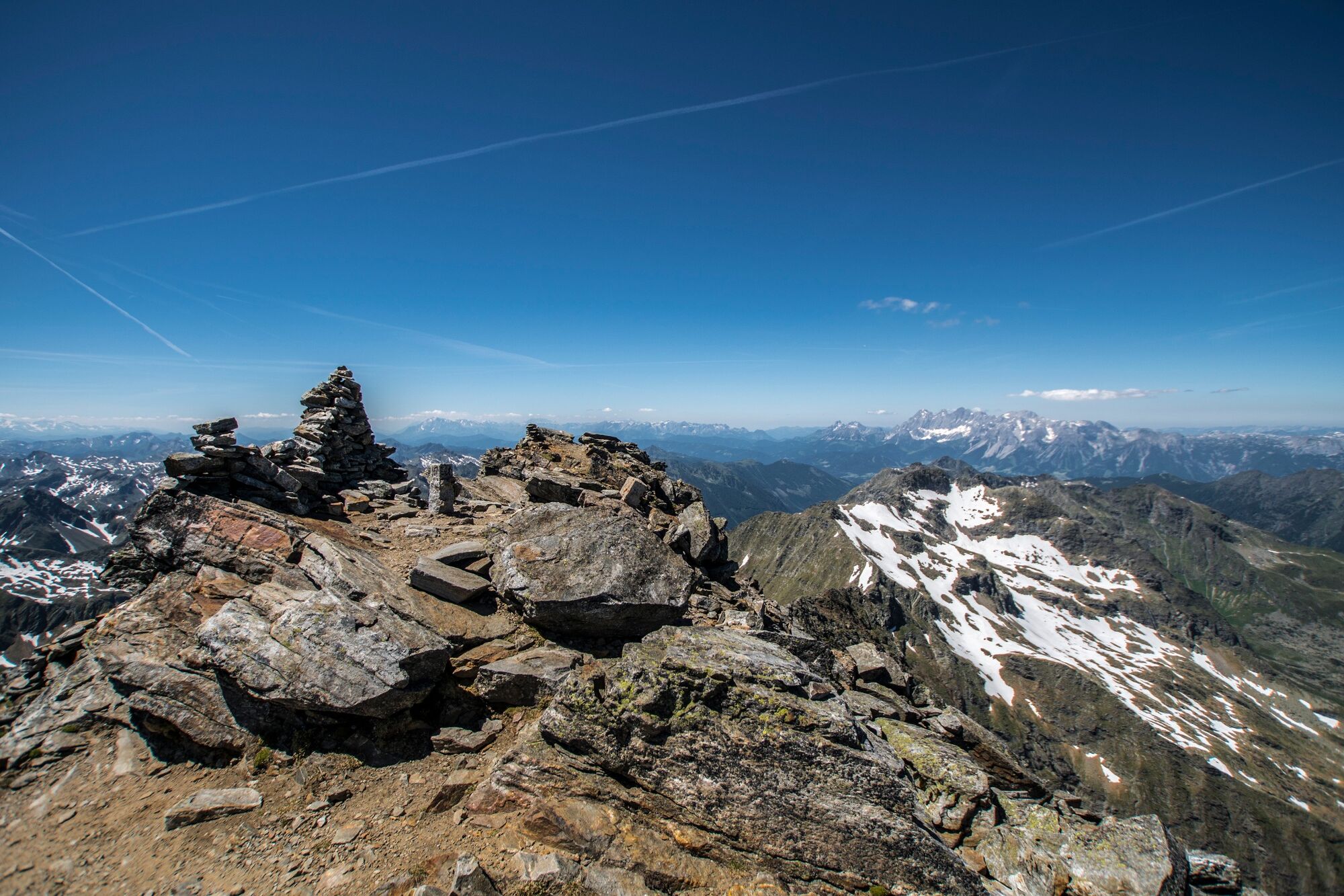
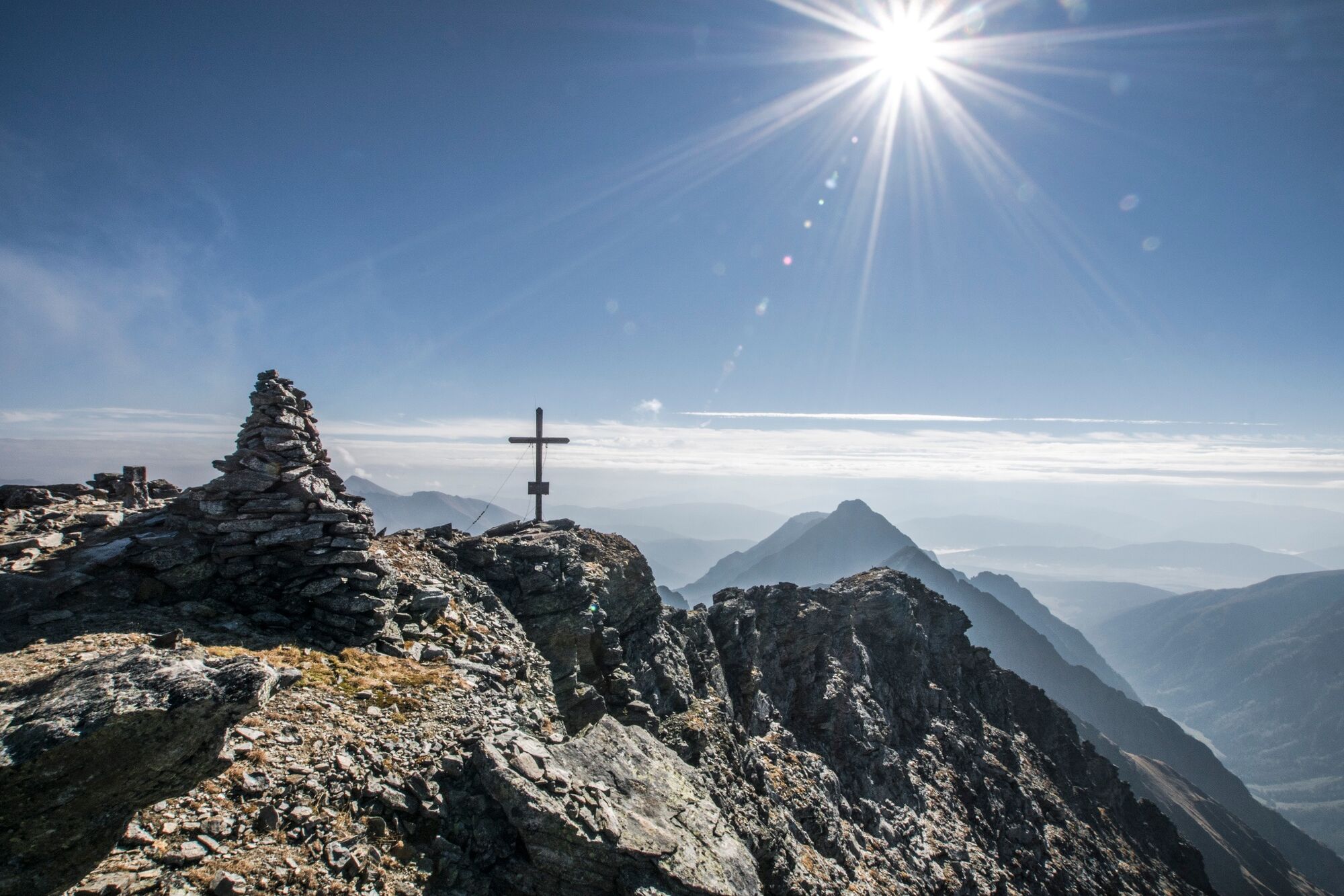
Hochgolling is the highest peak of the Niedere Tauern range. Surefootedness and head for heights are a must!
- Dificultad
-
difícil
- Valoración
-
- Ruta
-
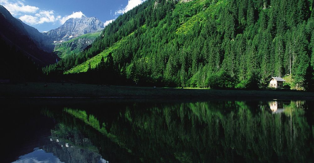
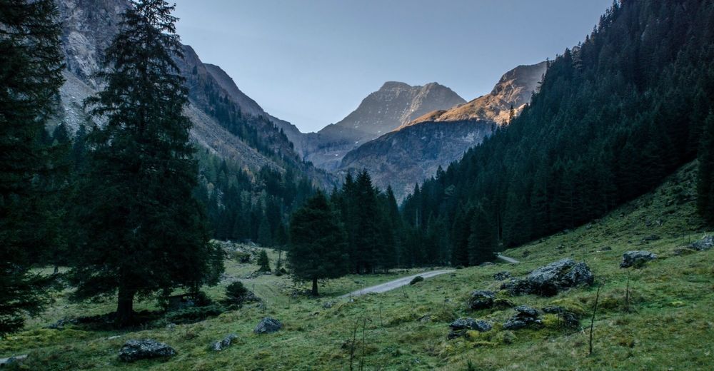
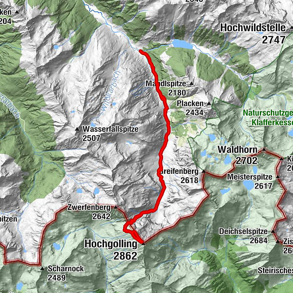
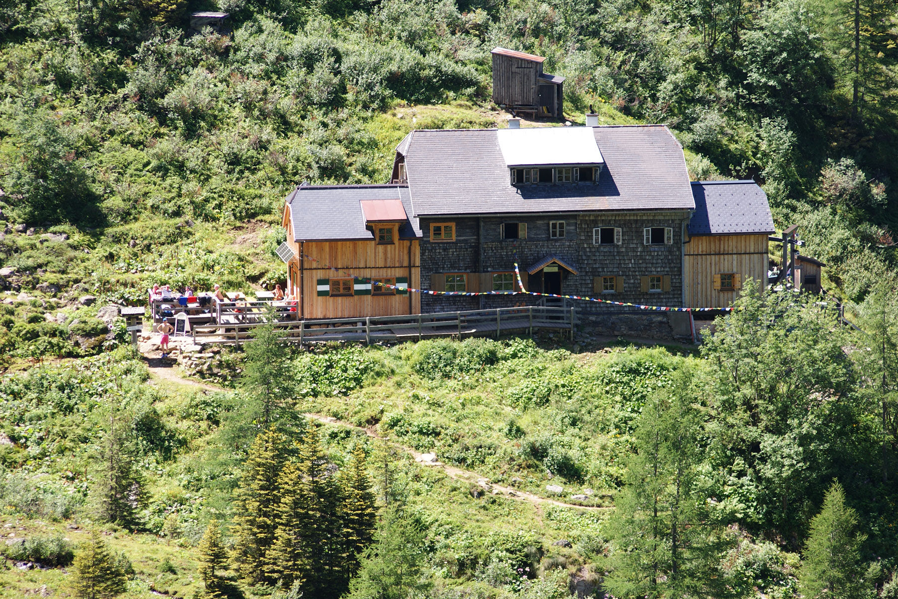
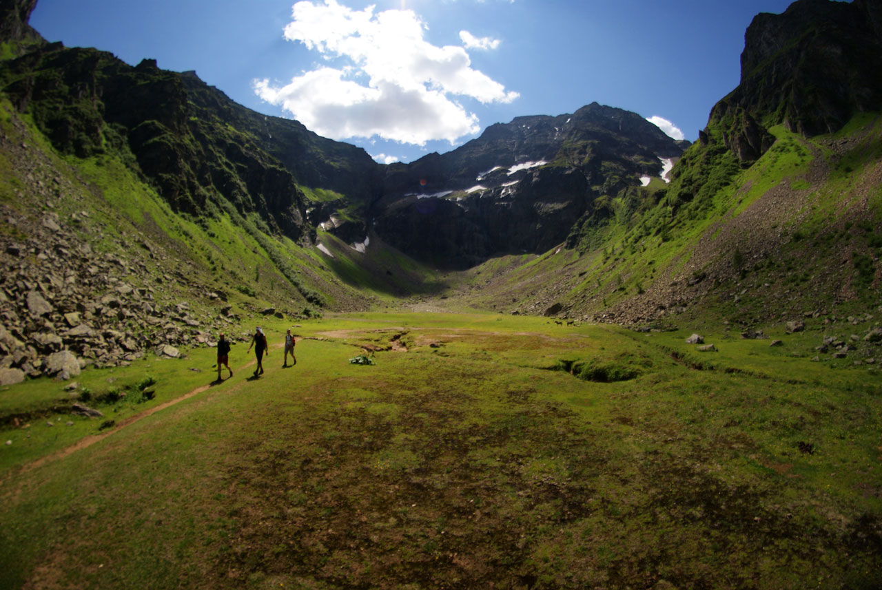
Gasthof Zum Riesachfall0,1 kmKleiner Riesachfall0,2 kmehem. Untere Stegeralm4,7 kmGollinghütte (1.642 m)5,6 kmObere Steinwenderalm6,3 kmGollingwinkel6,6 kmHochgolling (2.862 m)9,4 kmGollingwinkel12,3 kmObere Steinwenderalm12,4 kmGollinghütte (1.642 m)13,2 kmehem. Untere Stegeralm14,1 kmKleiner Riesachfall18,7 kmGasthof Zum Riesachfall18,8 km
- La mejor temporada
-
enefebmarabrmayjunjulagosepoctnovdic
- Punto álgido
- 2.843 m
- Punto final
-
Hiking trail head Seeleiten car park, Untertal
- Perfil alto
-


-

-
AutorLa gira Hochgolling - 2,862 m es utilizado por outdooractive.com proporcionado.
GPS Downloads
Información general
Punto de avituallamiento
Vistas panorámicas
Más circuitos por las regiones
-
Schladming - Dachstein
3001
-
Schladming - Rohrmoos
1478
-
Lessach
181


