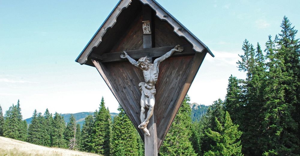
© Wolfgang Drexler

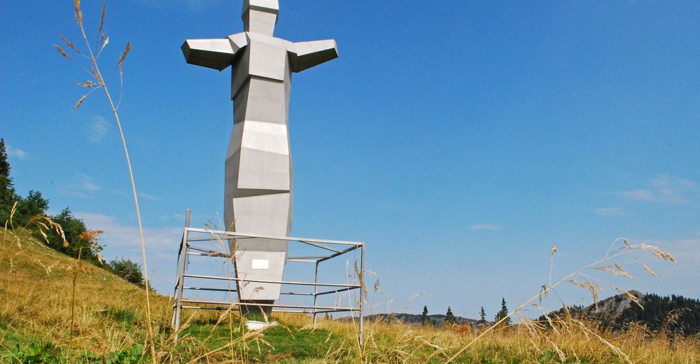
© Wolfgang Drexler
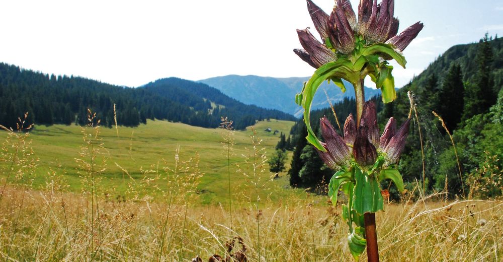
© Wolfgang Drexler
© Wolfgang Drexler
© Wolfgang Drexler
© Wolfgang Drexler
© Wolfgang Drexler
© Wolfgang Drexler
© Wolfgang Drexler
© Wolfgang Drexler
Datos del tour
14,68km
794
- 1.699m
956hm
956hm
06:30h
- Breve descripción
-
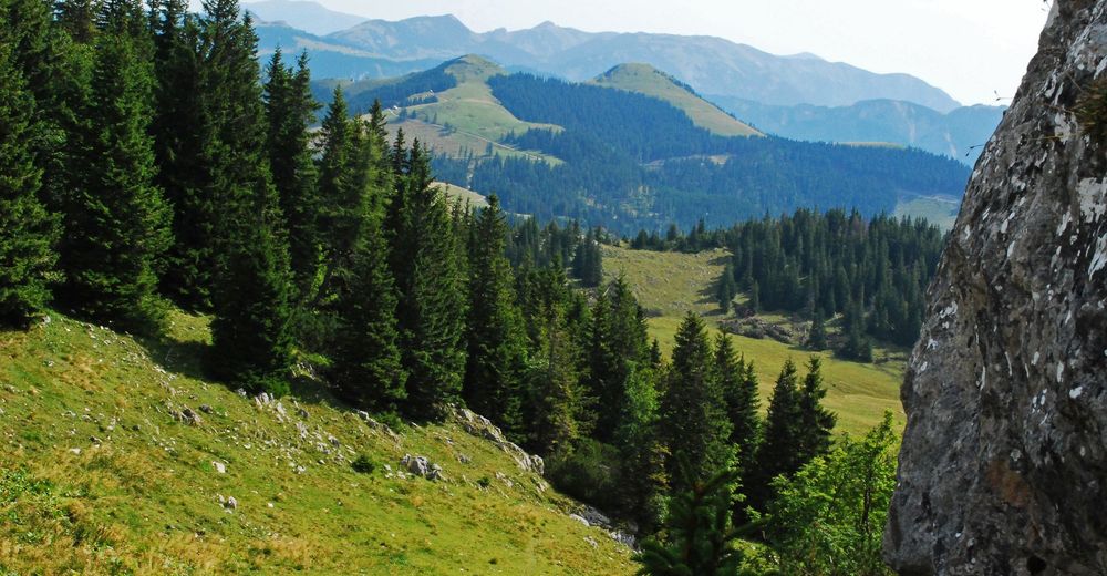
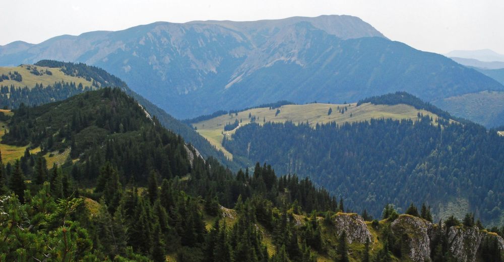
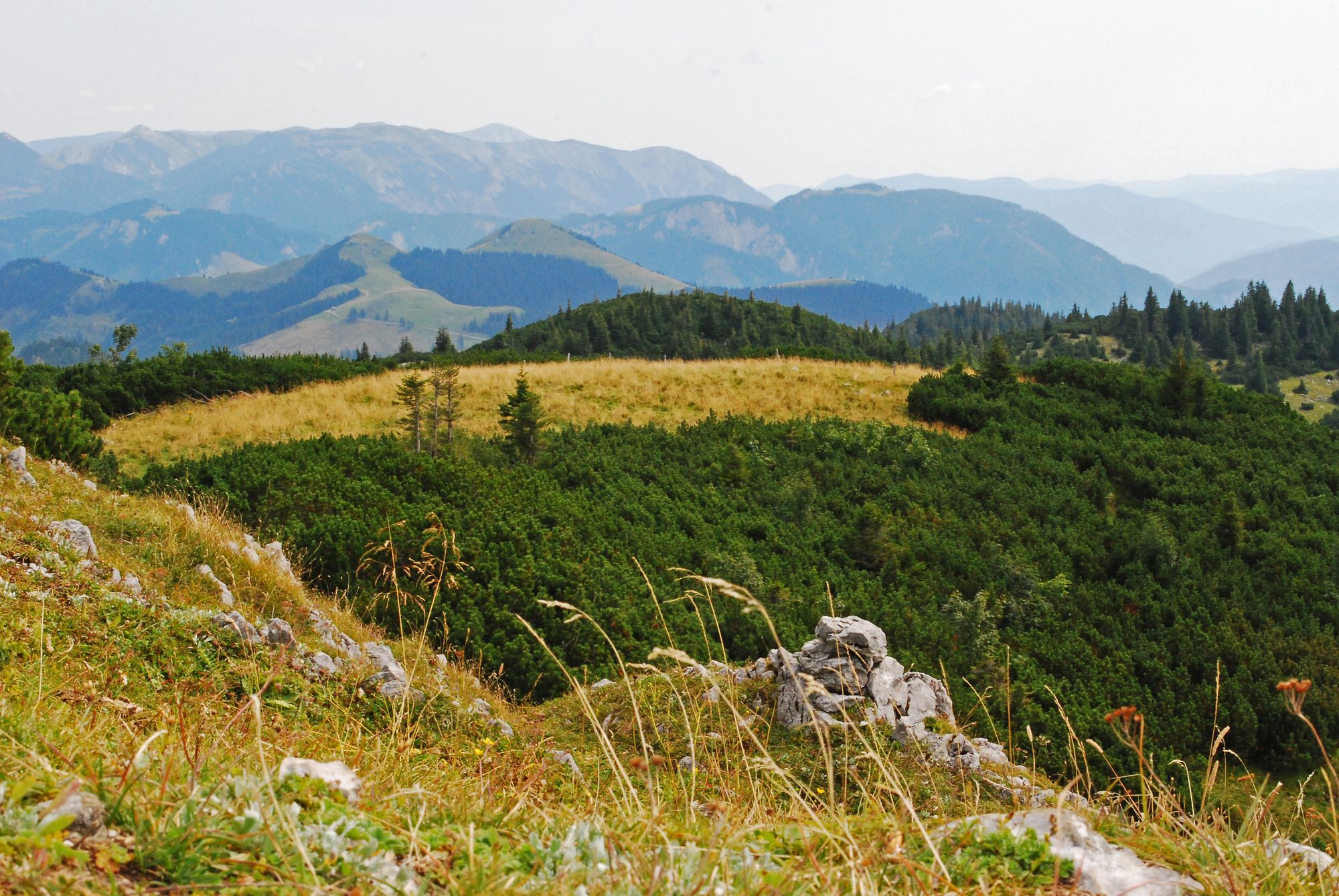
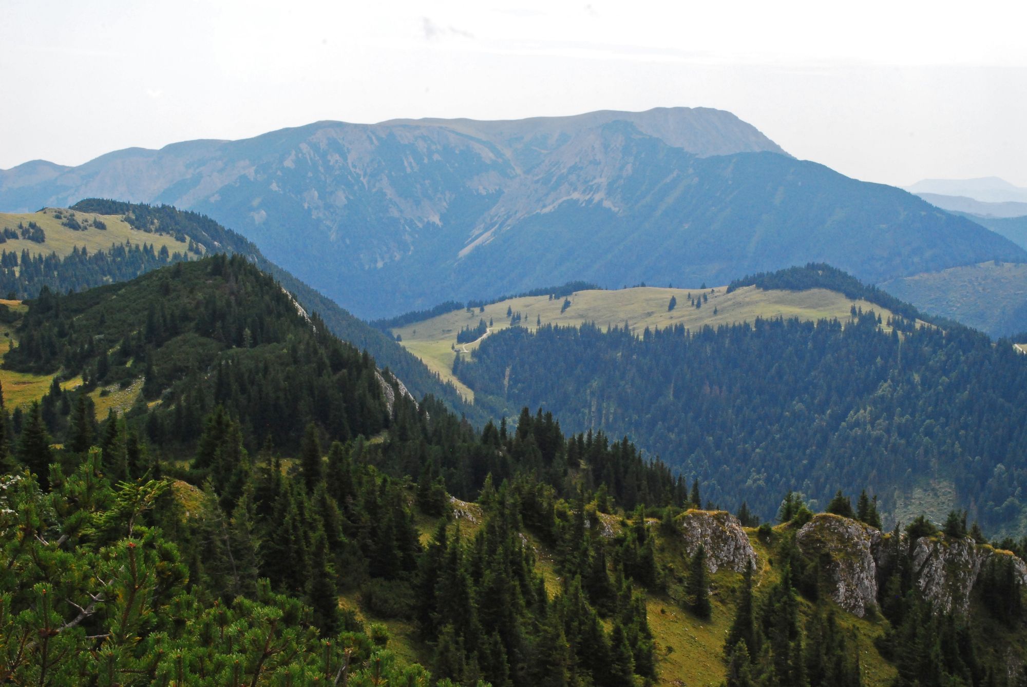
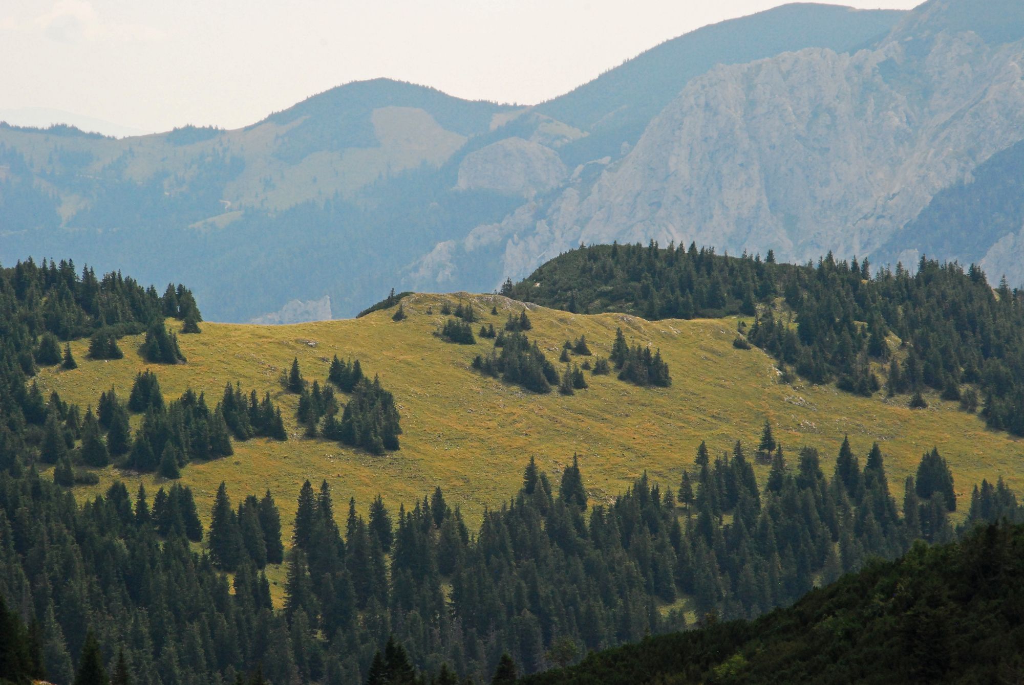
Als Geistergeher gegen den Strom pilgern und die wanderbar ruhige Tonion von Osten nach Westen überschreiten.
- Dificultad
-
medio
- Valoración
-
- Punto de salida
-
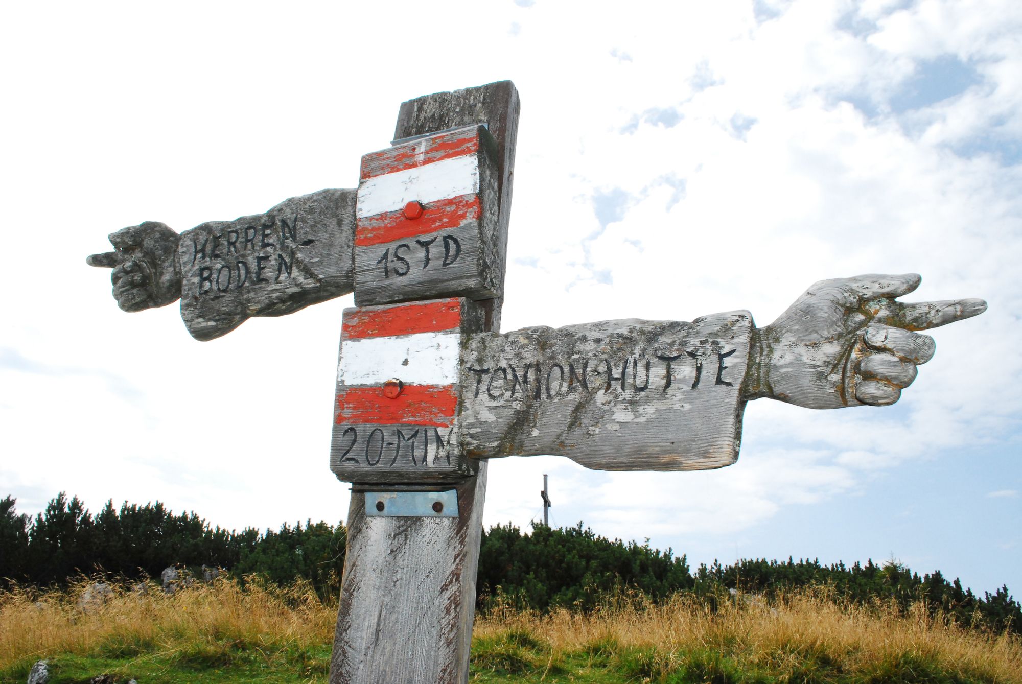
Fahrweggabelung unterhalb des Gasthofes „Lechnerbauer“
- Ruta
-
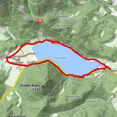
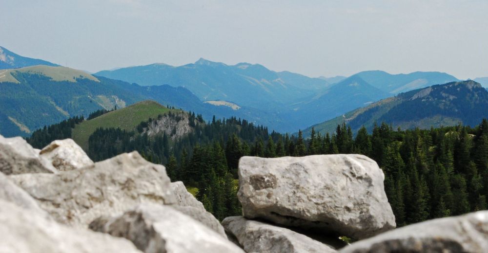
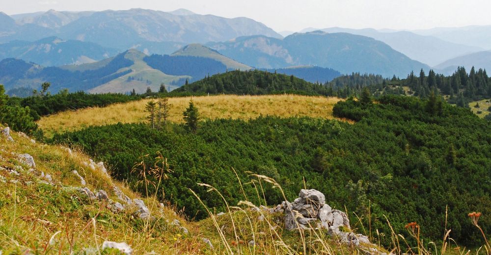
Zwölfenderloch7,5 kmSchneckenhöhle8,4 kmTonion (1.699 m)9,7 kmKnochenschacht10,0 kmTonionhütte10,8 km
- La mejor temporada
-
enefebmarabrmayjunjulagosepoctnovdic
- Punto álgido
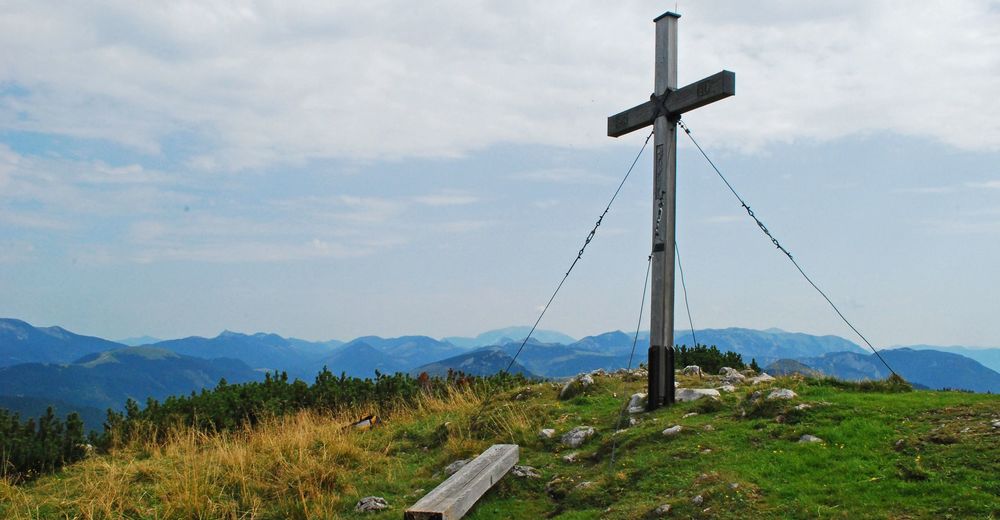
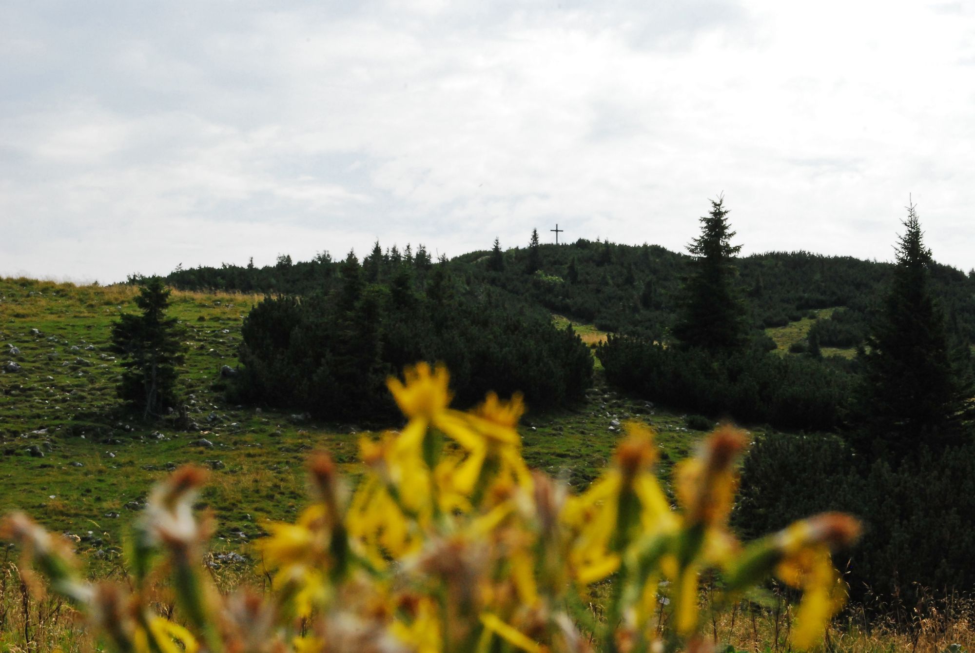
- Tonion (1.699 m)
- Punto final
-
Fahrweggabelung unterhalb des Gasthofes „Lechnerbauer“
- Descanso/Avituallamiento
-
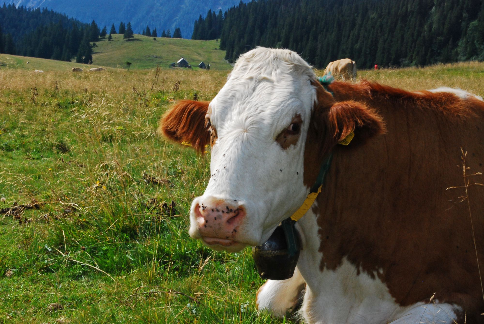
Toinionalm


- Fuente
- Wolfgang Drexler
GPS Downloads


Superficie de carretera
Asfalto
Gravilla
Pradera
Bosque
Roca
Expuesto
Más circuitos por las regiones
-
Mostviertel
2454
-
Mariazellerland
1506
-
Halltal
373