

© Wolfgang Drexler

© Wolfgang Drexler

© Wolfgang Drexler

© Wolfgang Drexler

© Wolfgang Drexler

© Wolfgang Drexler

© Wolfgang Drexler

© Wolfgang Drexler

© Wolfgang Drexler

© Wolfgang Drexler
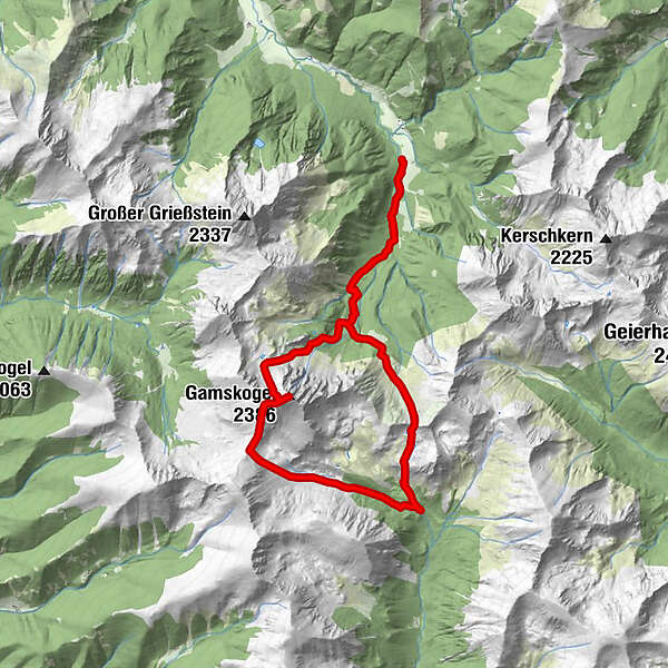
Datos del tour
16,43km
1.201
- 2.386m
1.493hm
1.493hm
08:00h
- Breve descripción
-
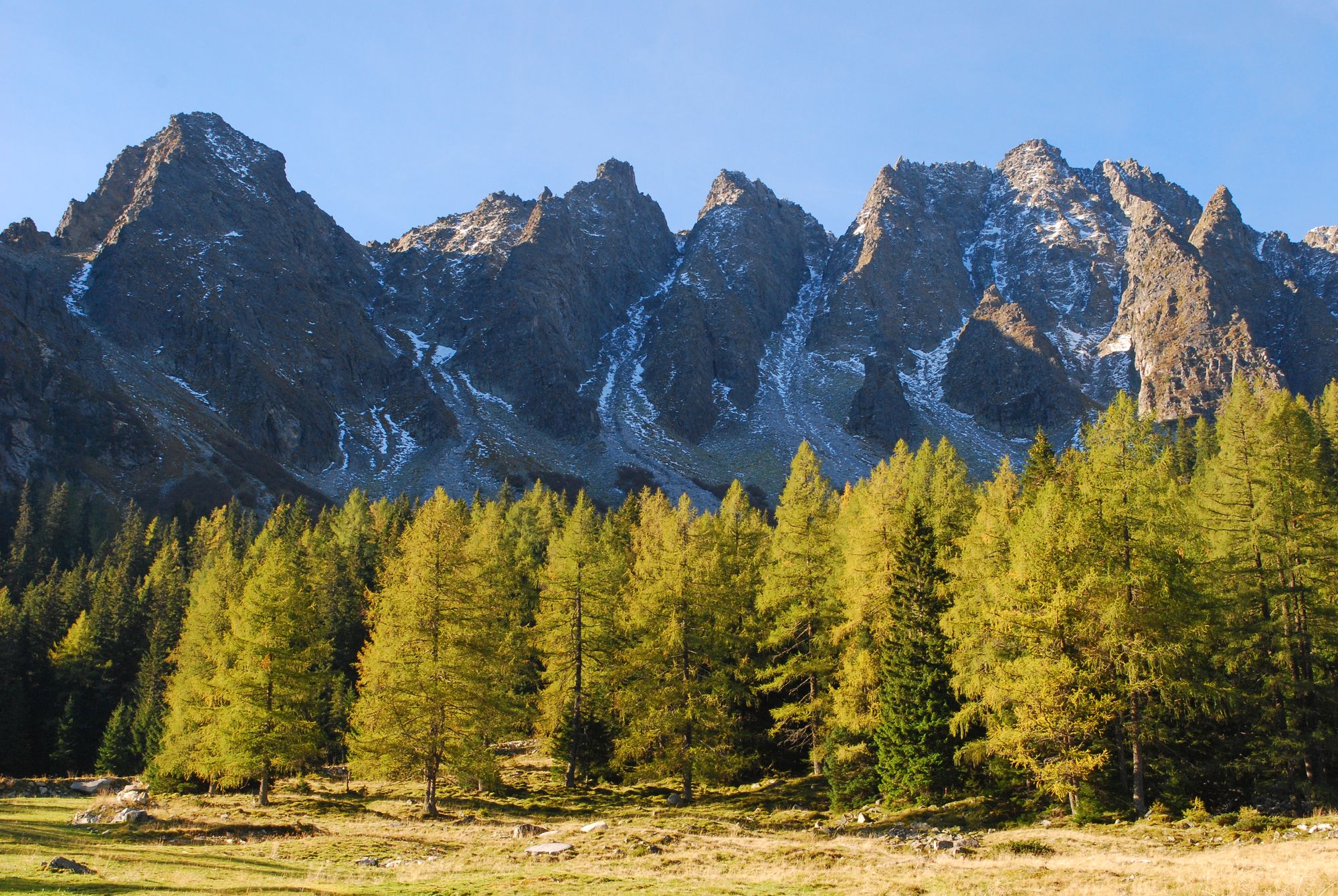
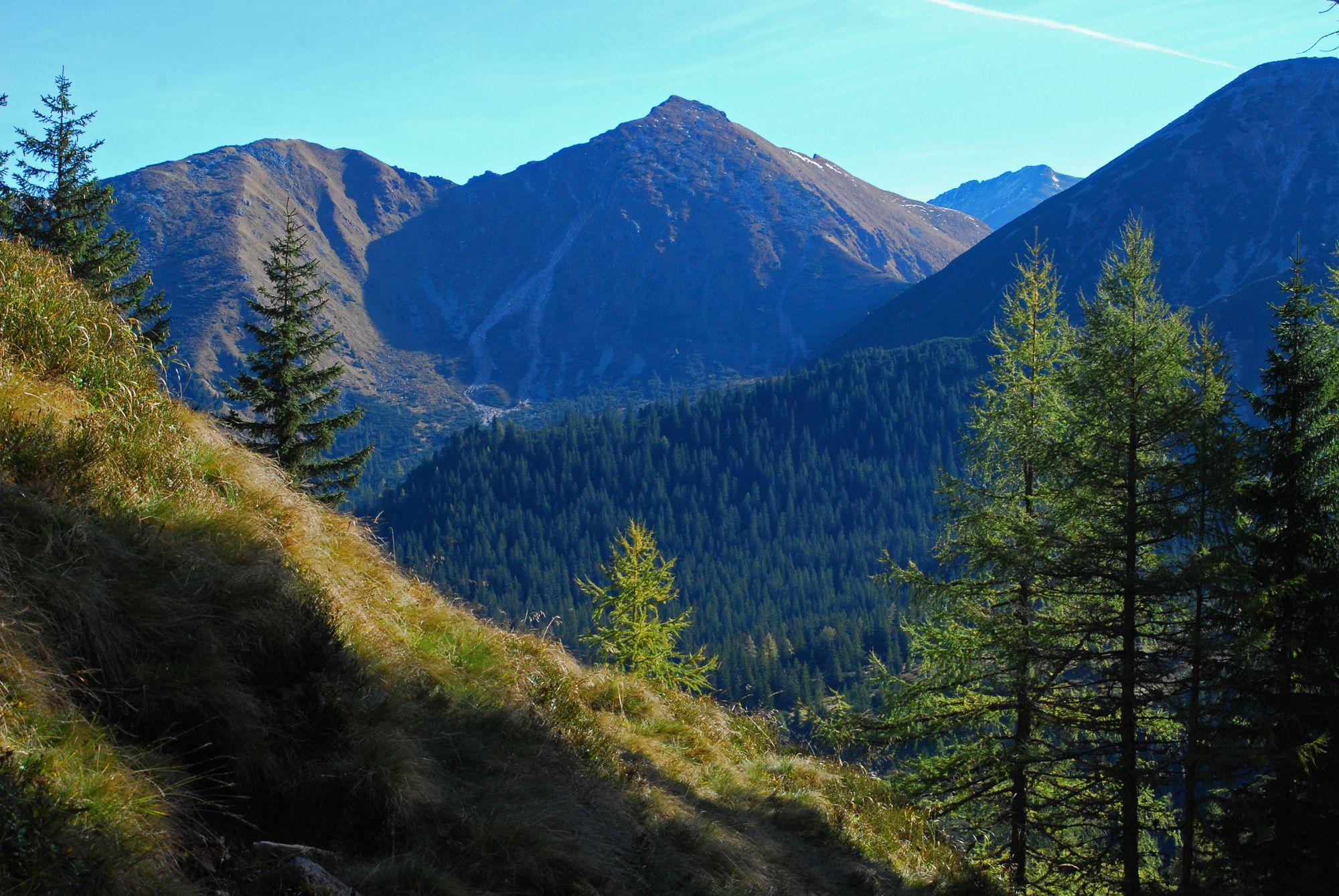
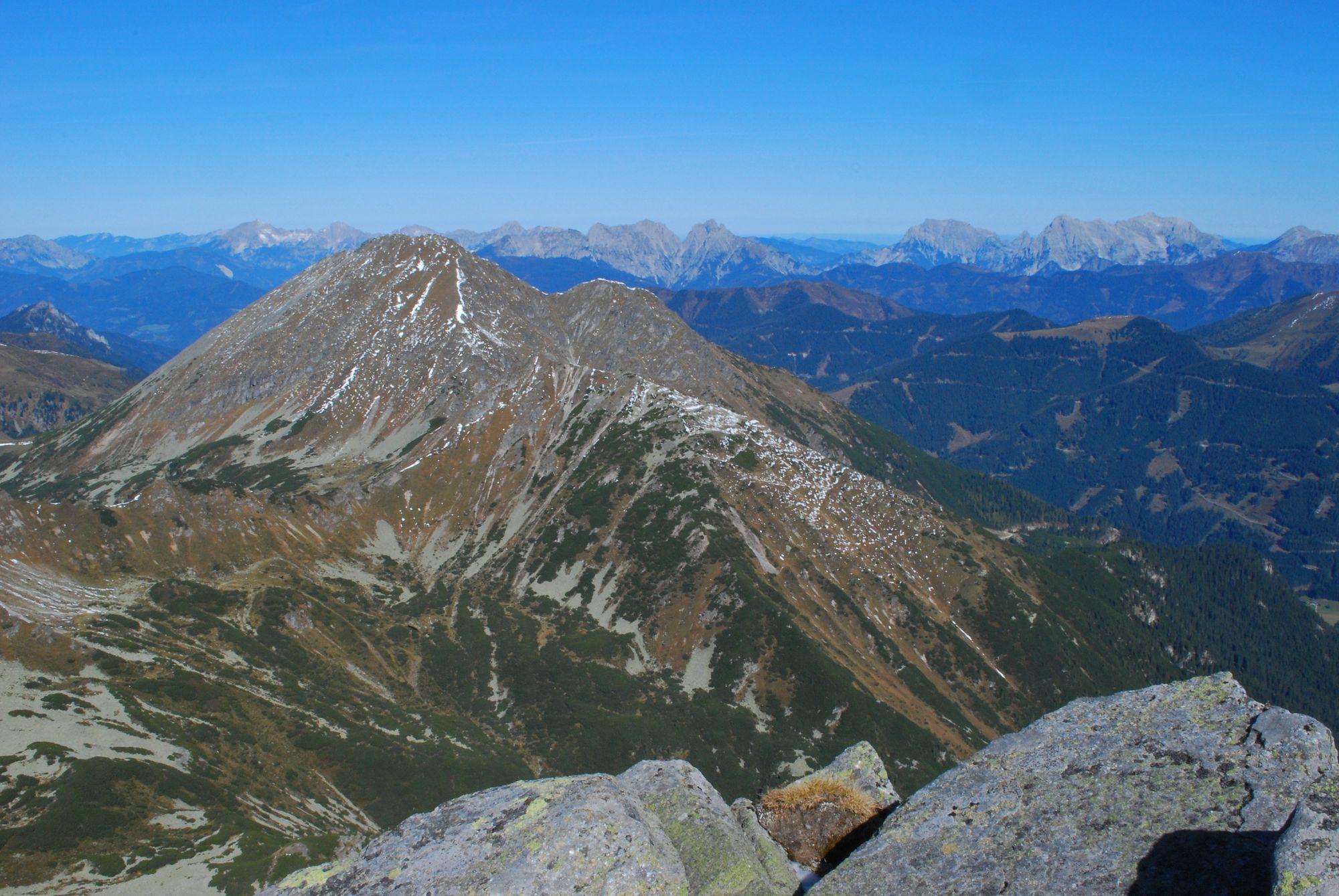
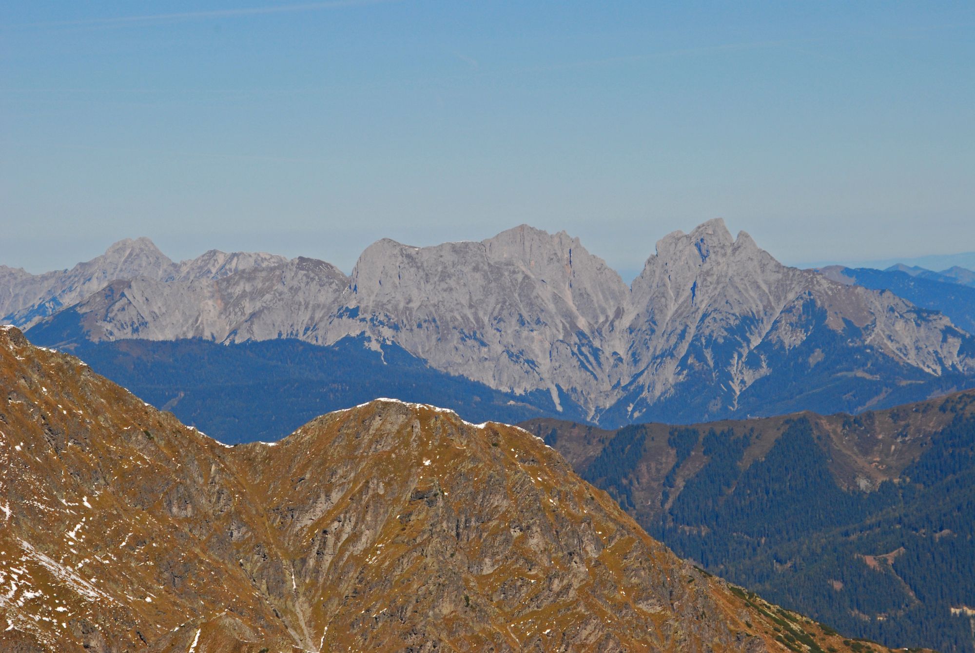
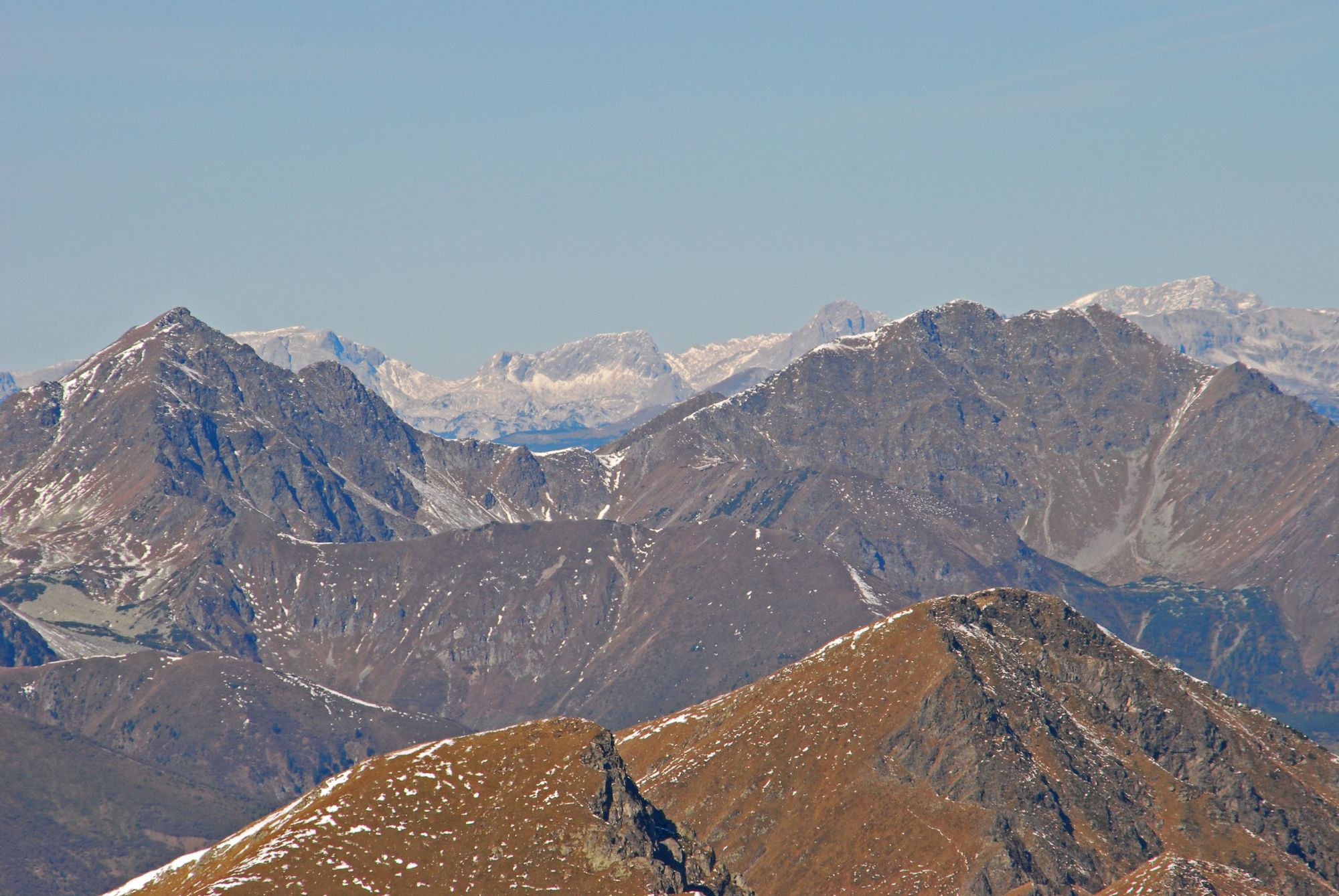
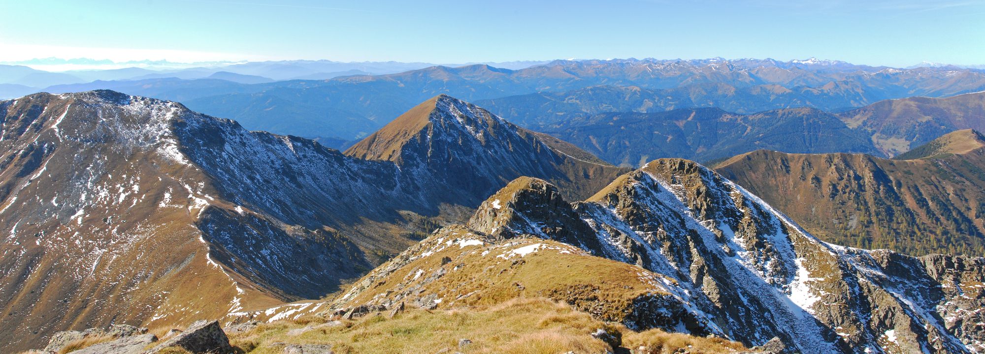
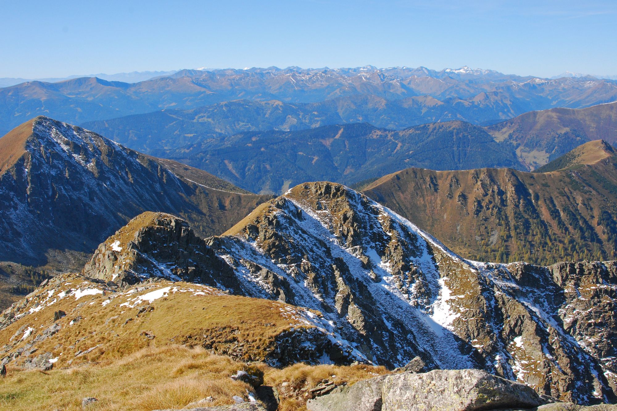
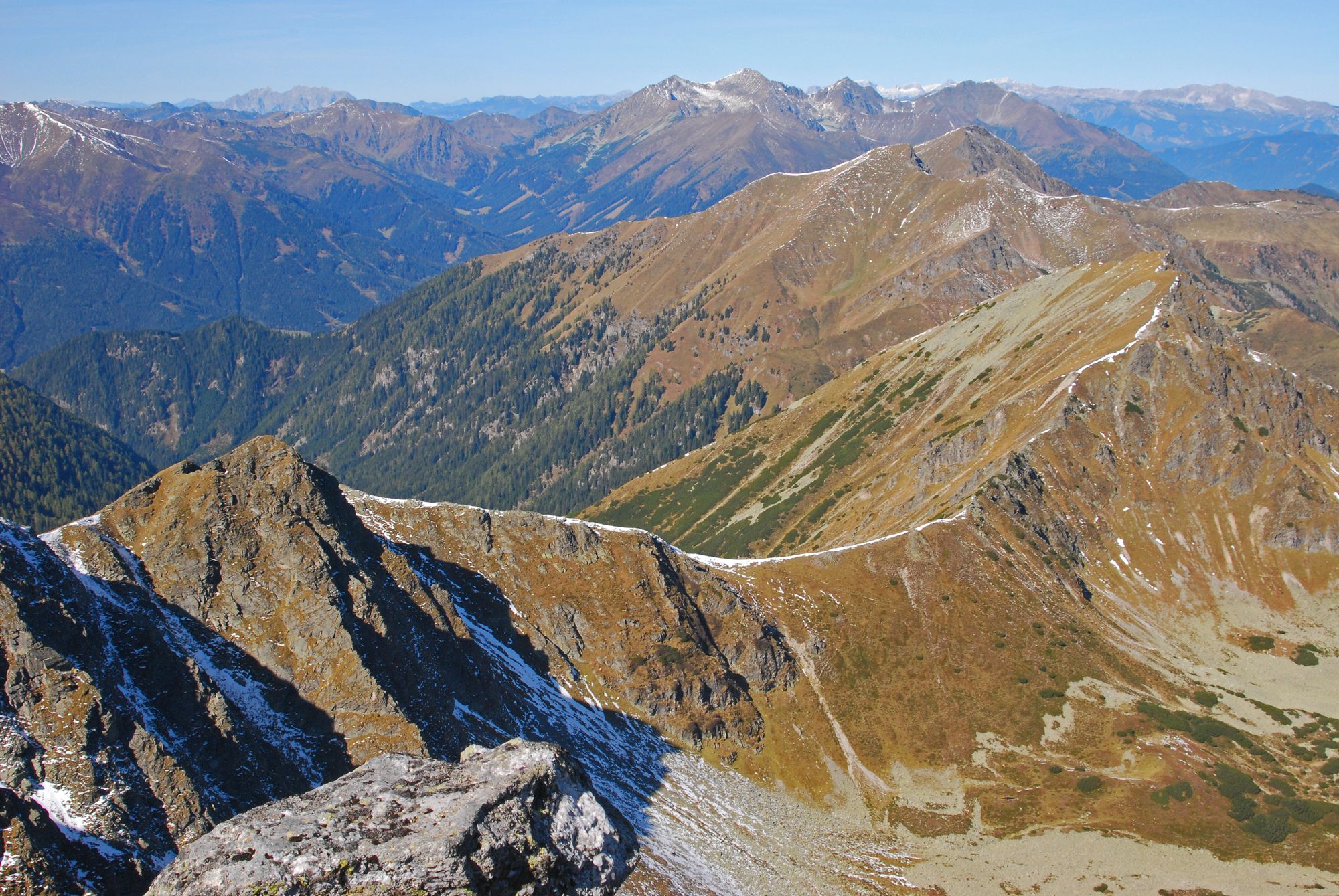
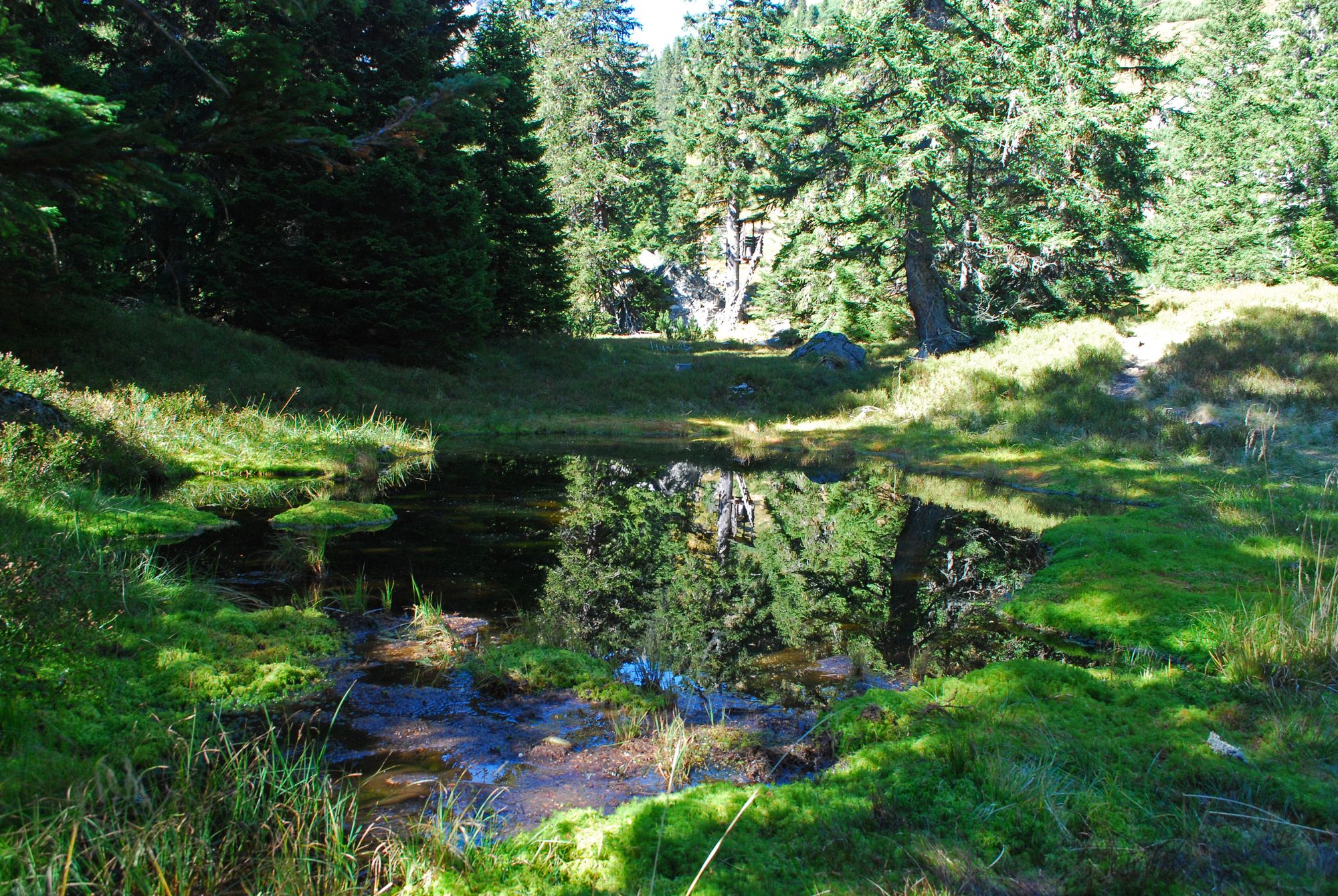
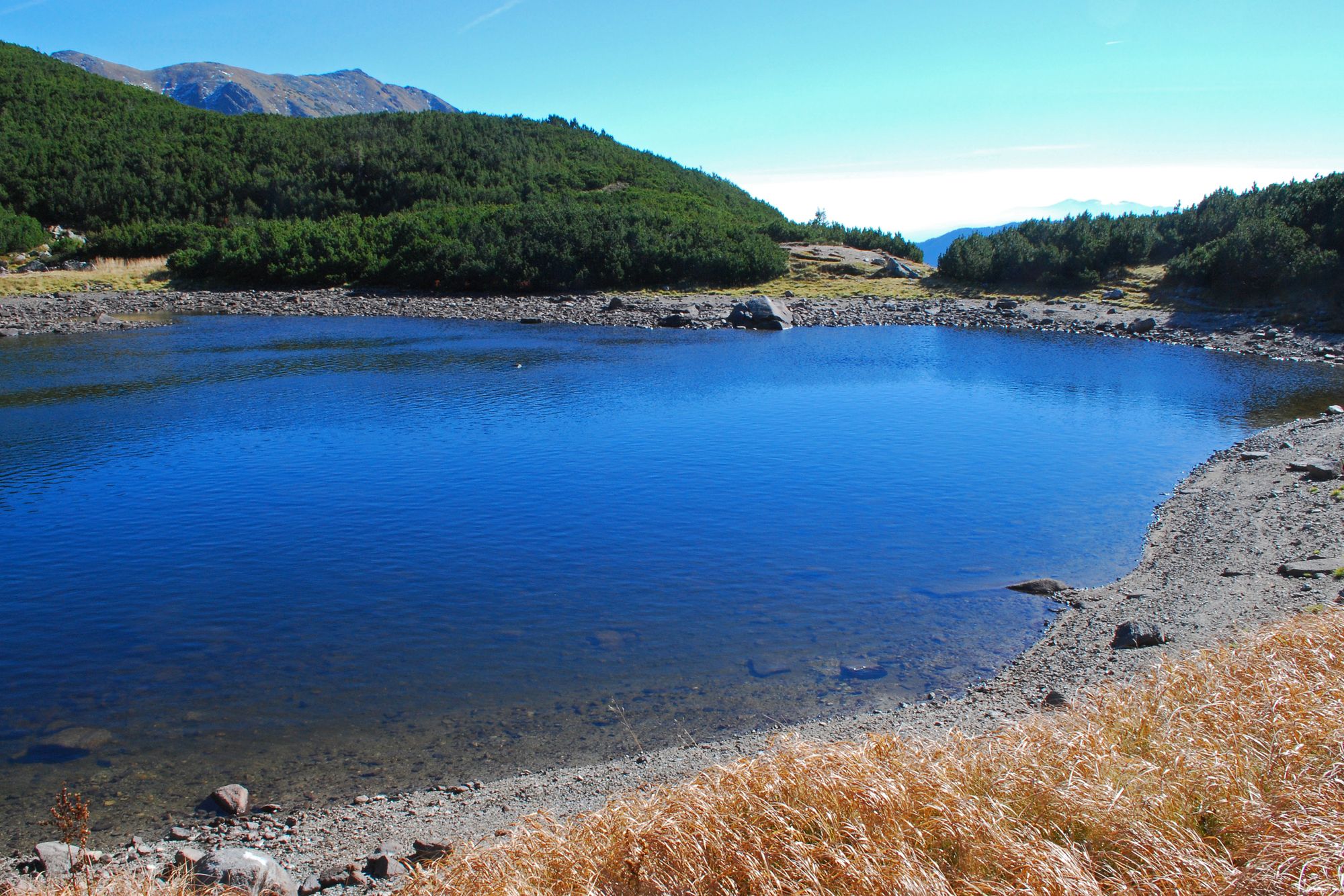
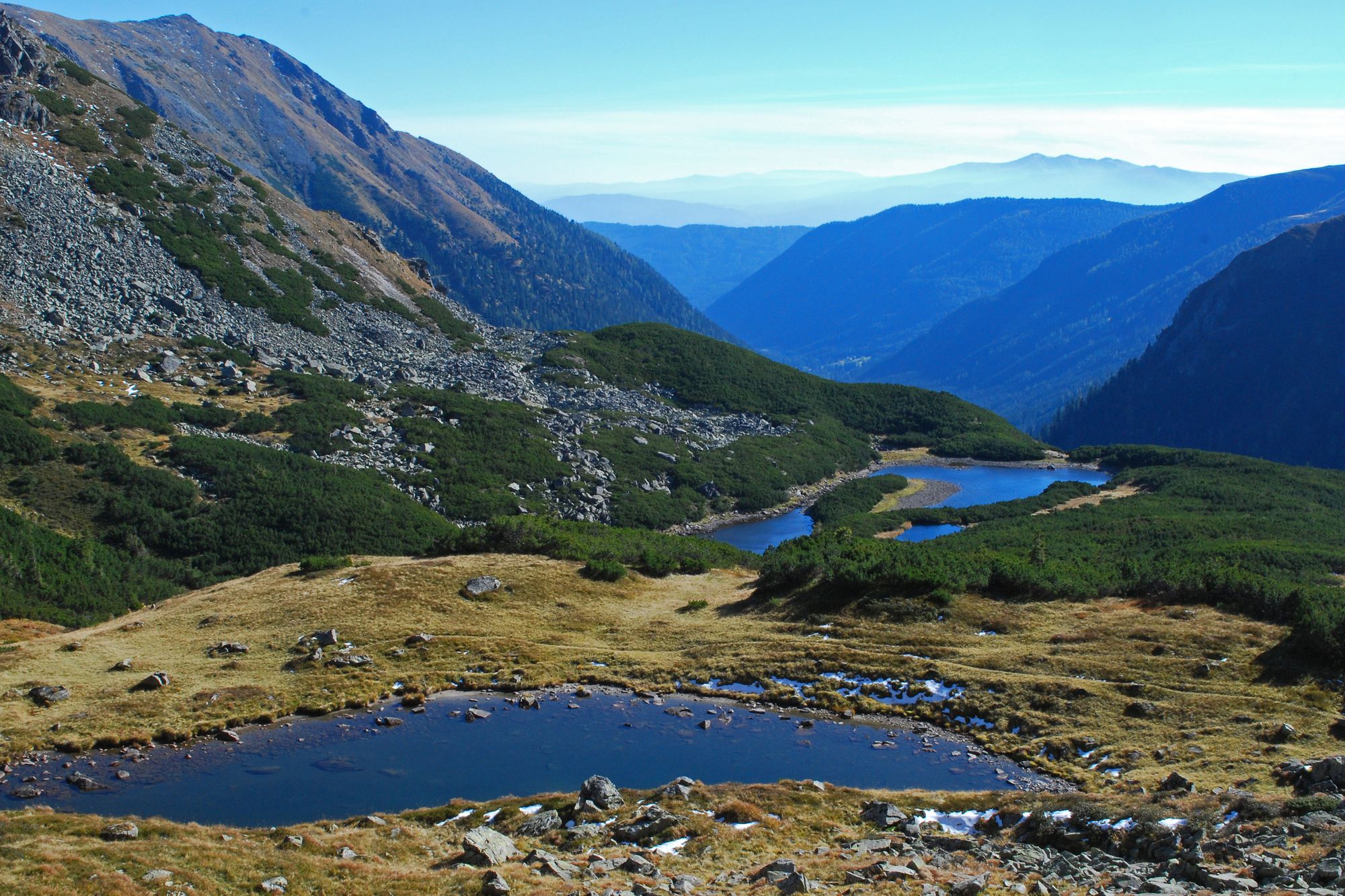
Eine konditionell anspruchsvolle, aber sehr lohnend Rundtour mit zwei recht unterschiedlichen Abschnitten, die teilweise unmarkiert und fast weglos, aber nirgends schwer zu finden ist.
- Dificultad
-
difícil
- Valoración
-
- Punto de salida
-
Gasthaus „Bergerhube“
- Ruta
-
BergerhubeMödringalm3,1 kmHochleitenspitze (2.329 m)6,0 kmMusen8,3 kmKrugtörl11,2 kmMödringalm13,1 kmBergerhube16,3 km
- La mejor temporada
-
enefebmarabrmayjunjulagosepoctnovdic
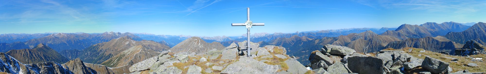
- Punto álgido
- Gamskogel (2.386 m)
- Punto final
-
Gasthaus „Bergerhube“
- Descanso/Avituallamiento
-
Gasthaus „Bergerhube“


- Fuente
- Wolfgang Drexler
GPS Downloads


Superficie de carretera
Asfalto
Gravilla
Pradera
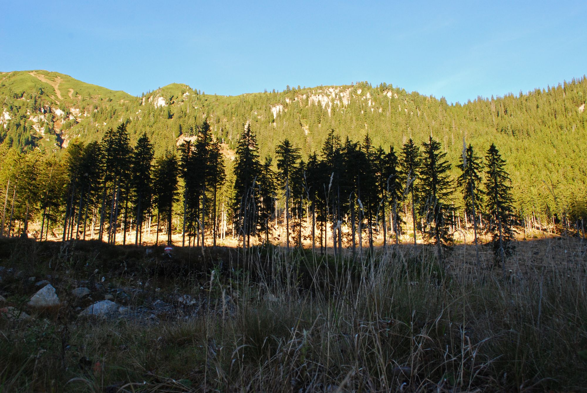
Bosque
Roca
Expuesto
Más circuitos por las regiones
-
Erlebnisregion Murtal
1782
-
Hohentauern
212


")


