© Stadtgemeinde Voitsberg - Die Abbildere, Dieter Sajovic

© Stadtgemeinde Voitsberg - Dieter Sajovic

© Stadtgemeinde Voitsberg - Dieter Sajovic

© Stadtgemeinde Voitsberg - Dieter Sajovic

© Abbilderei - Dieter Sajovic

© Abbilderei - Dieter Sajovic

© Region Graz - Gerhard Langusch

© Region Graz - Tourismusverband Lipizzanerheimat

© Stadtgemeinde Voitsberg - Dieter Sajovic

© Region Graz - TV Lipizzanerheimat_EU
- Breve descripción
-
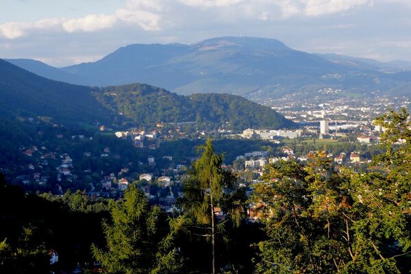
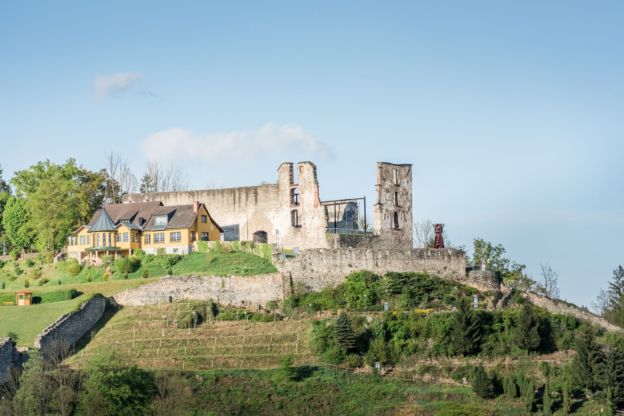
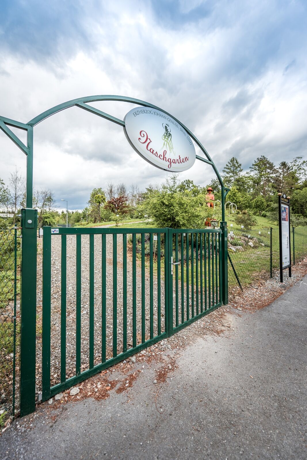
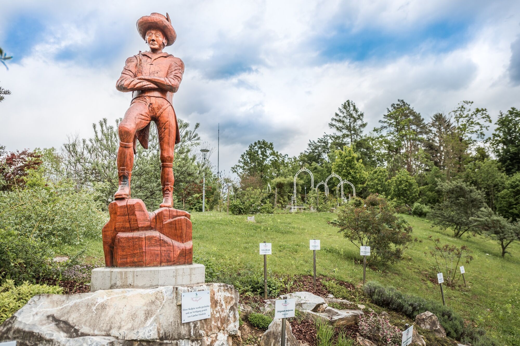
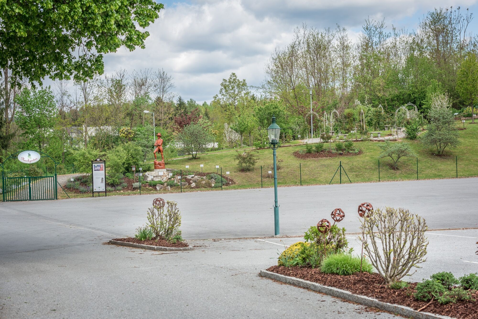
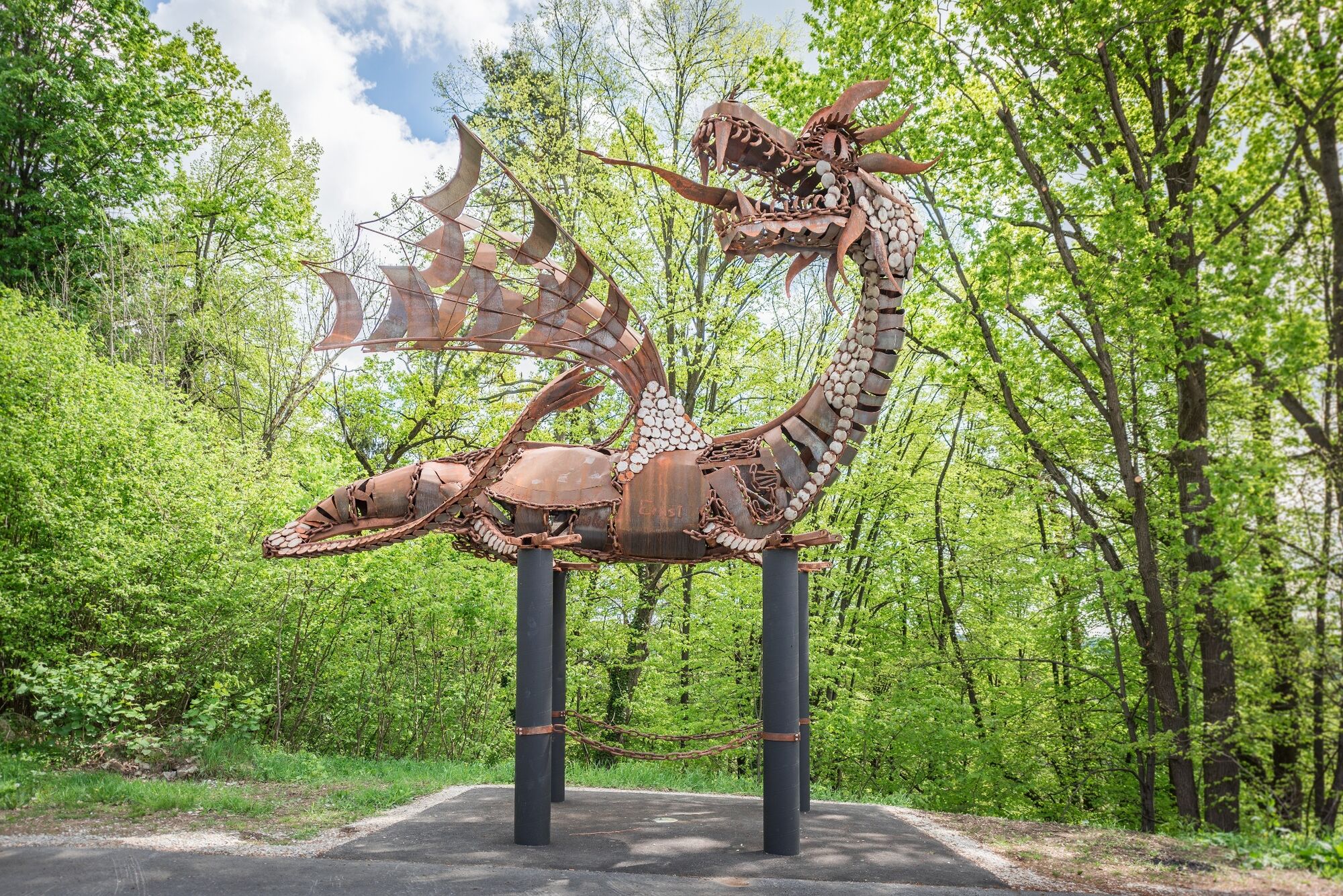
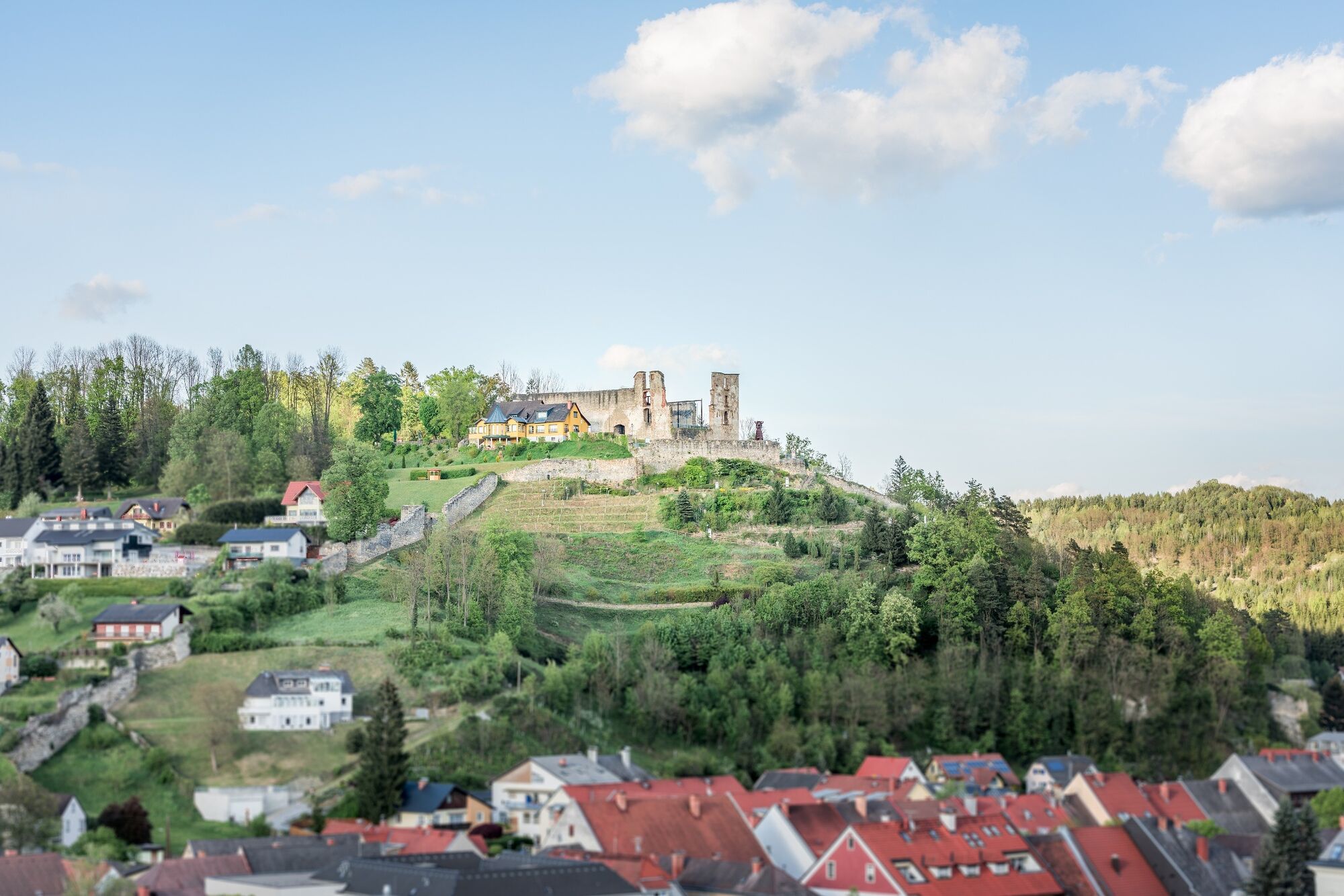
We can get to know the sunny side of the town of Voitsberg on this hike, which takes us from the town center to the rural areas up to the municipal border with Stallhofen.
- Dificultad
-
medio
- Valoración
-
- Ruta
-
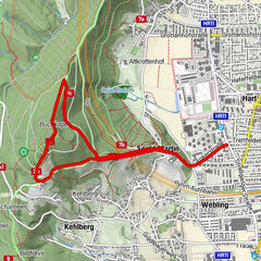
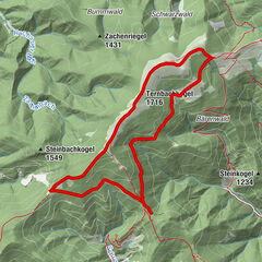
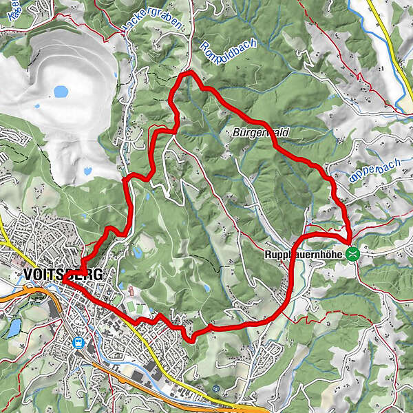
Voitsberg0,0 kmSchneiderwirt3,9 kmLobming9,1 kmGasthaus Toni Peter9,2 kmStitz-Bildstock11,1 kmVoitsberg12,7 km
- La mejor temporada
-
enefebmarabrmayjunjulagosepoctnovdic
- Punto álgido
- 590 m
- Punto final
-
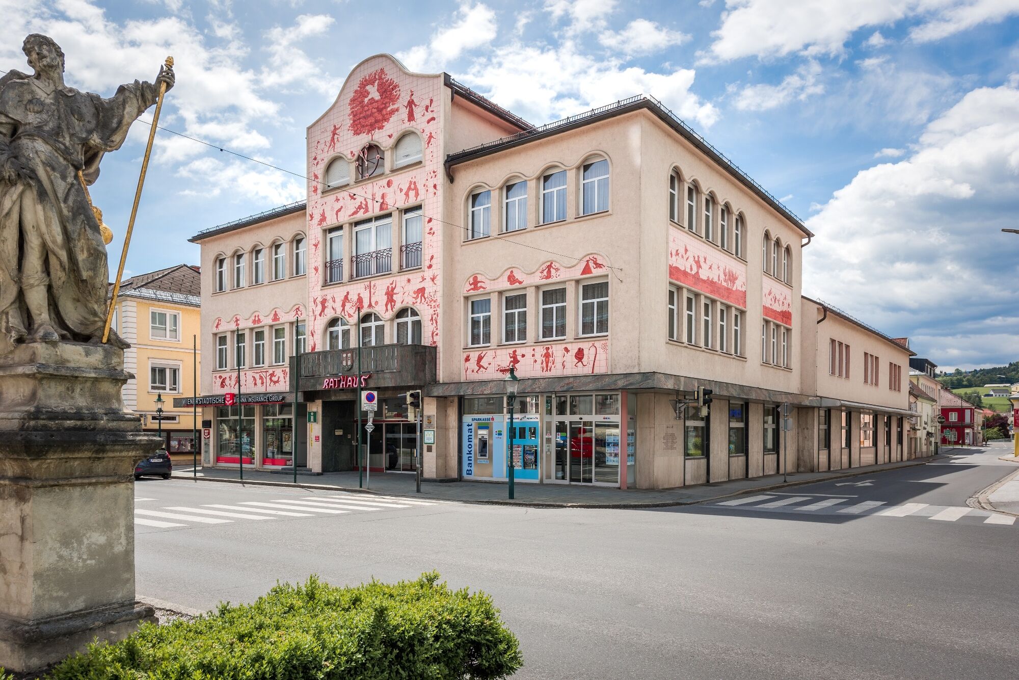
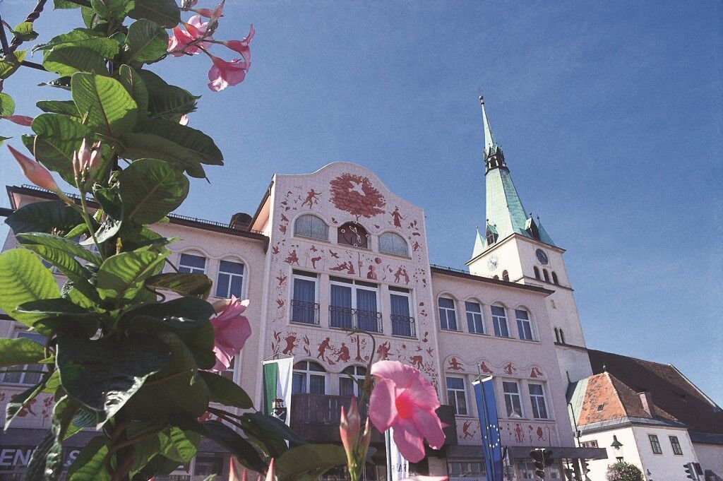
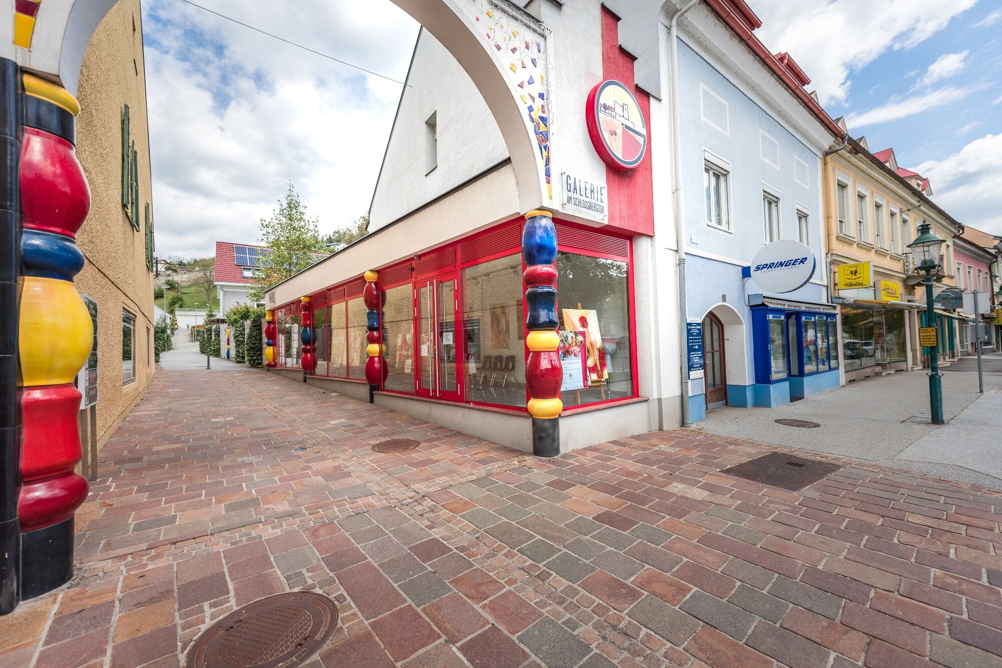
Voitsberg, Arik Brauer Town Hall
- Perfil alto
-


-

-
AutorLa gira On the sunny side of Voitsberg es utilizado por outdooractive.com proporcionado.
GPS Downloads


Información general
Punto de avituallamiento
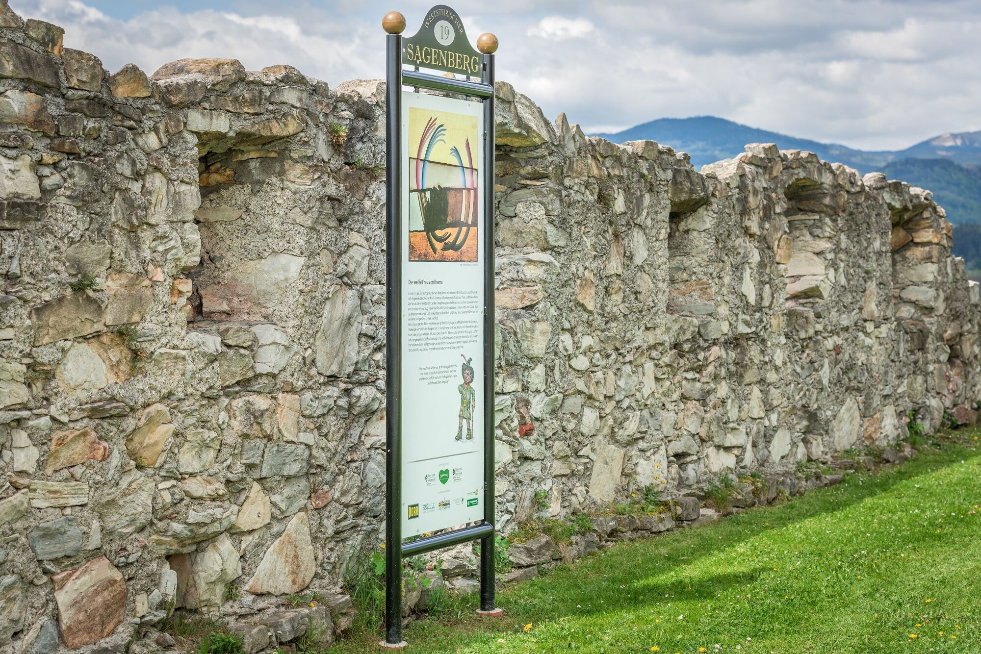
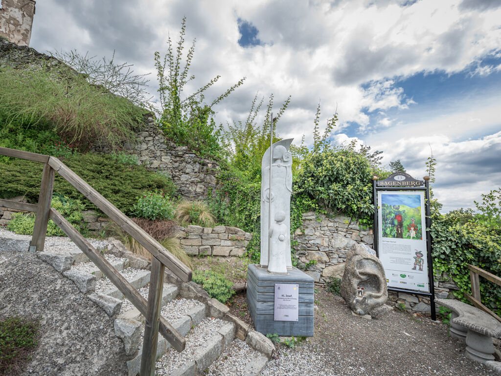
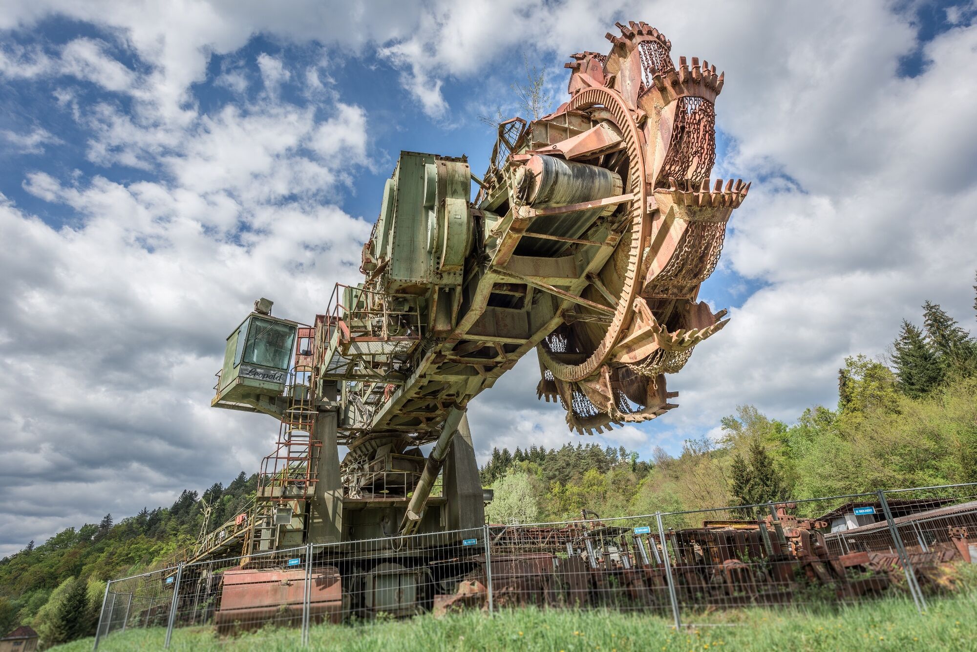
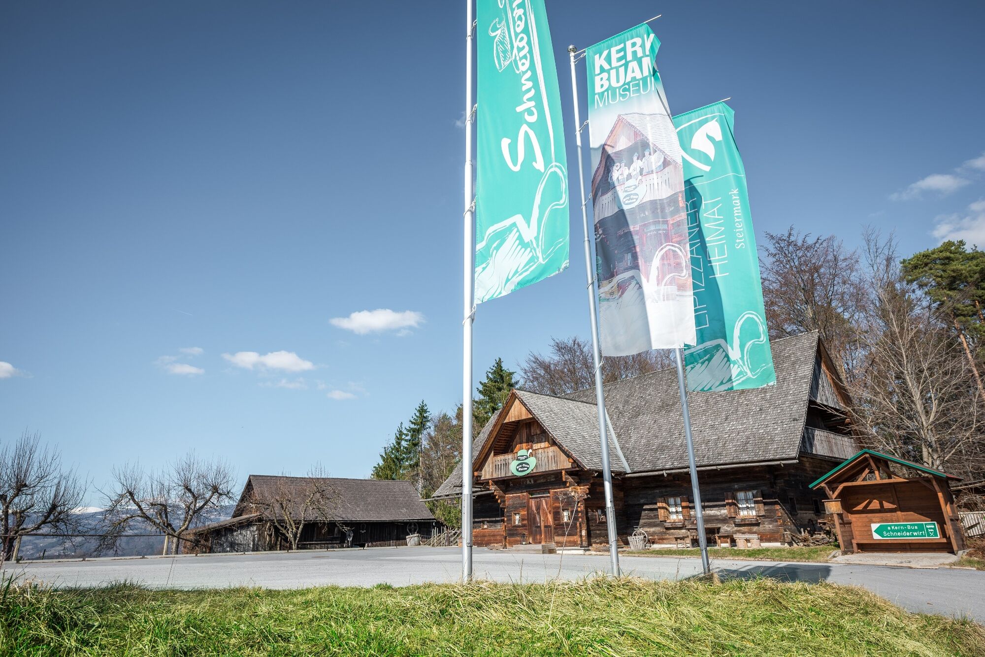
Cultural/Histórico
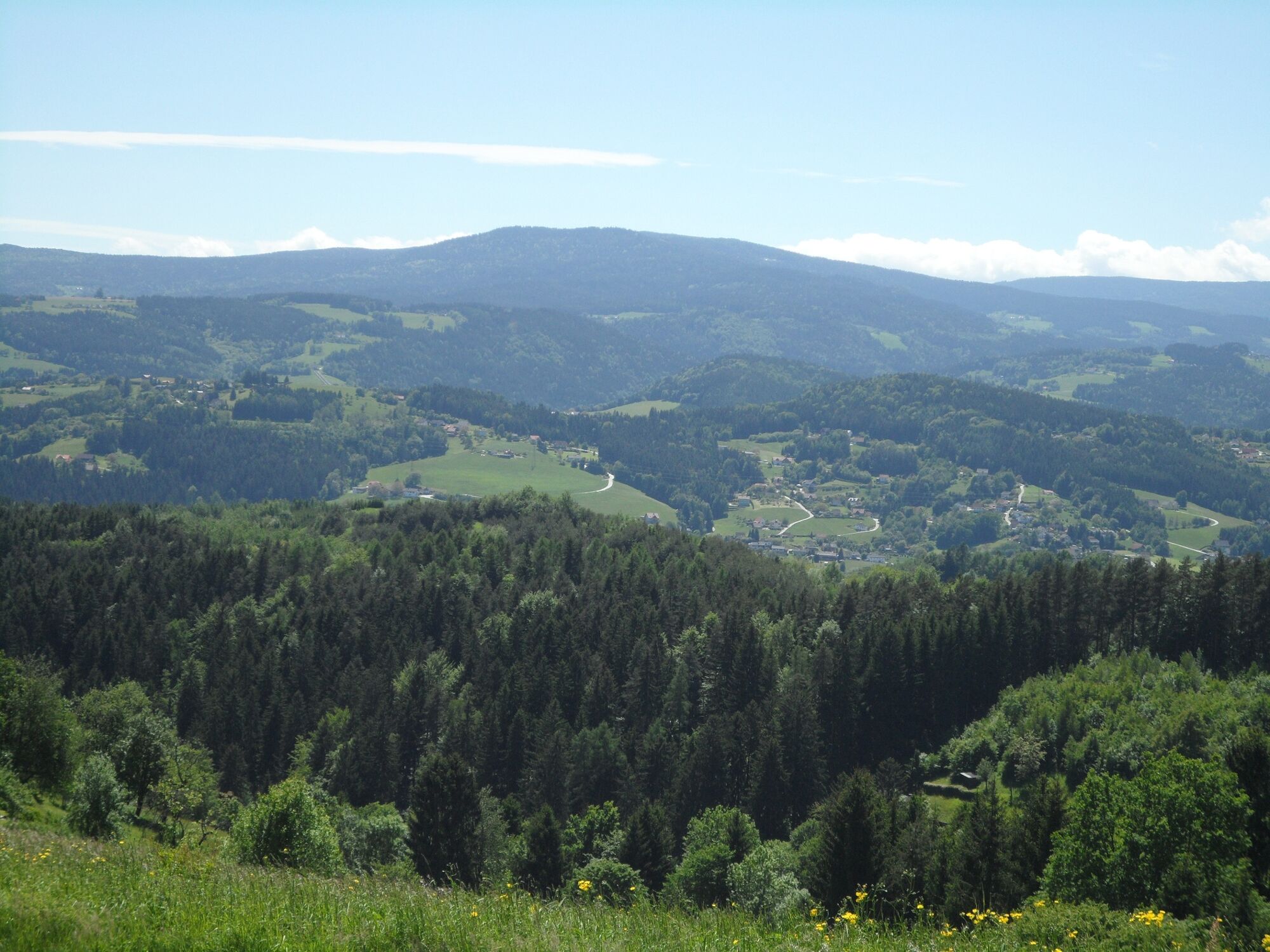
Vistas panorámicas
Más circuitos por las regiones