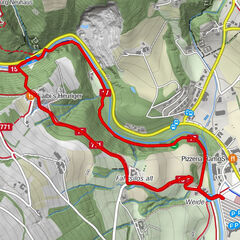
© Sepp Reitbauer

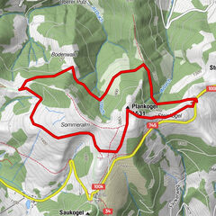
© Sepp Reitbauer - Birgit Kandlbauer

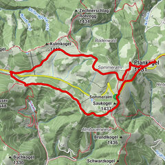
© Sepp Reitbauer

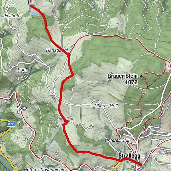
© Karl Schrotter

© Pöllabauer Wolfgang
- Breve descripción
-
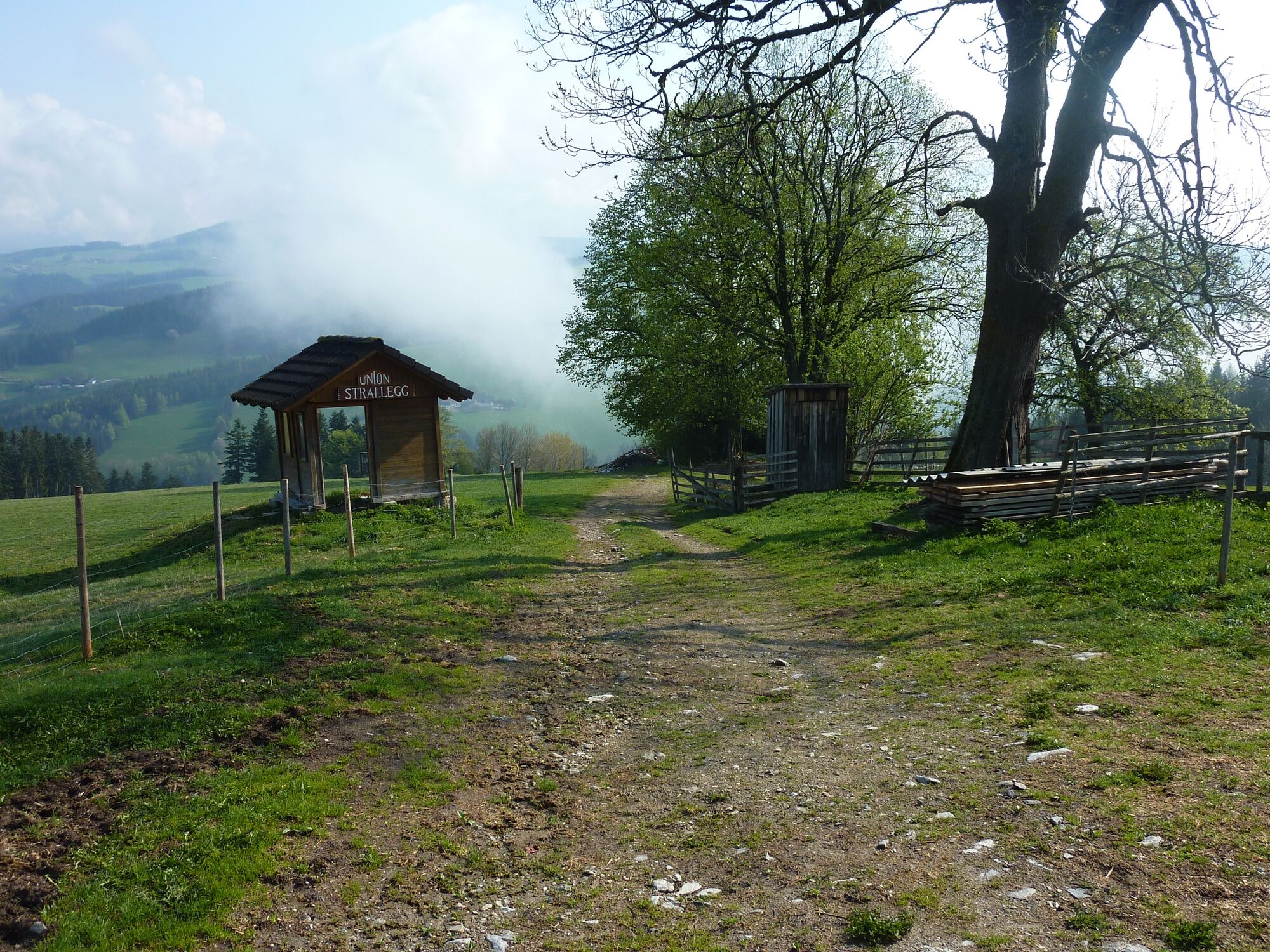
Hike from the flower village of Strallegg to the Posch snack bar and the Almblick.
- Dificultad
-
fácil
- Valoración
-
- Ruta
-
Pfarrkirche hl. Johannes der Täufer0,0 kmGasthaus Mosbacher0,1 kmStrallegg0,2 km
- La mejor temporada
-
enefebmarabrmayjunjulagosepoctnovdic
- Punto álgido
- 1.009 m
- Punto final
-
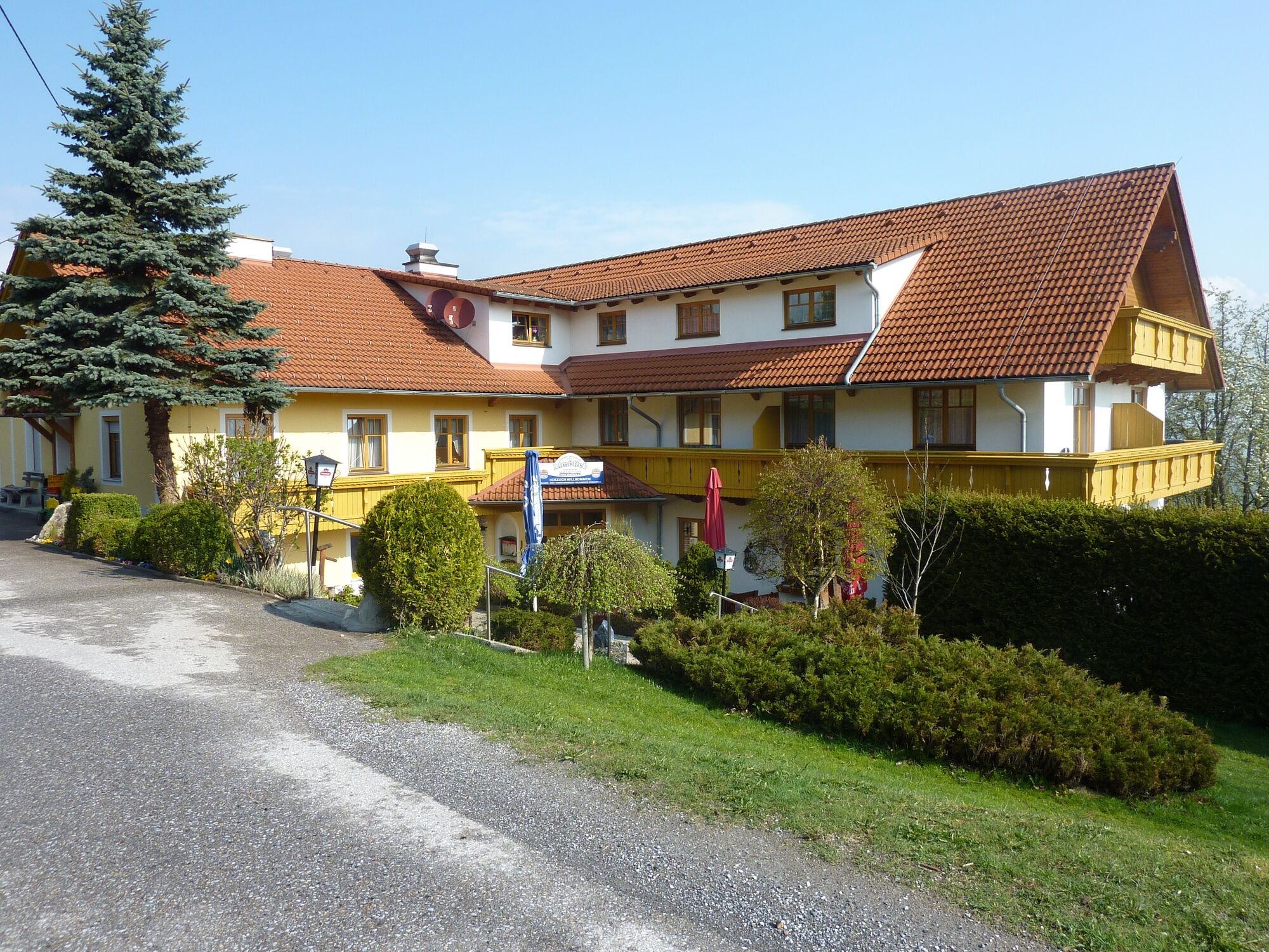
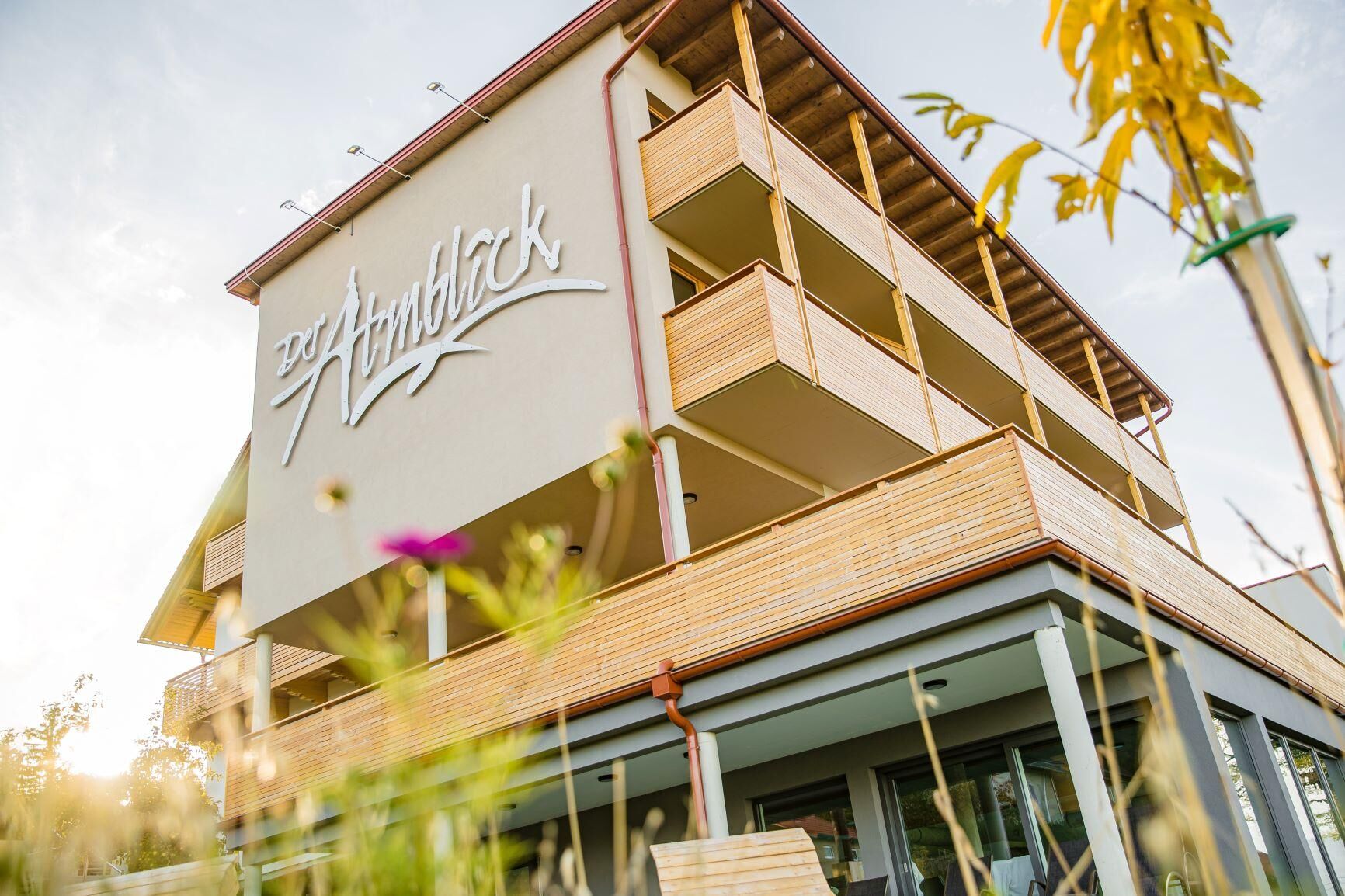
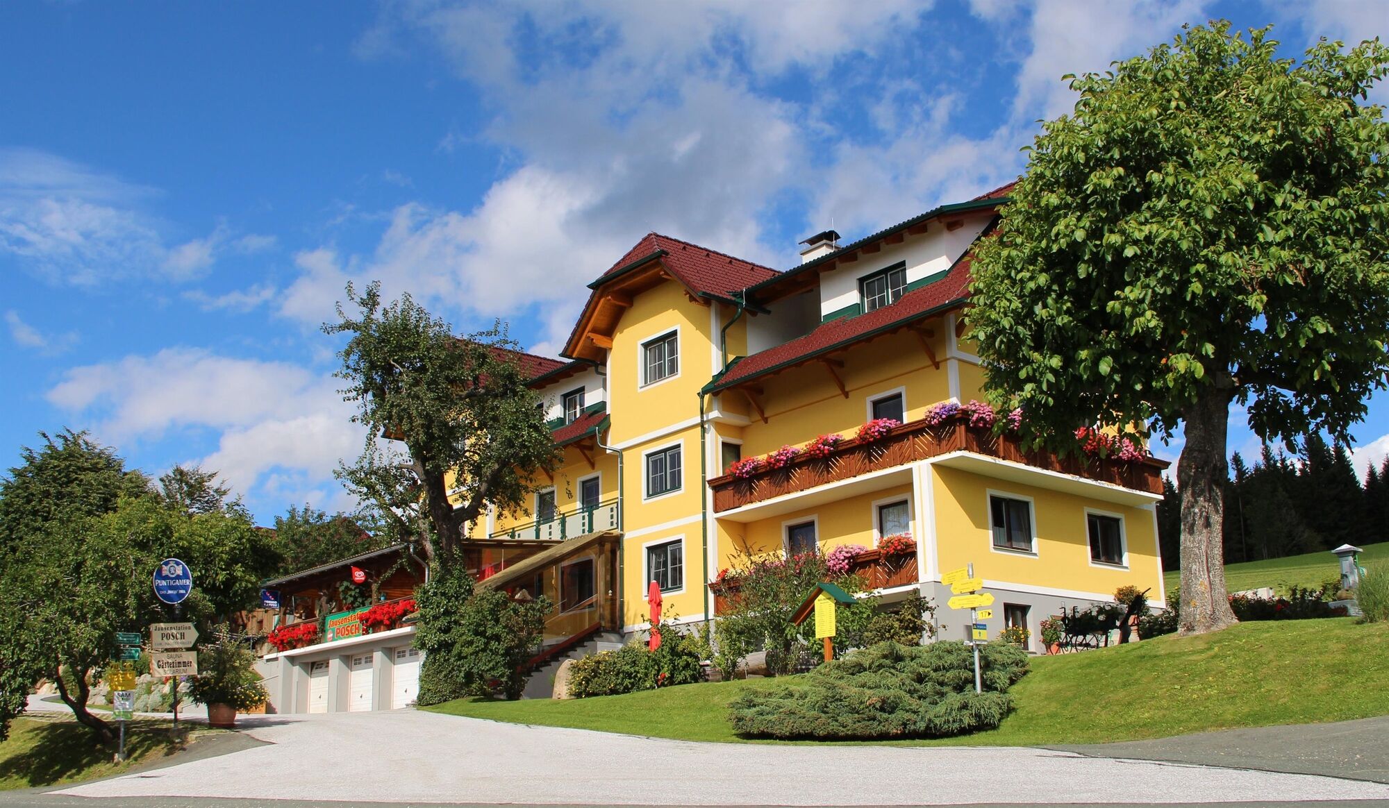
Strallegg - Jausenstation Posch - Restaurant Der Almblick
- Perfil alto
-


- Autor
-
La gira Schulmeisterhöhweg, Strallegg es utilizado por outdooractive.com proporcionado.
GPS Downloads


Información general
Punto de avituallamiento
Vistas panorámicas
Más circuitos por las regiones
-
Hochsteiermark
4072
-
Joglland - Waldheimat
1511
-
Strallegg
331