

© Oststeiermark Tourismus - TV Joglland-Waldheimat

© Oststeiermark Tourismus - Birgit Kandlbauer

© Oststeiermark Tourismus - Birgit Kandlbauer

© Oststeiermark Tourismus - TV Joglland-Waldheimat

© Oststeiermark Tourismus - TV Joglland-Waldheimat
- Breve descripción
-
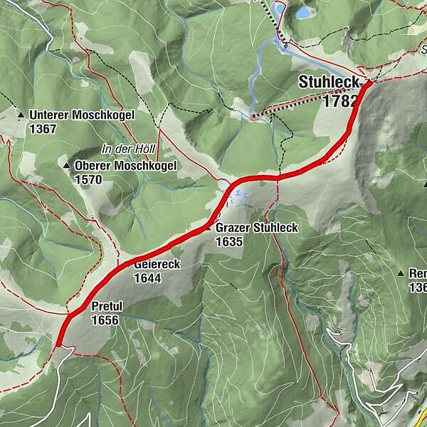
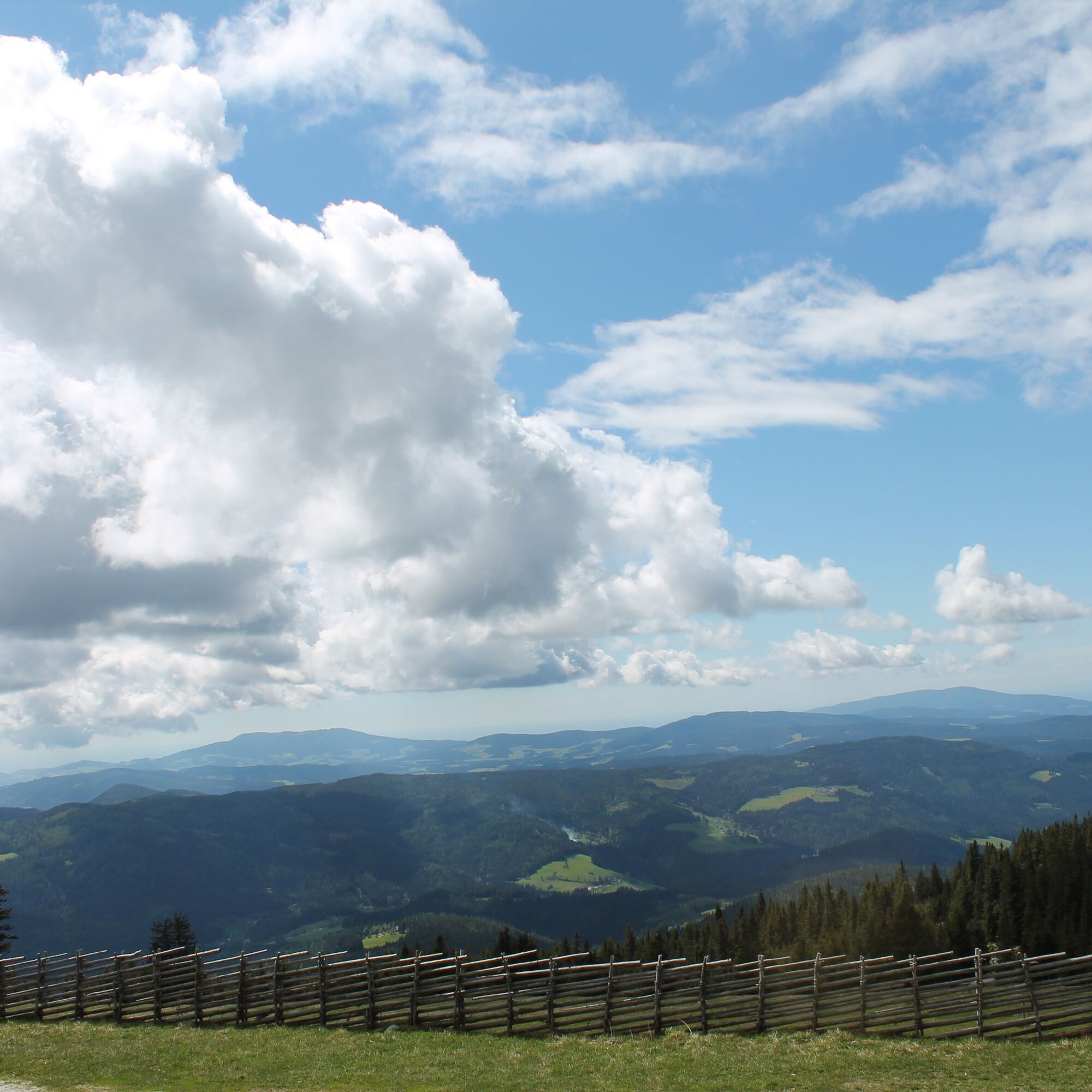
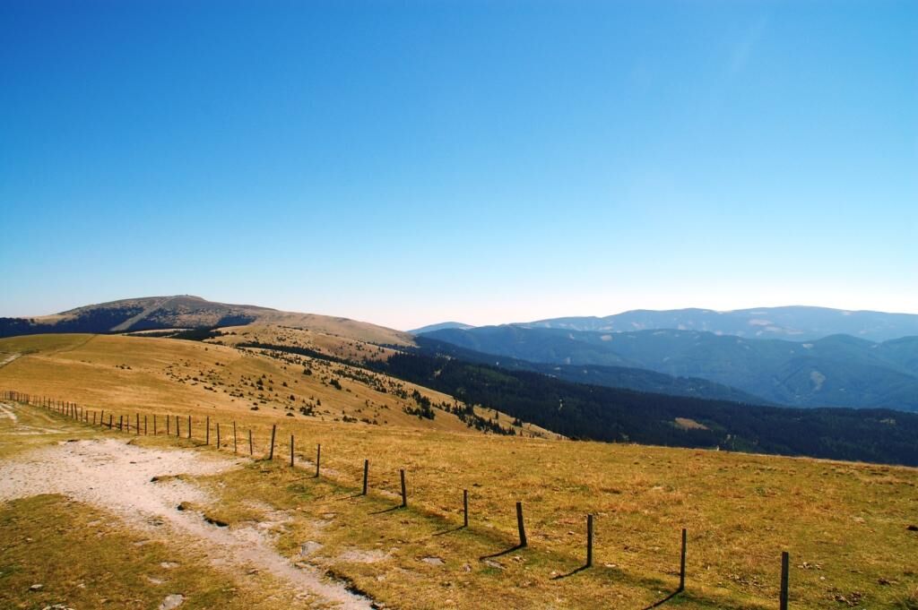
The route takes us from the “Roseggerhaus” shelter on the Pretul from 1586m over the ridge of the Pretulalpe to the Stuhleck (1782m). When the weather is nice you have a wonderful view!
- Dificultad
-
medio
- Valoración
-
- Ruta
-
Roseggerhaus0,0 kmPretul (1.656 m)0,5 kmGeiereck (1.644 m)1,2 kmGrazer Stuhleck (1.635 m)2,1 kmStuhleck (1.782 m)5,2 km
- La mejor temporada
-
enefebmarabrmayjunjulagosepoctnovdic
- Punto álgido
- 1.770 m
- Punto final
-
Alois Günther House at Stuhleck
- Perfil alto
-


- Autor
-
La gira From the Pretul to the Stuhleck es utilizado por outdooractive.com proporcionado.
GPS Downloads


Información general
Punto de avituallamiento
Vistas panorámicas
Más circuitos por las regiones
-
Hochsteiermark
4084
-
Waldheimat
2198
-
Rettenegg
459


