Datos del tour
7,99km
1.629
- 2.353m
809hm
543hm
05:24h
- Dificultad
-
fácil
- Valoración
-
- Ruta
-
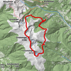
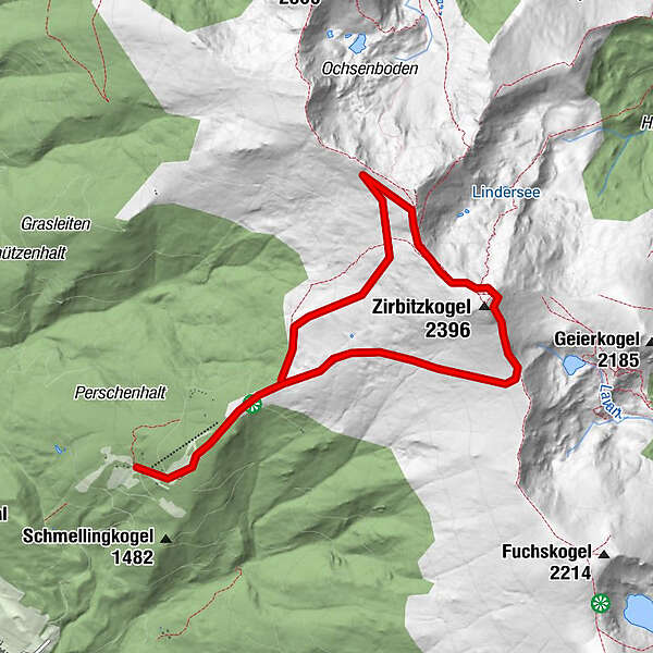
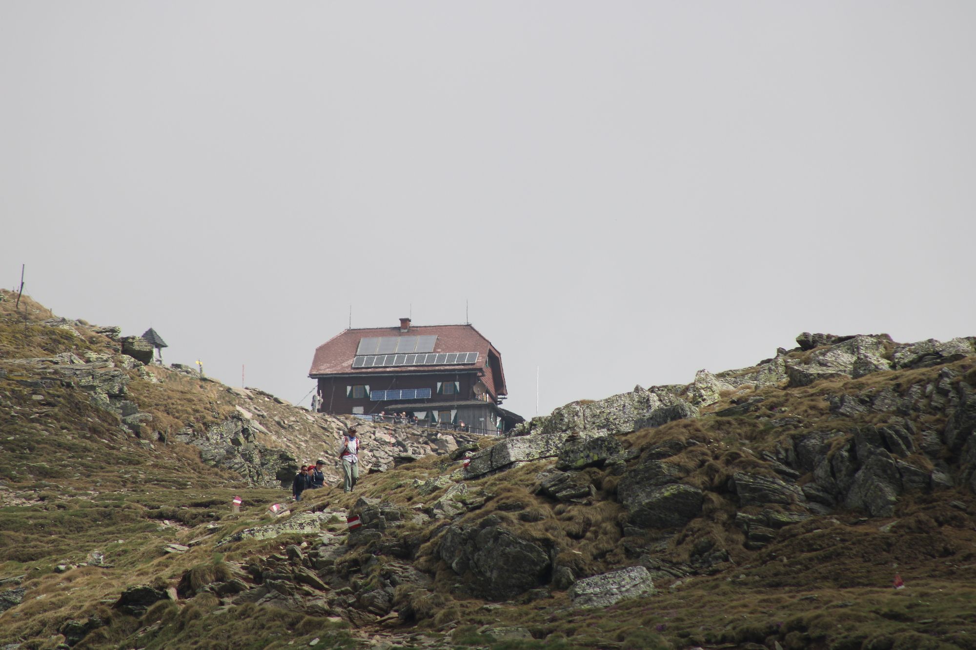
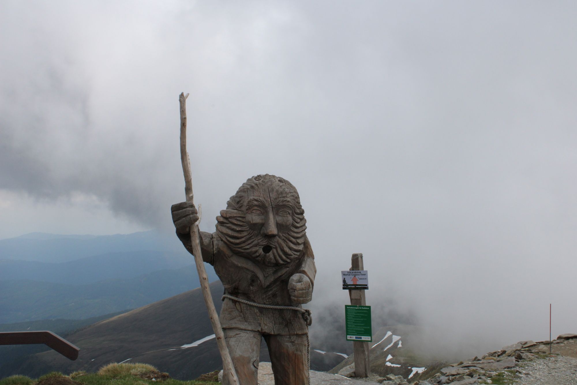
TonnerhütteZirbitzkogel (2.396 m)4,0 kmZirbitzkogel Schutzhaus4,2 km
- Punto álgido
- Zirbitzkogel (2.353 m)


GPS Downloads

Más circuitos por las regiones