Stoderzinken - Brunnerhütte - Grafenbergalm - Grafenbergsee - Ahornsee - Kneippanlage Weißenbach

Senderismo

© TVB Schadming-Dachstein - René Eduard Perhab

© TVB Schadming-Dachstein - René Eduard Perhab

© TVB Schadming-Dachstein - René Eduard Perhab

© TVB Schadming-Dachstein - René Eduard Perhab
Datos del tour
14,06km
743
- 1.817m
224hm
1.291hm
05:00h

- Breve descripción
-
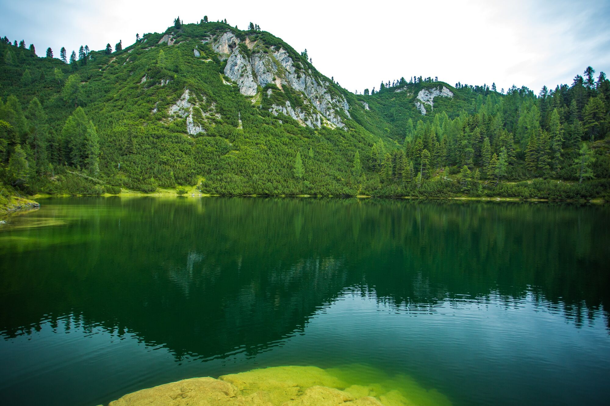
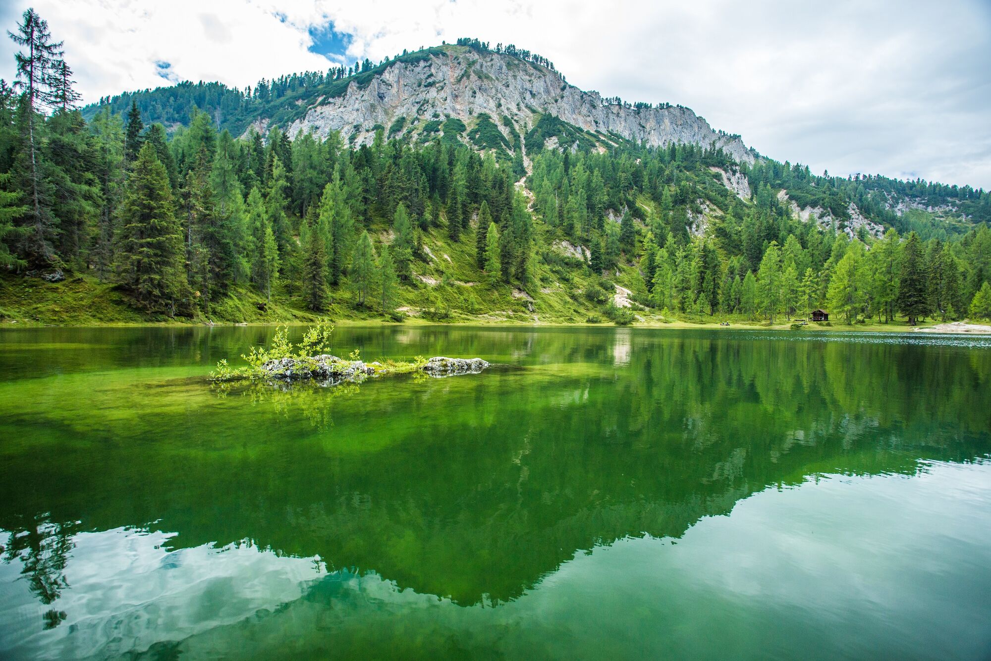
traumhafte Wanderung im Kalk
- Dificultad
-
medio
- Valoración
-
- Punto de salida
-
Parkplatz Rossfeld oder Steinerhaus am Stoderzinken
- Ruta
-
Stoder0,0 kmBrünner Hütte0,8 kmSchwiegermuttersprung4,0 kmGradenbachwasserfall11,6 km
- La mejor temporada
-
enefebmarabrmayjunjulagosepoctnovdic
- Punto álgido
- 1.817 m
- Punto final
-
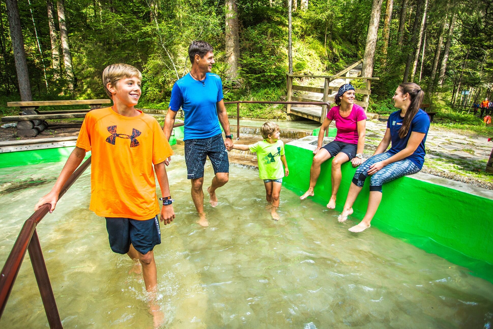
Kneippanlage Weißenbach
- Descanso/Avituallamiento
-
keine entlang der Wanderung
- Material cartográfico
-
Wanderkarte Schladming-Dachstein; Maßstab: 1:50.000

- Teléfono de información
-
+43 3687 23310
- Link
- www.schladming-dachstein.at
GPS Downloads


Superficie de carretera
Asfalto
Gravilla
Pradera
Bosque
Roca
Expuesto
Más circuitos por las regiones
-
Schladming - Dachstein
3001
-
Haus - Aich
1365
-
Haus im Ennstal
368


