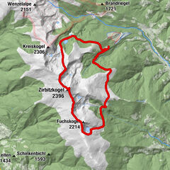
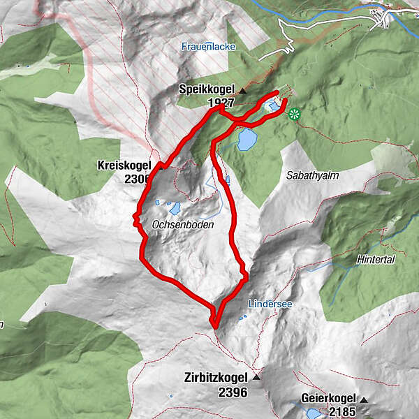
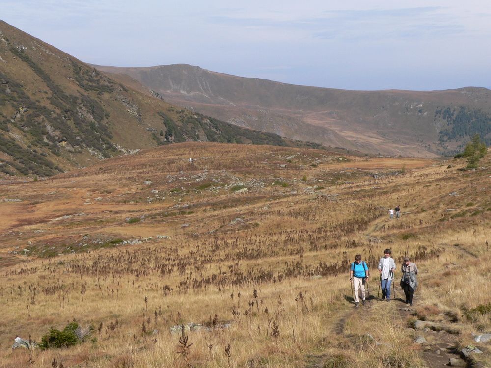
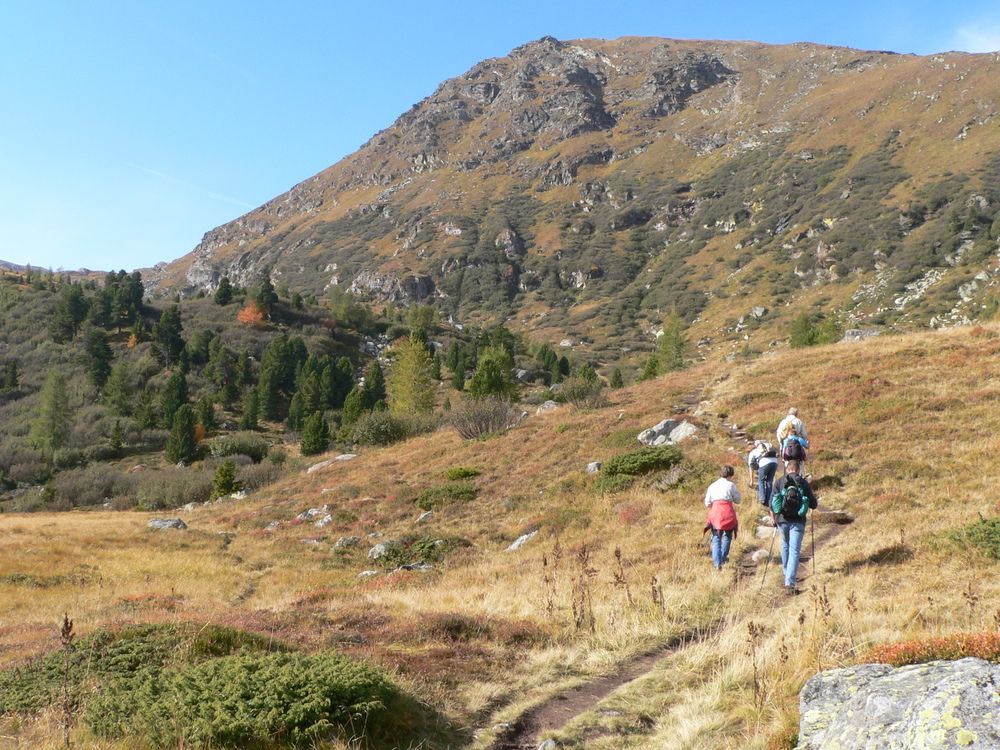
Winterleitenhütte- Scharfes Eck- Kreiskogel

Senderismo

Datos del tour
8,4km
1.773
- 2.345m
667hm
05:30h
- Breve descripción
-
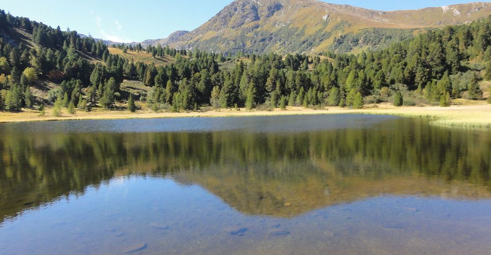
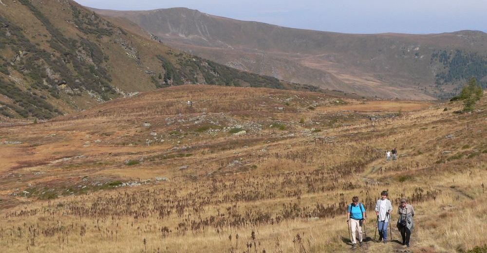
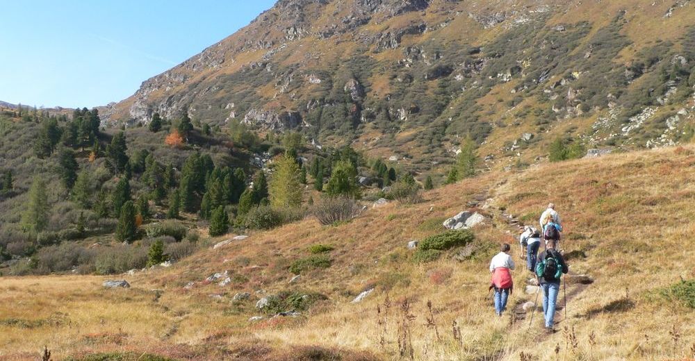
sehr schöne Höhenwanderung
- Valoración
-
- Punto de salida
-
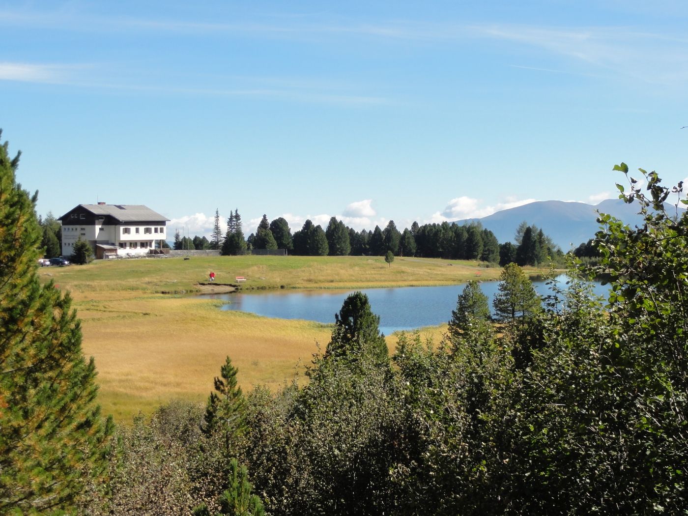
Winterleitenhütte
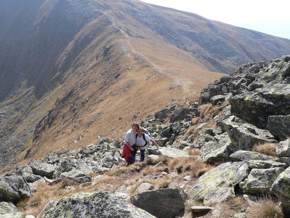
- Ruta
-
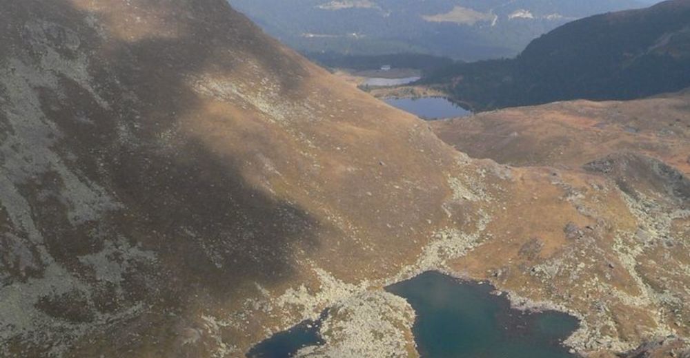
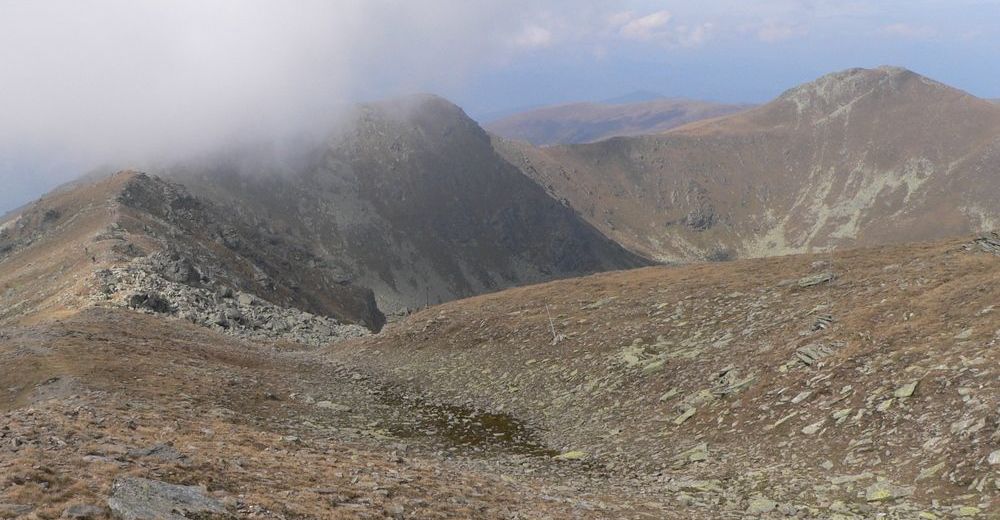
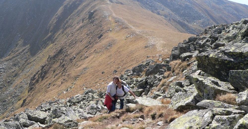
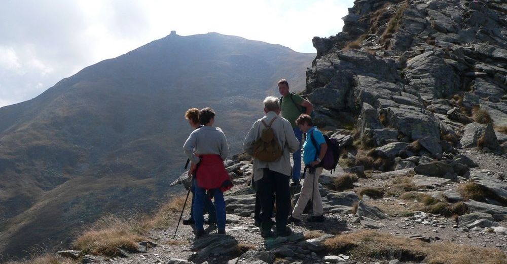
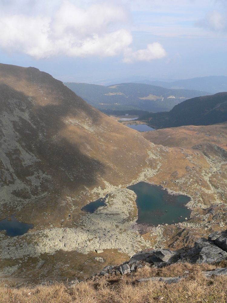
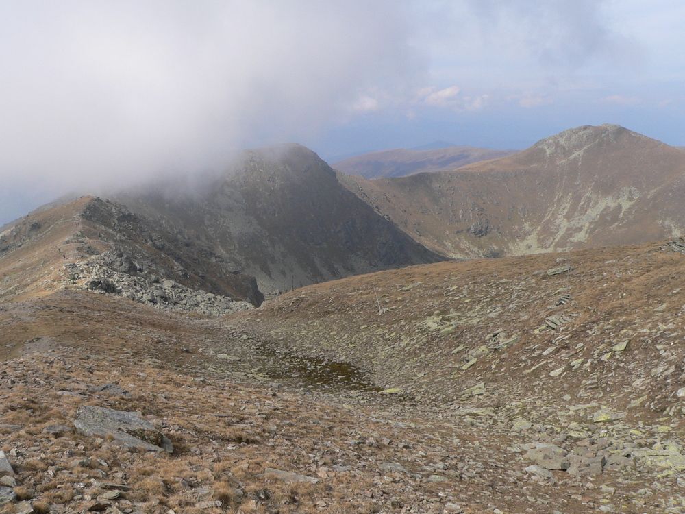
Winterleitenhütte0,0 kmScharfes Eck (2.364 m)4,0 kmKreiskogel (2.306 m)6,3 kmÖDK-Hütte8,2 km
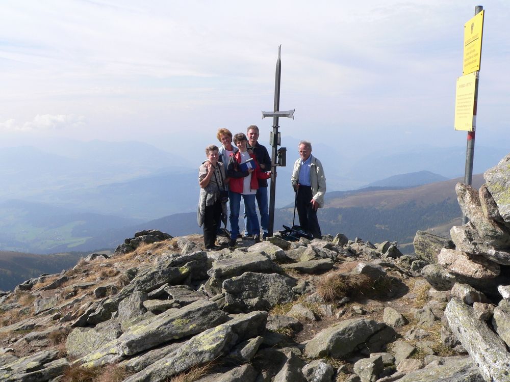
- Punto álgido
- 2.345 m
- Descanso/Avituallamiento
-
Winterleitenhütte und Zirbitzkogelhaus
- Material cartográfico
-
Österr. Karte Nr. 160 Neumarkt

GPS Downloads


Superficie de carretera
Asfalto
Gravilla
Pradera
Bosque
Roca
Expuesto
Más circuitos por las regiones