Via Plannersee and Plannerknot to the Hochrettelstein

Senderismo


- Breve descripción
-
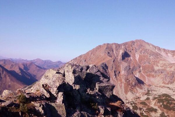
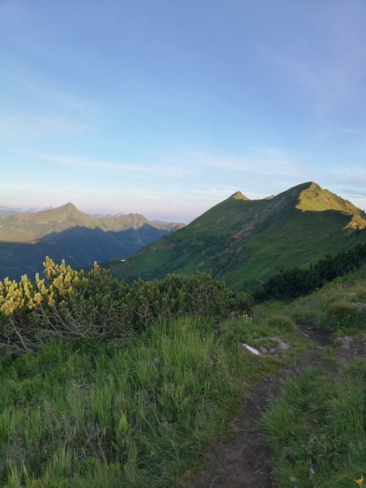
Impressive half-day tour in the highest mountain village of Styria.
- Dificultad
-
medio
- Valoración
-
- Ruta
-
Bergrettungshütte0,0 kmHochrettelstein (2.220 m)3,7 kmBergrettungshütte7,3 km
- La mejor temporada
-
enefebmarabrmayjunjulagosepoctnovdic
- Punto álgido
- 2.199 m
- Punto final
-
Planneralm
- Perfil alto
-


-

-
AutorLa gira Via Plannersee and Plannerknot to the Hochrettelstein es utilizado por outdooractive.com proporcionado.
GPS Downloads


Información general
Flora
Vistas panorámicas
Más circuitos por las regiones