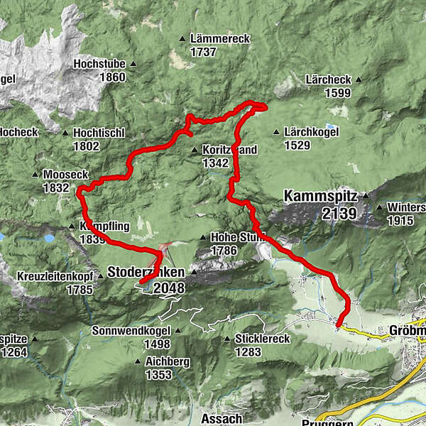
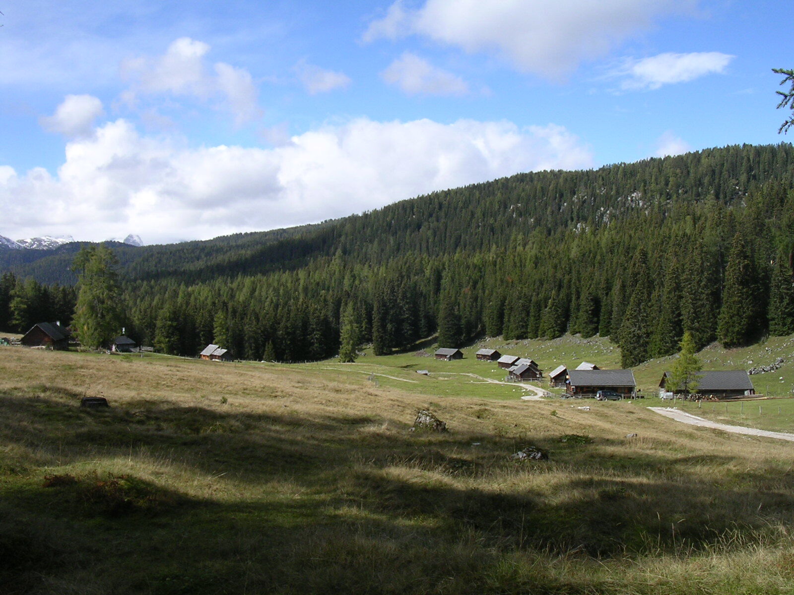
Hike through forest and alpine pastures from the Stoderzinken to the Viehbergalm

Senderismo

© Erlebnisregion Schladming-Dachstein - Schladming Dachstein
- Breve descripción
-
Long hike, rich in variety, from the Stoderzinken down through the Notgasse to the Viehbergalm, then through the Öfen to Gröbming Winkl.
- Dificultad
-
medio
- Valoración
-
- Ruta
-
Stoder0,1 kmBerggasthof Steinerhaus0,1 kmBrünner Hütte1,0 kmNotgasse4,5 kmRiesgasse5,1 kmBrandalm6,3 kmViehbergalm10,7 kmSimeterhütte10,7 kmRitzingerhütte11,0 kmEckangerl11,7 kmSeeboden14,1 kmOberwinkl17,9 kmWinkl18,5 km
- La mejor temporada
-
enefebmarabrmayjunjulagosepoctnovdic
- Punto álgido
- 1.824 m
- Punto final
-
Gröbming Winkl
- Perfil alto
-

- Autor
-
La gira Hike through forest and alpine pastures from the Stoderzinken to the Viehbergalm es utilizado por outdooractive.com proporcionado.
GPS Downloads


Información general
Punto de avituallamiento
Flora
Fauna
Más circuitos por las regiones
-
Schladming - Dachstein
3000
-
Haus - Aich
1364
-
Aich
276


