

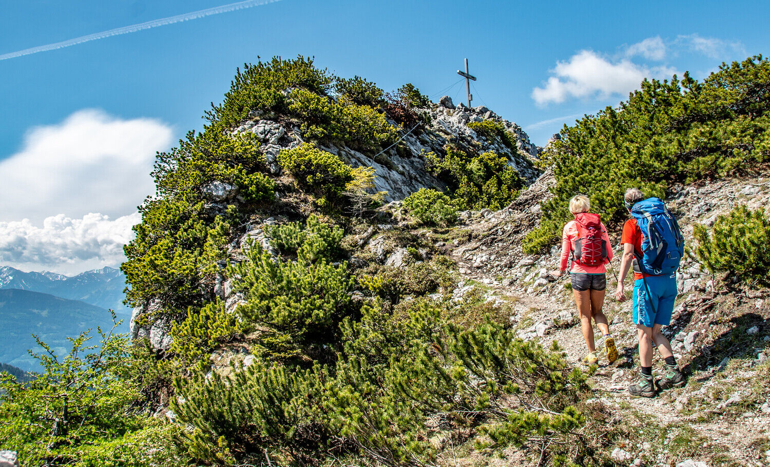
© TV Gesäuse - Christian Scheucher

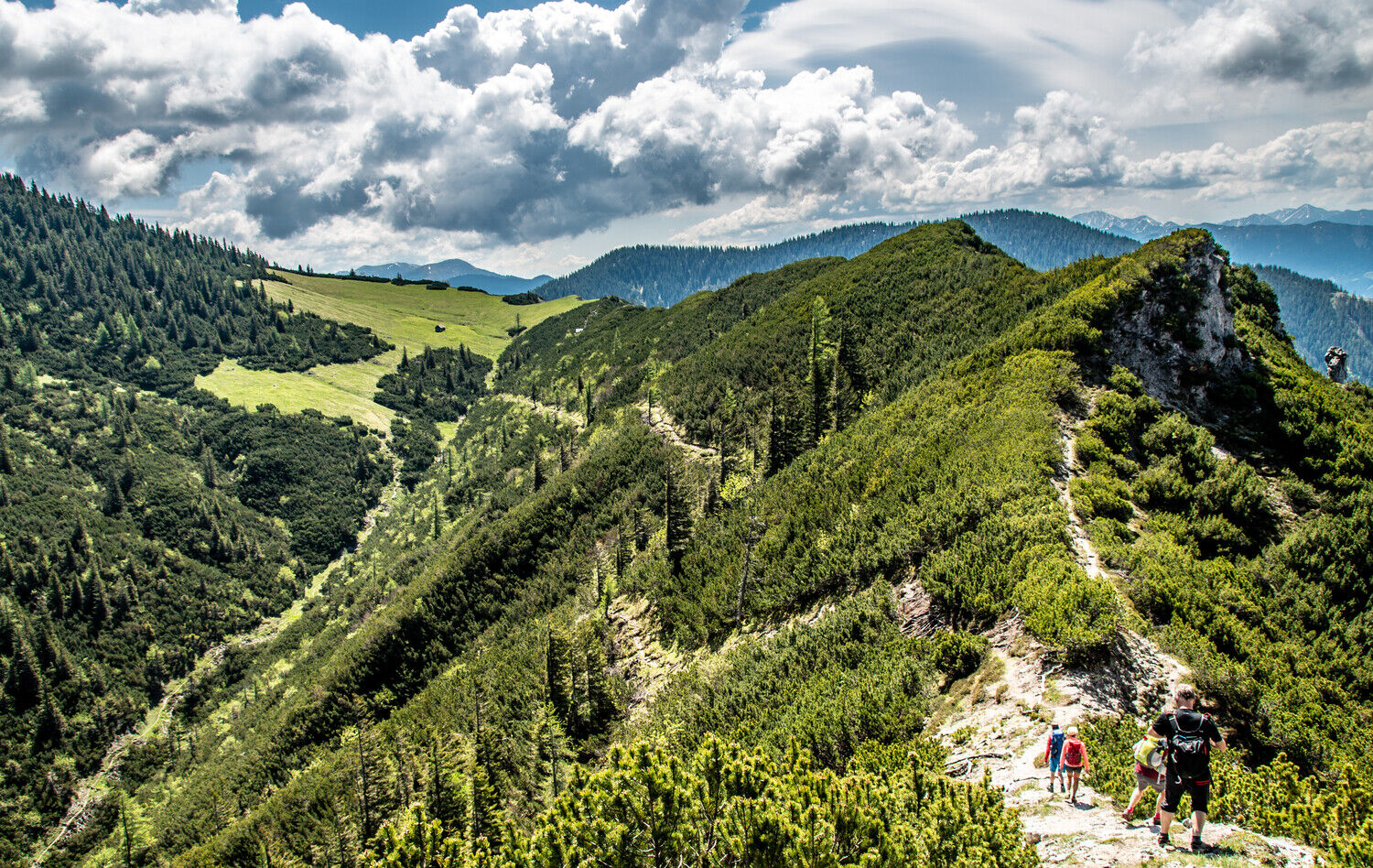
© TV Gesäuse - Christian Scheucher

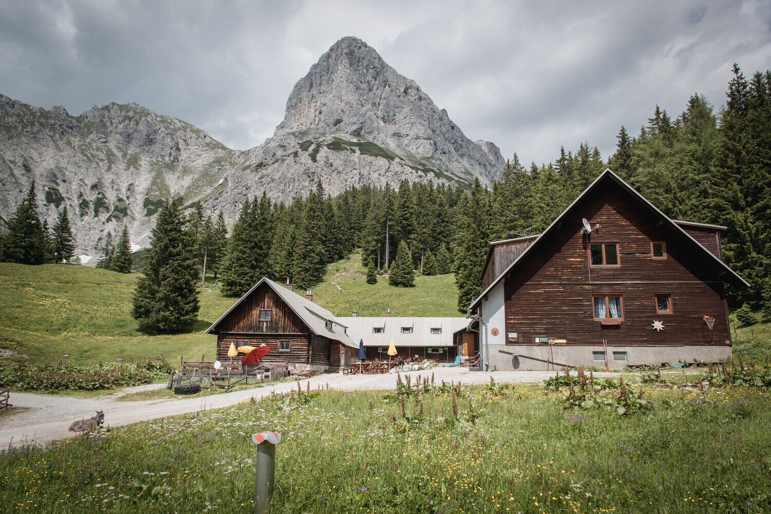
© TV Gesäuse - Stefan Leitner

© Tourismusverband Gesäuse


- Breve descripción
-
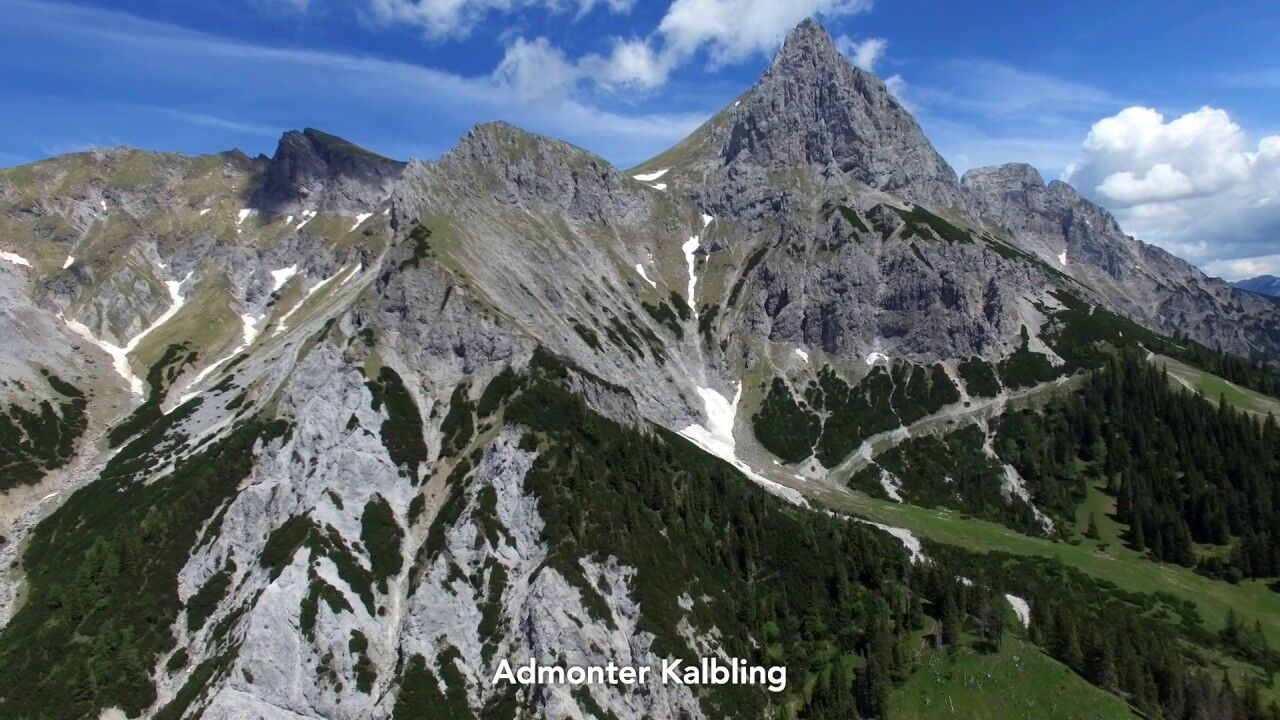
Hike from Admont over the Hahnstein to the Klinkehütte at the foot of the Admonter Kalbling.
- Dificultad
-
medio
- Valoración
-
- Ruta
-
Kematen0,1 kmKematengraben1,0 kmSteinerner Wirt3,0 kmHahnstein (1.697 m)4,9 kmOberst Klinke Hütte9,4 kmSieglalm11,8 kmKematen15,9 km
- La mejor temporada
-
enefebmarabrmayjunjulagosepoctnovdic
- Punto álgido
- 1.682 m
- Punto final
-
Admont
- Perfil alto
-

- Autor
-
La gira Admont -Hahnstein- Klinkehütte es utilizado por outdooractive.com proporcionado.
GPS Downloads


Información general
Punto de avituallamiento
Flora
Vistas panorámicas
Más circuitos por las regiones
-
Gesäuse
2224
-
Urlaubsregion Pyhrn - Priel
1440
-
Kaiserau
293


