

© Erlebnisregion Schladming-Dachstein - Schladming Dachstein

© Erlebnisregion Schladming-Dachstein - Schladming Dachstein

© Herfried Marek - Schladming Dachstein

© Herfried Marek - Schladming Dachstein

© Herfried Marek - Schladming Dachstein

© Herfried Marek - Schladming Dachstein
- Breve descripción
-
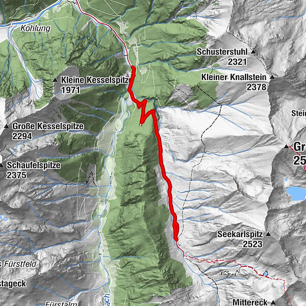
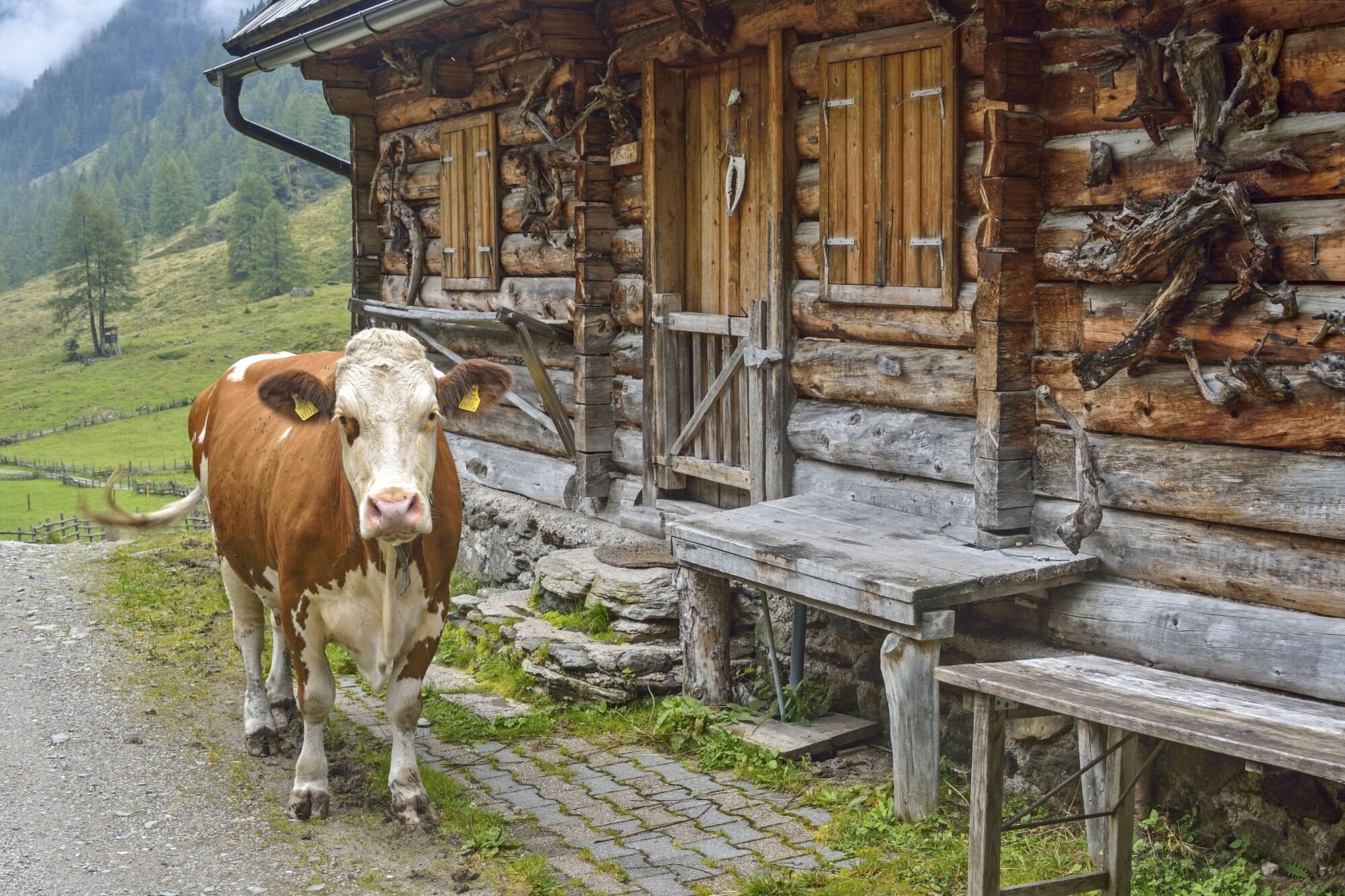
Short hike to the beautiful hut village in Tuchmoar.
- Dificultad
-
fácil
- Valoración
-
- La mejor temporada
-
enefebmarabrmayjunjulagosepoctnovdic
- Punto álgido
- 1.506 m
- Punto final
-
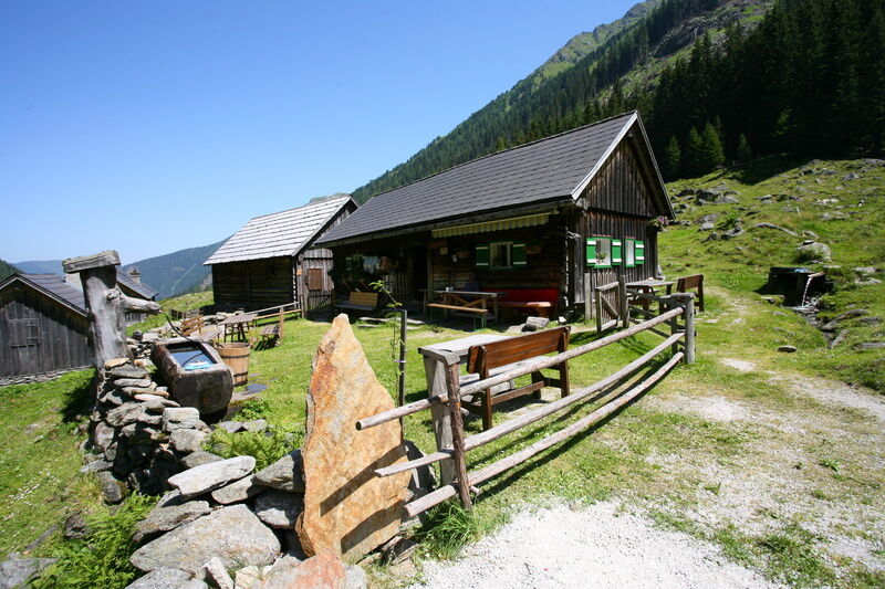
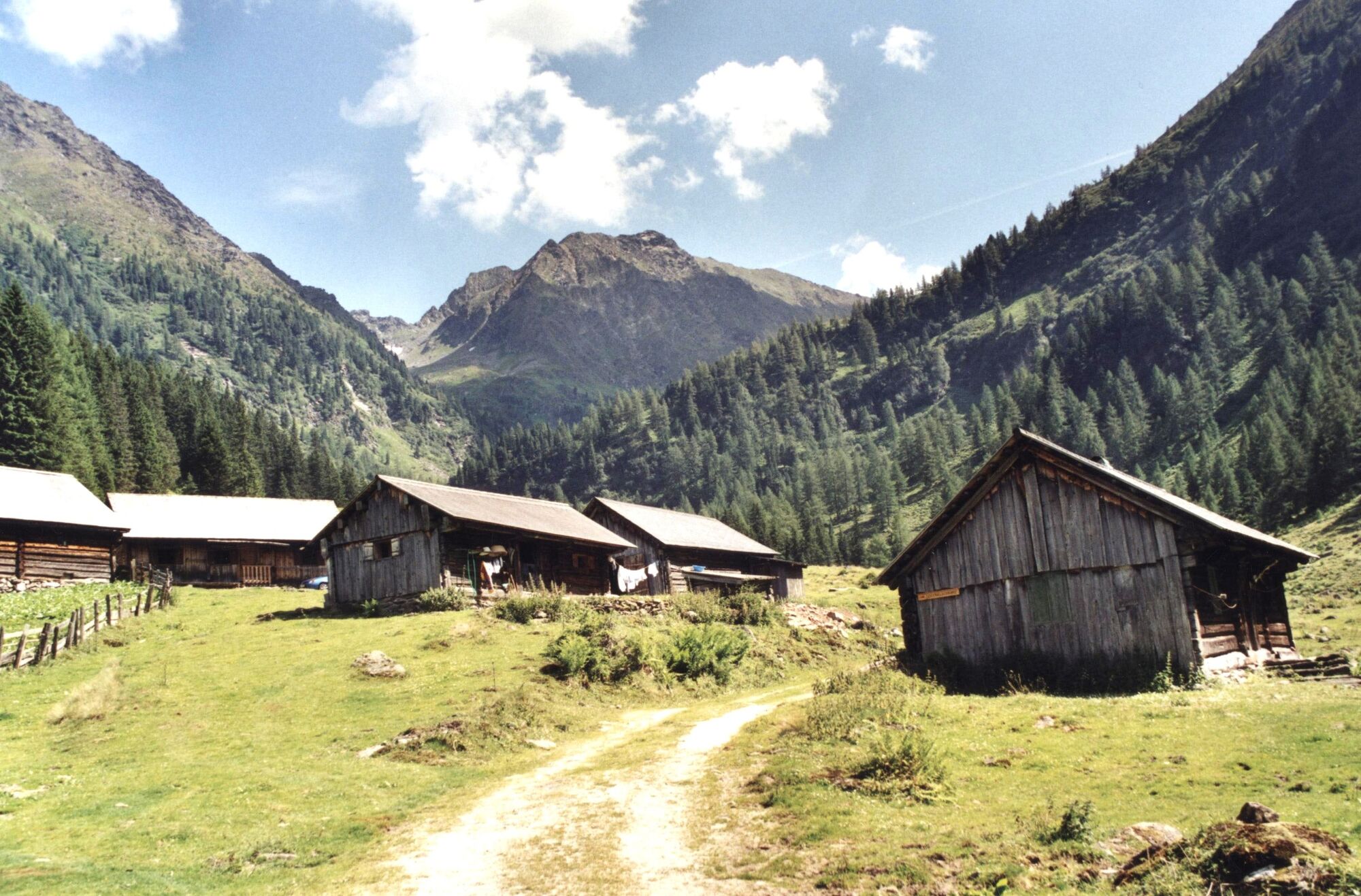
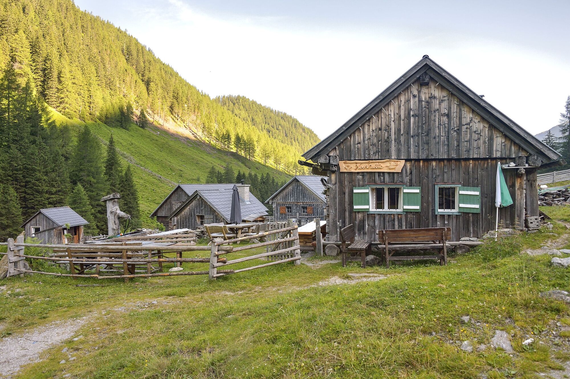
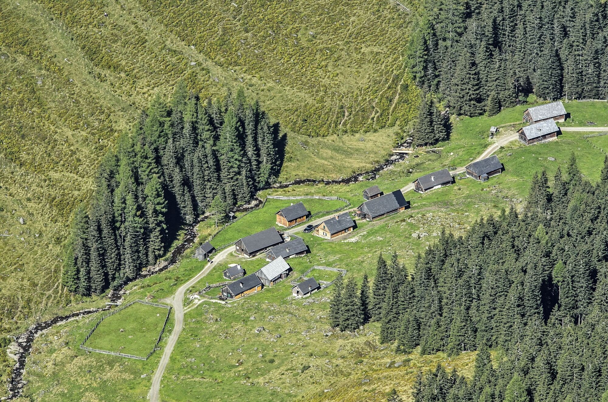
The Hut Village Tuchmoar Alm
- Perfil alto
-

- Autor
-
La gira To a Hut Village in the Tuchmoar Alm es utilizado por outdooractive.com proporcionado.
GPS Downloads


Información general
Punto de avituallamiento
Secreto
Flora
Fauna
Más circuitos por las regiones
-
Schladming - Dachstein
3001
-
Naturpark Sölktäler
927
-
Kleinsölktal
235


