Ridge Hike - high above the Planneralm - 1.588m

Senderismo

© Erlebnisregion Schladming-Dachstein - Schladming Dachstein


© Erlebnisregion Schladming-Dachstein - Zettler Johannes / Zettler IT

© Erlebnisregion Schladming-Dachstein - Zettler Johannes / Zettler IT

© Erlebnisregion Schladming-Dachstein - Zettler Johannes / Zettler IT

© Erlebnisregion Schladming-Dachstein - Zettler Johannes / Zettler IT

© Erlebnisregion Schladming-Dachstein - Zettler Johannes / Zettler IT

© Erlebnisregion Schladming-Dachstein - Zettler Johannes / Zettler IT

© Erlebnisregion Schladming-Dachstein - Zettler Johannes / Zettler IT
- Breve descripción
-
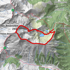
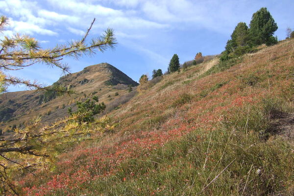
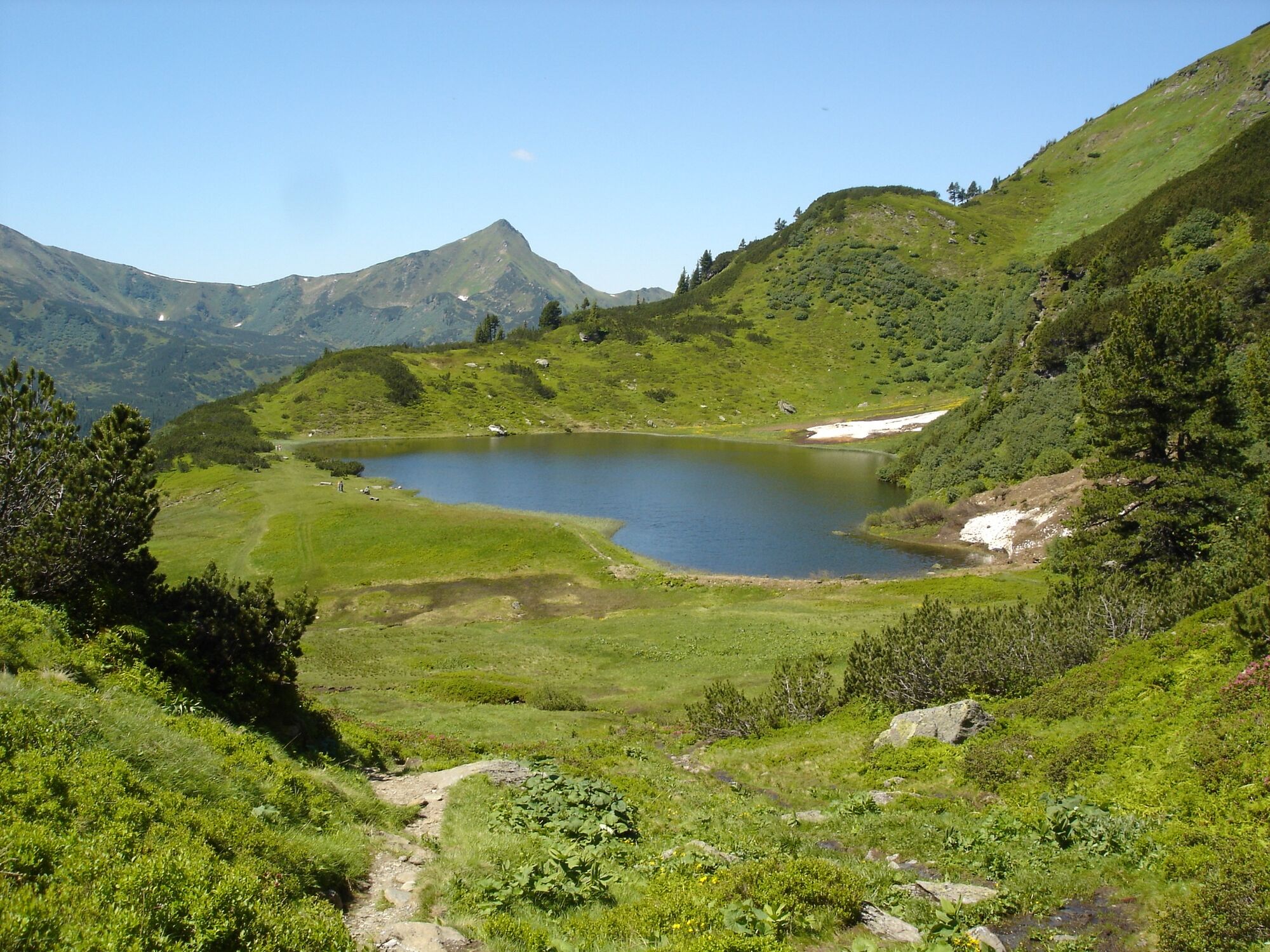
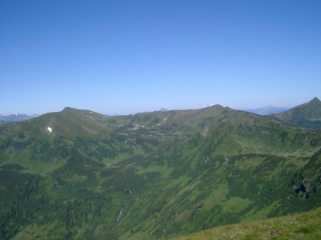
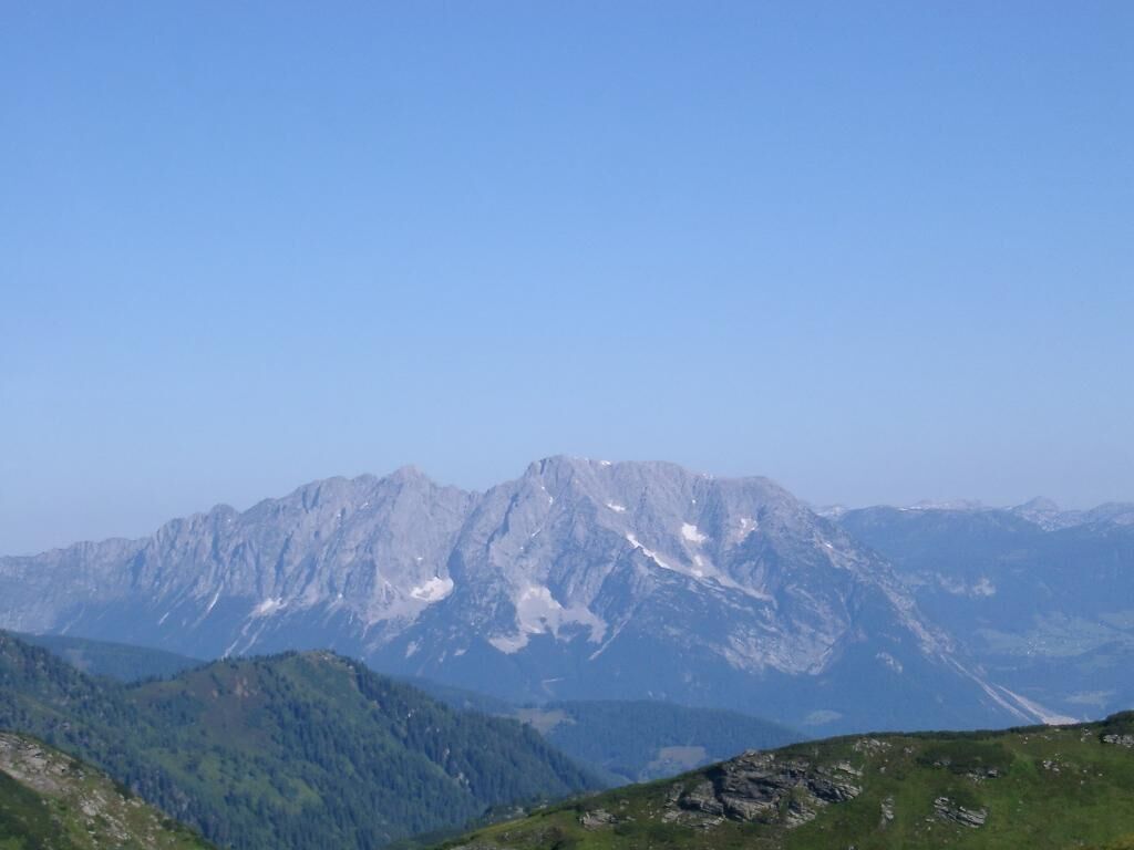
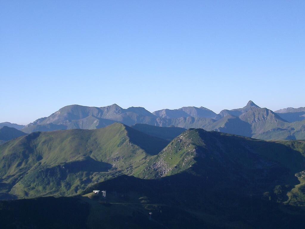
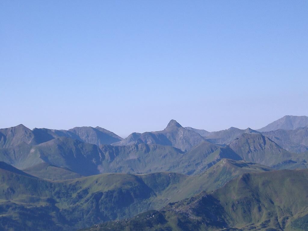
An alpine hike, or more accurately: a narrow, alpine trail, mostly along the ridge, over several peaks on the north-west side of the Plannerkessel.
- Dificultad
-
medio
- Valoración
-
- Ruta
-
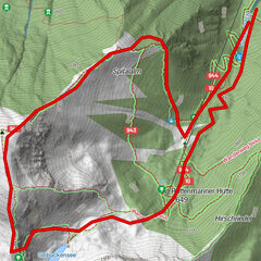
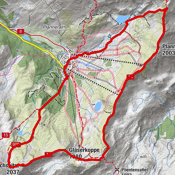
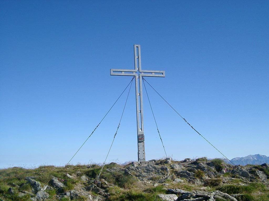
Bergrettungshütte0,0 kmPlannereck (2.003 m)2,4 kmKleiner Rotbühel (1.912 m)3,6 kmGroßer Rotbühel (2.019 m)4,4 kmGläserkoppe (1.980 m)5,0 kmJochspitze (2.037 m)5,8 kmGoldbachscharte (1.960 m)6,0 kmBergrettungshütte8,1 km
- La mejor temporada
-
enefebmarabrmayjunjulagosepoctnovdic
- Punto álgido
- 2.001 m
- Punto final
-
parking area Planneralm
- Perfil alto
-


- Autor
-
La gira Ridge Hike - high above the Planneralm - 1.588m es utilizado por outdooractive.com proporcionado.
GPS Downloads


Información general
Punto de avituallamiento
Flora
Fauna
Vistas panorámicas
Más circuitos por las regiones