

© Tourismusverband Region Murau - Tom Lamm

© Tourismusverband Region Murau - F. Valencak

- Breve descripción
-
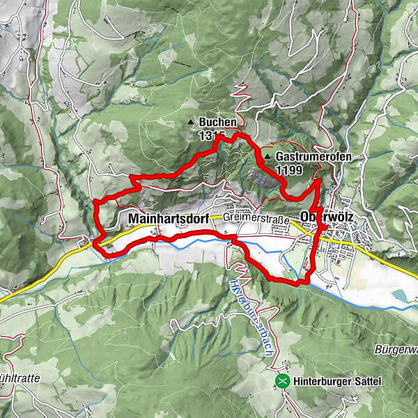
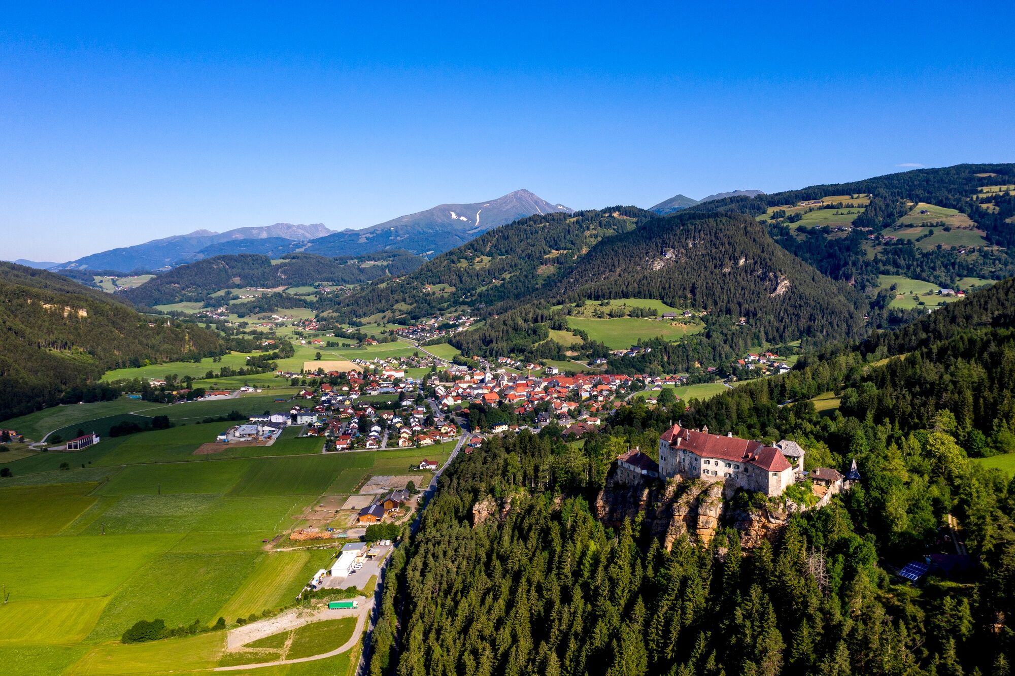
Large circular tour on the southern slope of the Wölzer valley, where you always have the Wölzer valley, the Wölzer Tauern and the Seetaler Alps in view.
- Dificultad
-
medio
- Valoración
-
- Ruta
-
OberwölzStadtPfarrkirche hl. Martin0,0 kmFilialkirche hl. Sigismund0,0 kmJohannes-Nepomuk-Kapelle0,1 kmVorstadt0,1 kmGastrumerofen (1.199 m)2,3 kmWinklern bei Oberwölz6,1 kmWallfahrtskirche Maria Altötting6,1 kmMainhartsdorf7,1 kmWieden8,2 kmVorstadt10,0 kmJohannes-Nepomuk-Kapelle10,2 kmOberwölz10,2 kmFilialkirche hl. Sigismund10,2 kmPfarrkirche hl. Martin10,2 kmStadt10,3 km
- La mejor temporada
-
enefebmarabrmayjunjulagosepoctnovdic
- Punto álgido
- 1.166 m
- Punto final
-
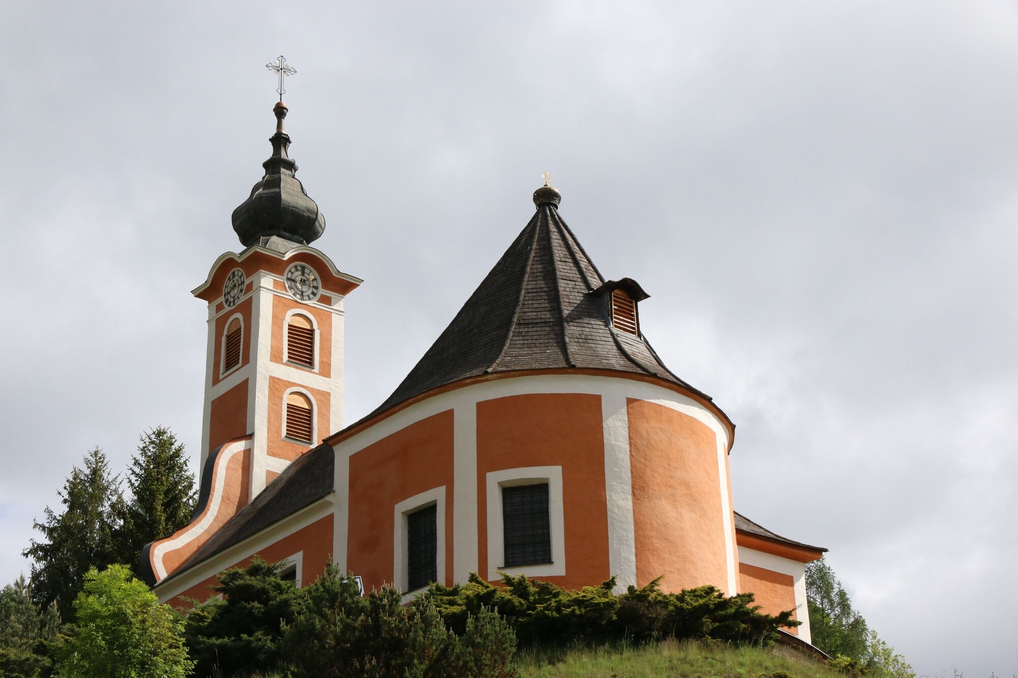
Information board at the parish church
- Perfil alto
-

- Autor
-
La gira Great Sonnleiten circuit (path 4) es utilizado por outdooractive.com proporcionado.
GPS Downloads


Información general
Vistas panorámicas
Más circuitos por las regiones


