© Tourismusverband Region Murau - Tom Lamm

© Tourismusverband Region Murau - Tom Lamm

- Breve descripción
-
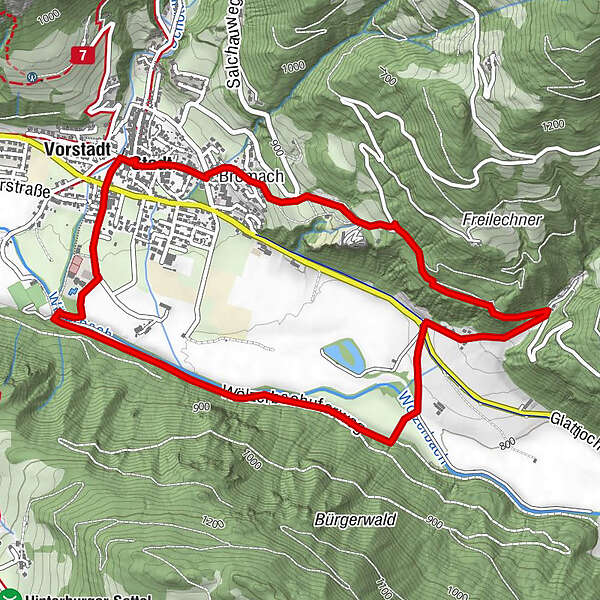
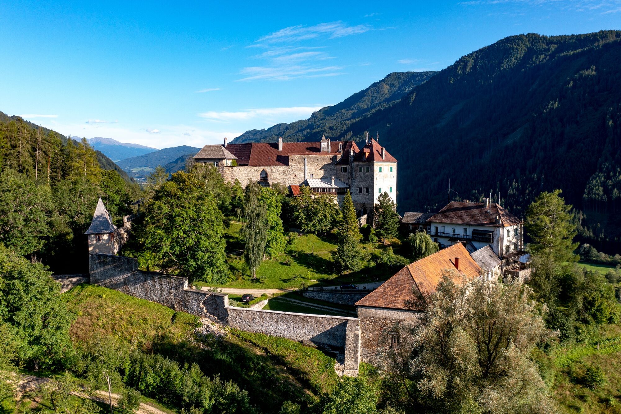
Child-friendly hike partly along the banks of the stream, partly in the forest, past the medieval castle and back to the town of Oberwölz.
- Dificultad
-
medio
- Valoración
-
- Ruta
-
OberwölzStadt0,0 kmPfarrkirche hl. Martin0,0 kmFilialkirche hl. Sigismund0,0 kmJohannes-Nepomuk-Kapelle0,1 kmVorstadt0,1 kmBromach5,2 kmStadt5,7 kmPfarrkirche hl. Martin5,8 kmOberwölz5,8 kmFilialkirche hl. Sigismund5,8 km
- La mejor temporada
-
enefebmarabrmayjunjulagosepoctnovdic
- Punto álgido
- 934 m
- Punto final
-
Information board at the parish church
- Perfil alto
-


- Autor
-
La gira Kohlibauweg (path 13) es utilizado por outdooractive.com proporcionado.
GPS Downloads


Información general
Punto de avituallamiento
Vistas panorámicas
Más circuitos por las regiones