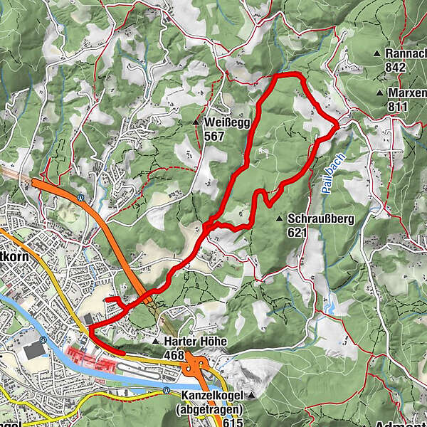
Up the Rannach and down into the Dultgraben

Senderismo

© Region Graz - Meike Brucher
© Region Graz - Meike Brucher
© Region Graz - Meike Brucher

© Region Graz - Meike Brucher
© Region Graz - Meike Brucher

© Region Graz - Meike Brucher
- Breve descripción
-
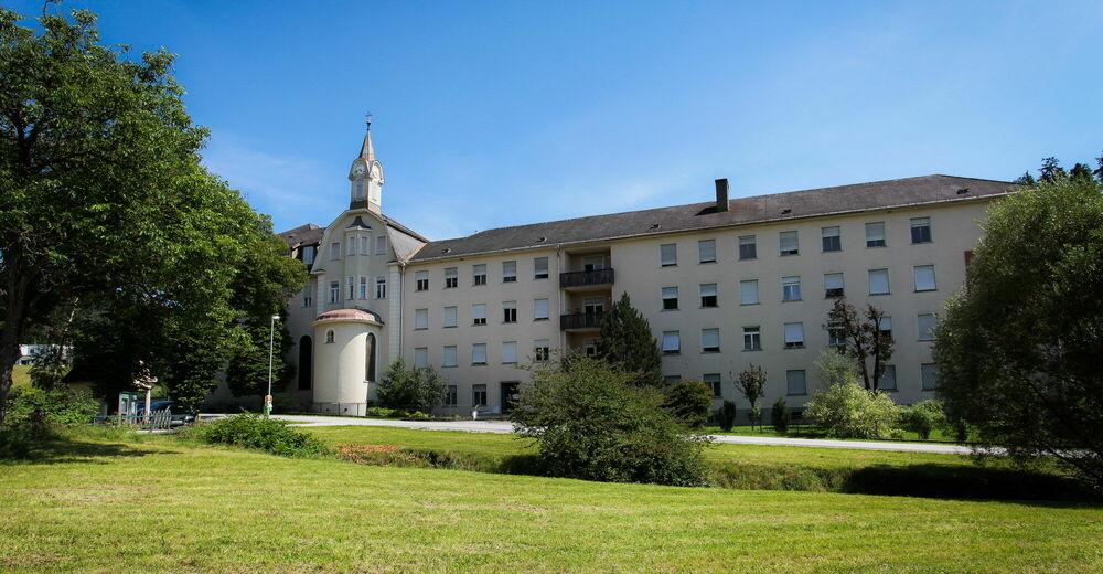
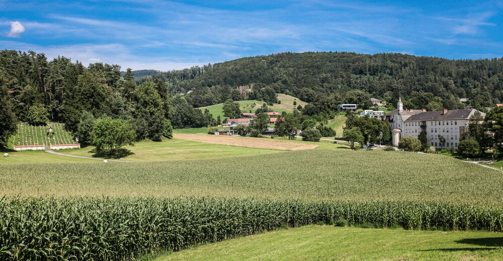
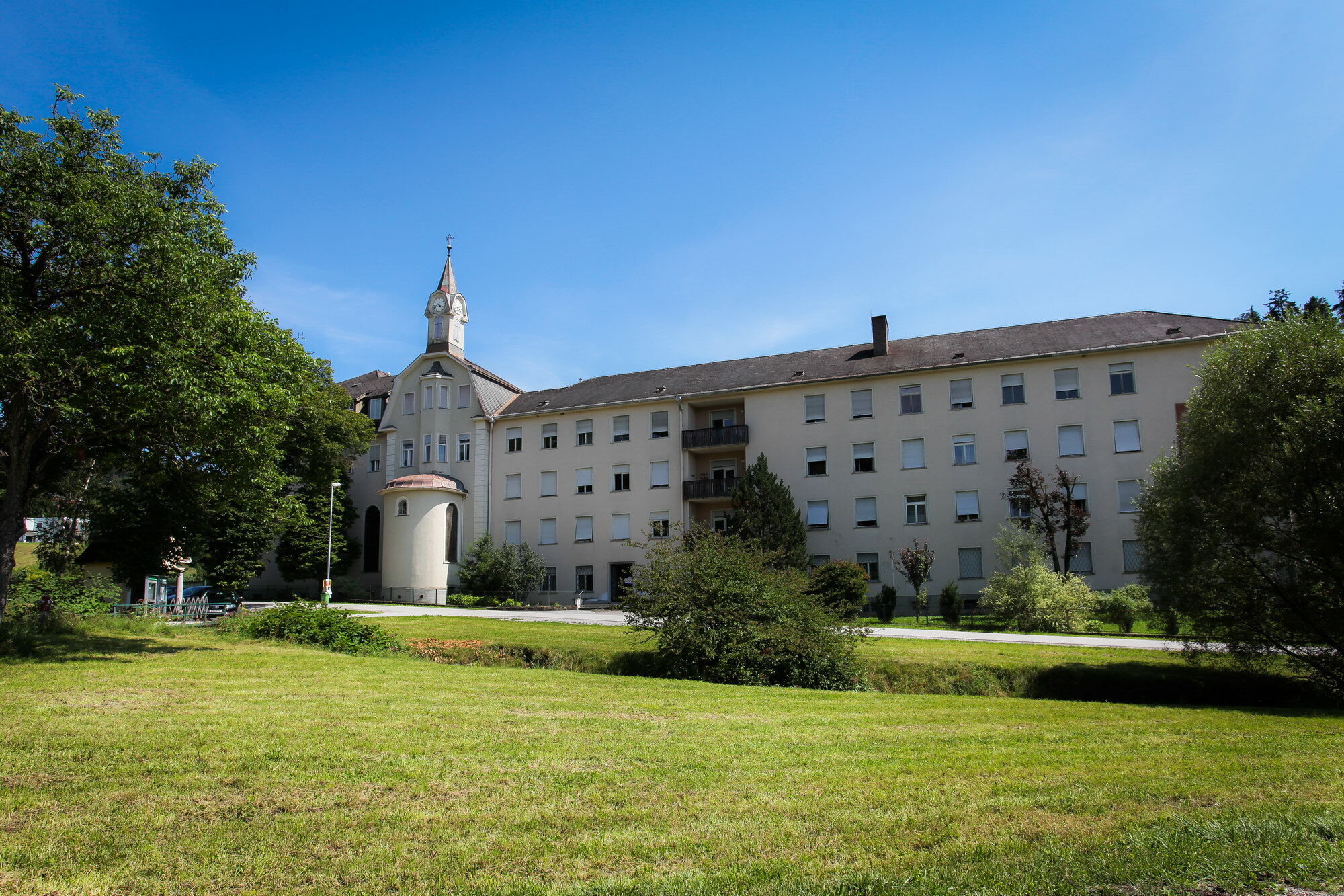
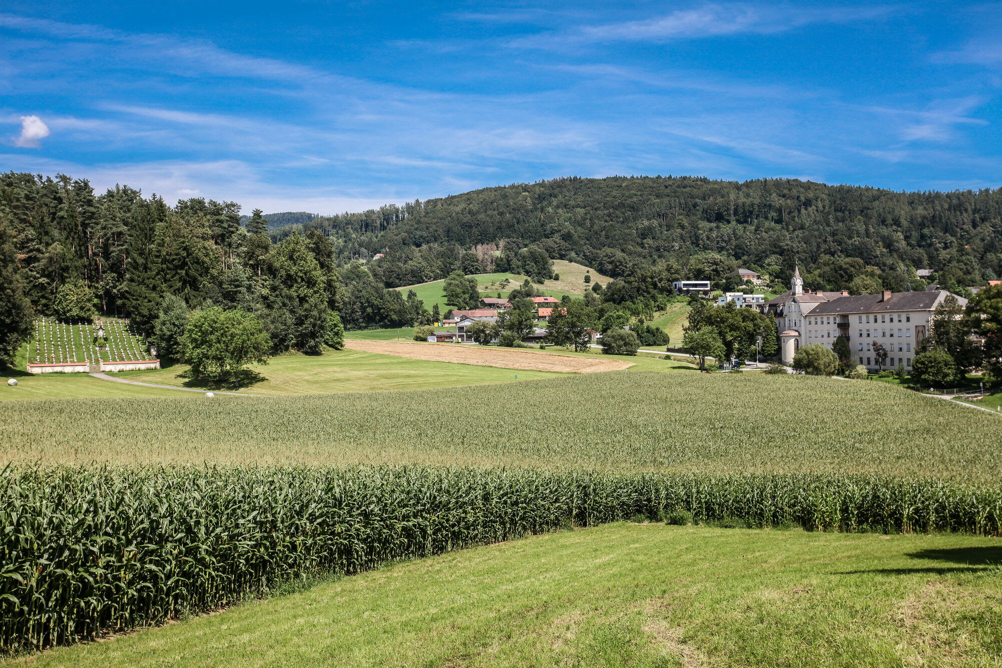
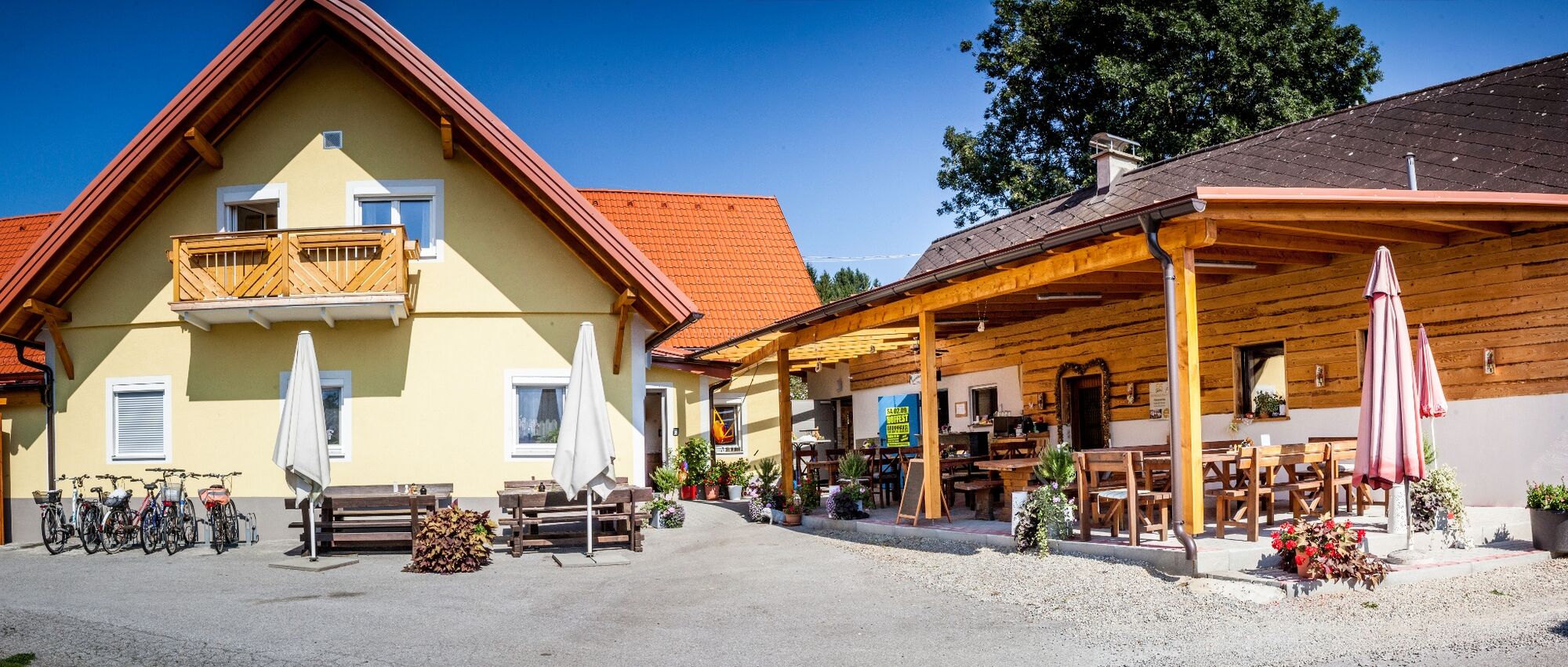
The great wide world at your doorstep: an alpine garden, a mountain cemetery, a lovely tavern and lots more.
- Dificultad
-
fácil
- Valoración
-
- Ruta
-
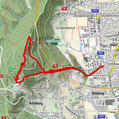
Lourdes-Kapelle1,9 kmKloster in der Dult2,0 kmAlpengarten Rannach6,1 kmKloster in der Dult8,9 kmLourdes-Kapelle8,9 km
- La mejor temporada
-
enefebmarabrmayjunjulagosepoctnovdic
- Punto álgido
- 654 m
- Punto final
-
Park & Ride parking area in Gratkorn behind the BP petrol station
- Perfil alto
-


- Autor
-
La gira Up the Rannach and down into the Dultgraben es utilizado por outdooractive.com proporcionado.
GPS Downloads


Más circuitos por las regiones
-
Erlebnisregion Graz
2780
-
Graz und Region Graz
1524
-
Gratkorn
762