© Tourismusverband Region Murau - Jasmin Schmidt

- Breve descripción
-
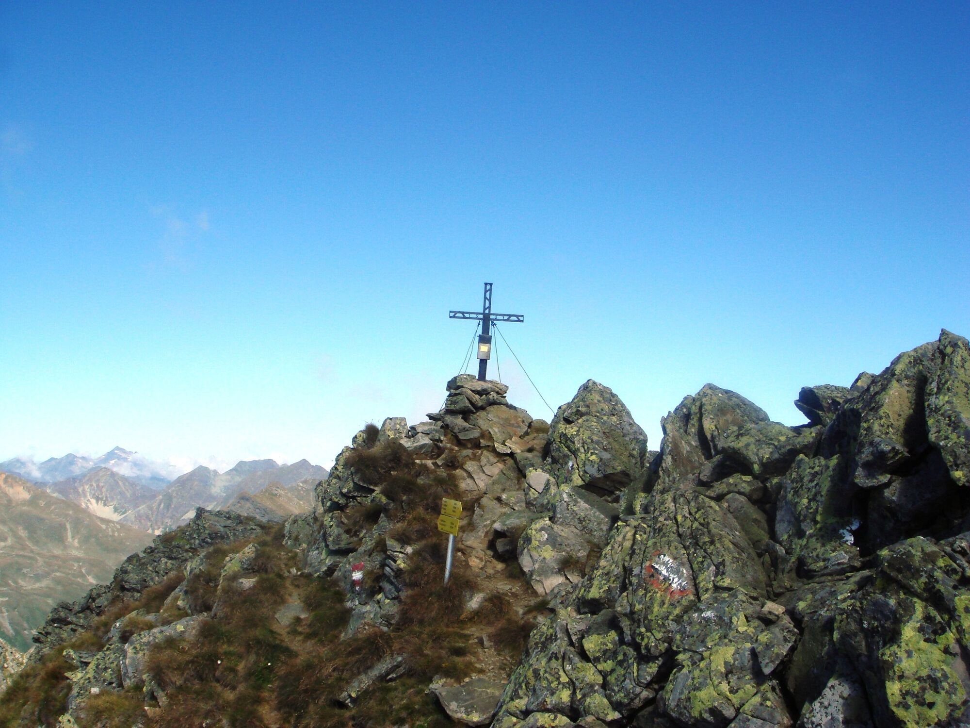
This is an advanced hike, which is nevertheless rewarded with fantastic mountain panorama.
- Dificultad
-
difícil
- Valoración
-
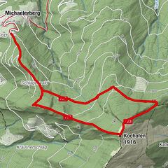
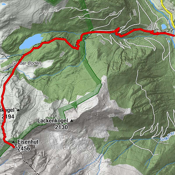
- Ruta
-
Eisenhut (2.456 m)4,7 km
- La mejor temporada
-
enefebmarabrmayjunjulagosepoctnovdic
- Punto álgido
- 2.408 m
- Punto final
-
Eisenhut
- Perfil alto
-

- Autor
-
La gira Eisenhut es utilizado por outdooractive.com proporcionado.
GPS Downloads


Información general
Punto de avituallamiento
Secreto
Vistas panorámicas
Más circuitos por las regiones