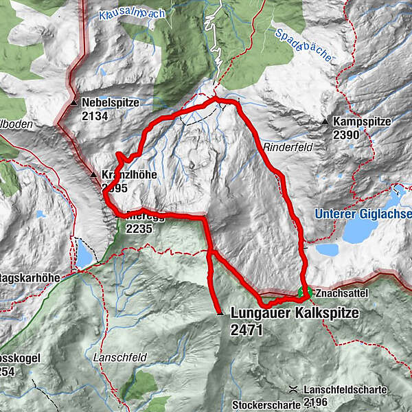
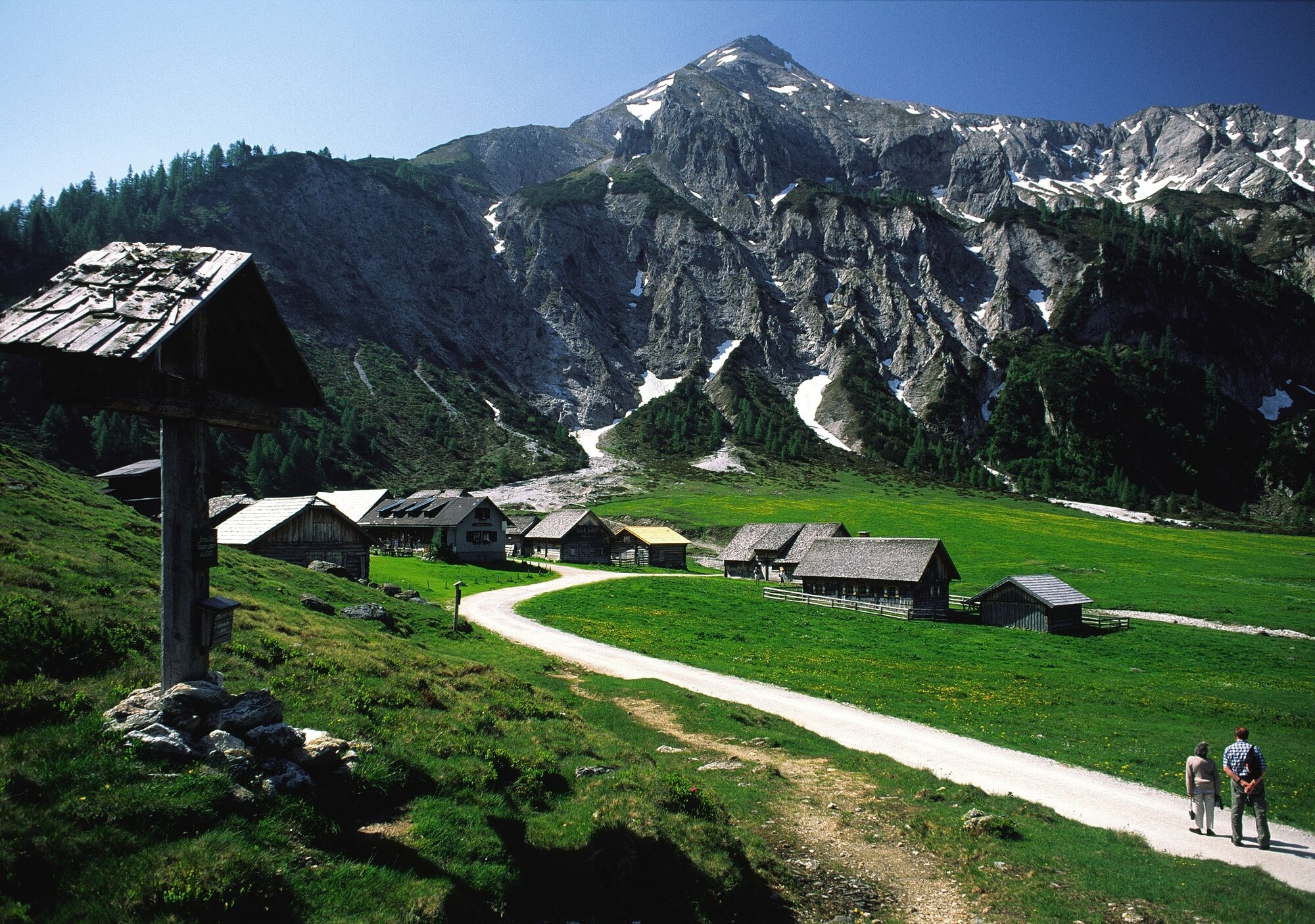
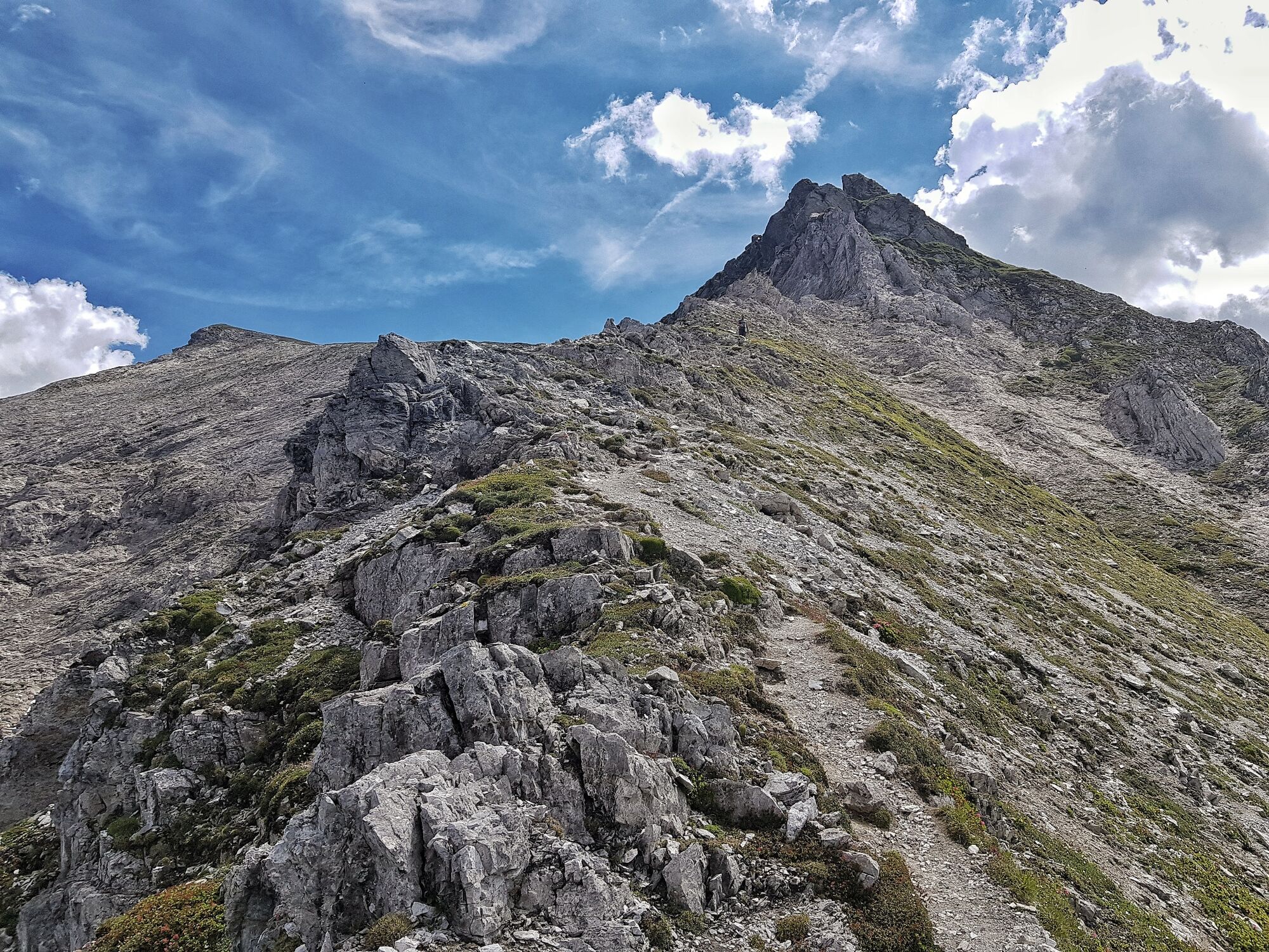
Steirische and Lungauer Kalkspitze summits via Kranzl

Senderismo

© Gerhard Pilz

© Tourismusverband Schladming - Herbert Raffalt - Herbert Raffalt
© Erlebnisregion Schladming-Dachstein - Tourismusverband Schladming
© Tourismusverband Schladming - Katrin Hutegger - Katrin Hutegger

© Gerhard Pilz

© Gerhard Pilz

© Gerhard Pilz

© Gerhard Pilz
© Tourismusverband Schladming - Katrin Hutegger - Katrin Hutegger

© Gerhard Pilz
- Breve descripción
-
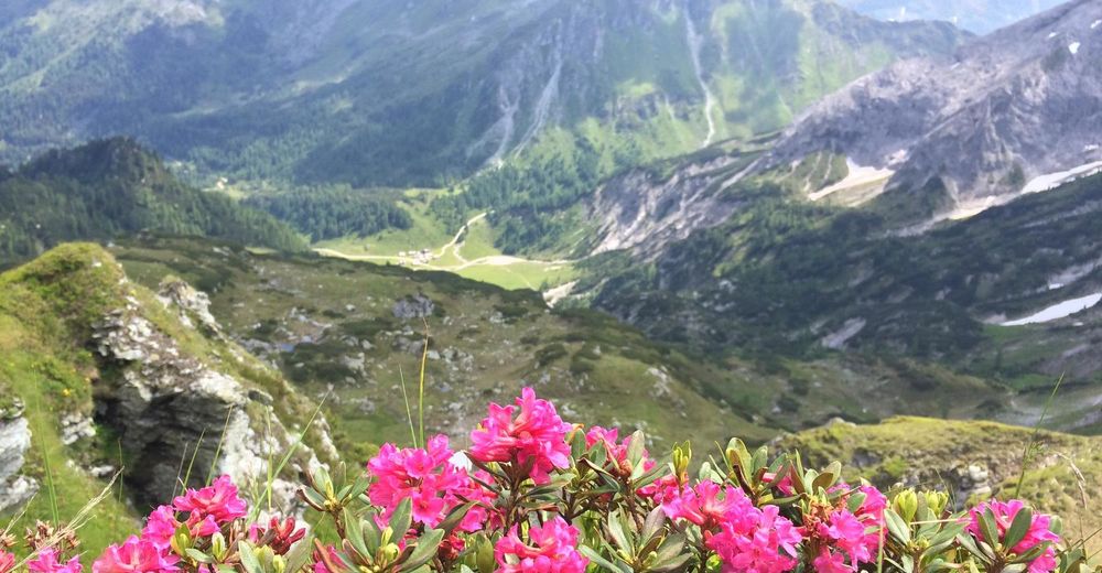
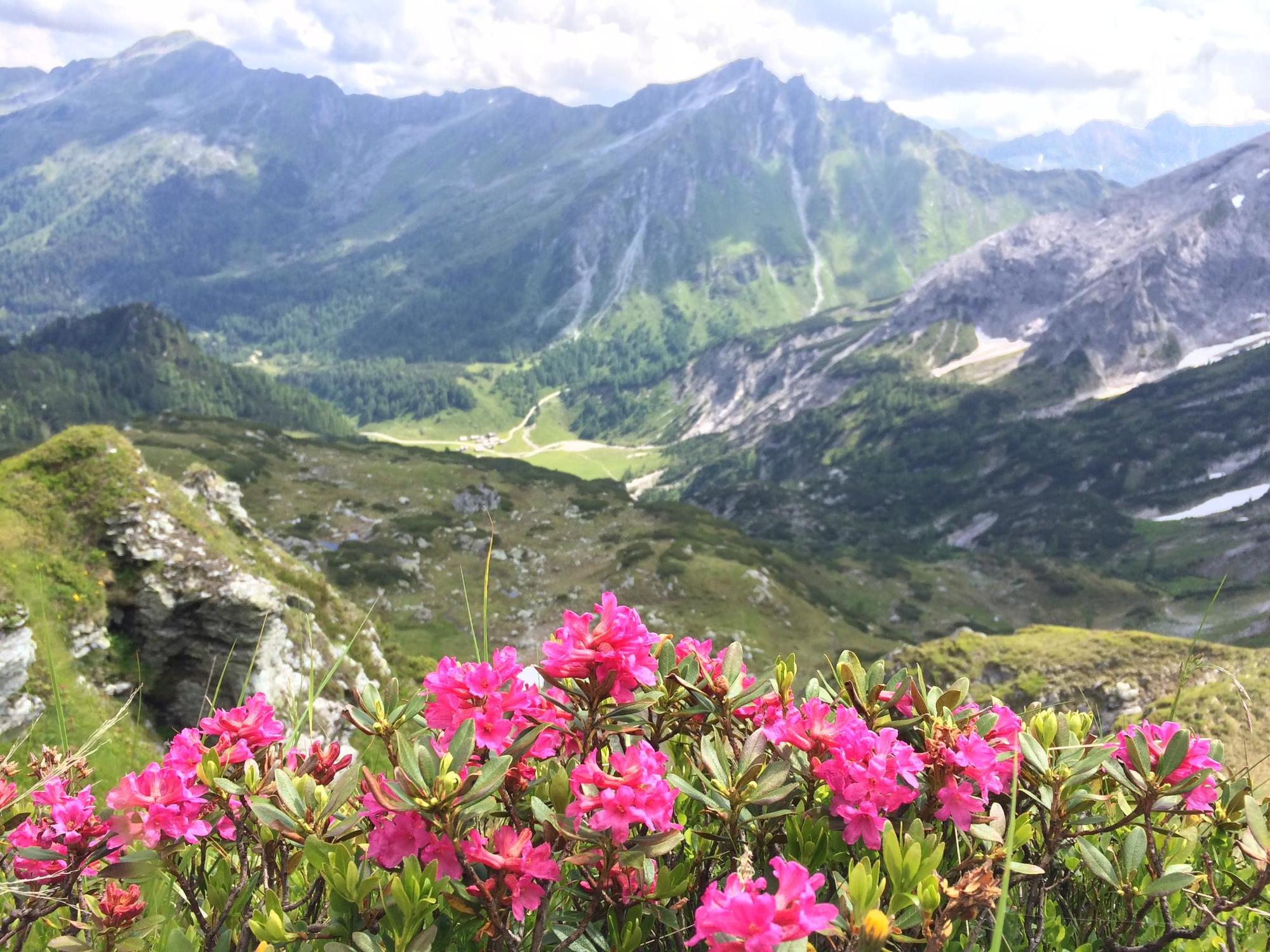
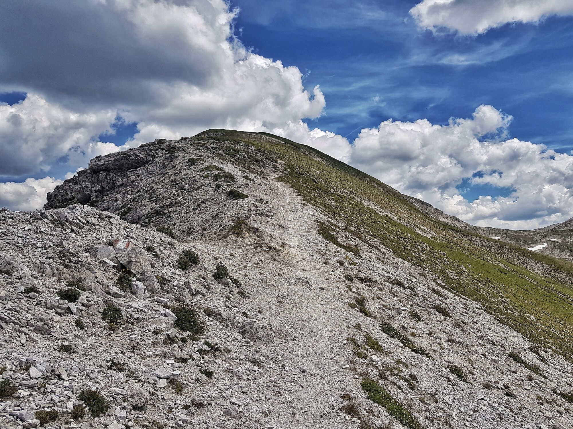
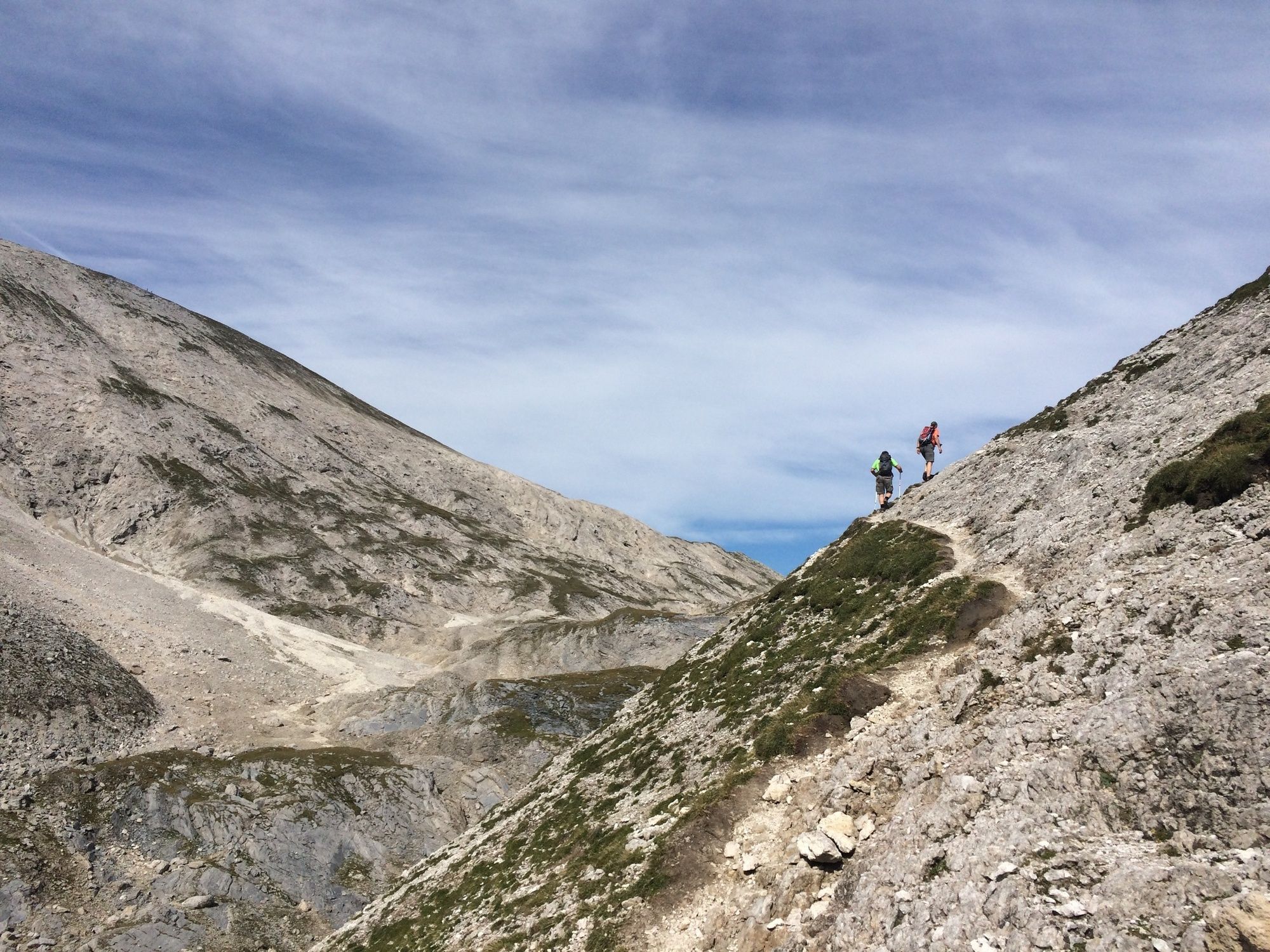
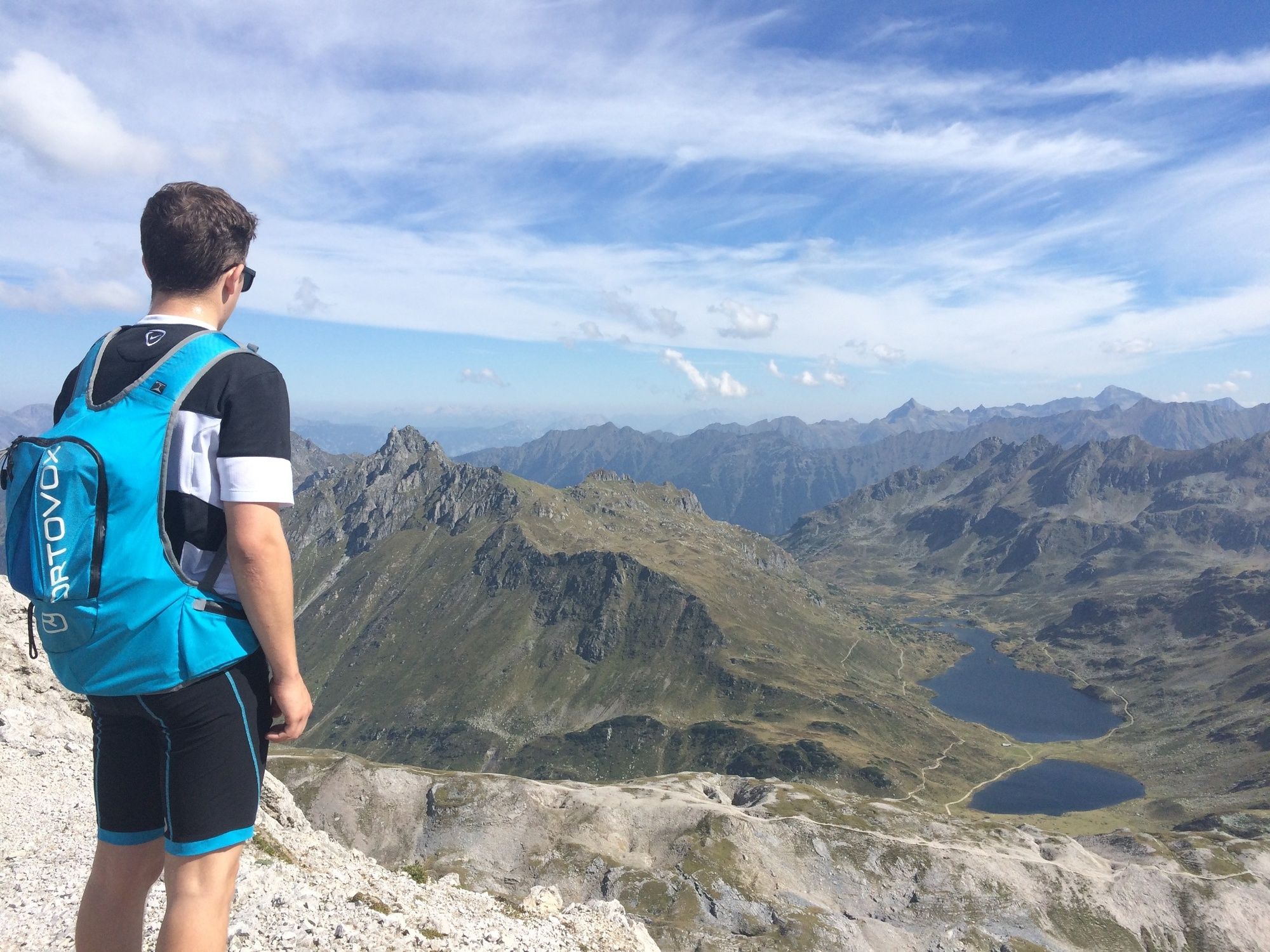
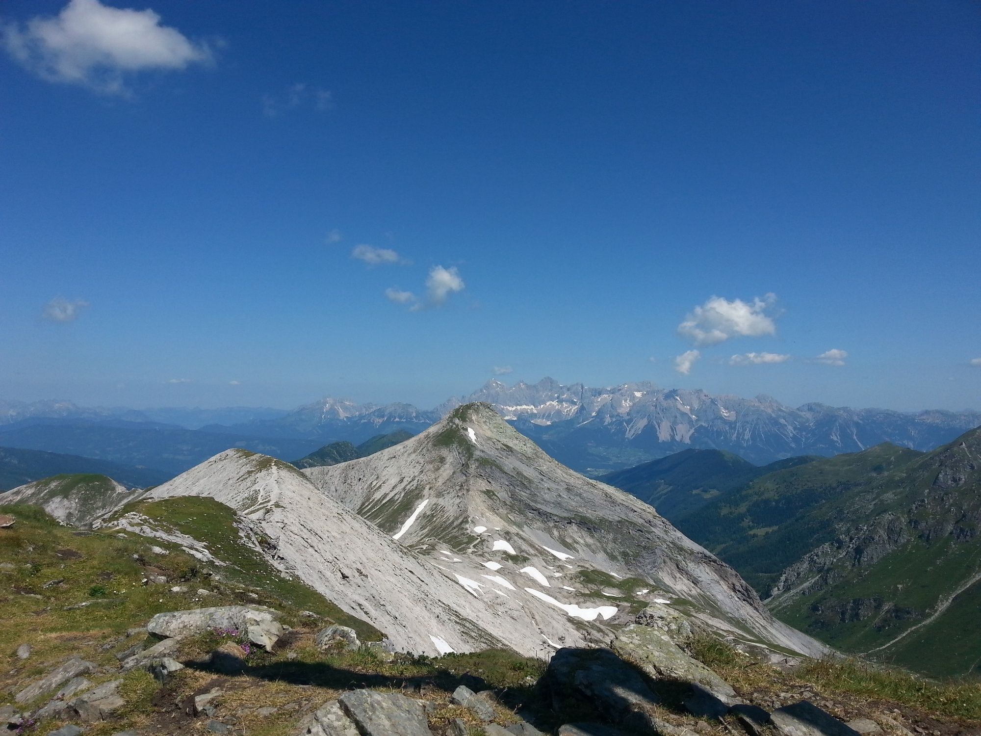
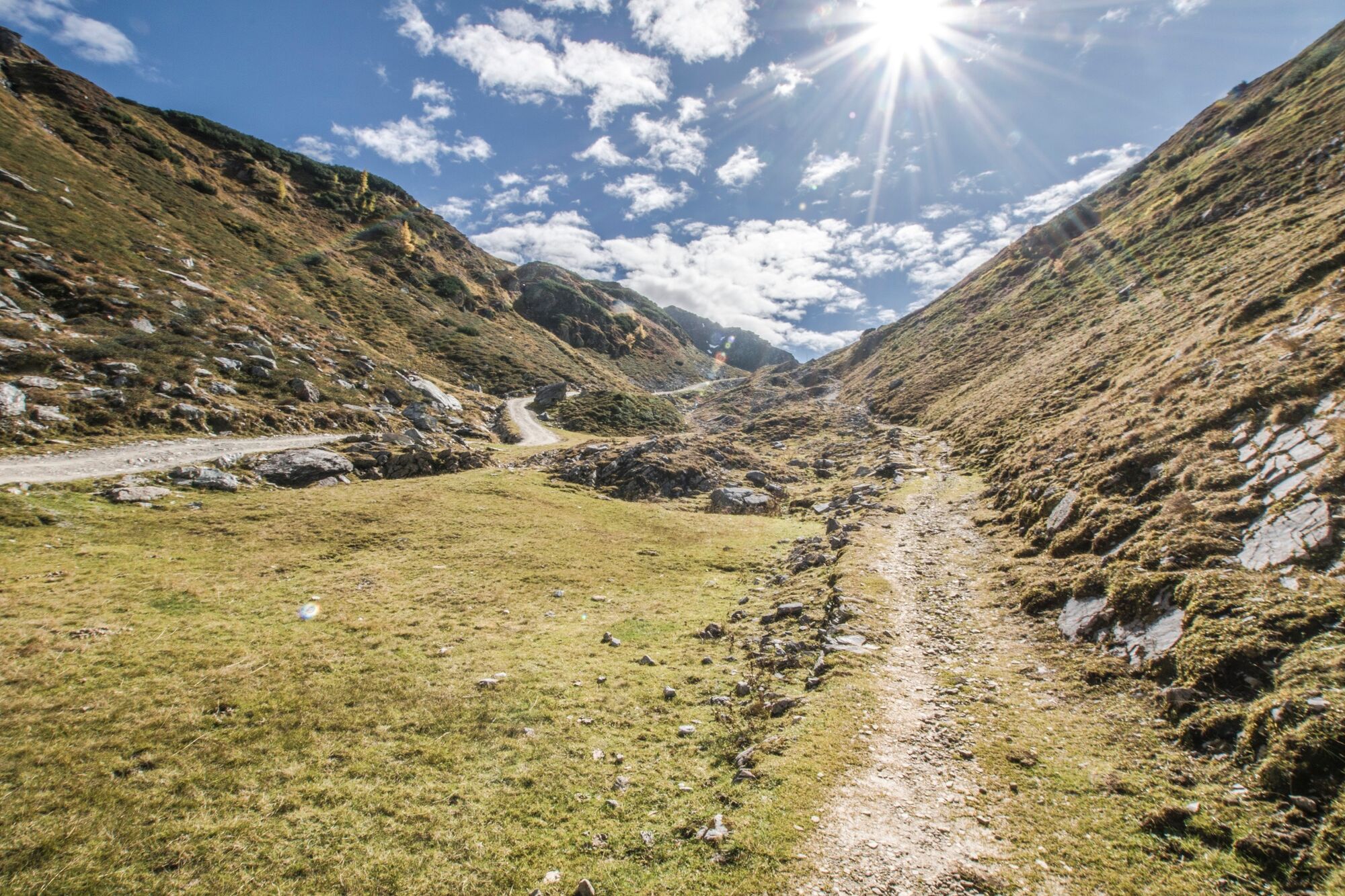
Steirische und Lungauer Kalkspitze sind ein Kalkstock inmitten des Urgesteins der Schladminger Tauern.
- Dificultad
-
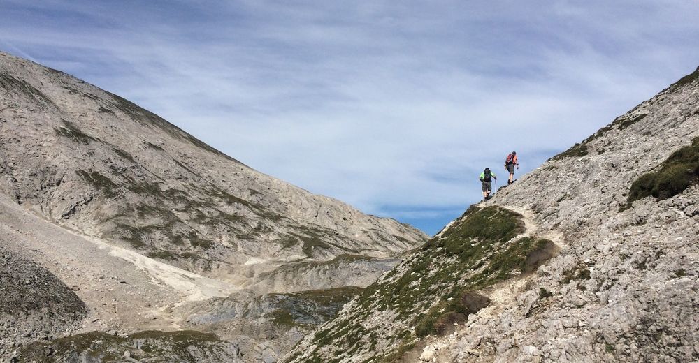
difícil
- Valoración
-
- Ruta
-
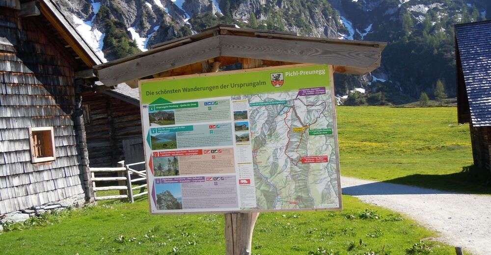
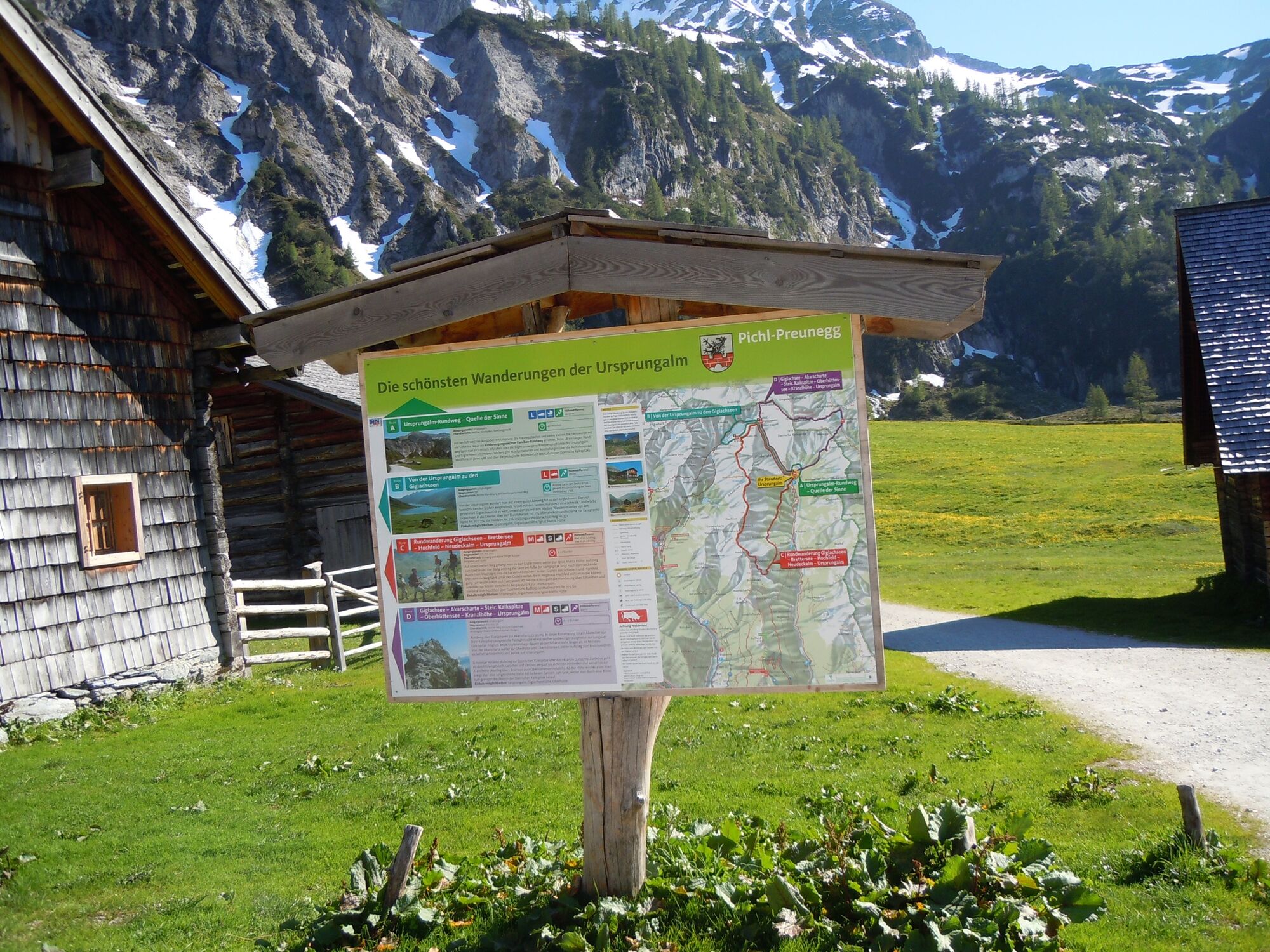
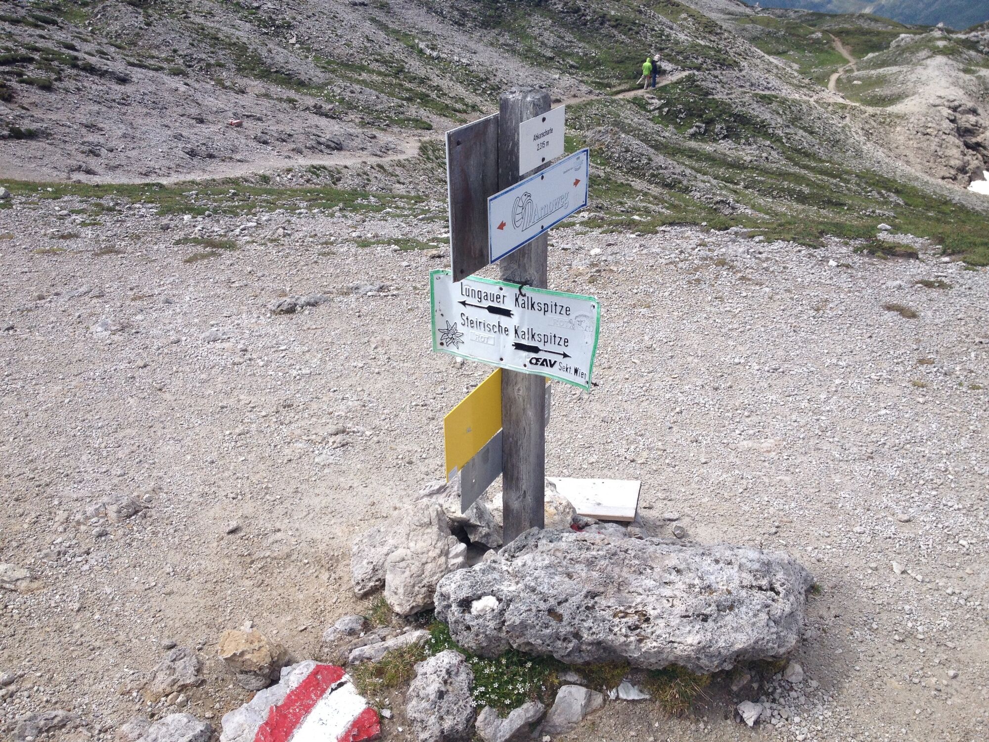
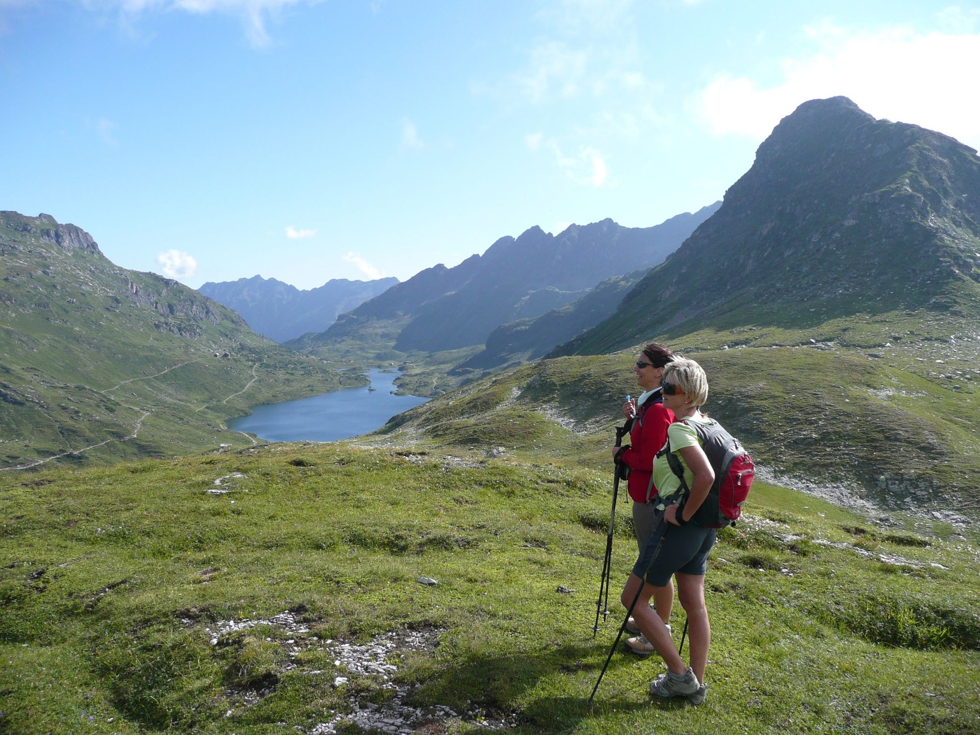
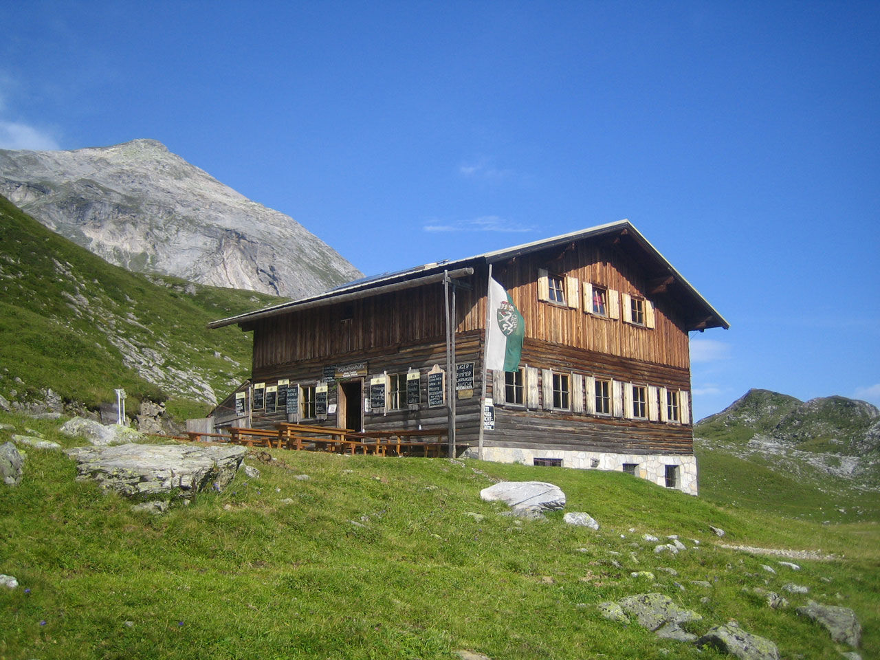
UrsprungalmMeregg (2.235 m)2,7 kmGiglachsee Hütte (1.955 m)8,5 kmUrsprungalm10,9 km
- La mejor temporada
-
enefebmarabrmayjunjulagosepoctnovdic
- Punto álgido
- 2.433 m
- Punto final
-
Hiking trail head Ursprungalm
- Perfil alto
-


-

-
AutorLa gira Steirische and Lungauer Kalkspitze summits via Kranzl es utilizado por outdooractive.com proporcionado.
GPS Downloads


Información general
Punto de avituallamiento
Vistas panorámicas
Más circuitos por las regiones
-
Schladming - Dachstein
3011
-
Obertauern
1644
-
Tweng
308


