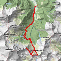
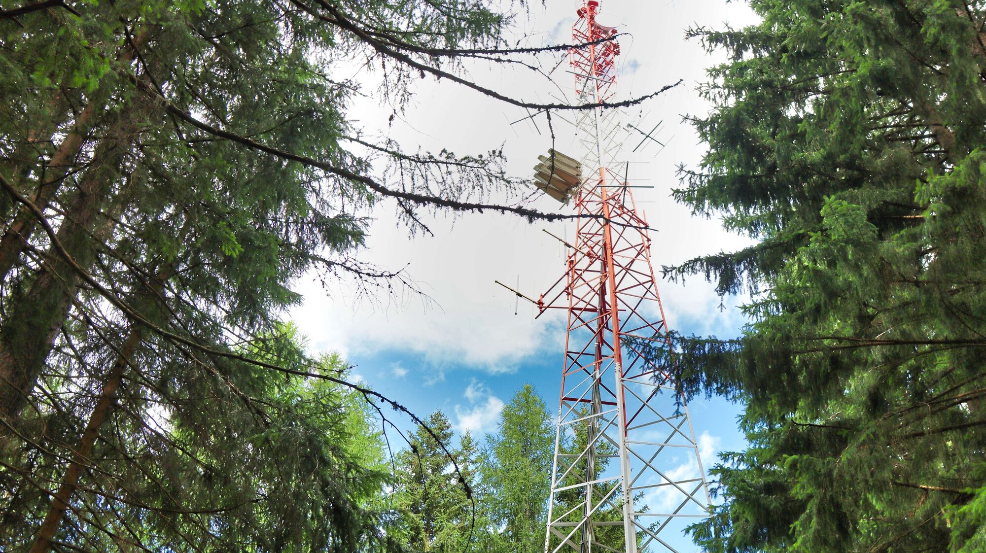
Oberzeiring - circular hike to the transmitter

Senderismo

© Weges OG

© Weges OG

© Weges OG

© Weges OG

© Weges OG

© Weges OG

© Weges OG

© Weges OG

© Weges OG

© Weges OG


- Breve descripción
-
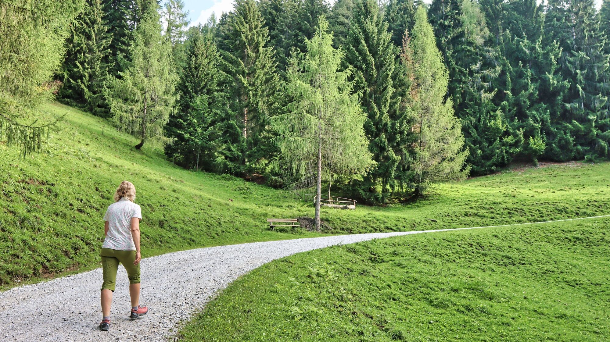
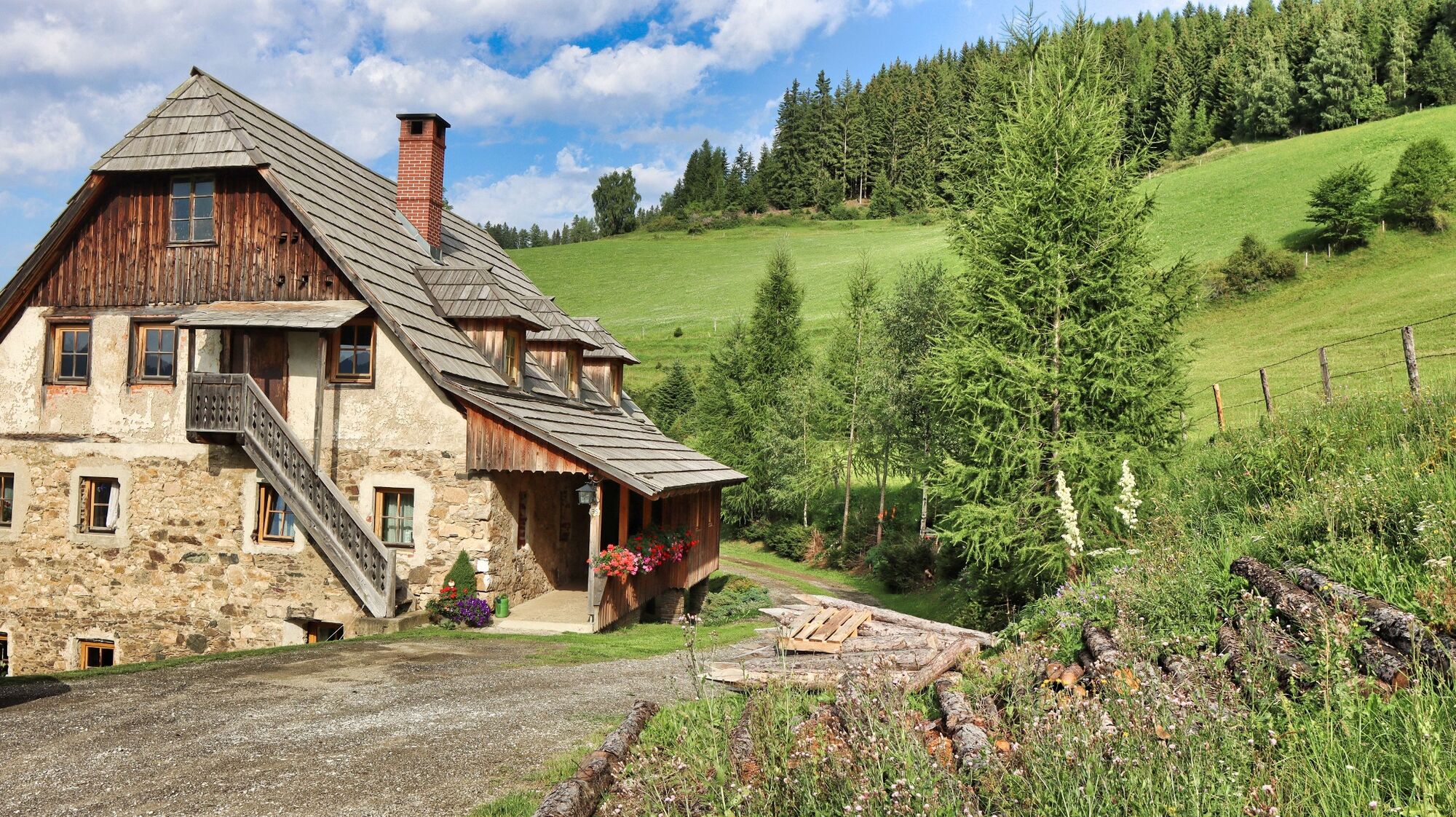
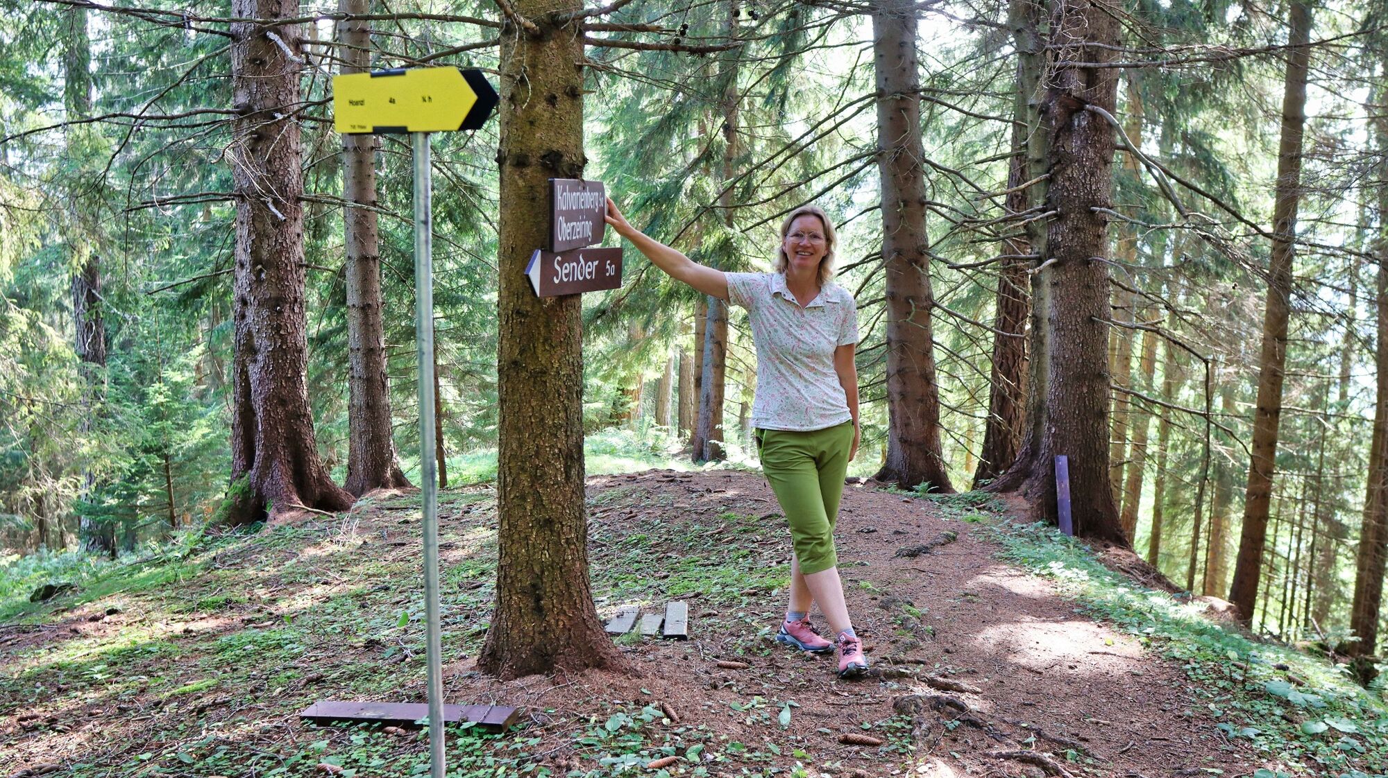
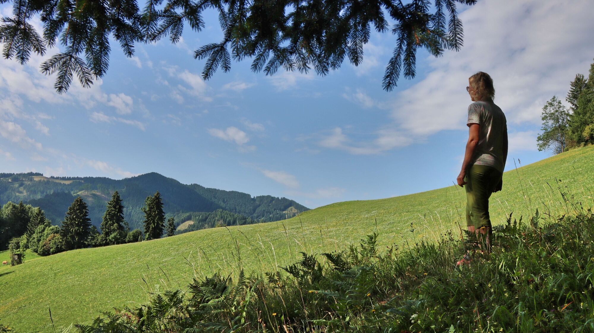
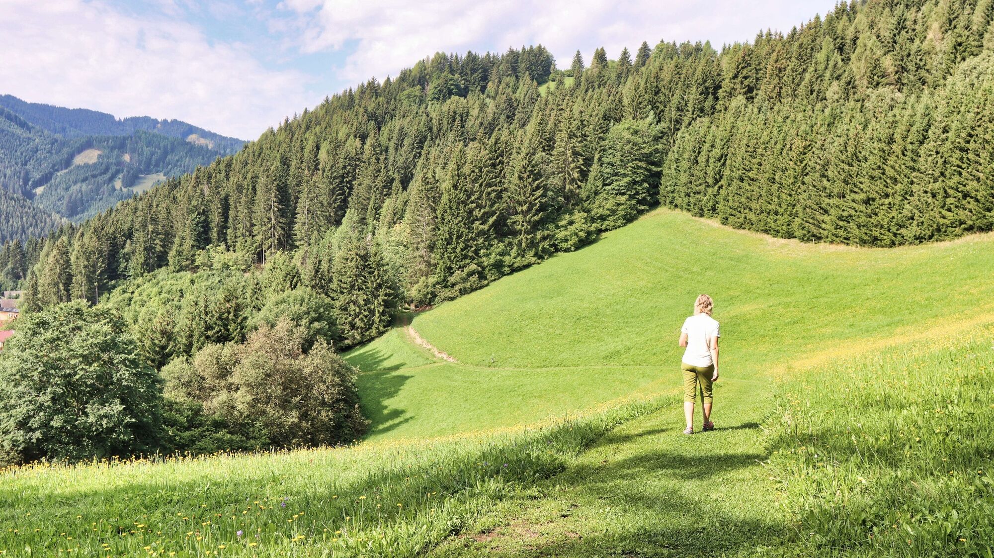
A circular hike with forest and meadow character to the highest point of the mountain ridge in the north of Oberzeiring, to the transmitter, and via the Kalvarienberg church back to Oberzeiring.
- Dificultad
-
fácil
- Valoración
-
- Ruta
-
OberzeiringPfarrkirche St. NikolausGasthaus Zum Grüner Specht0,0 kmKalvarienbergkirche4,7 kmPfarrkirche St. Nikolaus6,0 kmOberzeiring6,0 kmGasthaus Zum Grüner Specht6,0 km
- La mejor temporada
-
enefebmarabrmayjunjulagosepoctnovdic
- Punto álgido
- 1.260 m
- Punto final
-
Center of Oberzeiring
- Perfil alto
-


- Autor
-
La gira Oberzeiring - circular hike to the transmitter es utilizado por outdooractive.com proporcionado.
GPS Downloads


Información general
Vistas panorámicas
Más circuitos por las regiones