

© Gerhard Pilz

© Gerhard Pilz - www.gpic.at - Gerhard Pilz

© Fotograf Herfried Marek - Schladming Dachstein - TVB Sölktäler

© (c) Herfried Marek - Herfried Marek

© Erlebnisregion Schladming-Dachstein - Schladming Dachstein

© Fotograf Herfried Marek - Schladming Dachstein - TVB Sölktäler

© Gerhard Pilz

© Fotograf: Volkhard Maier - Schladming Dachstein

© Erlebnisregion Schladming-Dachstein - Schladming Dachstein

© Erlebnisregion Schladming-Dachstein - Schladming Dachstein
- Breve descripción
-
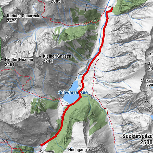
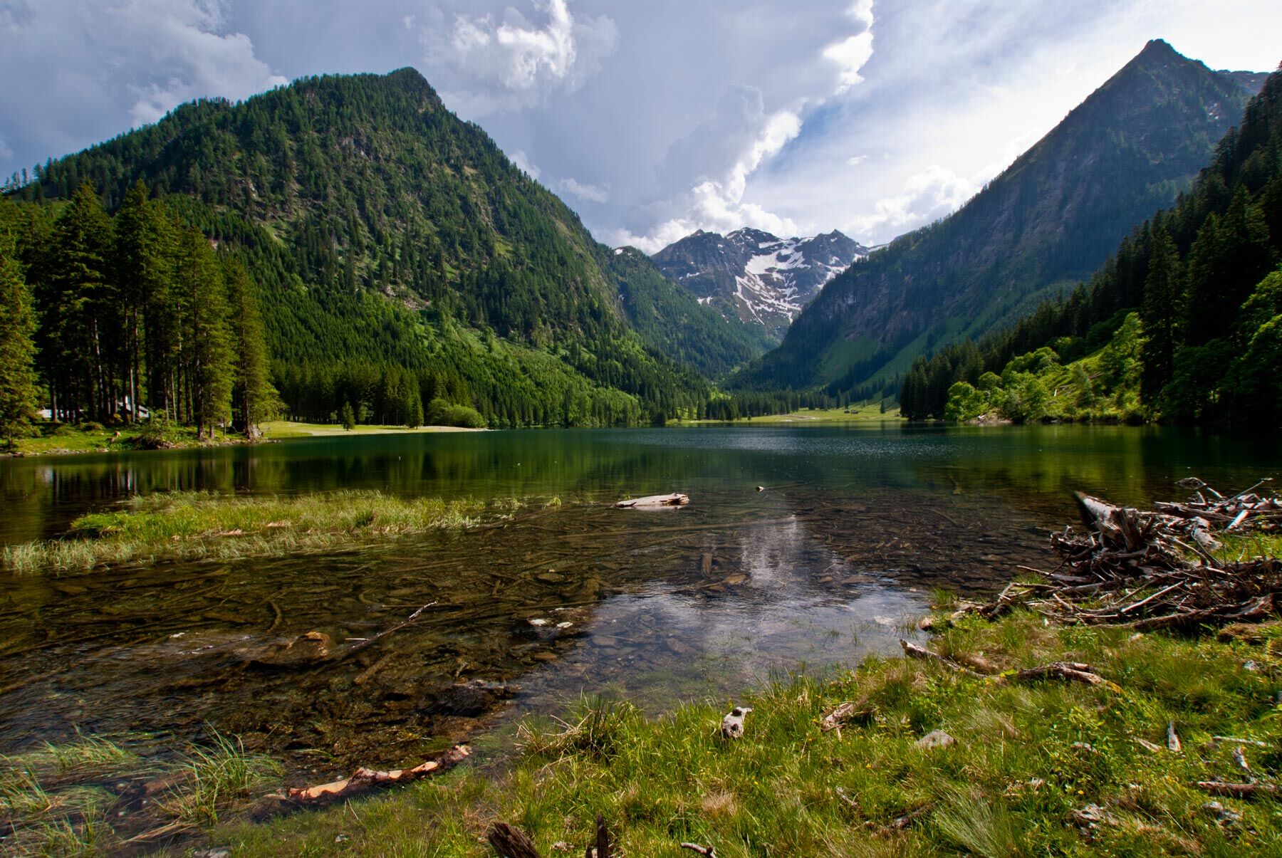
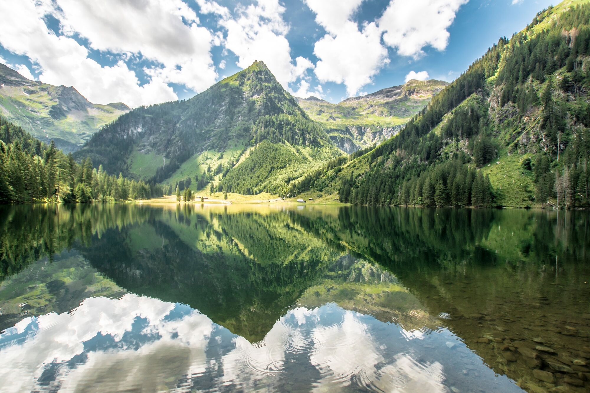
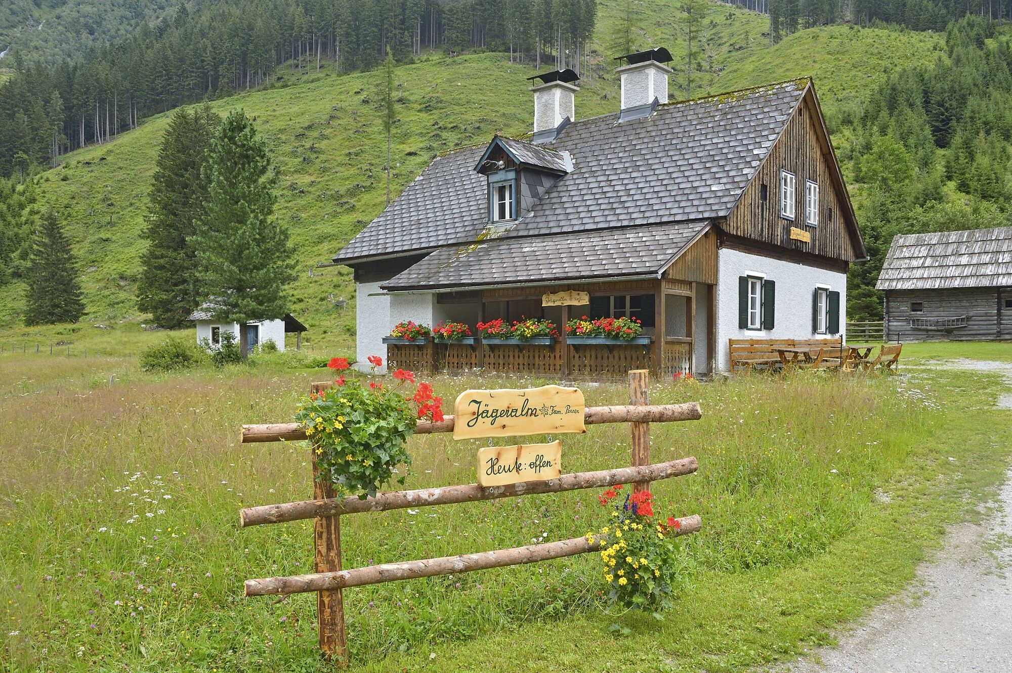
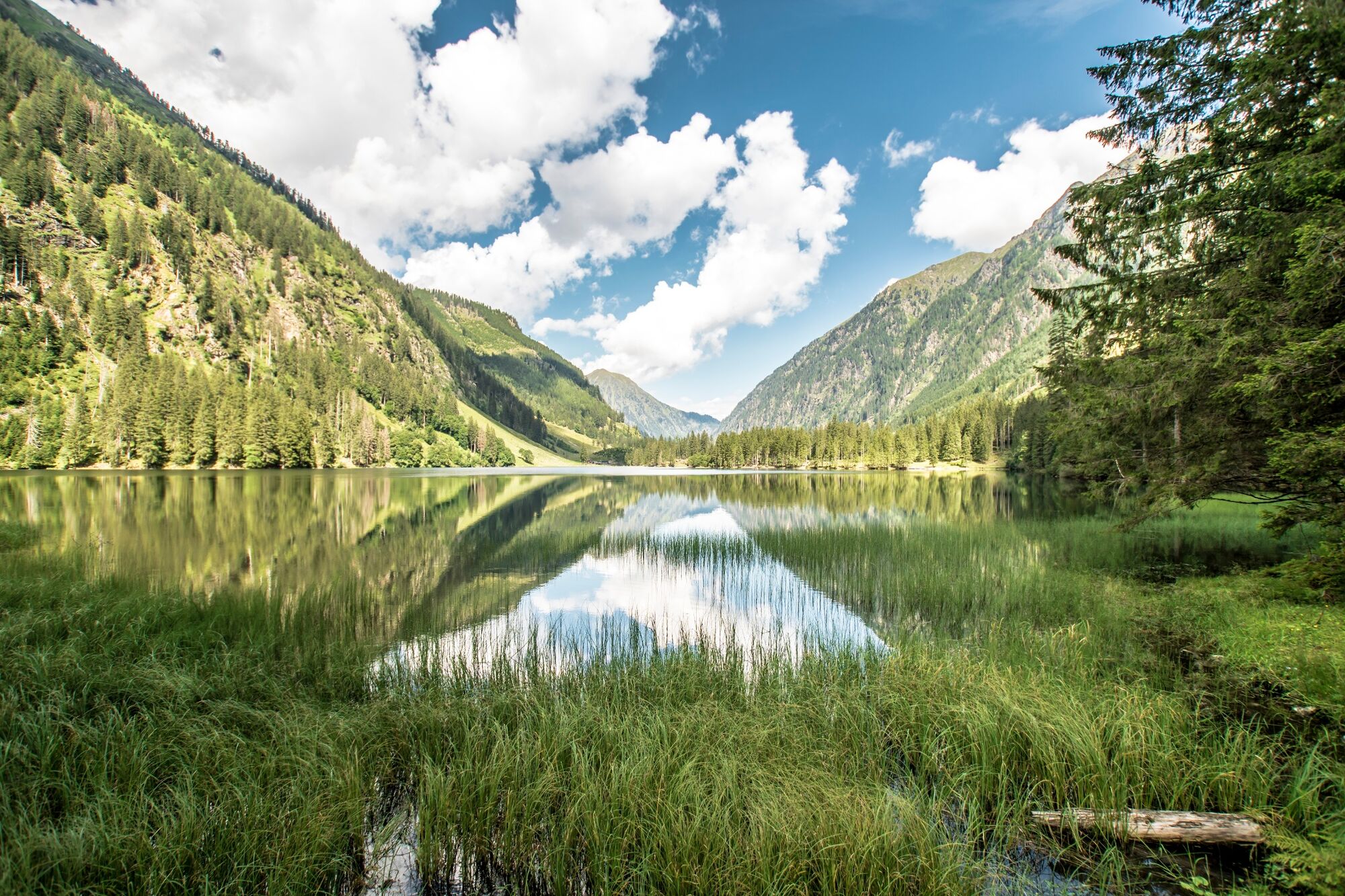
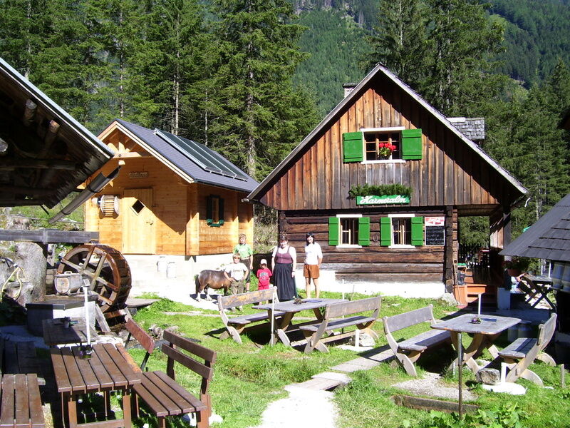
An easy but very varied hike takes us from the Breitlahnhütte in the Kleinsölktal to the Schwarzensee and on to the Putzentalalm. Beautiful family hike with water show path and numerous petting animals at the Putzentalalm.
The western shore of the Schwarzensee is closed due to danger of falling rocks!
- Dificultad
-
fácil
- Valoración
-
- Ruta
-
Jägeralm3,0 kmPutzentalalm5,7 kmJägeralm8,4 km
- La mejor temporada
-
enefebmarabrmayjunjulagosepoctnovdic
- Punto álgido
- 1.353 m
- Punto final
-
Putzentalalm
- Perfil alto
-


- Autor
-
La gira Hike to Putzentalalm es utilizado por outdooractive.com proporcionado.
GPS Downloads


Información general
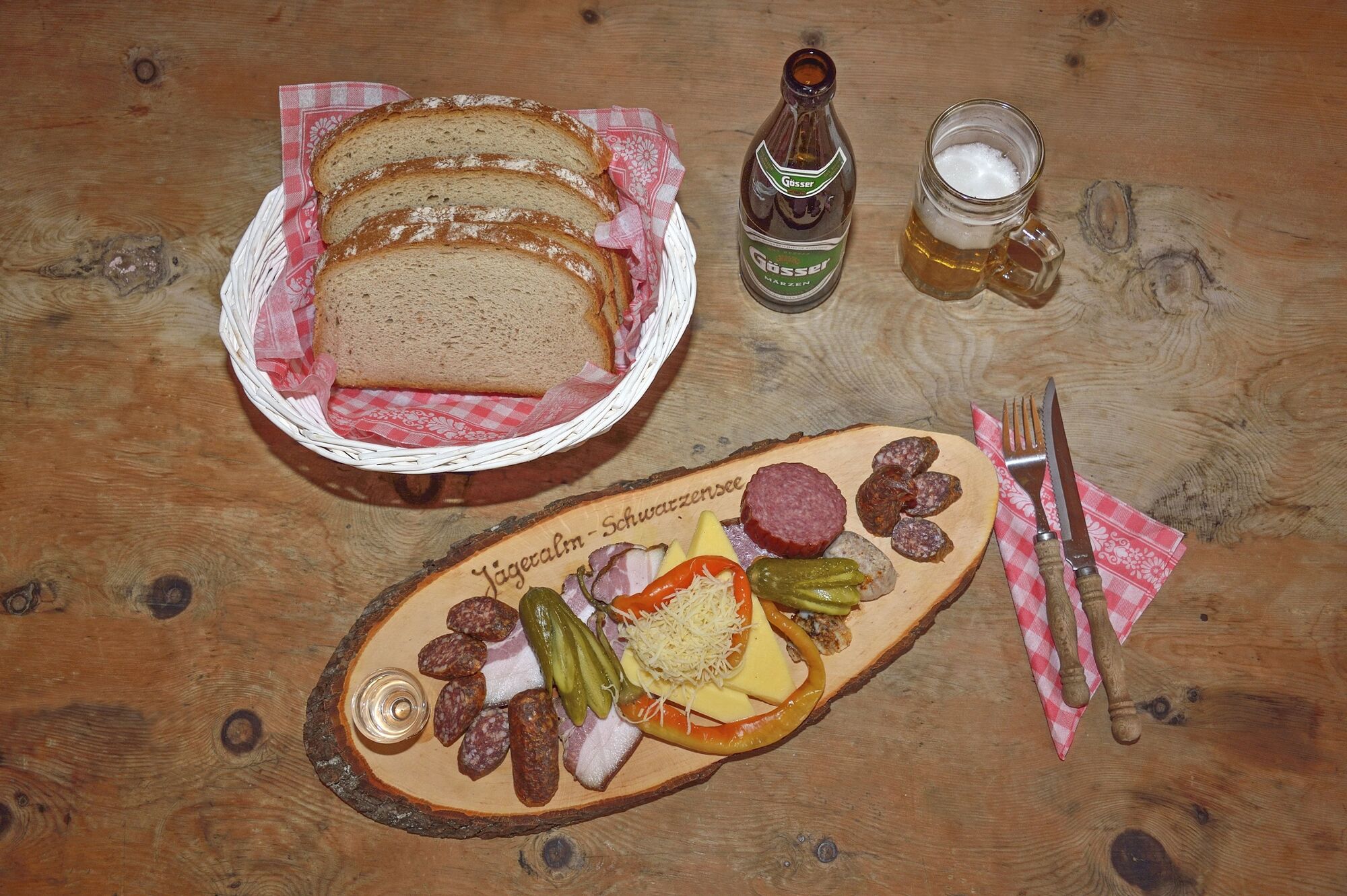
Punto de avituallamiento
Secreto
Flora
Fauna
Vistas panorámicas
Más circuitos por las regiones
-
Schladming - Dachstein
3000
-
Naturpark Sölktäler
927
-
Kleinsölktal
235


