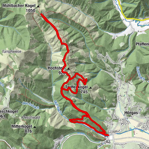
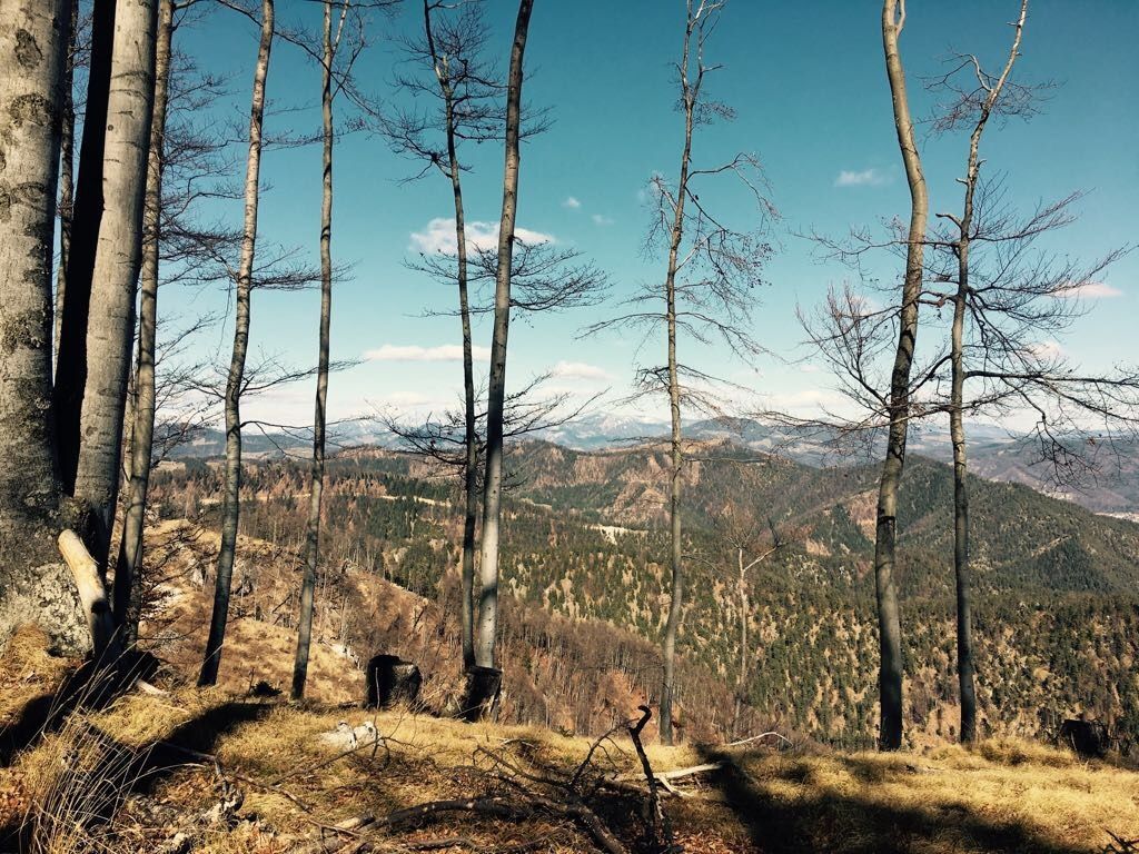
Datos del tour
15,75km
455
- 968m
505hm
416hm
03:56h
- Dificultad
-
medio
- Valoración
-
- Punto de salida
-
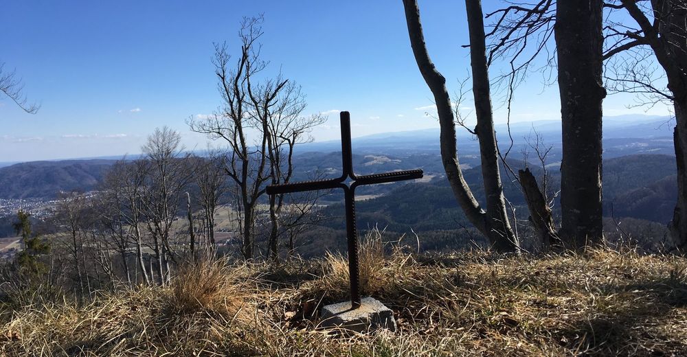
Stift Rein
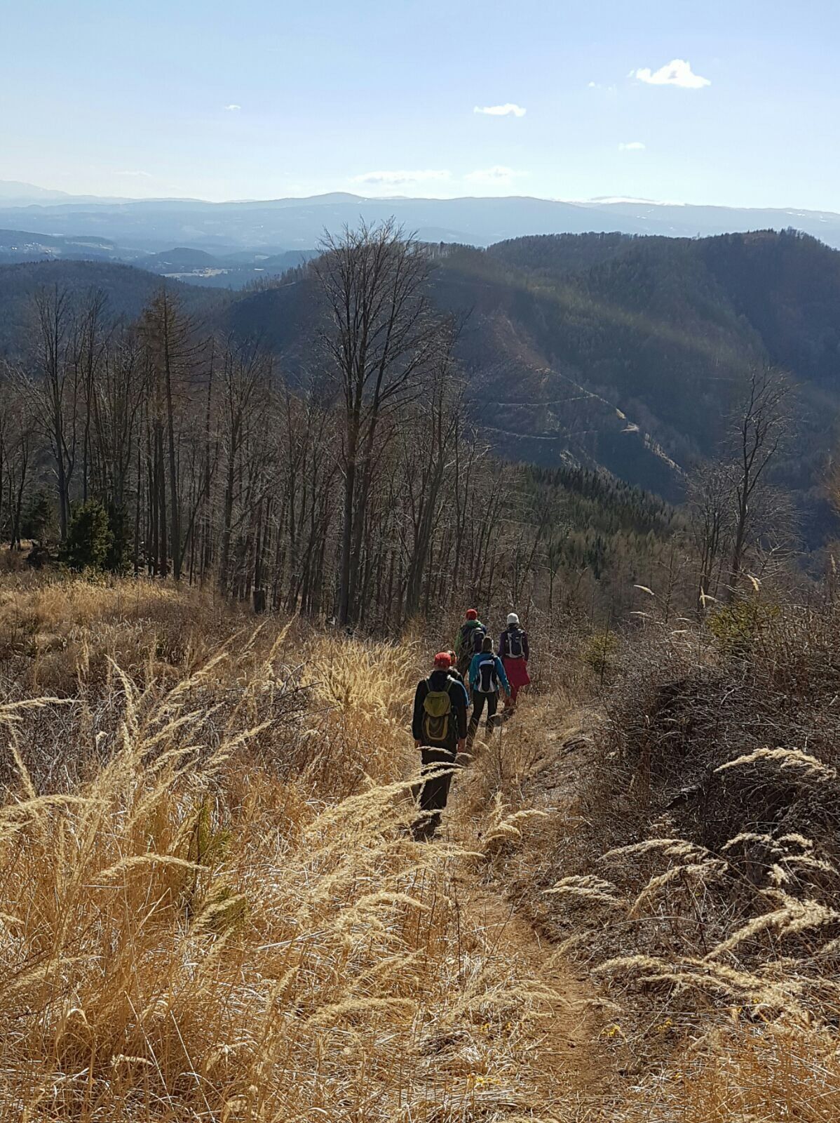
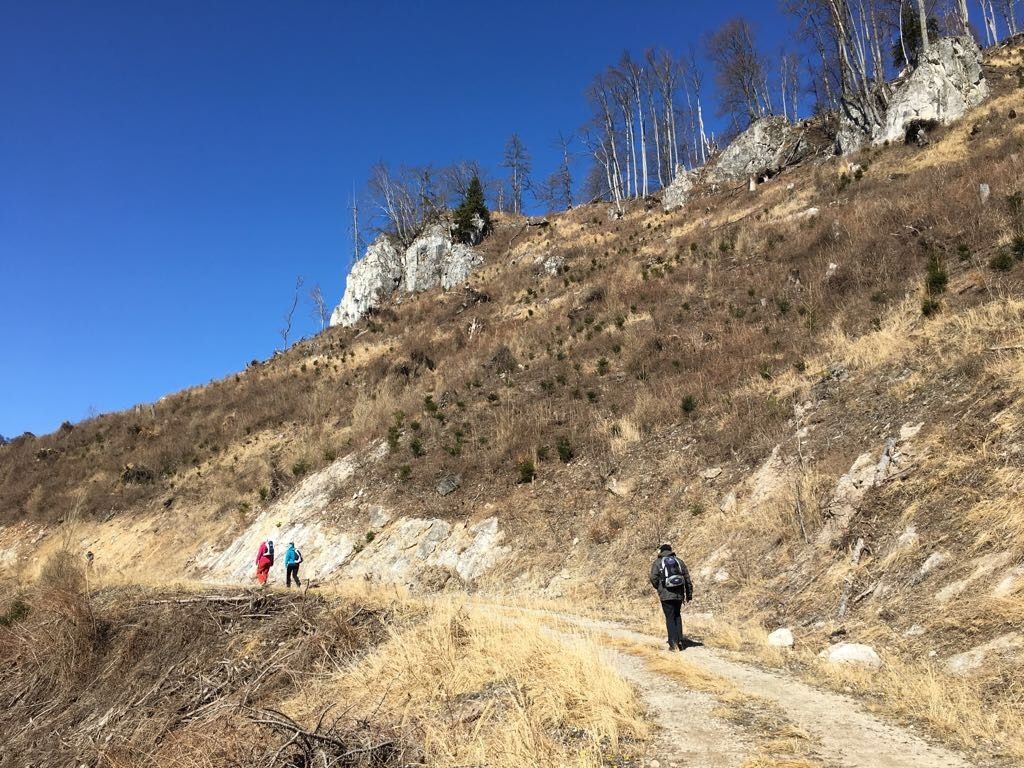
- Ruta
-
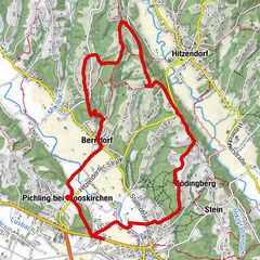
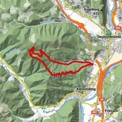
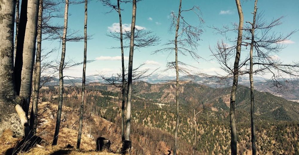
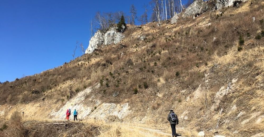
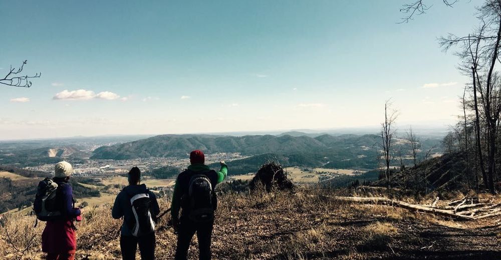
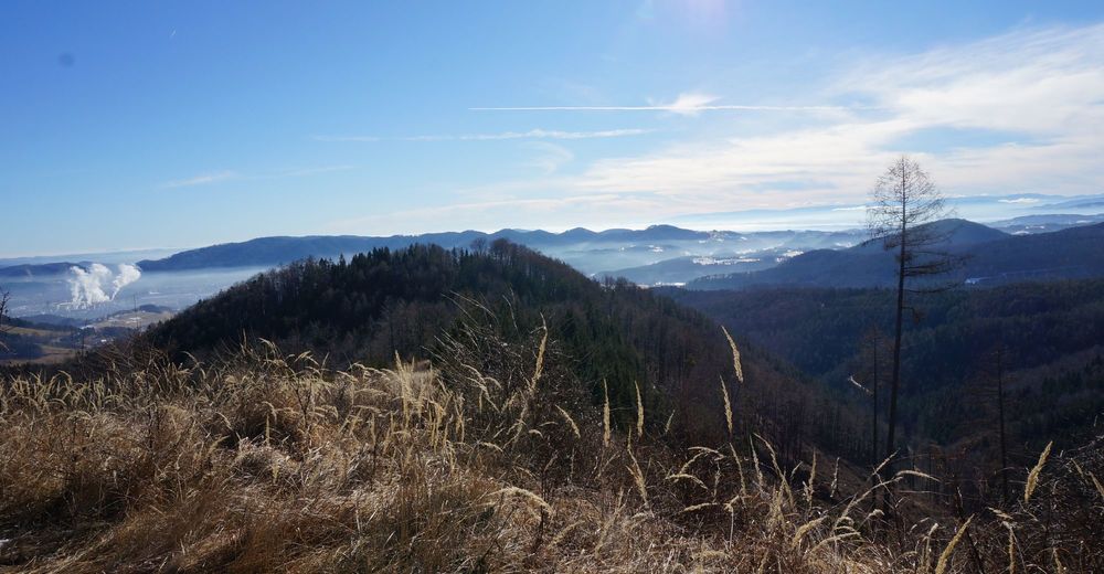
ReinMühlbacherhütte (996 m)6,1 kmRein15,7 km
- La mejor temporada
-
enefebmarabrmayjunjulagosepoctnovdic
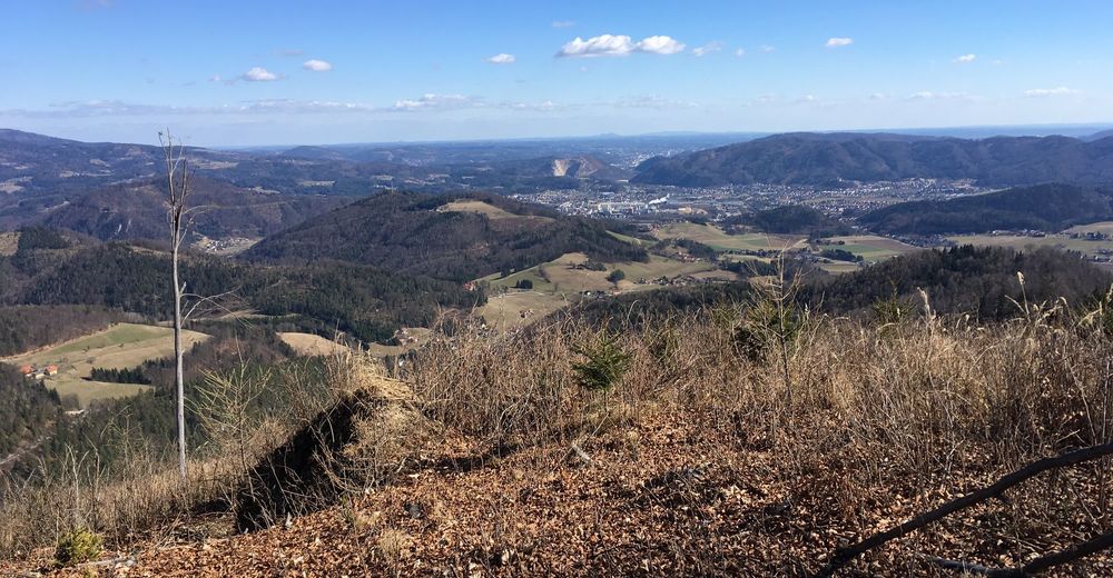
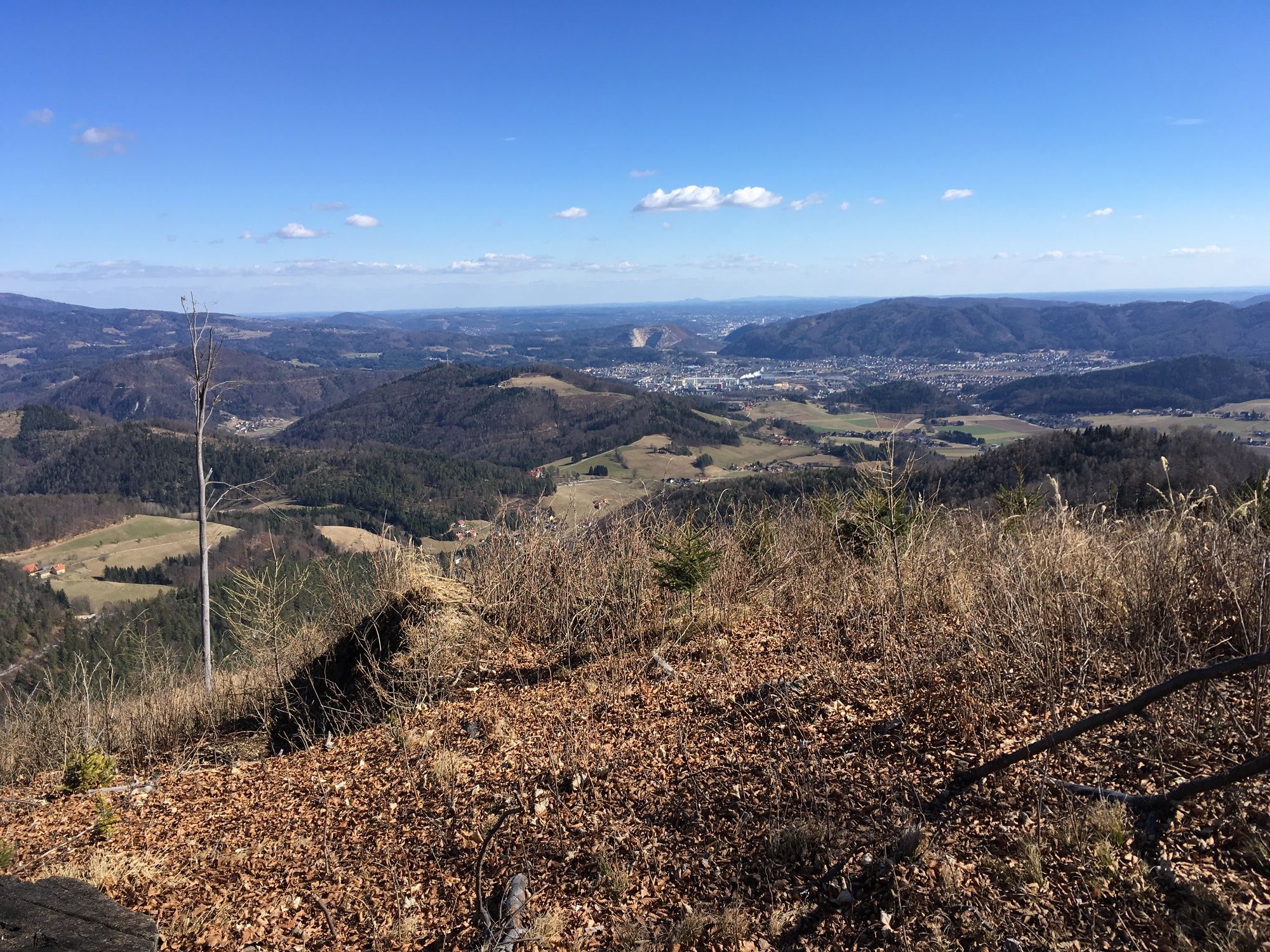
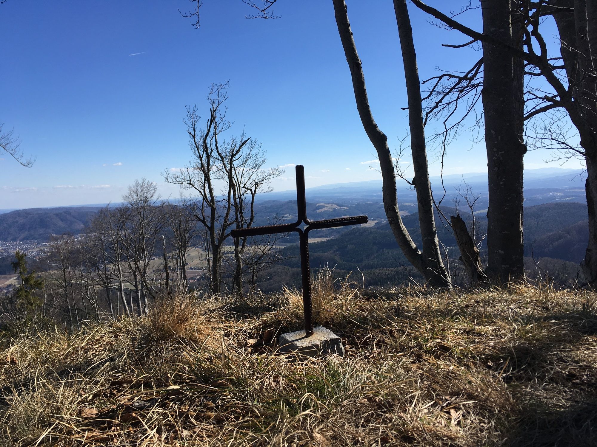
- Punto álgido
- 968 m
- Punto final
-
Mühlbacher Hütte
- Descanso/Avituallamiento
-
Mühlbacherhütte


GPS Downloads


Más circuitos por las regiones
-
Erlebnisregion Graz
2783
-
OberGraz
1731
-
Gratwein
715