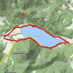
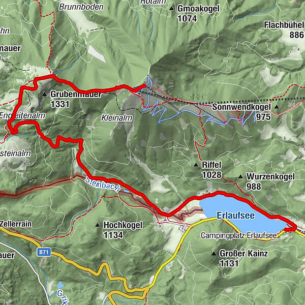
From Lake Erlauf via the Brach to the Gemeindealpe

Senderismo
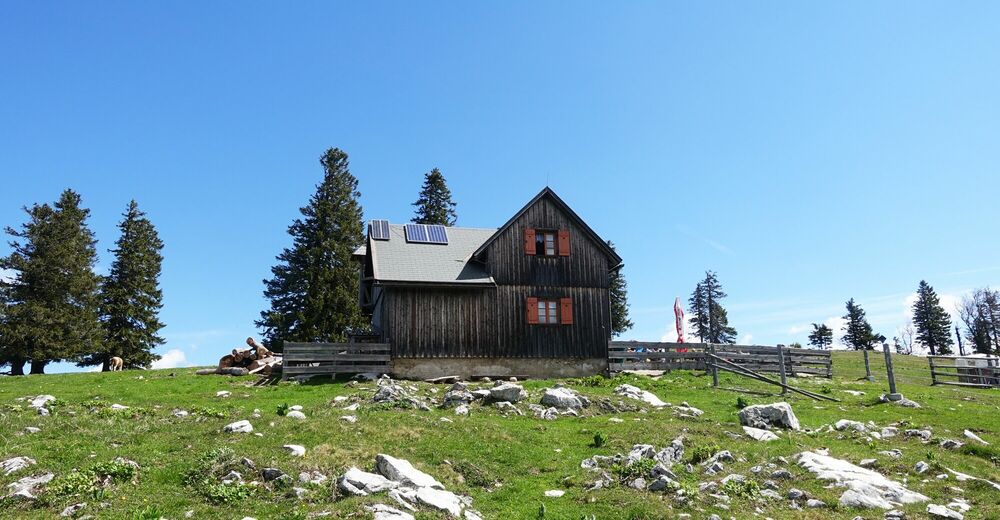
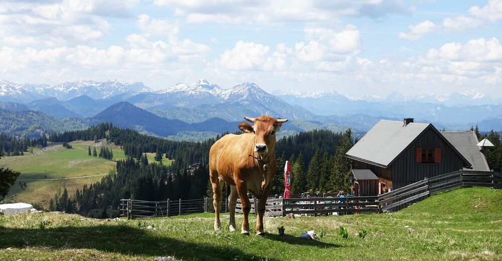
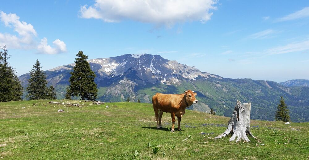
© Mostviertel Tourismus/Sonja Stadlbauer
© Mostviertel Tourismus/Sonja Stadlbauer
© Mostviertel Tourismus/Sonja Stadlbauer
- Breve descripción
-
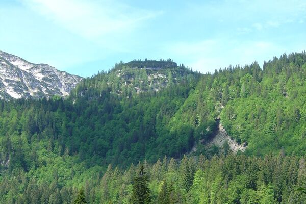
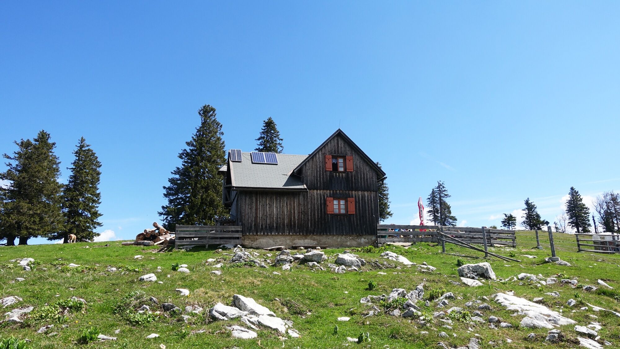
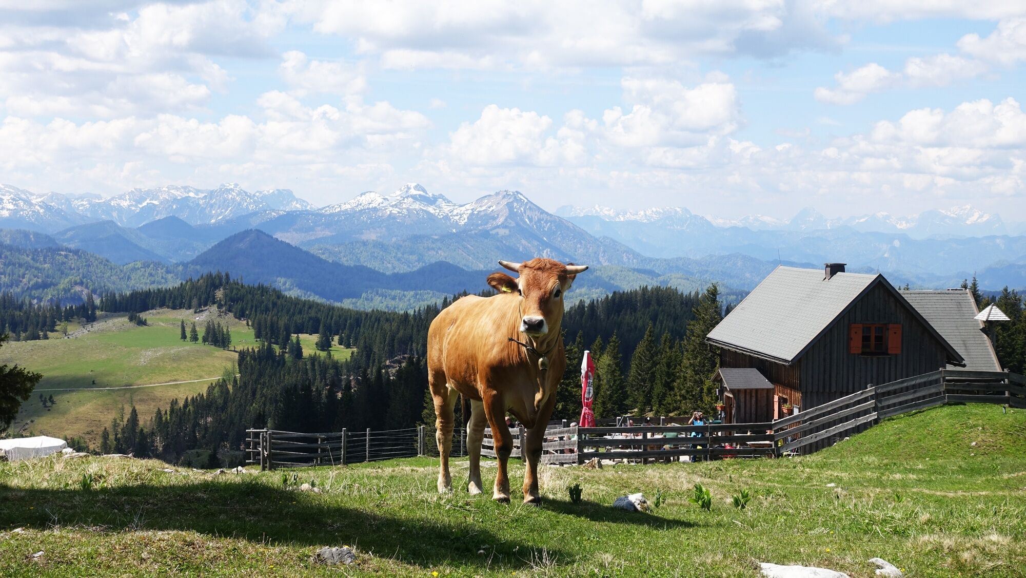
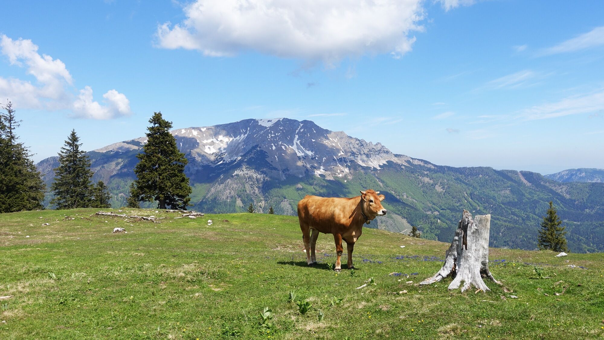
Beautiful summit hike from Lake Erlauf via the Erlaufursprung and the Halterhütte Brach to the summit of the Gemeindealpe.
- Dificultad
-
medio
- Valoración
-
- Ruta
-
HerrenhausErlaufursprung4,4 kmWetterloch6,2 kmHalterhütte auf der Brach8,2 kmGemeindealpe (1.626 m)10,2 km
- La mejor temporada
-
enefebmarabrmayjunjulagosepoctnovdic
- Punto álgido
- 1.616 m
- Perfil alto
-

- Autor
-
La gira From Lake Erlauf via the Brach to the Gemeindealpe es utilizado por outdooractive.com proporcionado.
GPS Downloads


Información general
Punto de avituallamiento
Secreto
Vistas panorámicas
Más circuitos por las regiones
-
Mostviertel
2453
-
Mariazellerland
1503
-
Gemeindealpe / Mitterbach am Erlaufsee
403