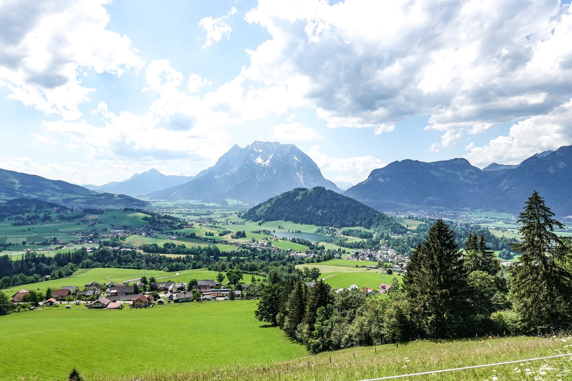
© Erlebnisregion Schladming-Dachstein - Roland Gutwenger

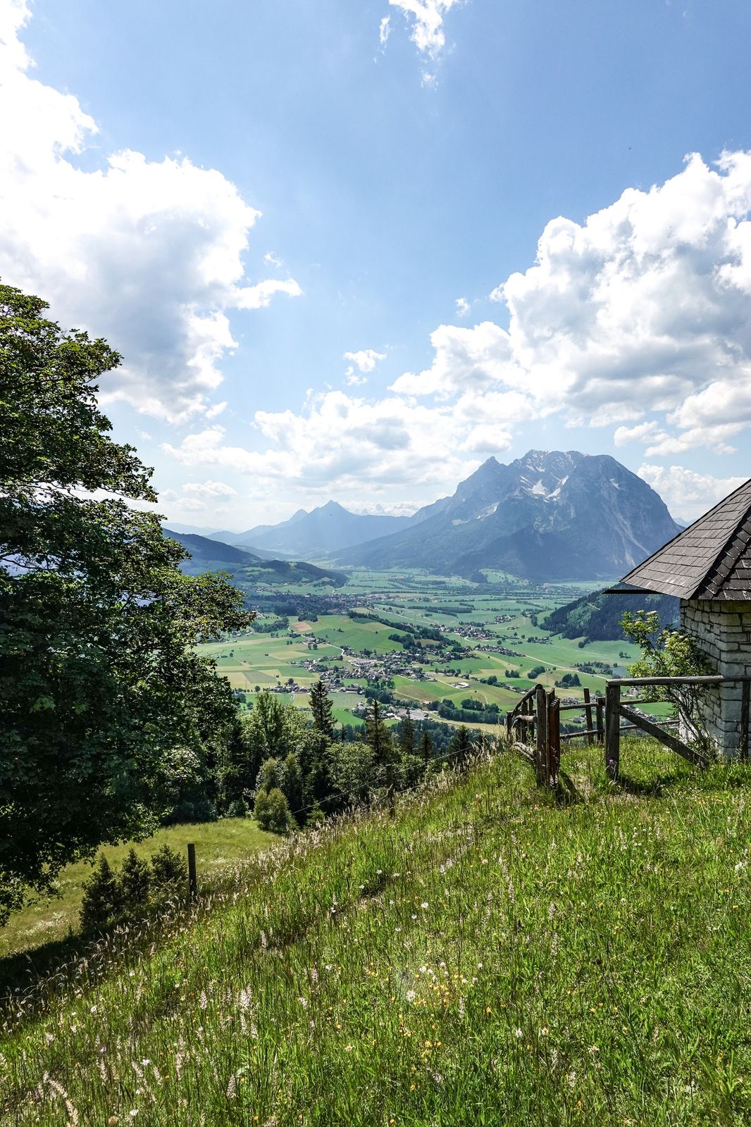
© Erlebnisregion Schladming-Dachstein - Roland Gutwenger

© Erlebnisregion Schladming-Dachstein - Roland Gutwenger

© Tourismusverband Grimming-Donnersbachtal - Roland Gutwenger
- Breve descripción
-
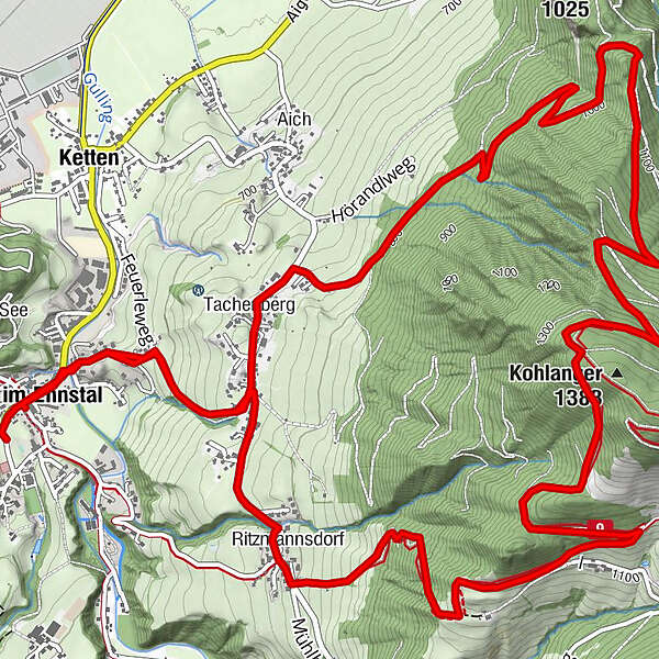
The further way to the perfect viewpoint Stalingradkapelle leads over the Kohlanger. As an encore, the Hohe Trett offers itself. Otherwise, it's best to descend to the chapel in the evening mood and enjoy the view.
- Dificultad
-
medio
- Valoración
-
- Ruta
-
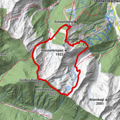
Aigen im Ennstal0,2 kmPfarrkirche Heiliger Florian0,2 kmTachenberg1,6 kmStalingradkreuz Kapelle8,8 kmMayerhofer Monika Bankerl9,5 kmRitzmannsdorf10,0 kmPfarrkirche Heiliger Florian12,0 kmAigen im Ennstal12,1 km
- La mejor temporada
-
enefebmarabrmayjunjulagosepoctnovdic
- Punto álgido
- 1.348 m
- Punto final
-
Parkingplace tennis court
- Perfil alto
-


-

-
AutorLa gira Kohlanger Trail es utilizado por outdooractive.com proporcionado.
GPS Downloads


Información general
Vistas panorámicas
Más circuitos por las regiones